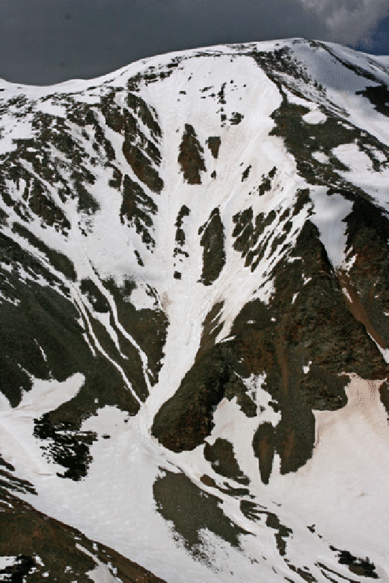
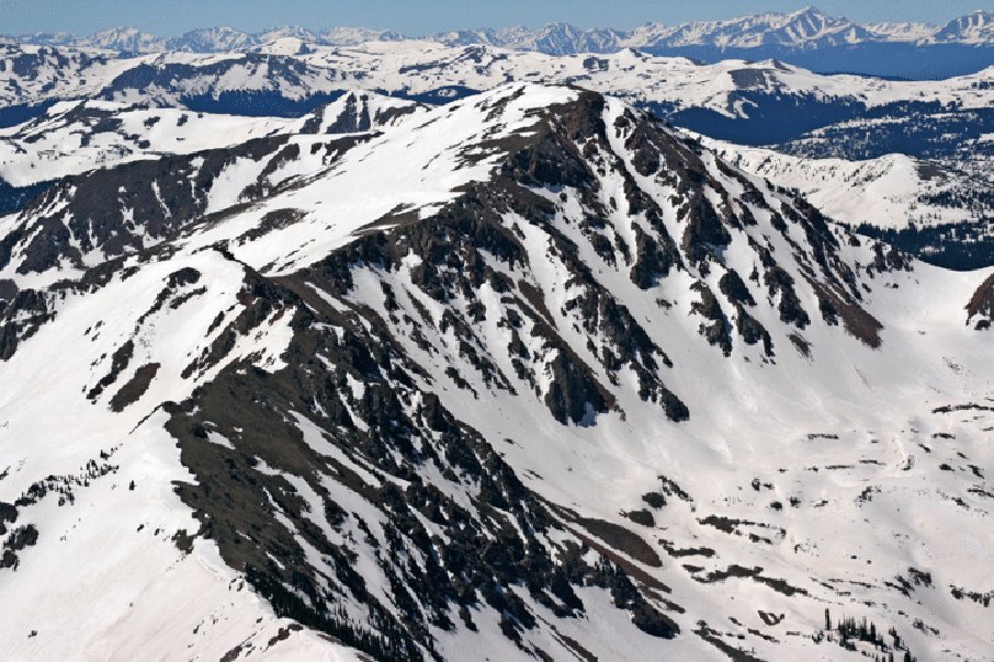
Steep Skiing in Colorado
Summit County Skiing: Gore Range Breckenridge Area Grays and Torreys Area
Nearby Counties Skiing My Skiing Wish List More Ski Routes Long Ski Tours on Light Gear
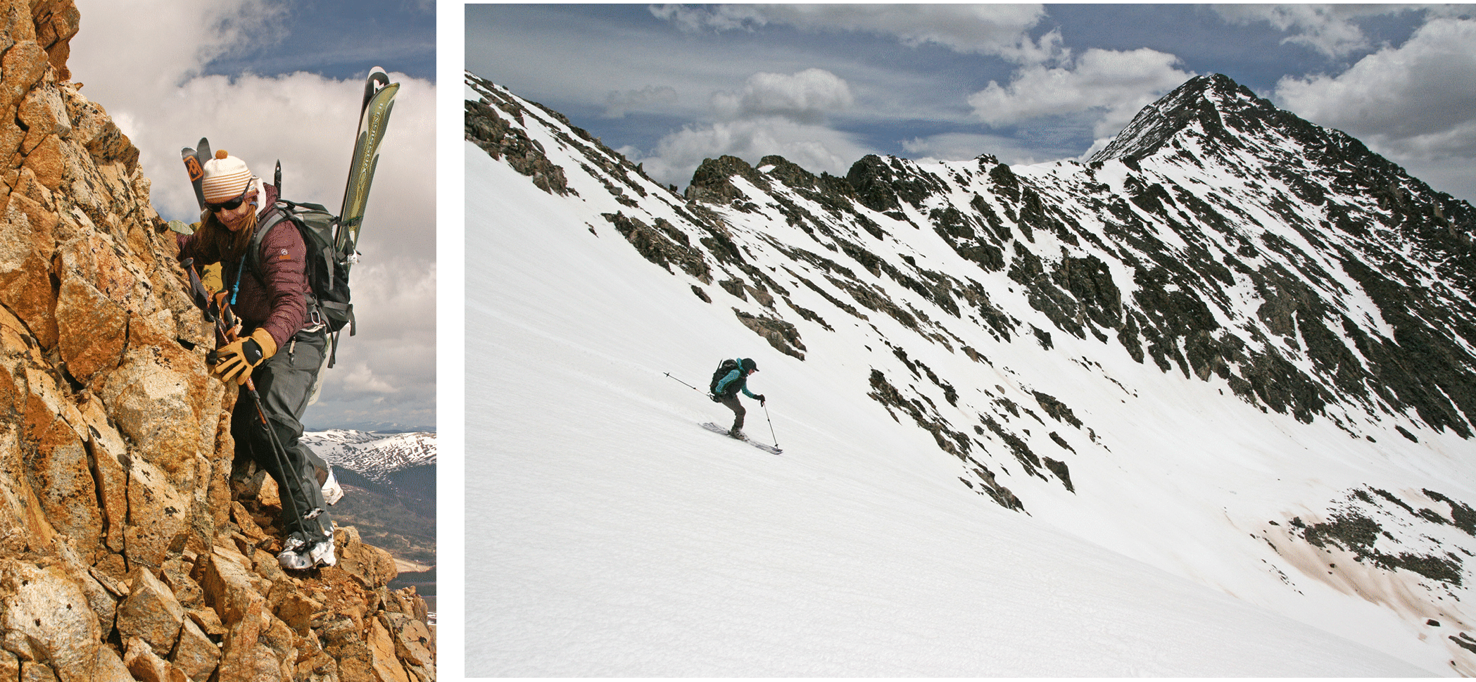
Getting to the goods sometimes takes an effort: Elke Dratch, left, on a tough approach. And Starr Jamison, right, enjoying perfectly cooked corn.
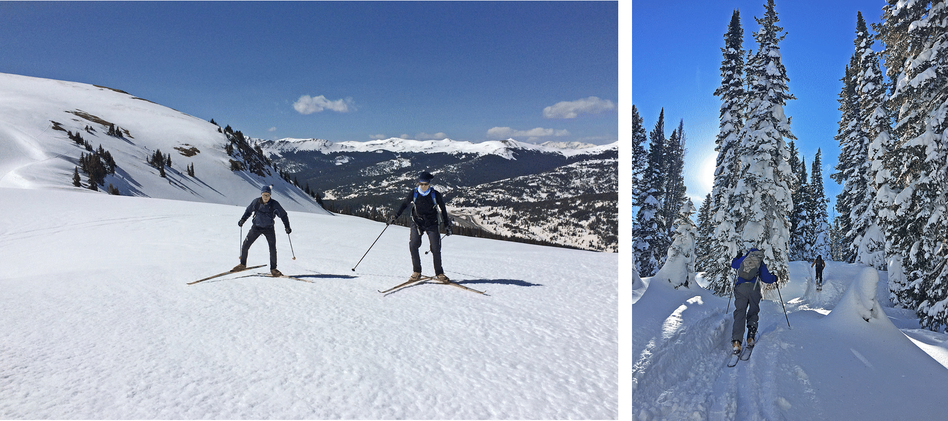
And Colorado skiing can take many different forms. Here on left Janet Jacks and Dave Blakeslee (and I) enjoy perfect crust cruising on skate skis near Uneva Peak (May 7, 2014). And on right is a photo from one of the many long ski tours one can do: this is from a long and difficult tour (Dec. 29, 2016) from Dumont Lake at East Rabbit Ears Pass to Mt. Werner and down the Steamboat Ski Area (photo by Kim Clark).
2024 Spring Blog (7 alpine ski days from April 1. Season ends on June 2
2023 Spring Blog (11 alpine ski days in Apriol and May; Season ends on May 17.
2022 Spring Blog (2 alpine ski days from April 1. Broken leg in Chalk Ck. Season ends on April 4)
2021 Spring Blog (17 alpine ski days from March 24 to June 12)
2020 Spring Blog (22 ski days from April 3 to June 10)
2019 Spring Blog (33 ski days from April 12 to June 12)
2018 Spring Blog (4 ski days from April 29 to May 21)
2017 Spring Blog (15 ski days from May 6 to June 18)
2016 Spring Blog (18 ski days since May 3 to June 18)
2015 Spring Blog (13 ski days from May 2 to June 28)
2014 Spring Blog (20 ski days from May 7 to June 14; last day: June 14)
2013 Spring Blog (18 ski days in May-June; last day: June 6)
2012 Blog (worst spring season; 0 ski days in May, couple in April; last day: April 7)
2011 Blog (28 ski days in May/June/July; last day: July 4)
2010 Spring Blog (8 ski days in May/June/July; last day: June 6)
2009 Spring Blog (23 ski days in May/June/July; last day: July 2)
2008 Spring Blog (24 ski days in May/June; last day: June 29)
2007 Spring Blog (21 ski days in May/June; last day: June 22)