Willis Gulch
David and Vicki Nebel and Joan and I drove to the Skutumpah Road (which came more quickly after Cannonville than we expected) and easily drove to the Willis TH. The hike down for about 1.5 miles was scenic, and we returned so as to explore Bull Valley as well. But we had trouble with the standard directions. We went upstream for 700 yards and descended to the canyon floor, but water was flowing and we would not be able to negotiate the immediate pouroff downstream. So we retreated to the road and went about one mile along the right rim. There a cairned route led down some rough terrain for about 300 feet to the canyon bottom. I spent only a few minutes at the scenic spot and then clambered back up quickly and we returned to the car.
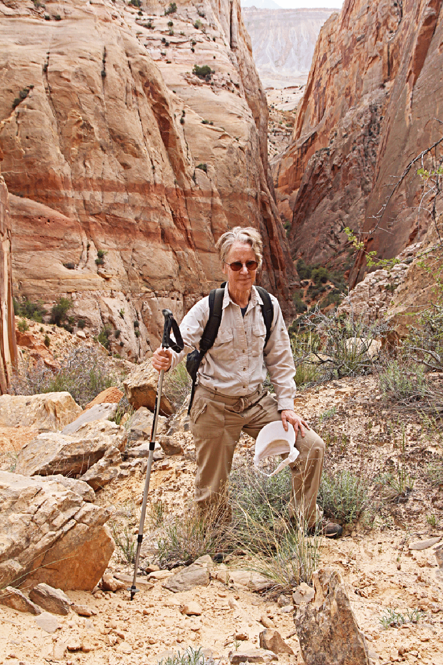
On the previous day Joan and I went to the end of Surprise Canyon. It was not very exciting, though the flowers (Utah Penstemon especially) were excellent.
Joan near the end of the trail in Surprise Canyon.
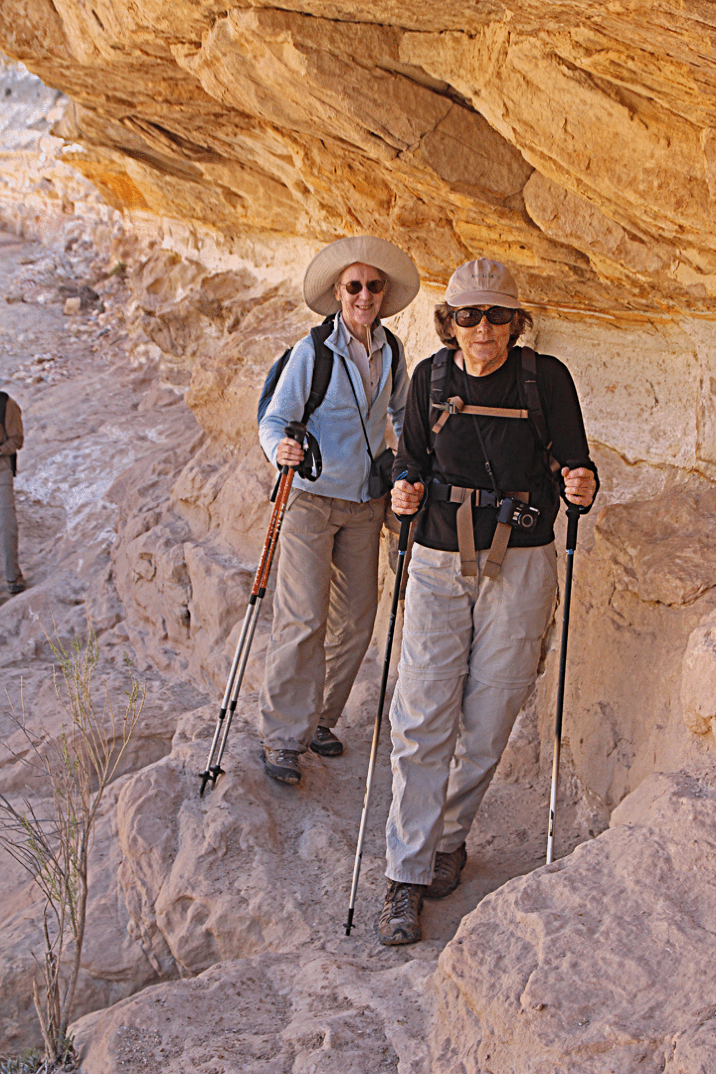
Joan and Vicki on a little section avoiding the bottom, near the start of Willis Gulch.
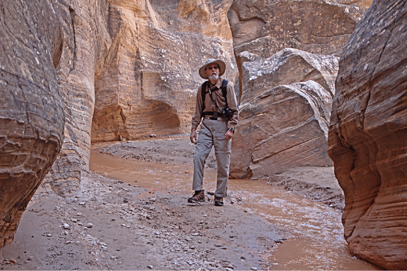
David about to enter a nice section of narrows.
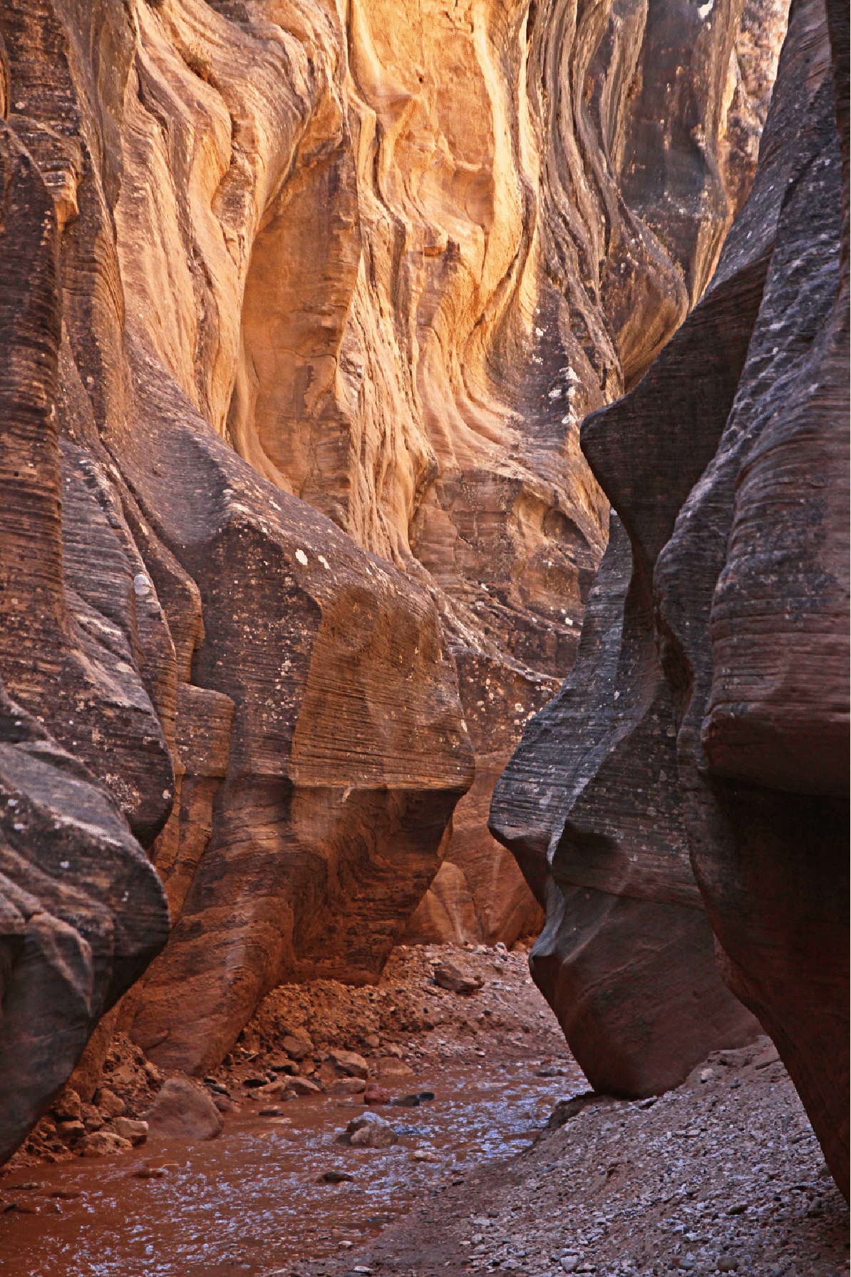
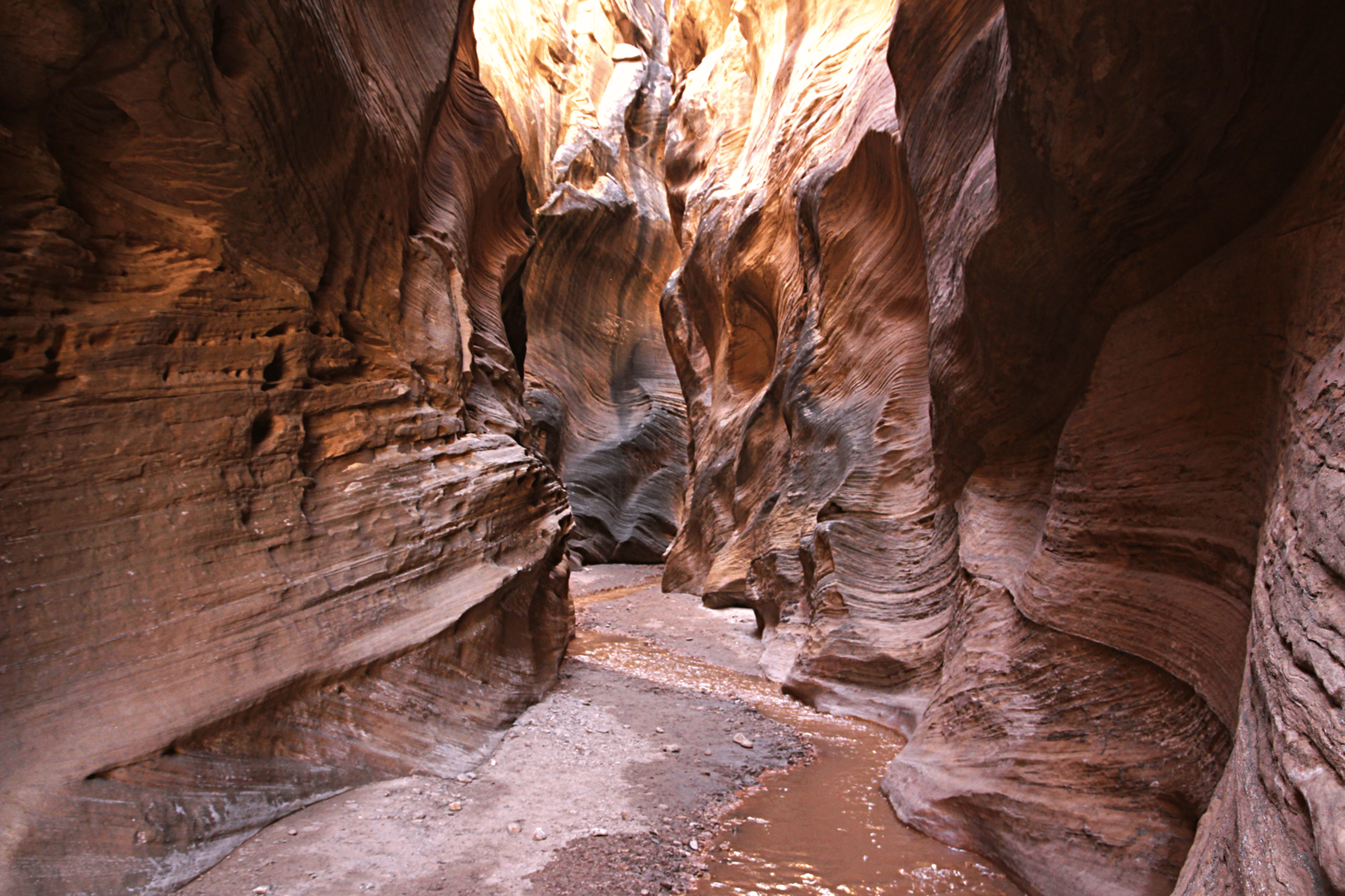
Lovely shapes in a narrow section of Willis Gulch.
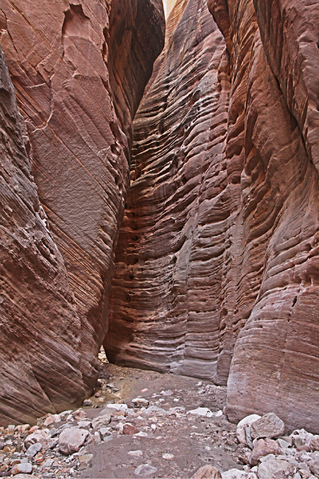
A tripod shot of some narrows.
Looking downstream from the spot where I entered Bull Valley Gorge, about a mile below the road.