Moody Canyons
We took the following route. Parked at the extremely remote Middle Moody trailhead (4WD to get there). Hiked down to Escalante River and camped at confluence with East Moody. The Escalante was running very fast and deep, but we never had to touch it. Day two: Up East Moody to near its head and the "Sheephunters Route" through the Wingate to its top. Camped about a mile beyond where we topped out. This was an 8-hour day, as the climb through the Chinle and Wingate was tough. We started the climb a bit too soon and should have waited until seeing the drainage from this canyon to avoid difficulties among house-sized Wingate boulders atop the Chinle. Day three: We were tentbound in heavy snow in the morning, but got out in the afternoon. We found a route through the Kayenta to the Navajo, and so could easily hike to the edge of Millers Canyon, providing fine northern views. Day four: Reverse the climb, with time out for a two-hour exploration of the Kayenta and Wingate just above the descent route. This route through the cliffs has three short sections of class 3-4 climbing. It is a beautiful route through an otherwise impassable area of cliffs. We camped at the confluence of East Moody and its West Fork. So far, we could just about match the shorter times in Steve Allen's guidebook. But on day five we found that he overestimated the time needed for one section. The final section to the car is shorter than his guidebook suggests. It took us 3.5 hours total.
It was cold and windy throughout, and naturally I was a little worried about the drive out in case heavy precipitation should come in, turning the road to mud. Well, very heavy rain and snow did come in, but not until we had reached the paved Burr Trail!
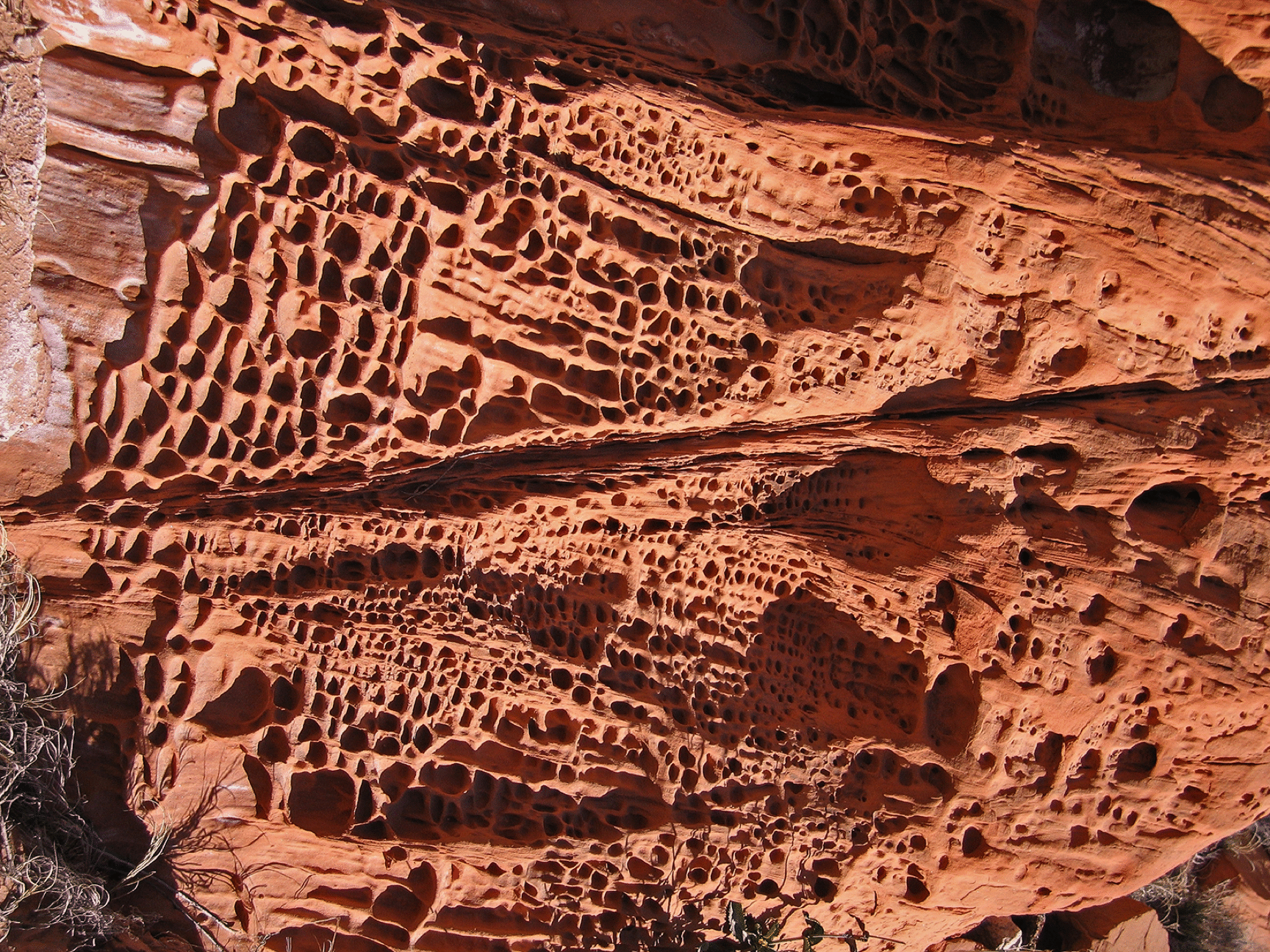
The tafoni (aka gnammas or boxworks) on the Wingate boulders in both Moody and East Moody was phenomenal. This one is in East Moody.
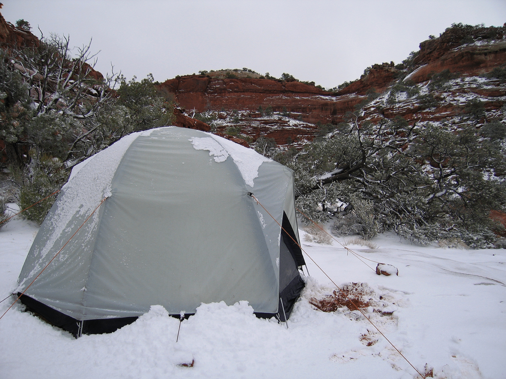
Our farthest camp on the Wingate saw a large snowfall one day, but it melted quickly.
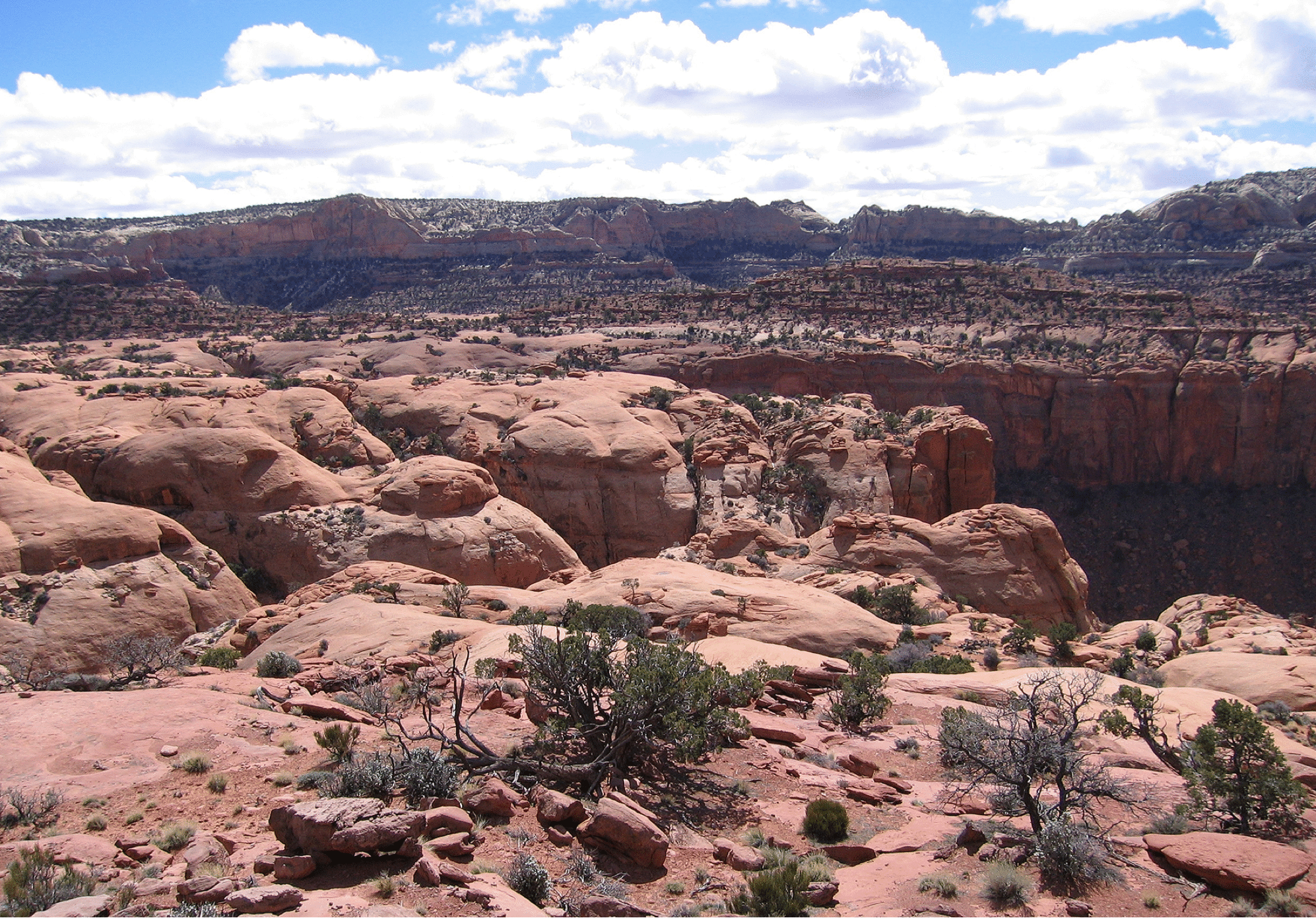
A view of the large area of Wingate sandstone at the top of East Moody Canyon. This was very scenic and provided easy and pleasant walking.