Photos
Day One: In by boat and then a 6.2-mile hike through Rainbow Bridge and Redbud Pass to Cliff Canyon.
A view of Belvedere Arch from directly below. Photo by Bill Briggs on his third visit, May 2017.
A view of Faraway Arch from directly below Belvedere Arch. Katie and I were surprised that were was such a good view of it from here.
The very rough canyon below Belvedere Arch (high on right). Photo by Jim Illg.
Our base camp at first contact with Cliff Canyon; this is Bernheimer’s Painted Rock Camp from the 1922 expedition that constructed the Redbud Pass trail. On the May recon Bill and I ran into four Navajos at this point: they were hiking clockwise around Navajo mountain.
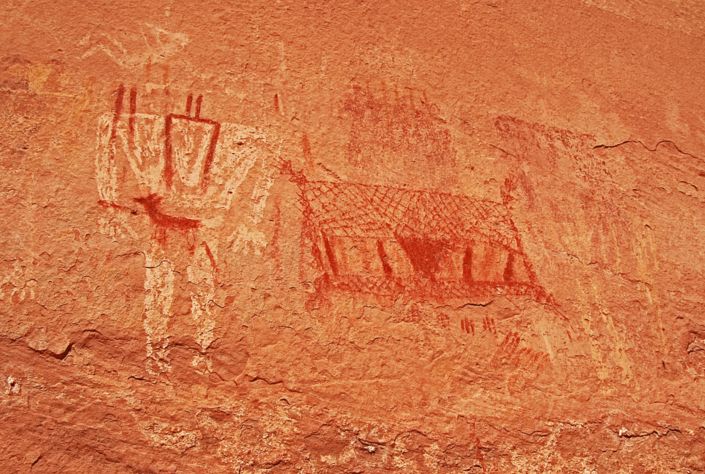
Pictographs near camp. It is amazing that some colors are vibrant over many centuries of exposure. Dave Roberts tells me that these are from the Basketmaker era. Note the flute-playing character at upper left (but not Kokopelli because no humpback). And the central red item appears to be a net.
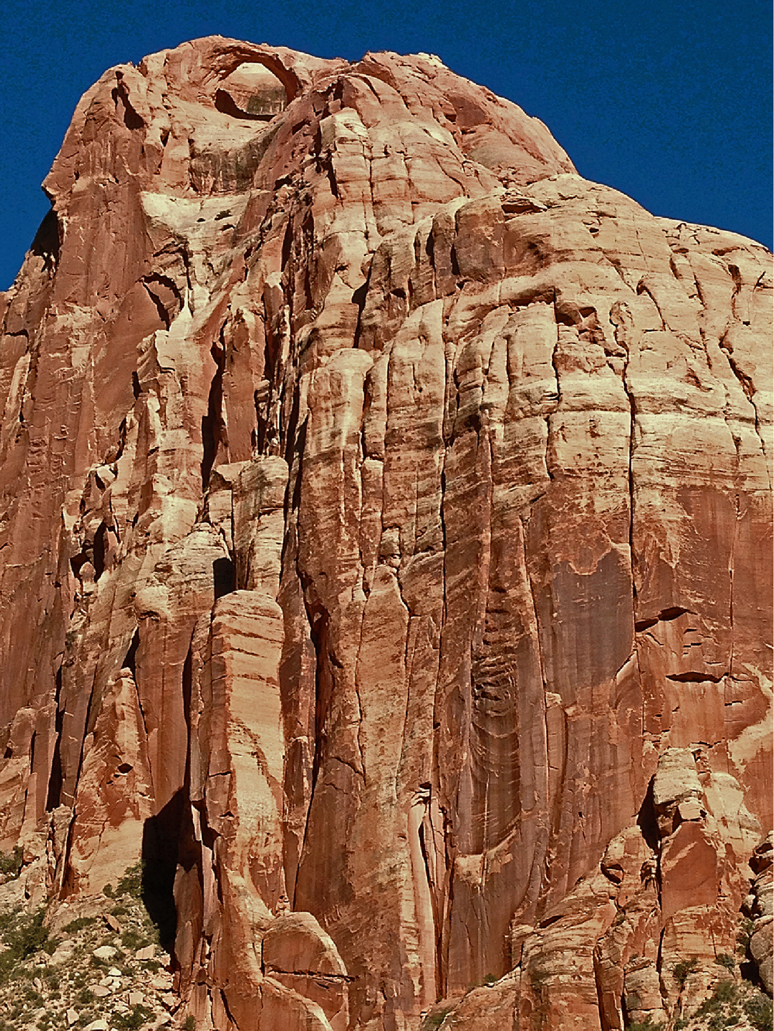
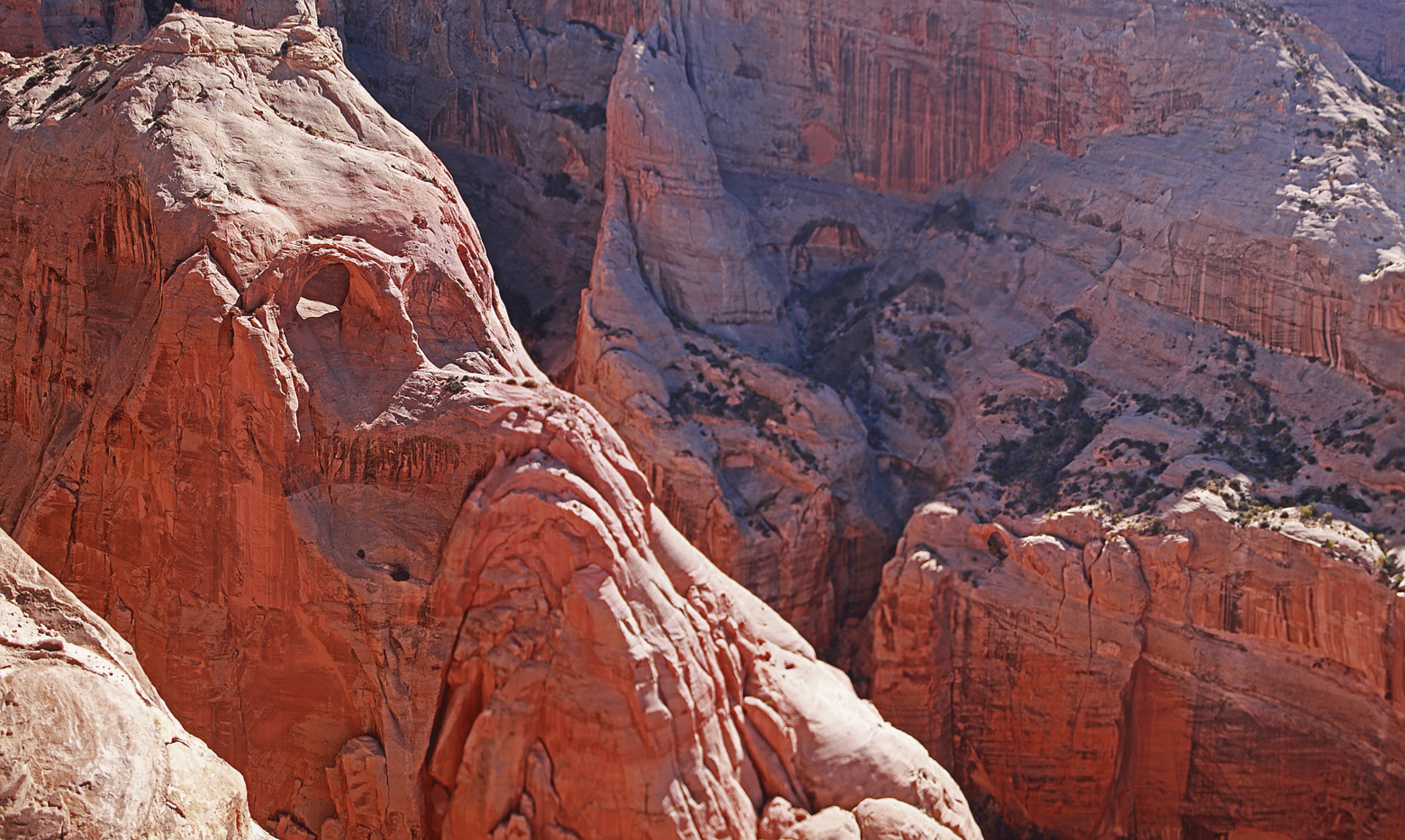
A view of Faraway Mesa: the crack route we hoped for is visible in center. The slab route (black line) right of center is a possibility but there is no protection.
Day Two: Redbud Spine
I was very excited about the chance of gaining Redbud Spine. Our ramp route to Redbud Spine is shown above. Probably that gully on the far right works but we went up at the trees in center. This ramp does go all the way up, with only one more roped pitch near the end of the red Navajo. The buttress out of frame at the right is in a photo in Bernheimer’s 1926 book “Rainbow Bridge”, and he calls it an elephant-shaped buttress. So we can call that striking piece of rock Elephant Butte.
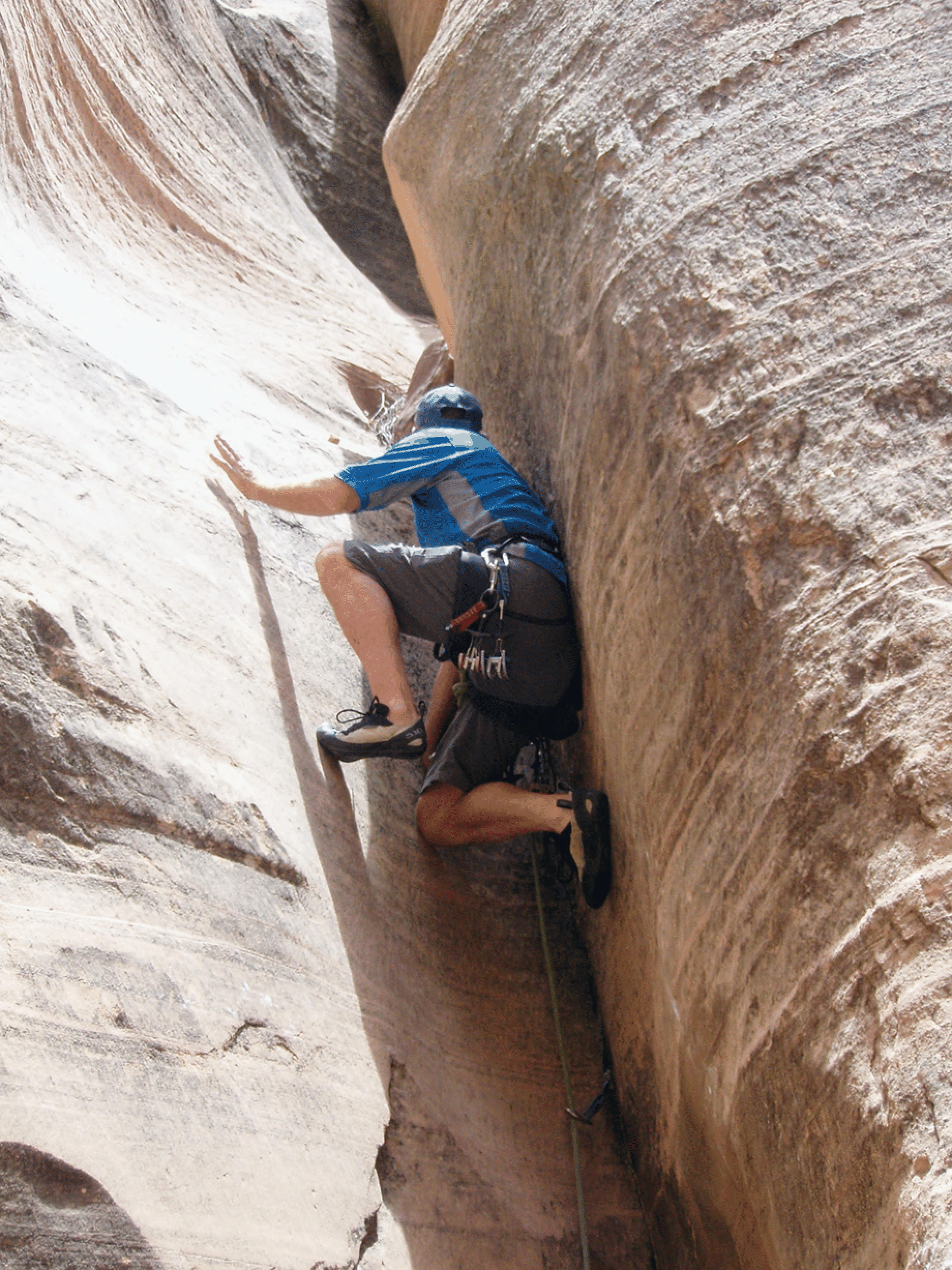
Bill moving up. Getting to the flat sandy area at lower right required finding a “miracle ramp”, which led us on nicely from a spot that looked like it could be a dead end.
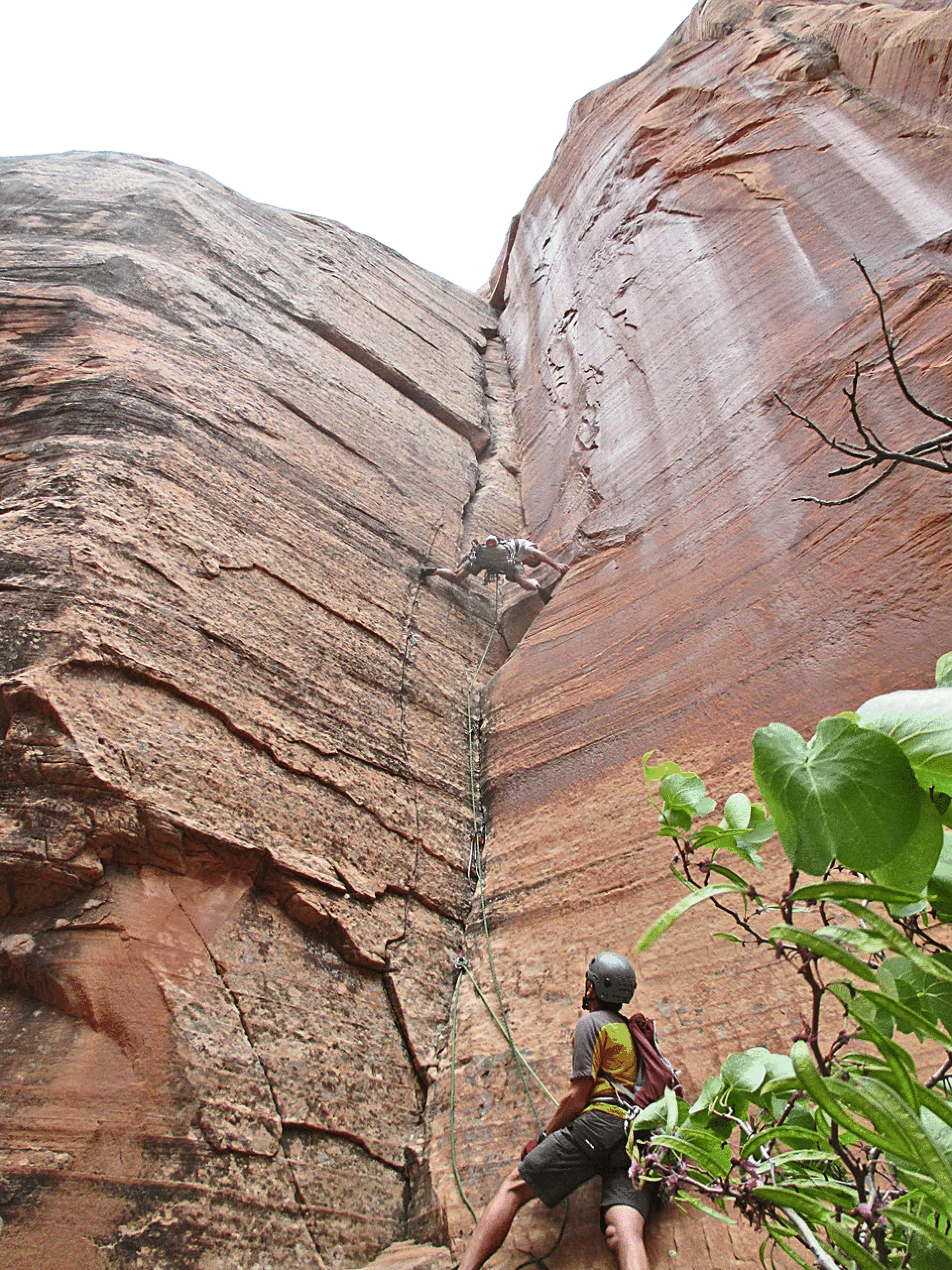
Jim climbing the crux pitch as we left the red Navajo for the white.
Jim on the Spine, with a glimpse of Lake Powell behind.
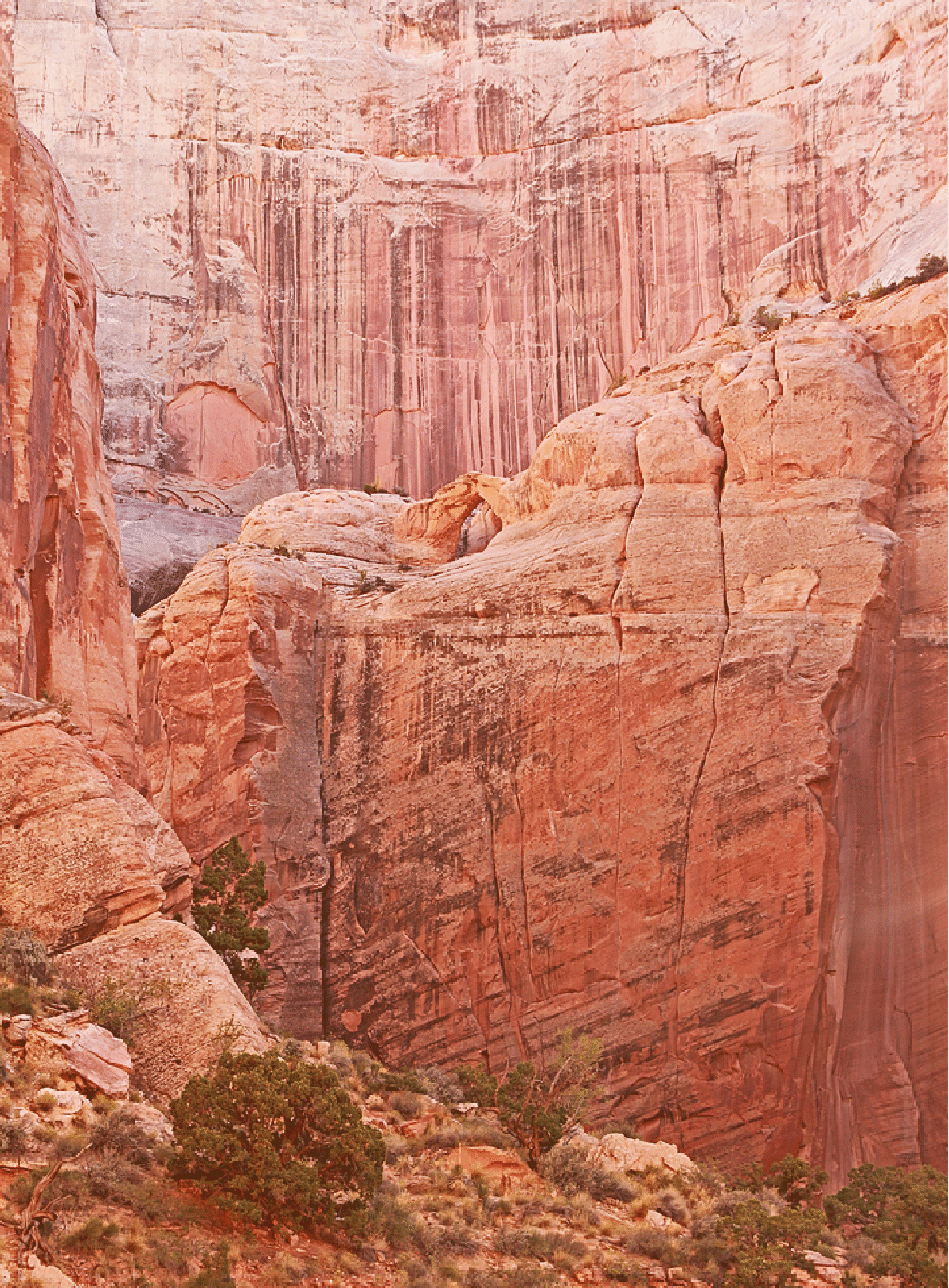
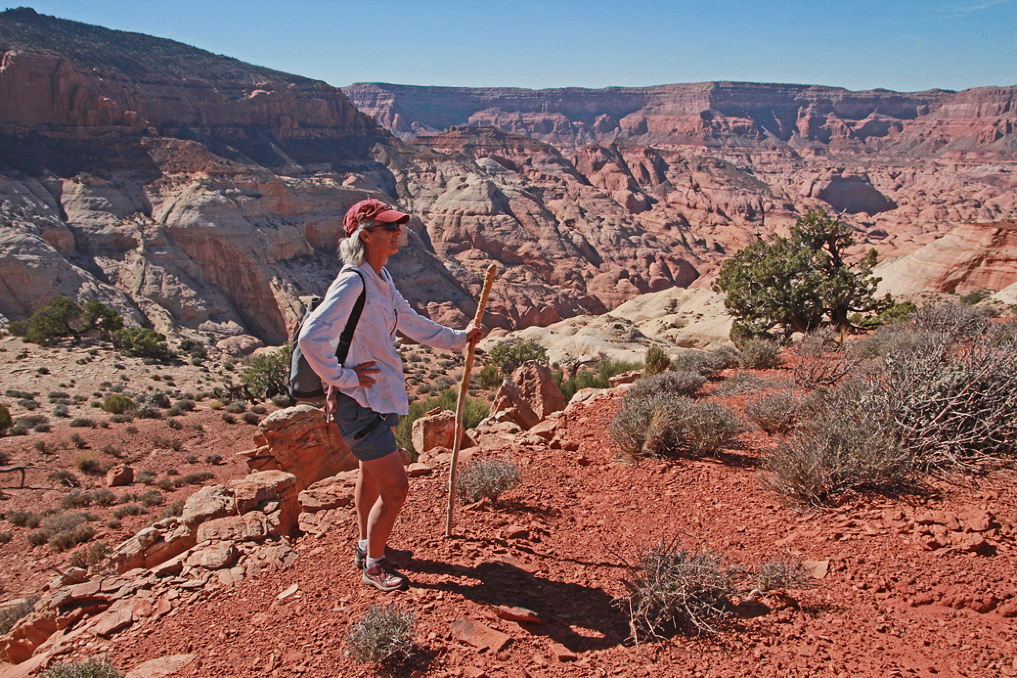
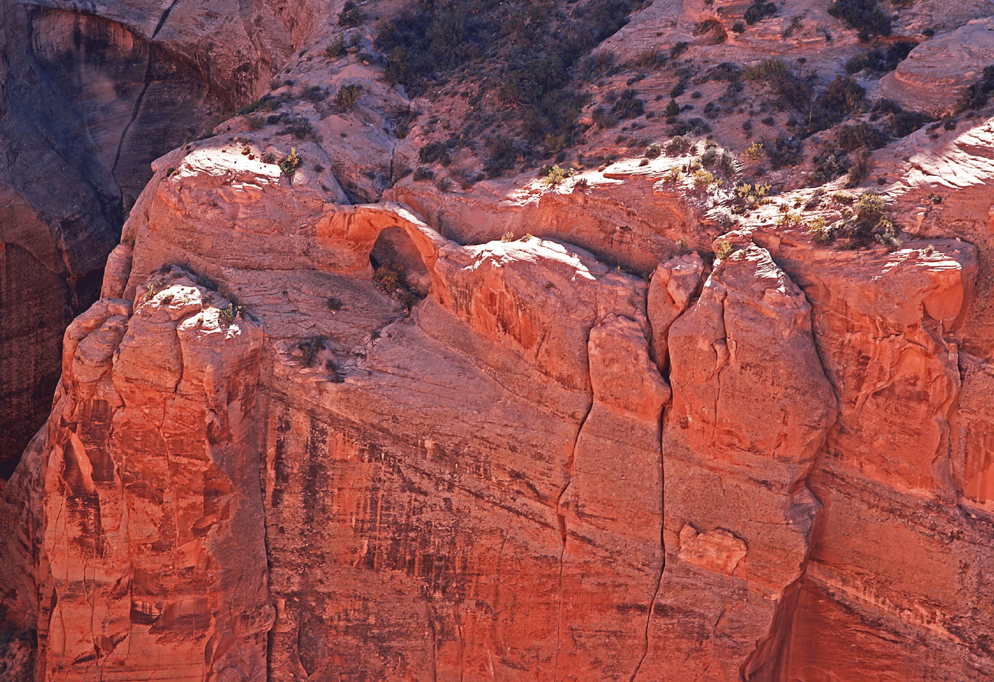
A view down our ramp. Camp was near the blind arch left of center (known as Rainbow Trail Arch). The shadow and cliff at right are near Redbud Pass. Cummings Mesa beyond Aztec Creek is in the distance. Photo by Jim Illg. What are the sandstone layers we see here? Navajo of course dominates. Then, looking in the distance: a thin layer of Carmel and then the reddish above that (steep slopes) is Entrada. The highest layers are a bit puzzling. I think it is Morrison at the top, but the reddish cliffs might be Summerville or Romana Mesa. The former usually has white gypsum striations, so maybe Romana is more likely.
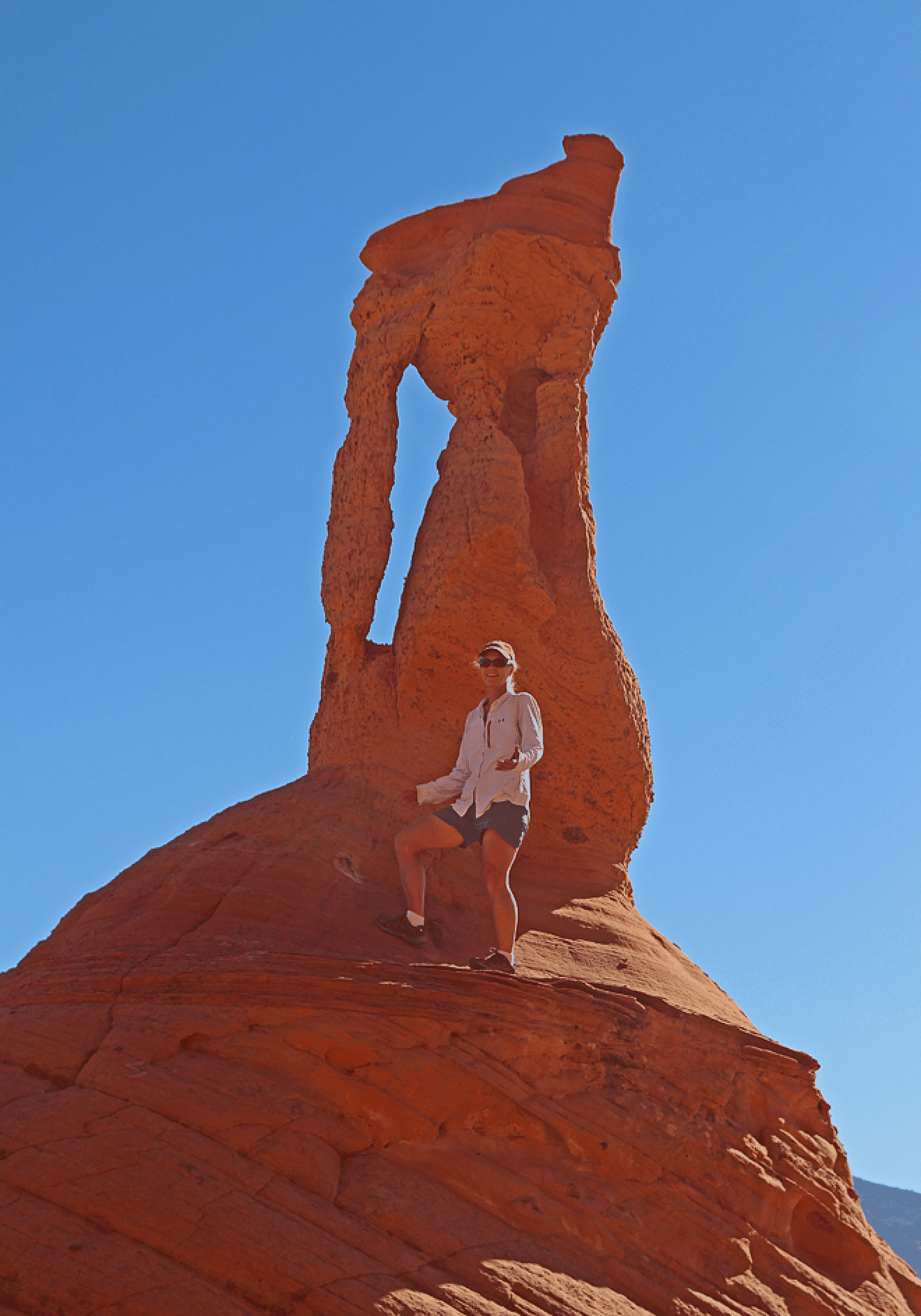
Katie on Redbud Spine, with Cummings Mesa behind. The layer of red pebbles that cover the Spine is Carmel sandstone.
A view of both Belvedere (left) and Faraway (right and below center; well lower than Belvedere) Arches from the Redbud Spine.
Faraway Arch viewed from our stopping point on the Spine.
Belvedere Arch (aka Vreeland 8-21), viewed from high on Redbud Spine.
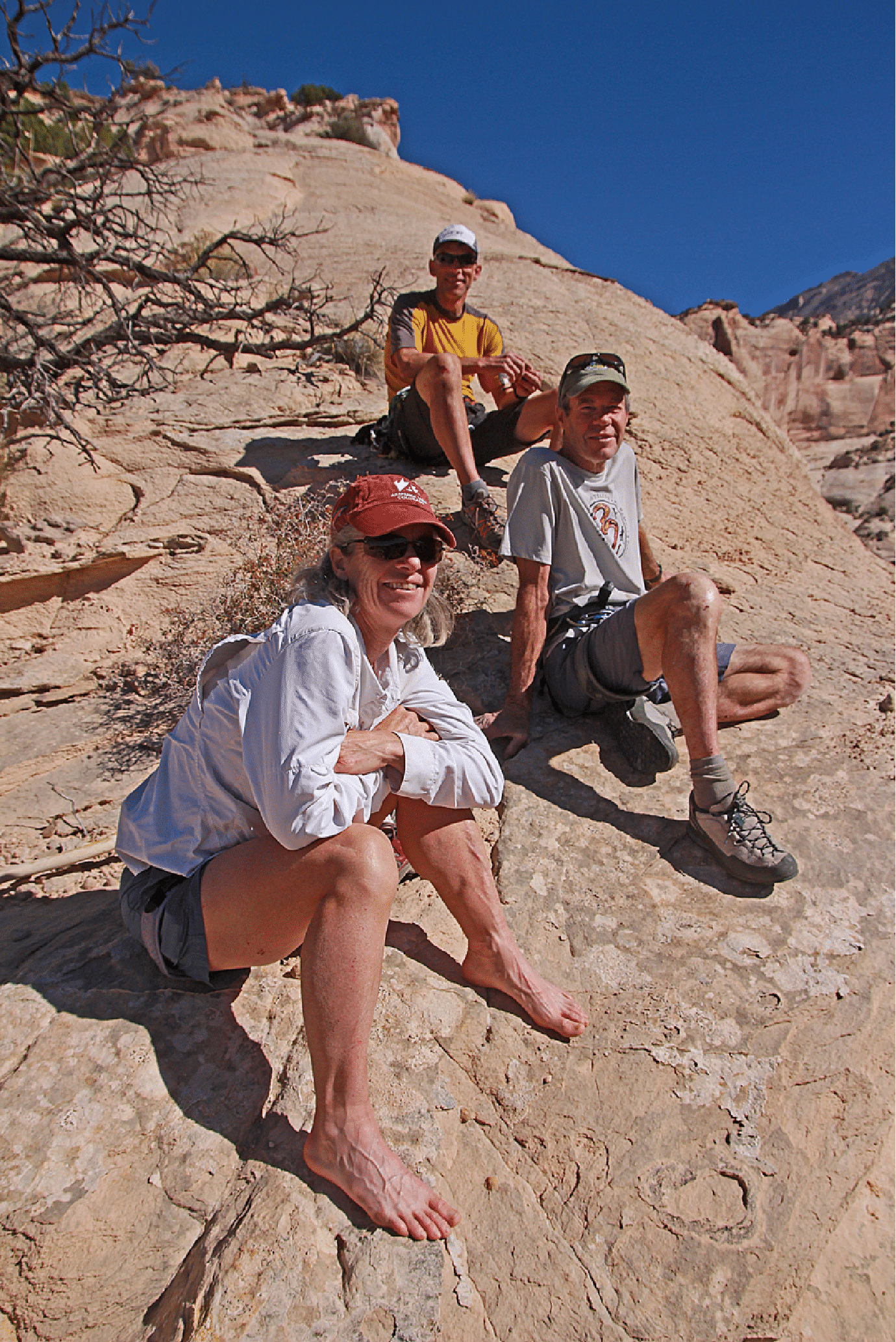
Katie, Bill, and Jim at our stopping point on the Redbud Spine.
Jim, Bill, Katie as we descended the Spine. Lake Powell visible about Jim’s head.
Day Three: Escaping Aztec Creek
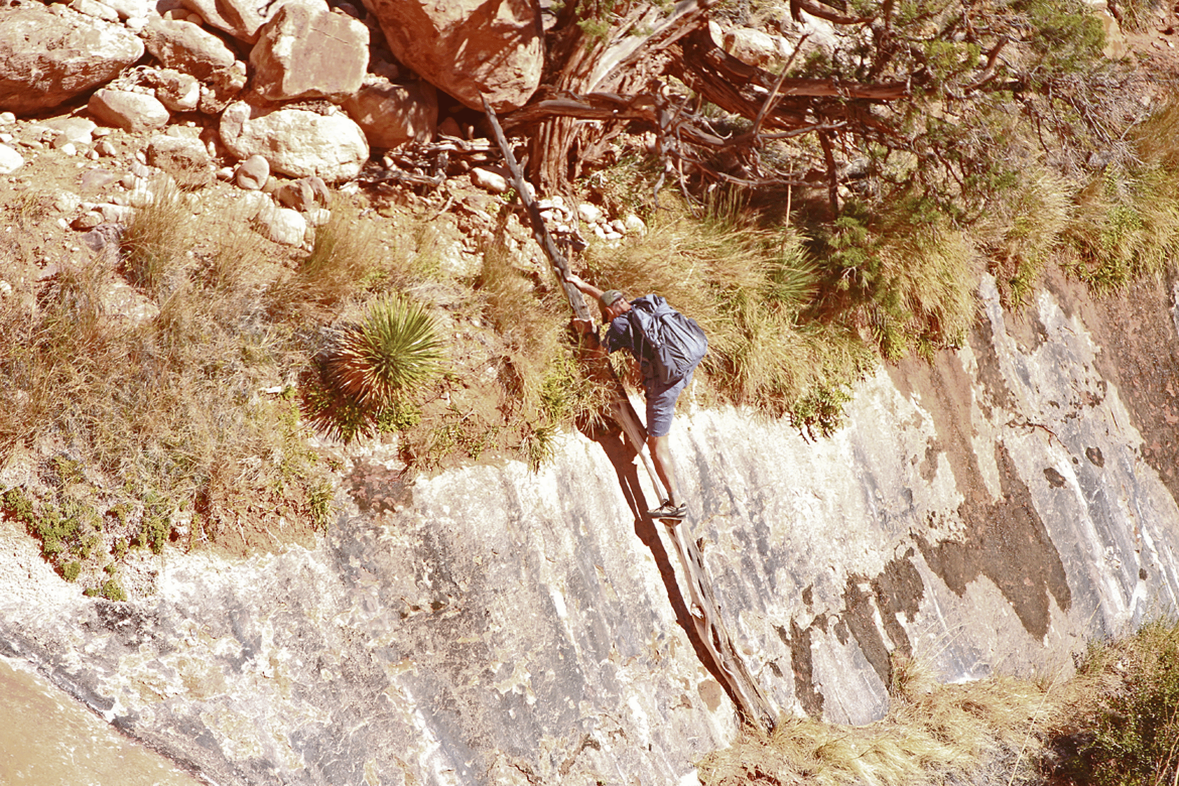
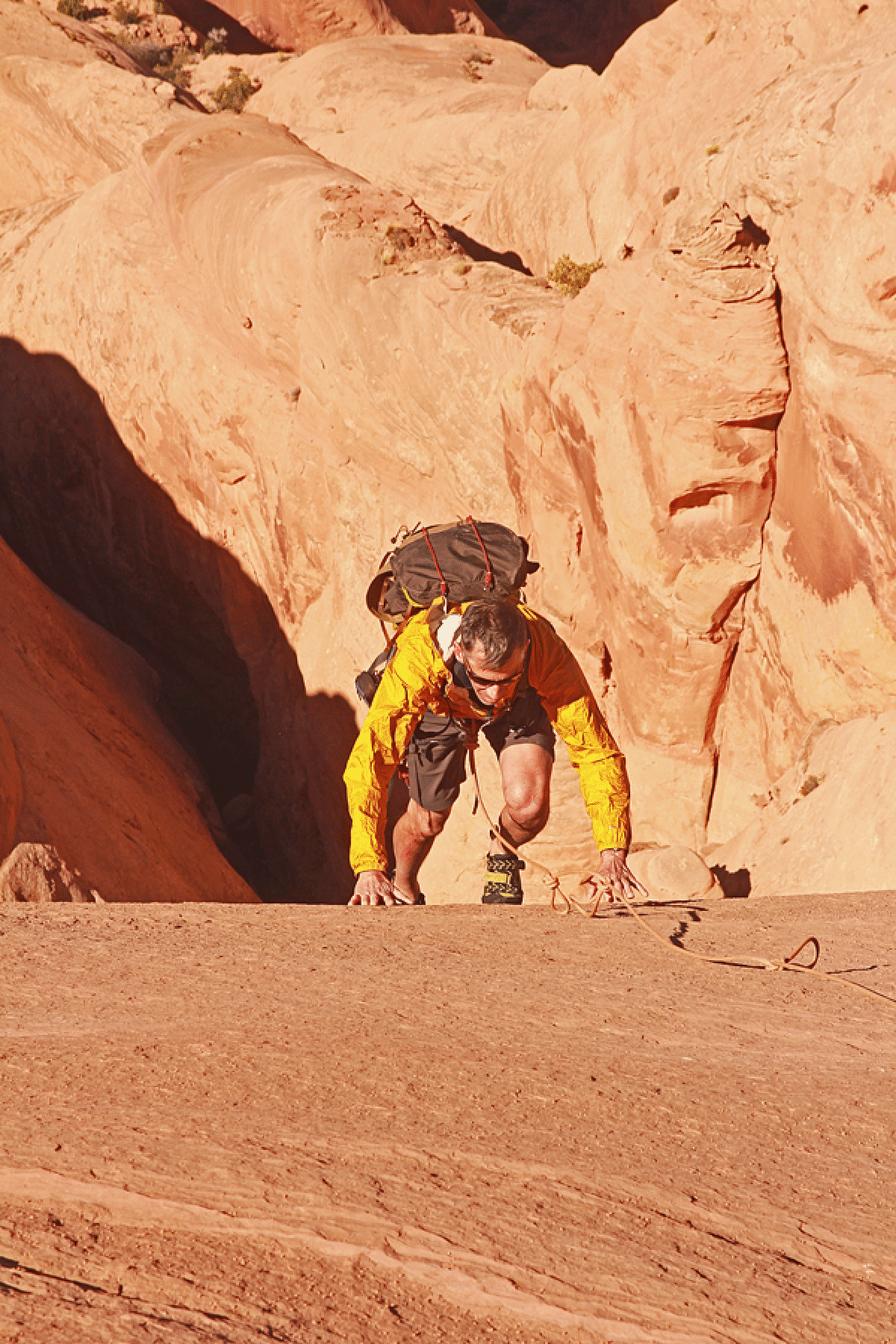
Bill on a critical log (a “cowboy ladder”) that has been there for many years.
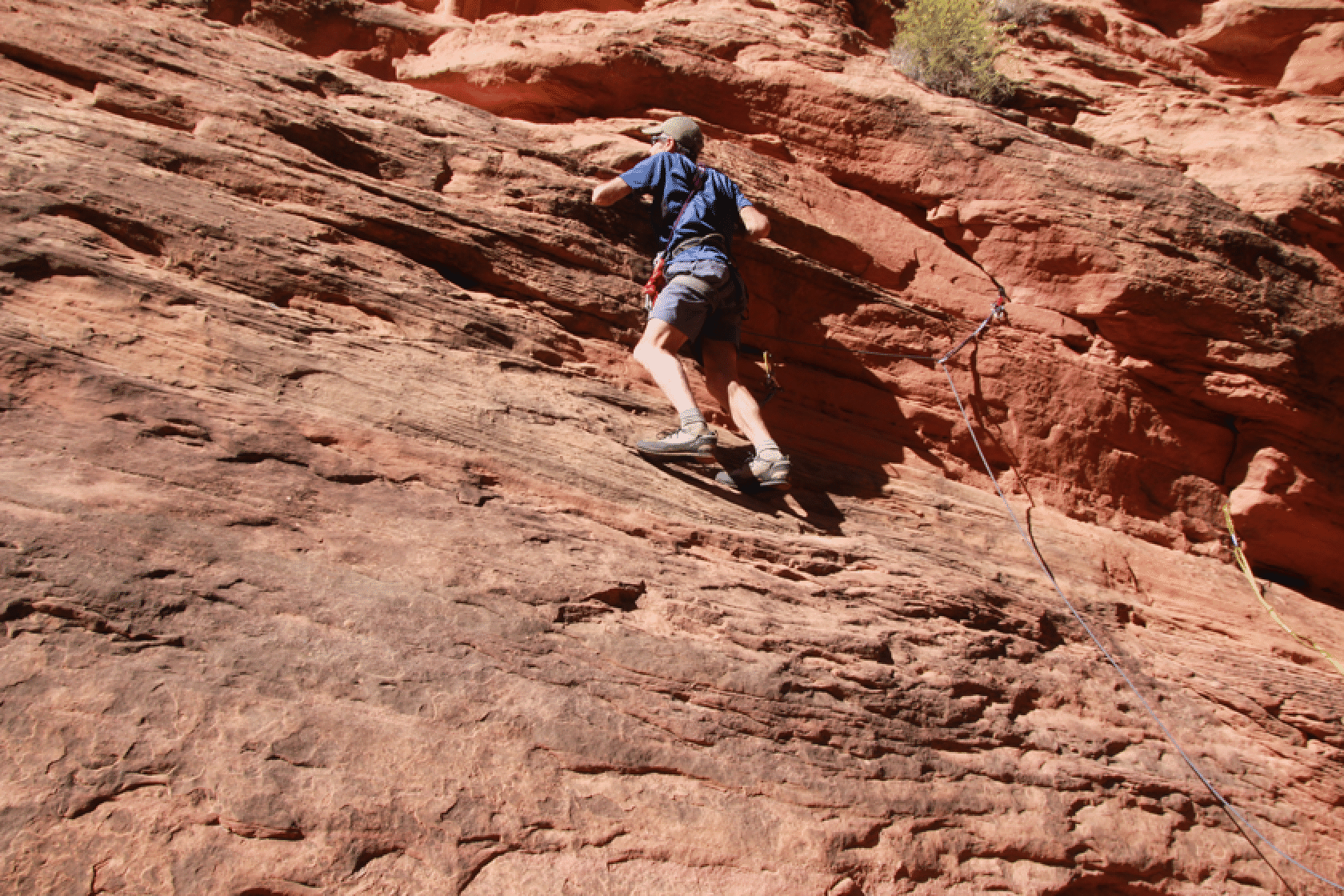
Bill leading a route that got us to easy ground and up to the Navajo domes. This was harder than it looked.
On the domes.
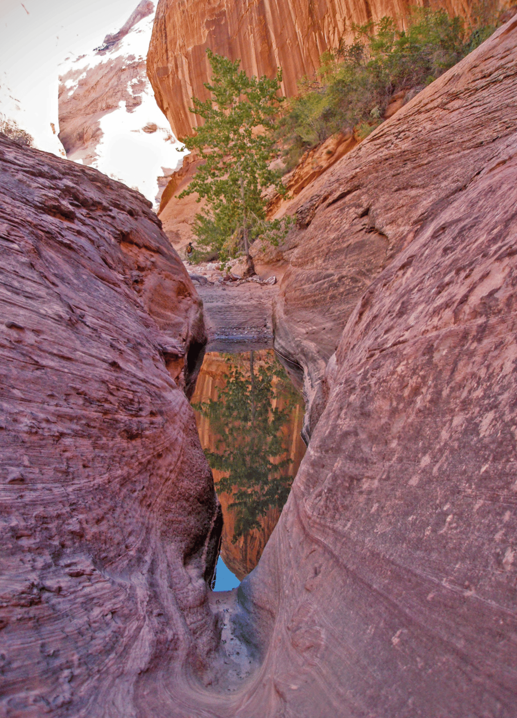
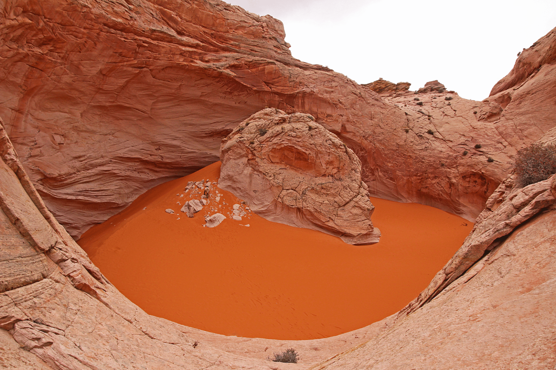
Navajo sandstone pool. Photo by Jim Illg.
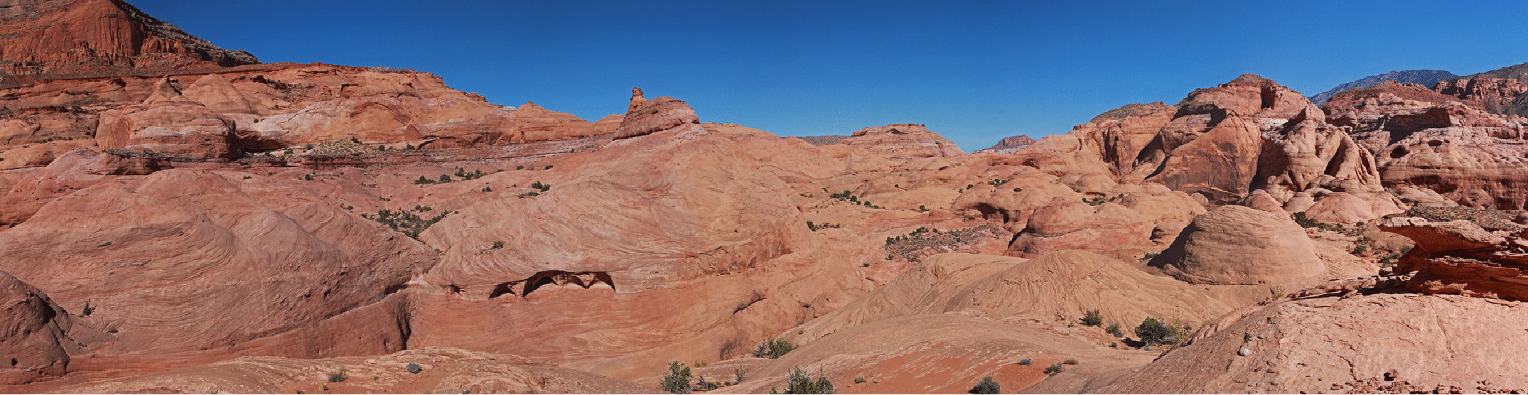
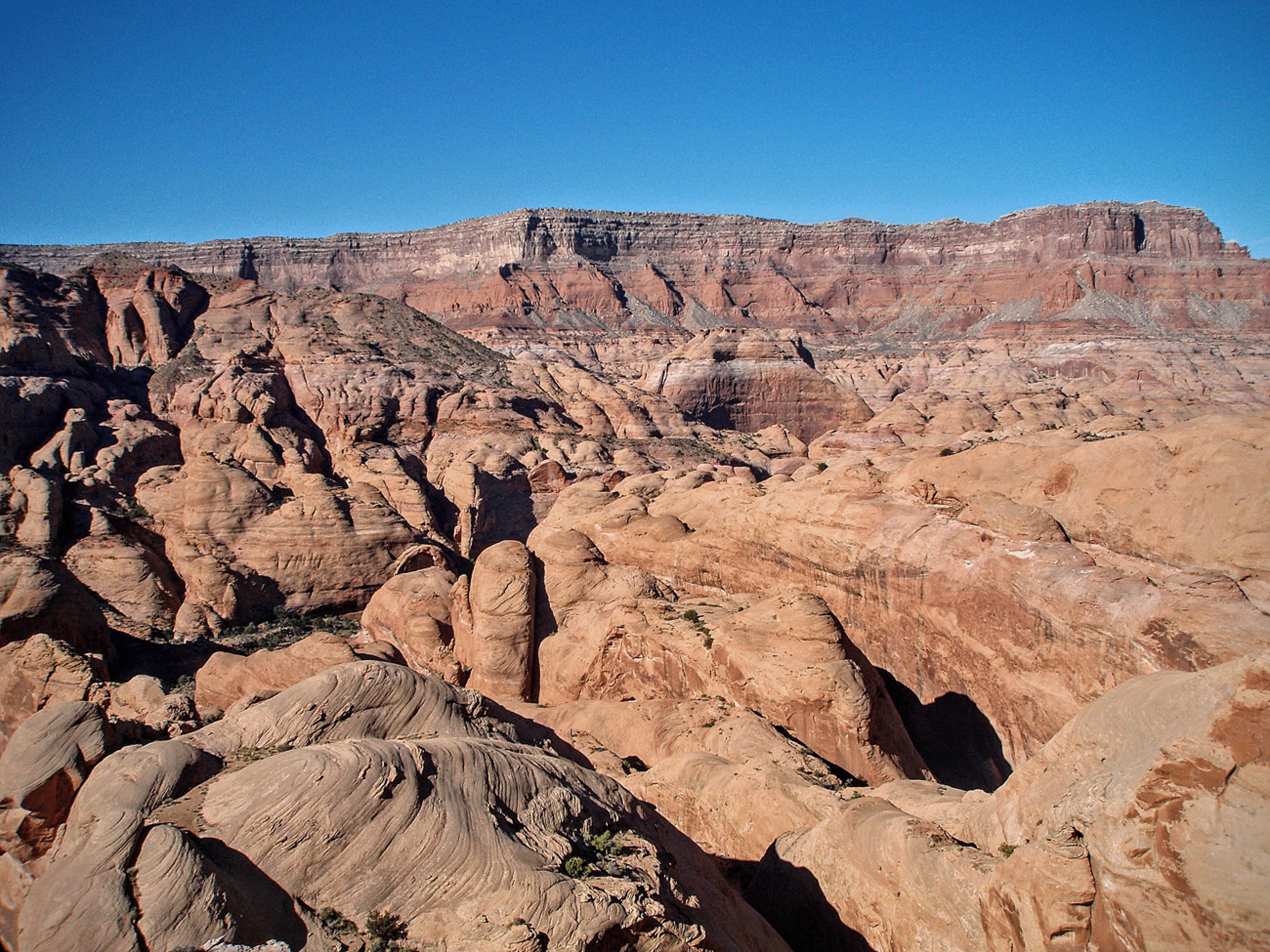
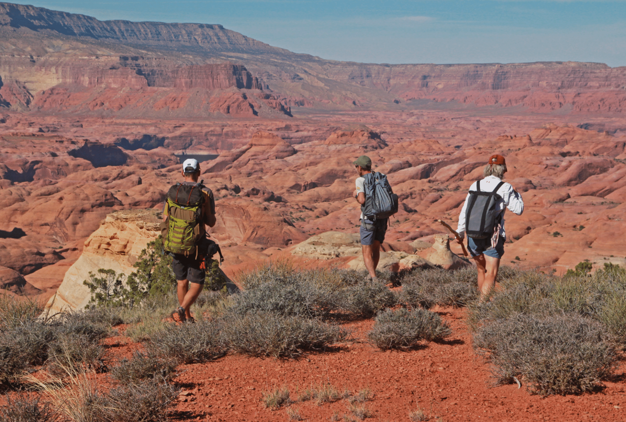
A panorama of the spectacular Navajo benchlands above Aztec Creek.
Stan. Photo by Jim Illg.
Jim and Bill
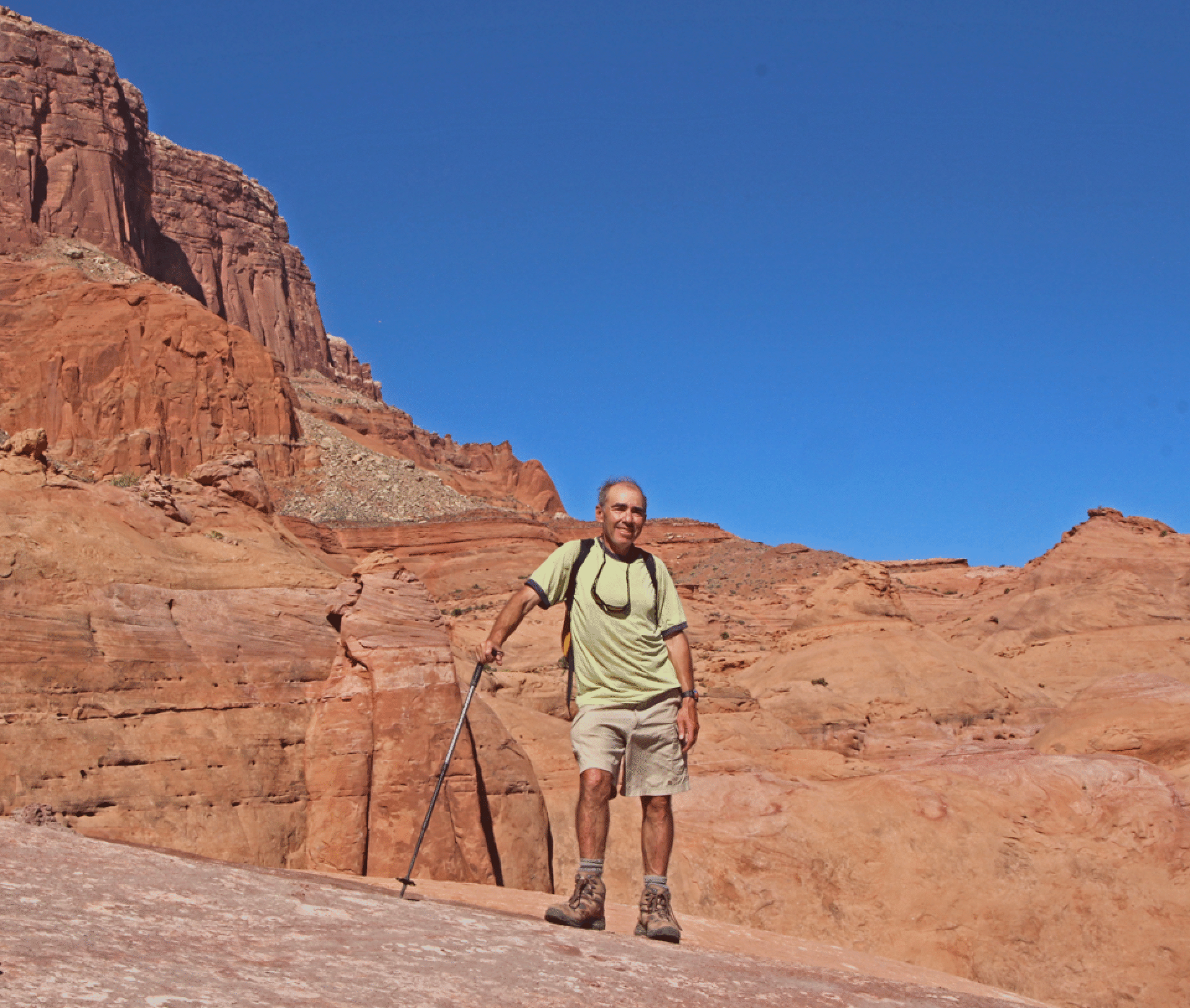
Bill Briggs.
Day Four: Hourglass
Our exit from Aztec was on a very steep slab with some Moqui steps, but it was difficult to gain the first six feet, as shown in the picture below.
The center of this image shows carved Moqui steps: very close together and shallow. But there was no easy way to leave the ground. It seems certain that the starting point was higher in the old days.
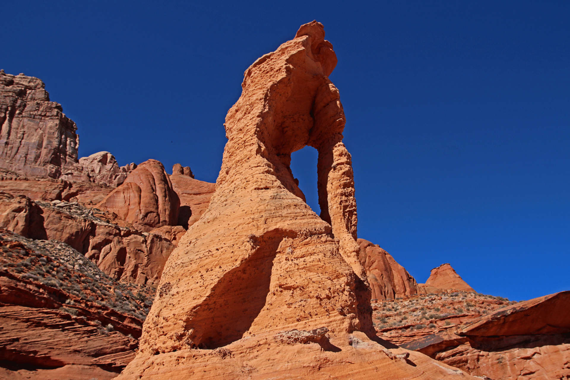
Our first sighting of the Hourglass was this view.
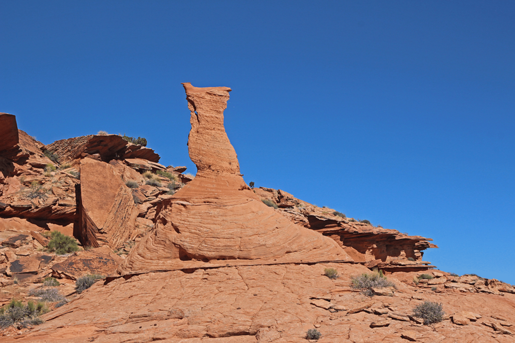
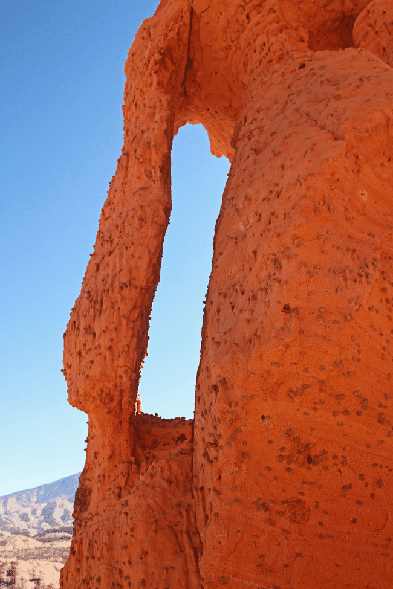
The Hourglass.
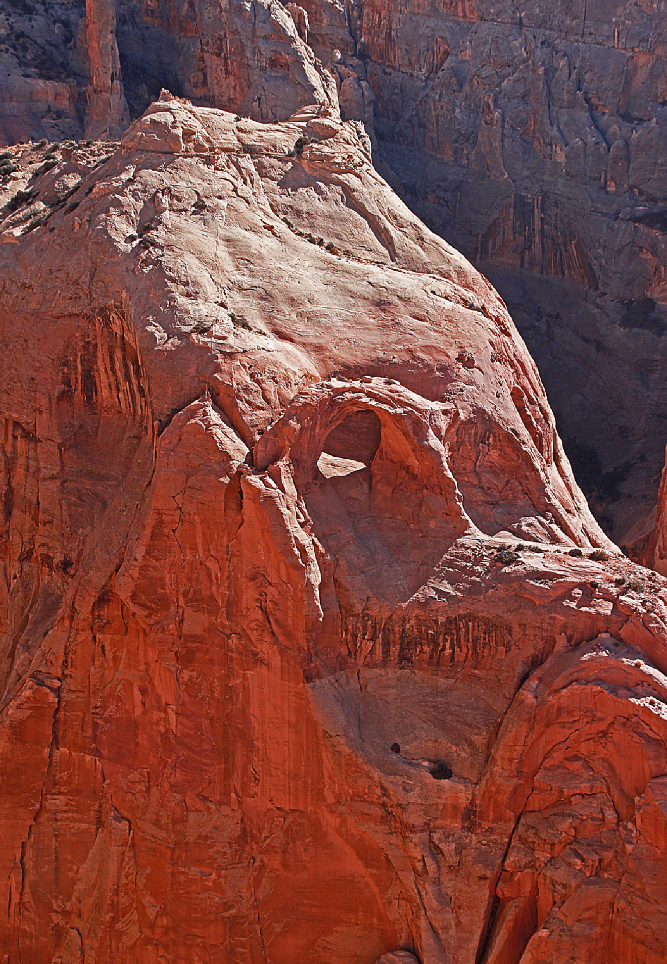
Redbud Spine just left of center: topped with red Carmel sandstone. Our route up is very close to the center of the image. Belvedere Arch is just barely visible (left of center), below and left of a steep and high tower that is shaded, with a treed gully to the right.
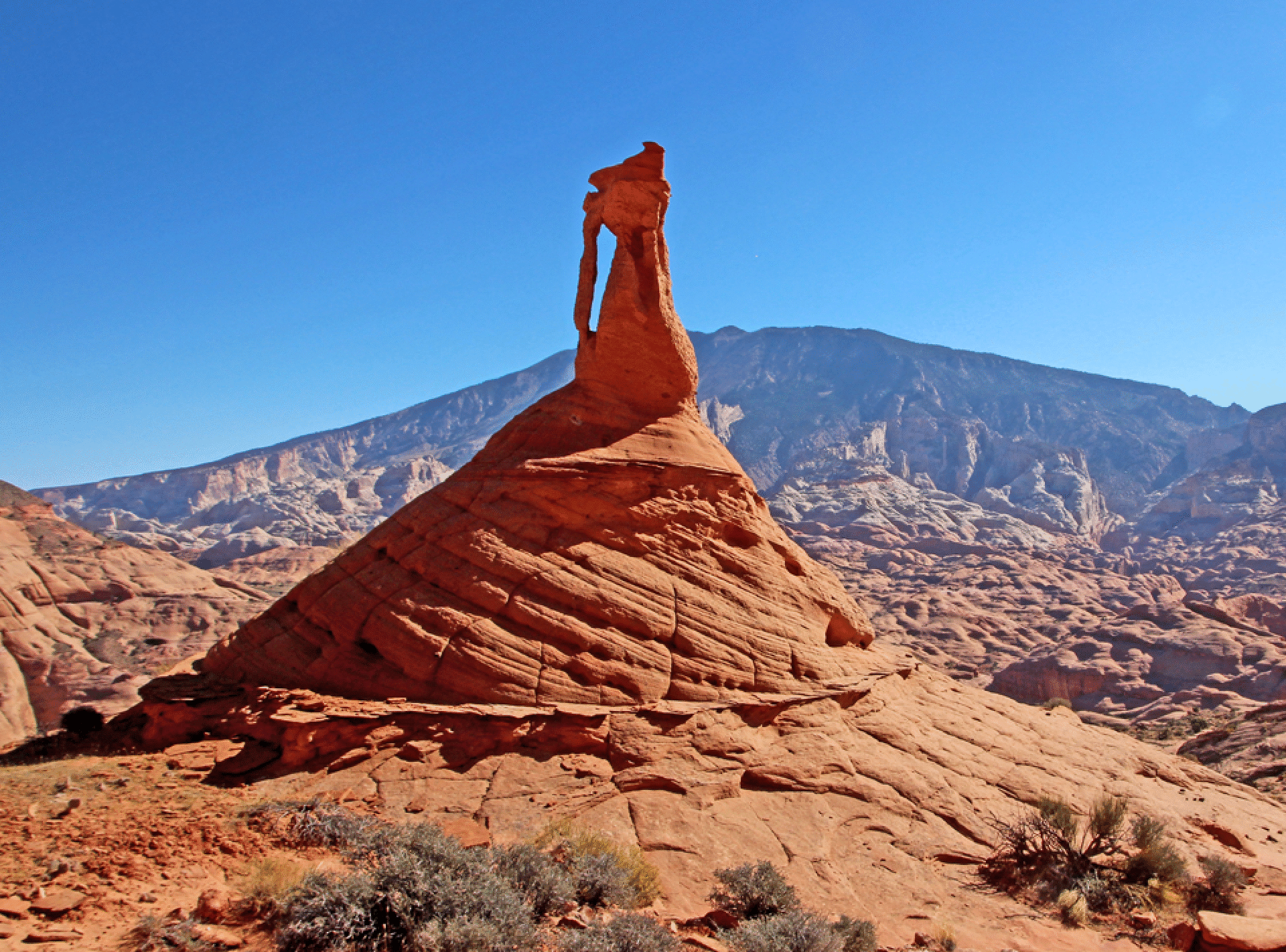
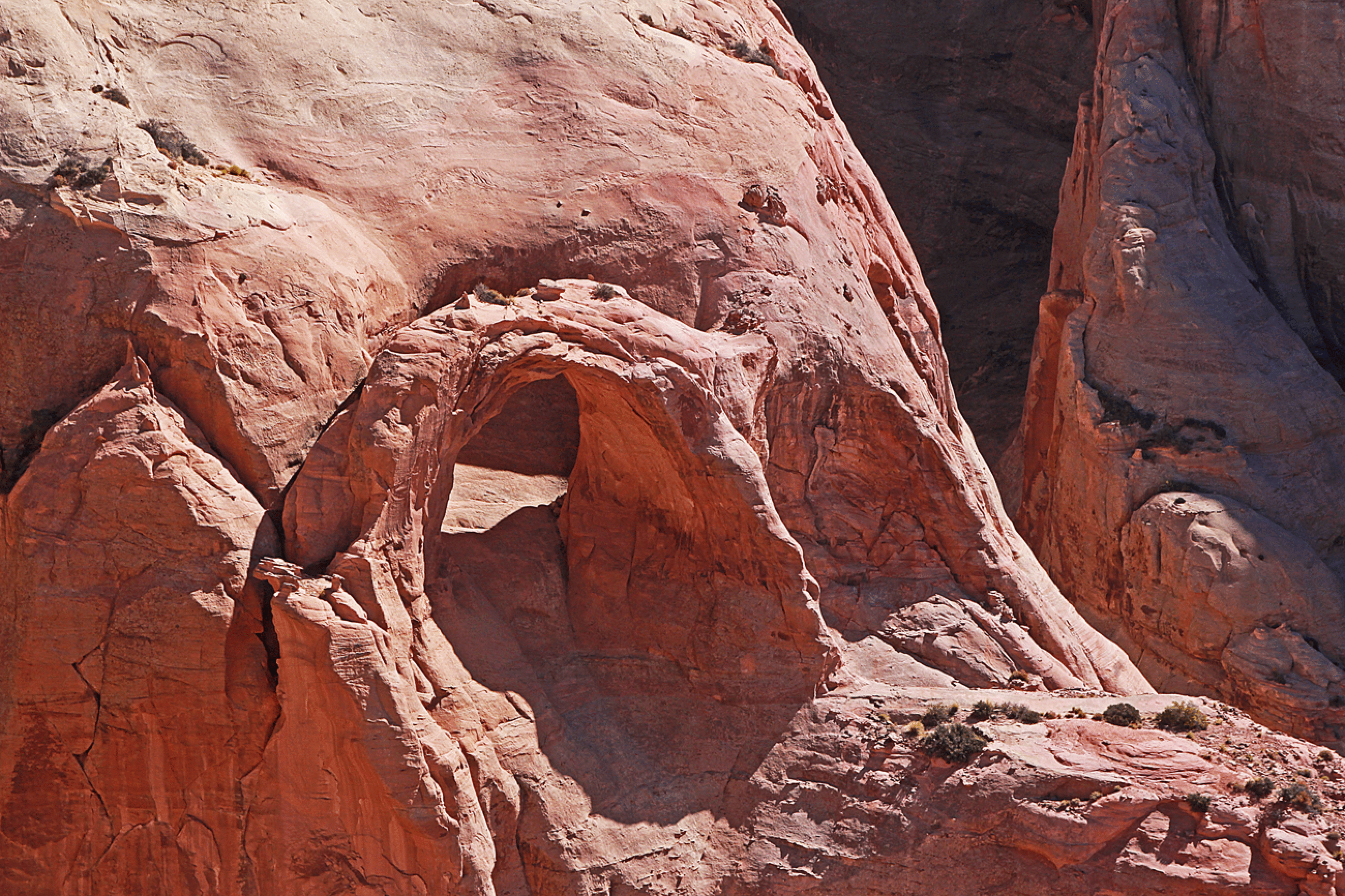
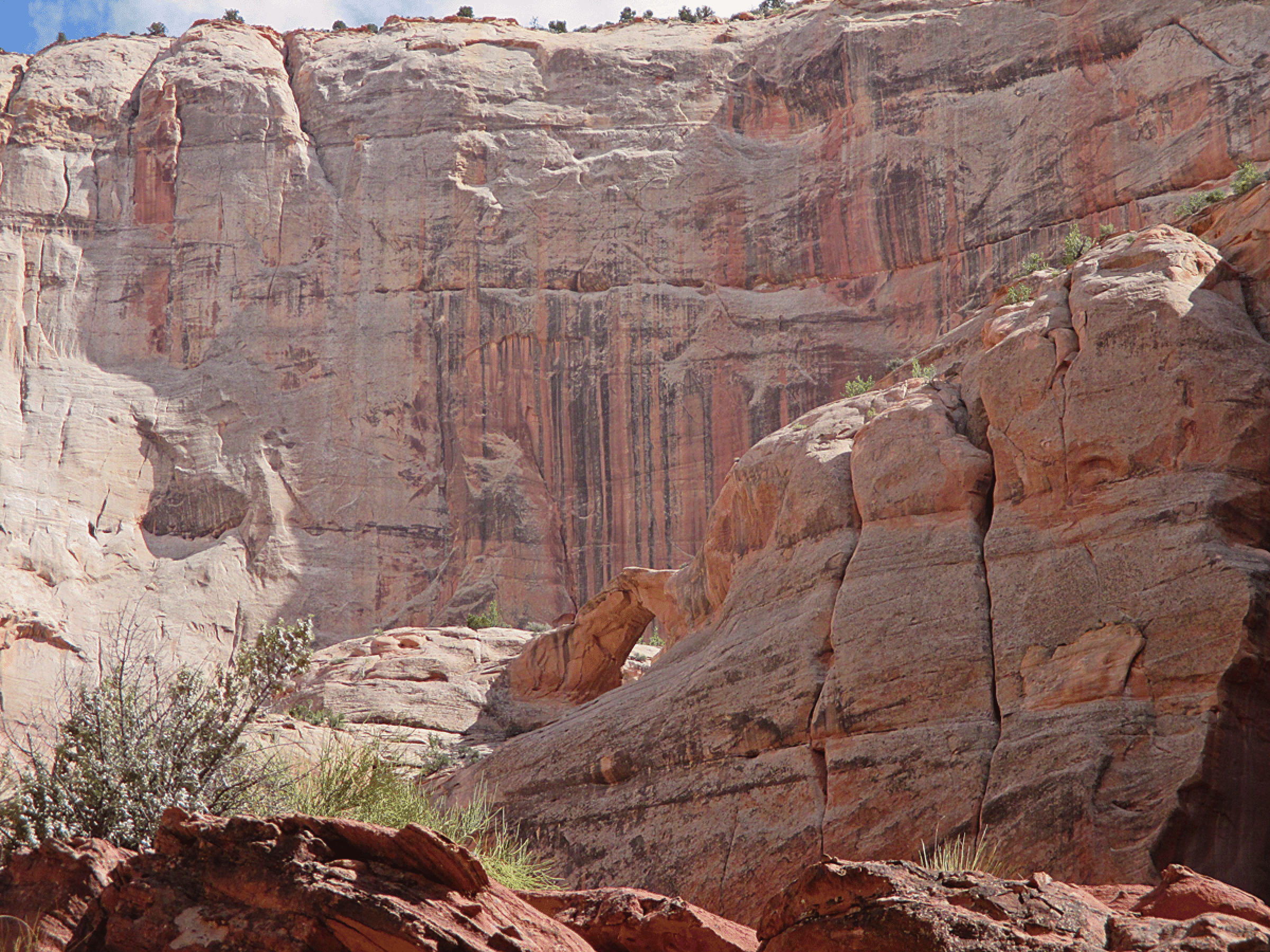
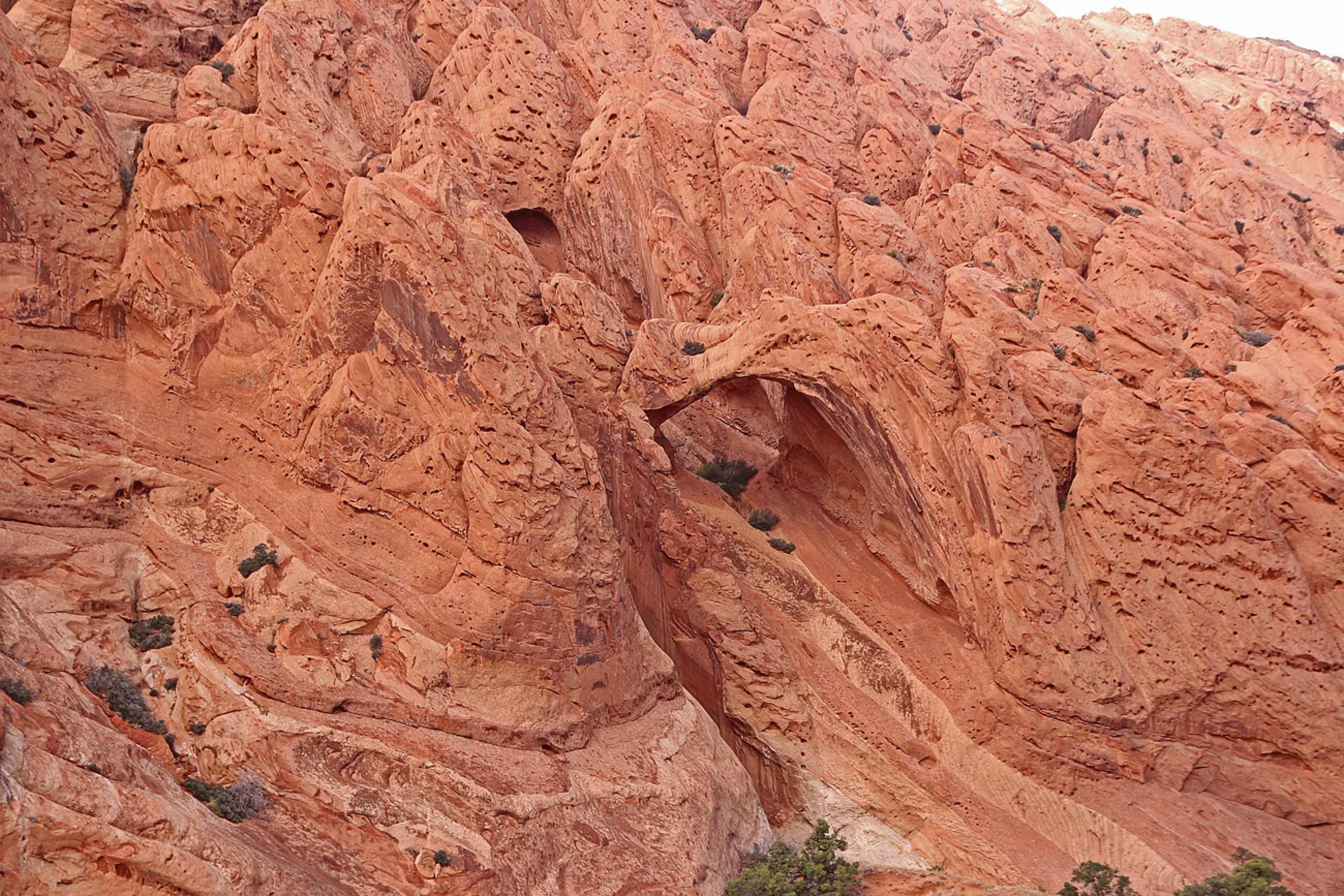
The Hourglass: A remarkable feature (an “abandoned arch”) on the Navajo bench above the south side of Aztec Creek, near the Aztec–Cliff confluence. One can exit Aztec Creek within a few hundred yards of the confluence. Arches are often judged for Photographic Potential. This one is a 10. But its width is only one foot. So it might be a record for the ratio of photo potential to width!
A closeup showing the dense iron concretions.
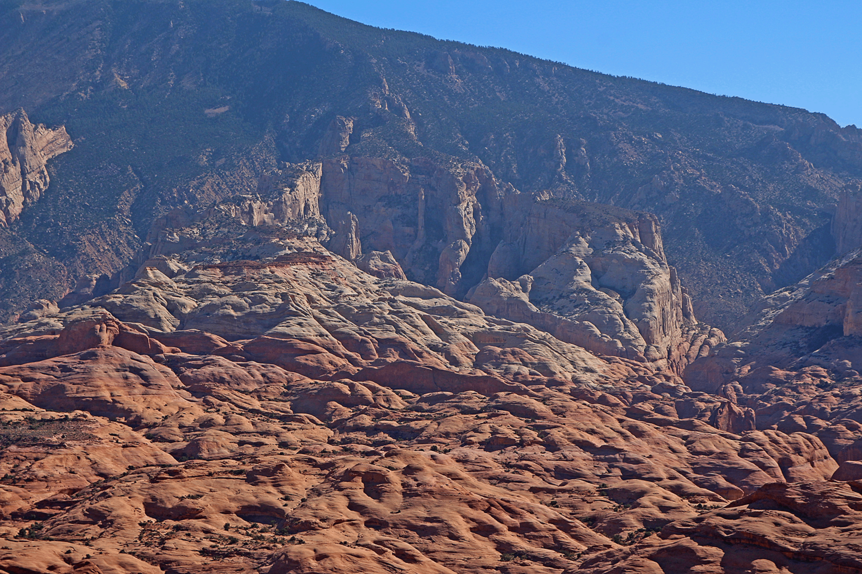
Looking back to the Carmel, Entrada, and Romana layers. A layer of Morrison is at the top of Cummings Mesa; I believe the layers here are as identified below. It is possible that the upper layer of the Navajo sandstone here are in fact Page Sandstone, but the two are difficult to distinguish.

Day Five: Return to Page
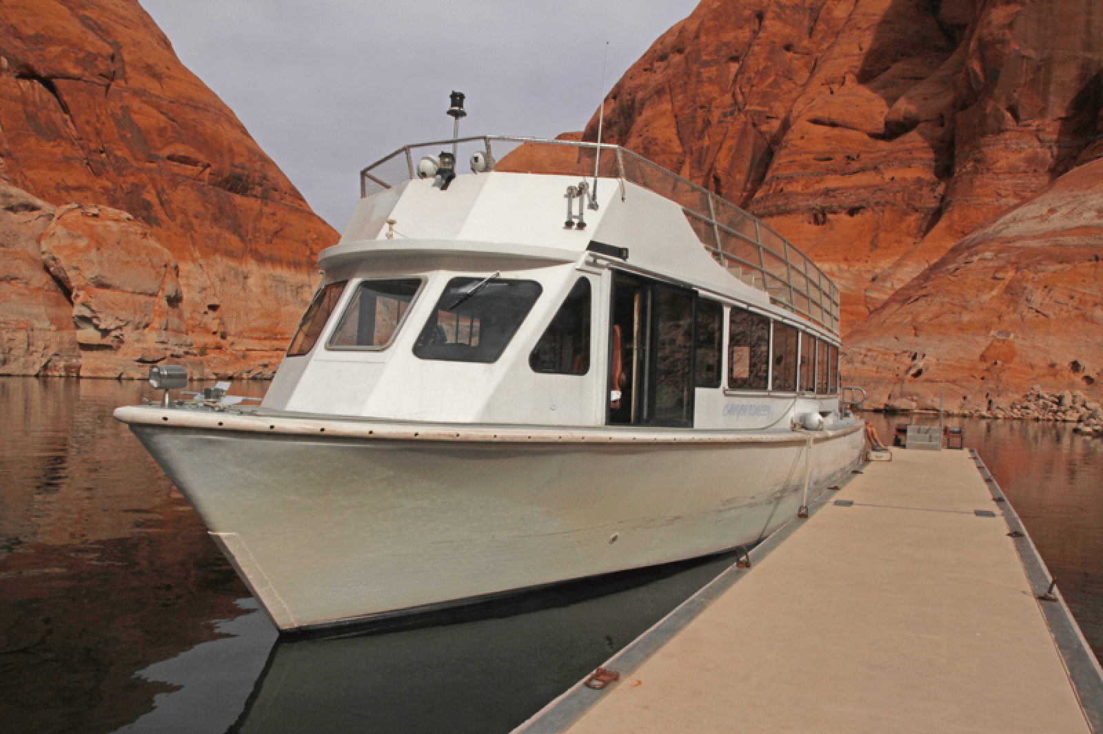
We returned to Page on this tourist boat., which carried 41 passengers and crew of 3 back (including us).
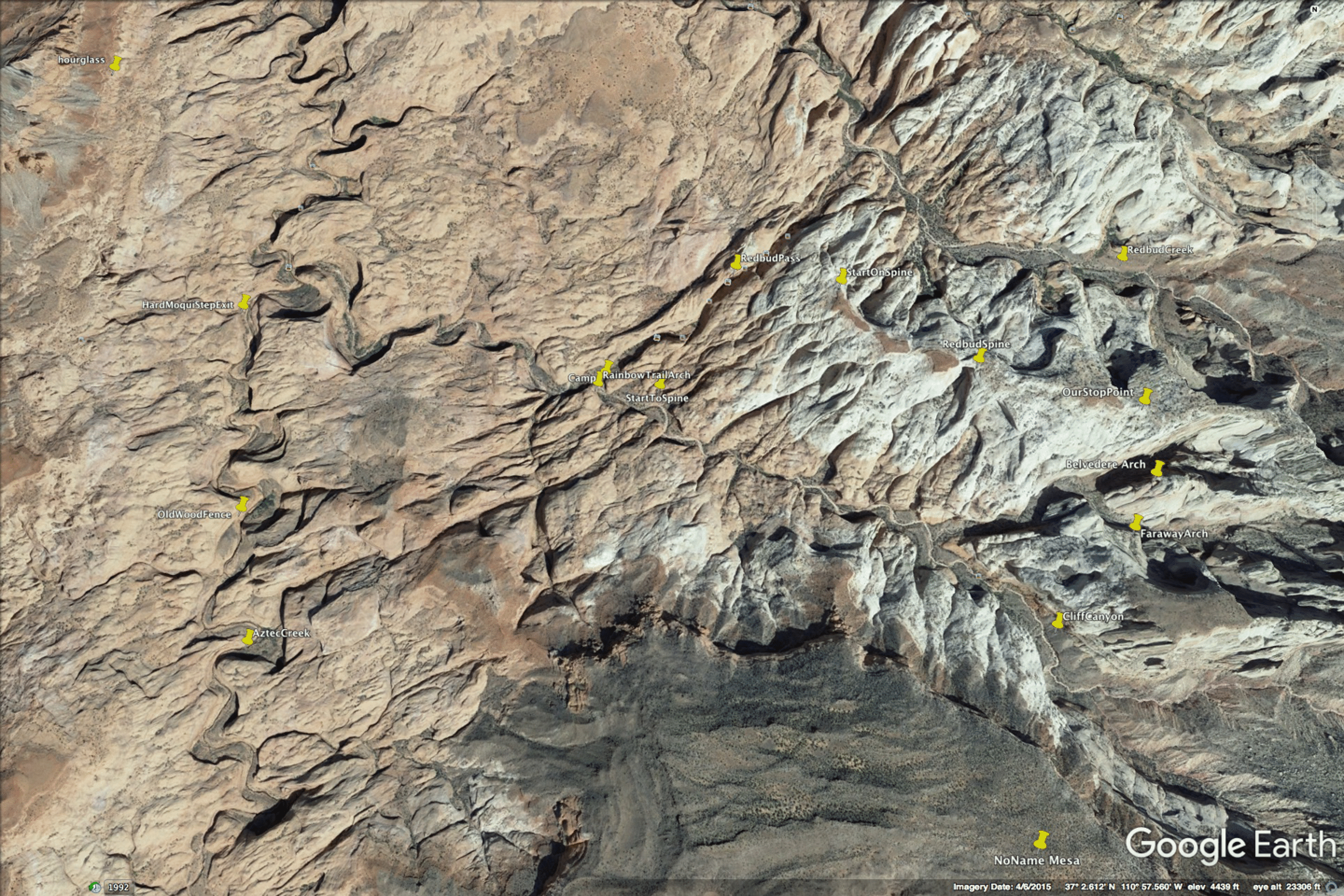
Google Earth View of the important points.
Below are two photos by Dave Irwin from the May 2017 trip. In the first, Bill Briggs ascends a route that looked promising, but above his position the cracks closed up and offered no good climbing. The second image below is a view of Faraway Arch from the ground.
Dave Irwin leading in Belvedere Canyon, as the group tried to get above and behind Belvedere Arch. They surmounted this obstacle but were stopped shortly thereafter. Photo by Jim Illg.
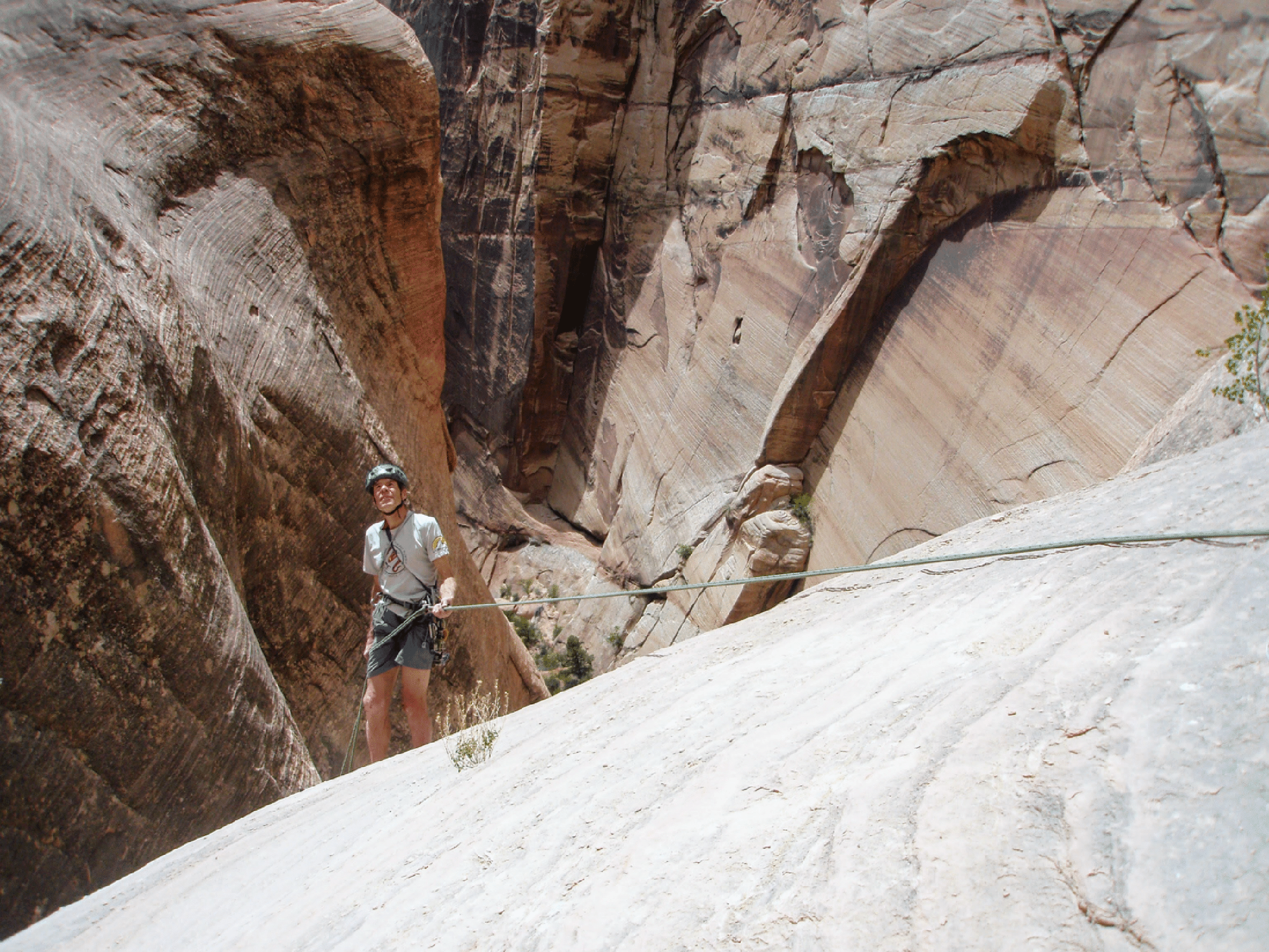
Bill rappelling in Belvedere Canyon. This image shows well how everything here is protected by large steep cliffs. Photo by Jim Illg.
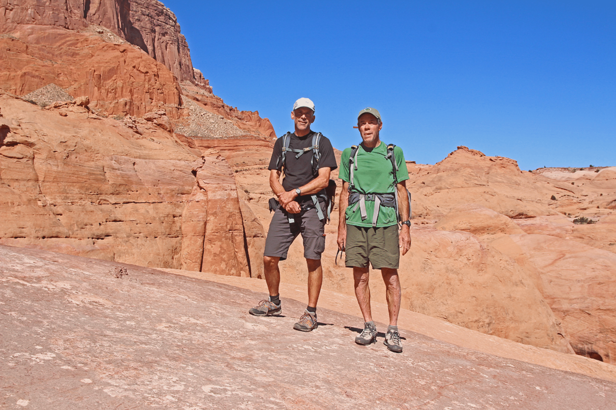
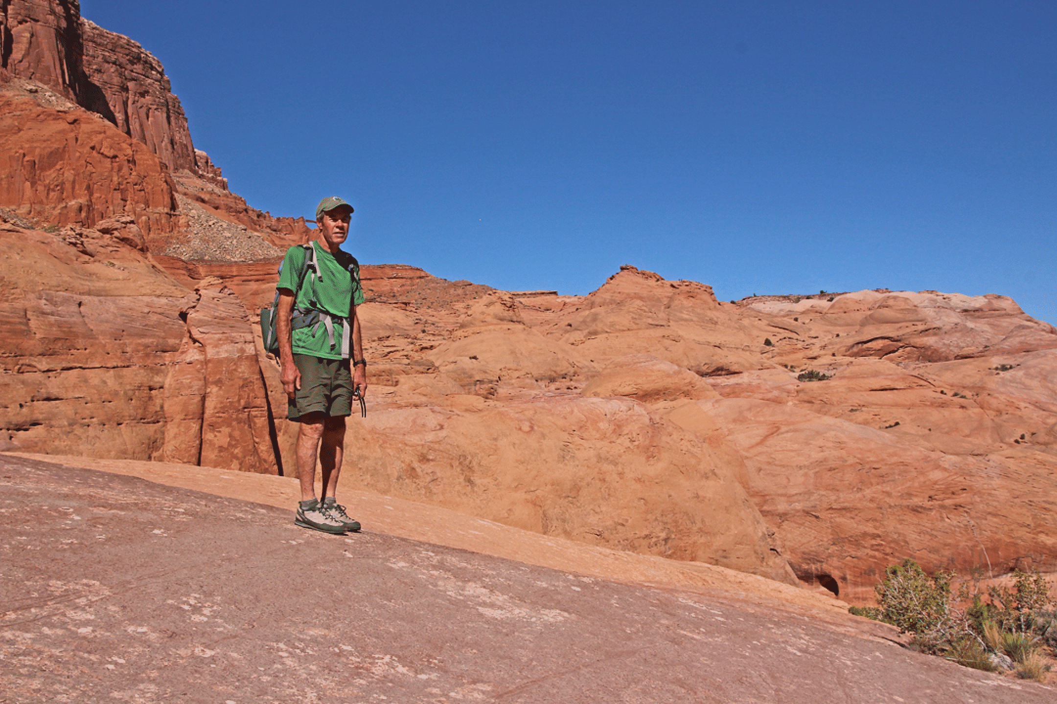
Days Six and Seve: Cosmic Ashtray and Muley Twist
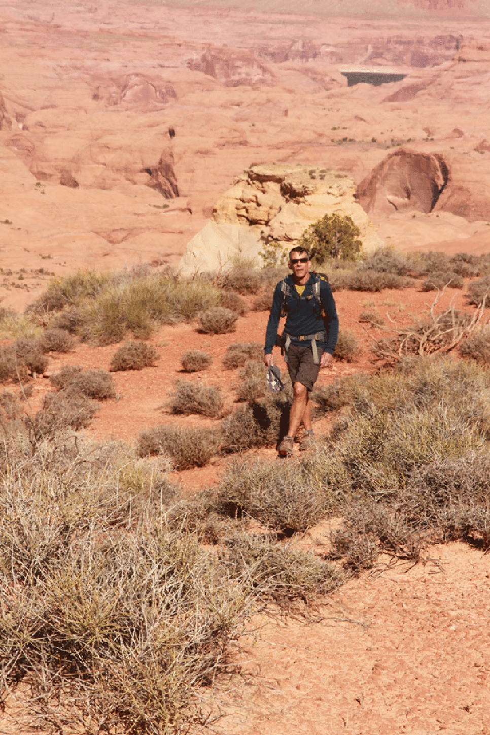
Katie and I took the Cottonwood Road to Escalante and hiked with Bill Wolverton and three others to the Cosmic Ashtray on Monday, and then the full Upper Muley Twist trail (counterclockwise) on Tuesday.
The Cosmic Ashtray, out past the end of the Sheffield Road.
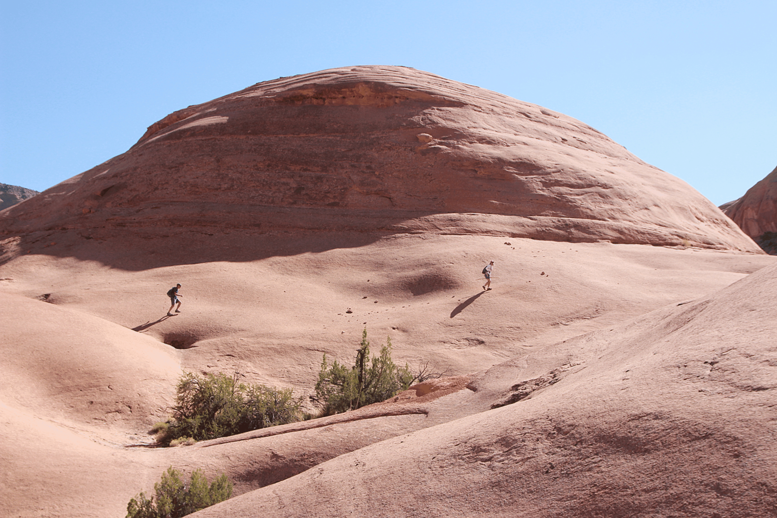
Before hitting the Cosmic Ashtray we climbed and descended a very nice dome of beautiful Navajo sandstone. Carol Petrelli in pink, Deborah Davis behind.
Saddle Arch and the amazing tilted Wingate of Muley Twist.
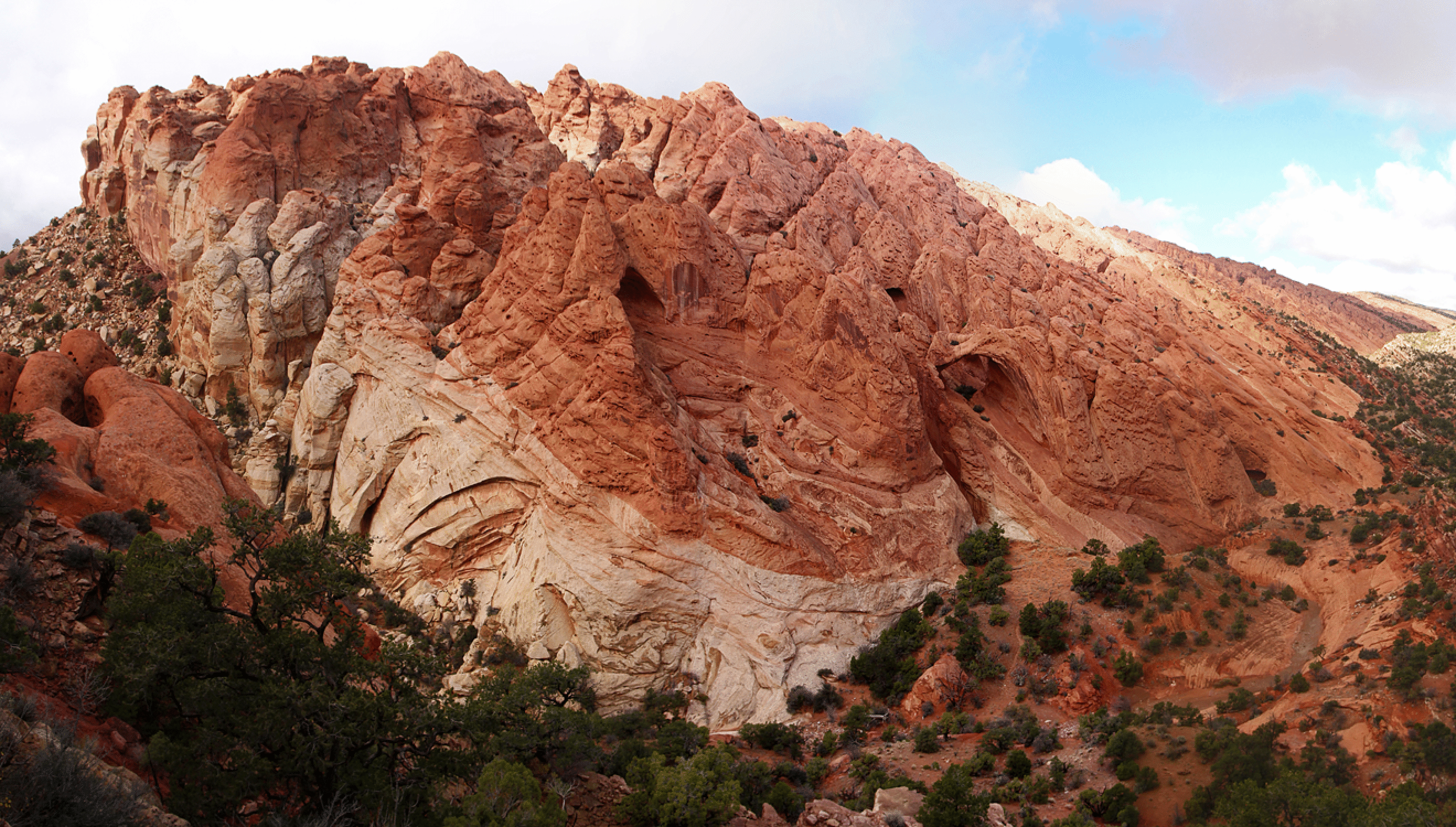
The lobe of Wingate Sandstone containing Saddle Arch. This is a panorama made from four images.