Mt. Bryce, Day Two: Close to Summit, then Long Descent to River Crossing
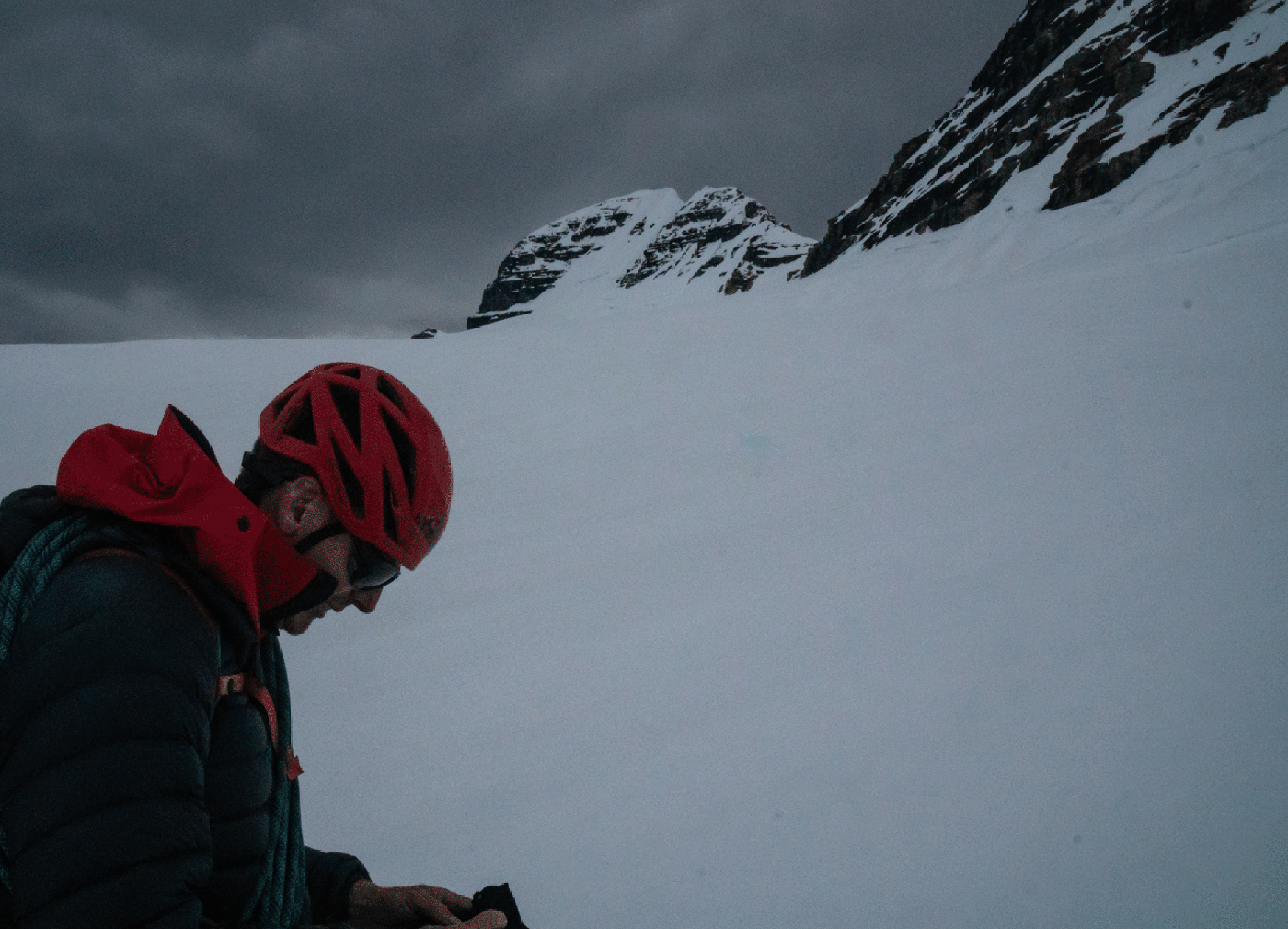
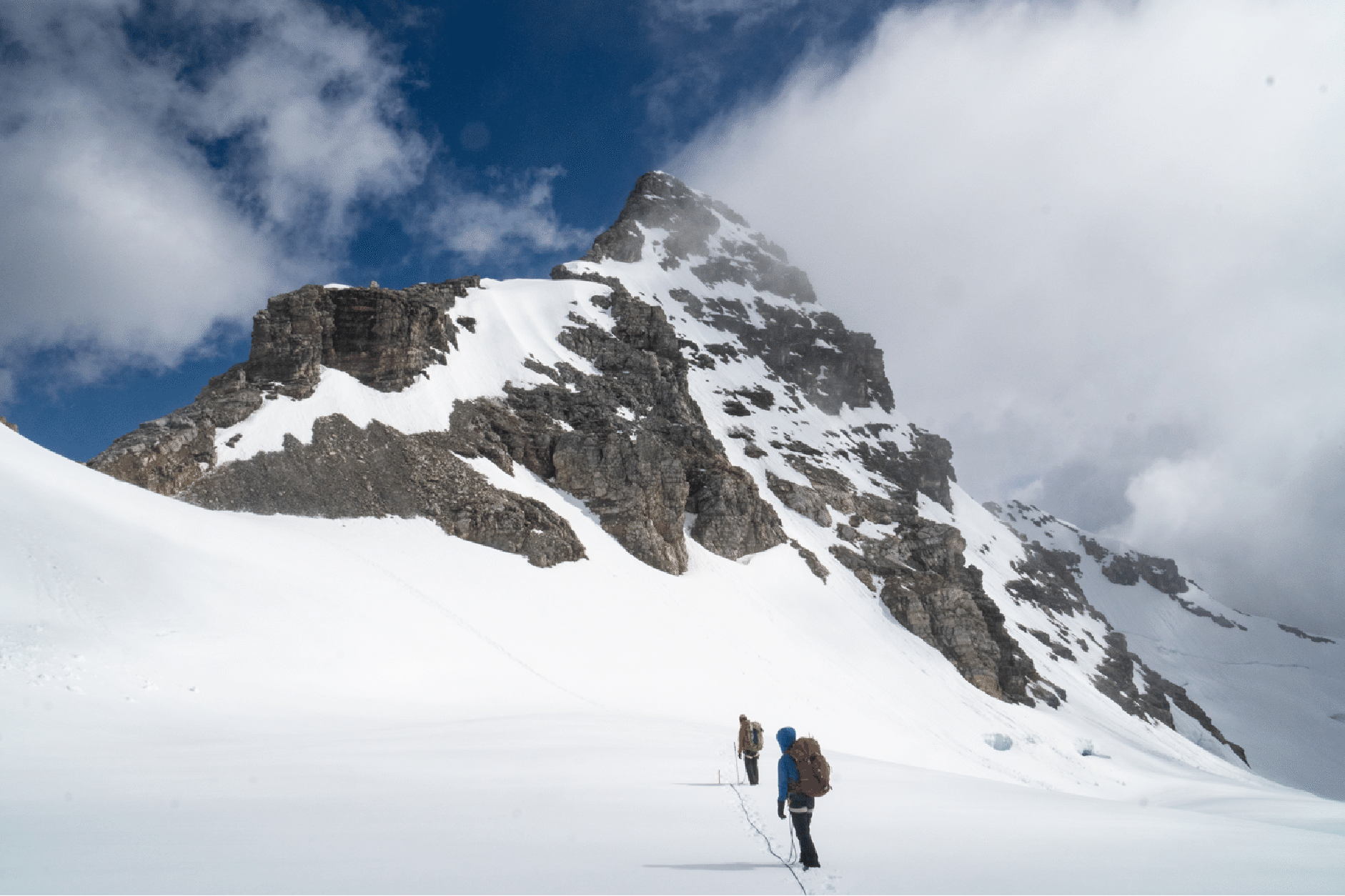
Approaching the col between main peak and Center Peak.
The col between the main peak (left) and the Center Peak. We had very high winds here.
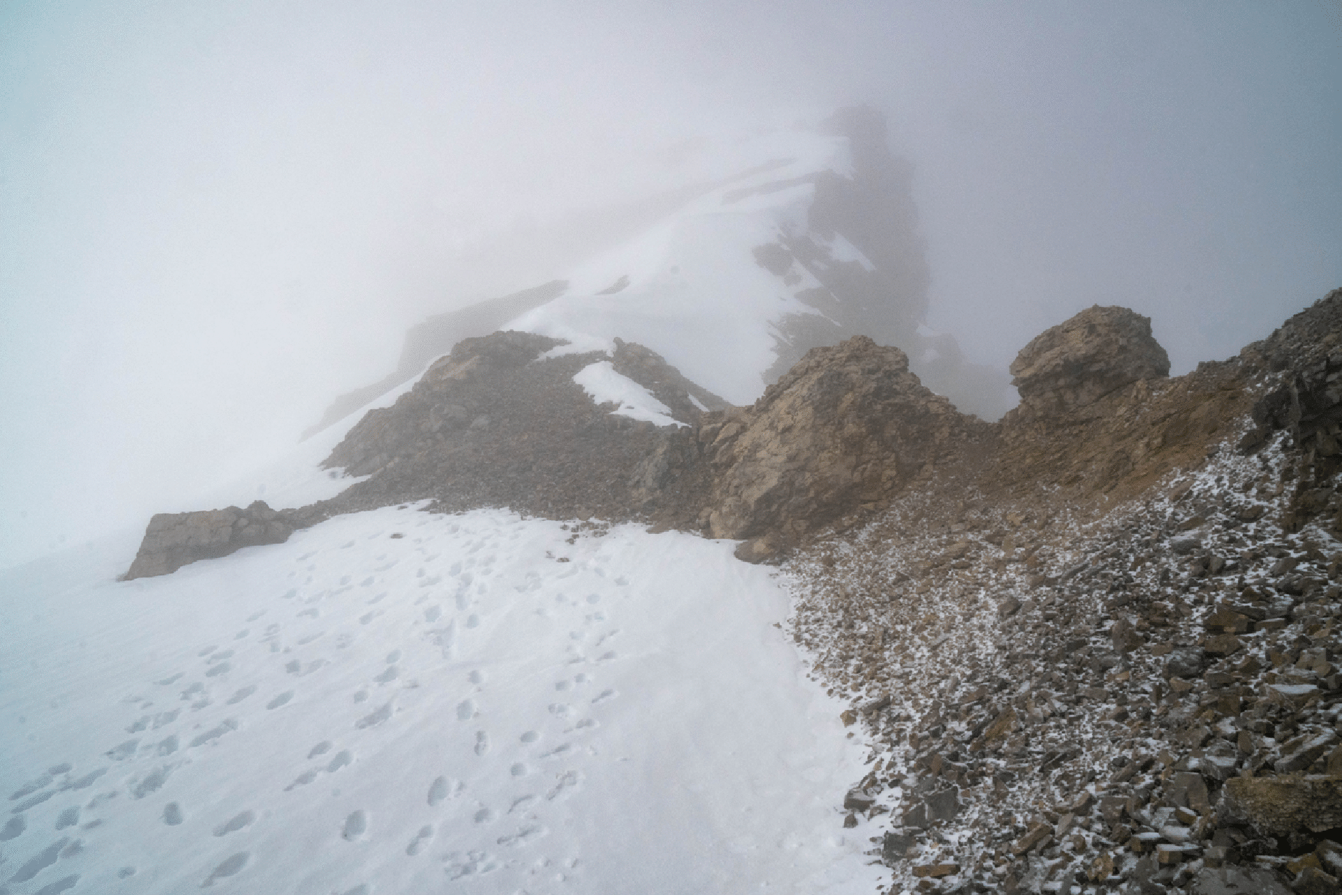
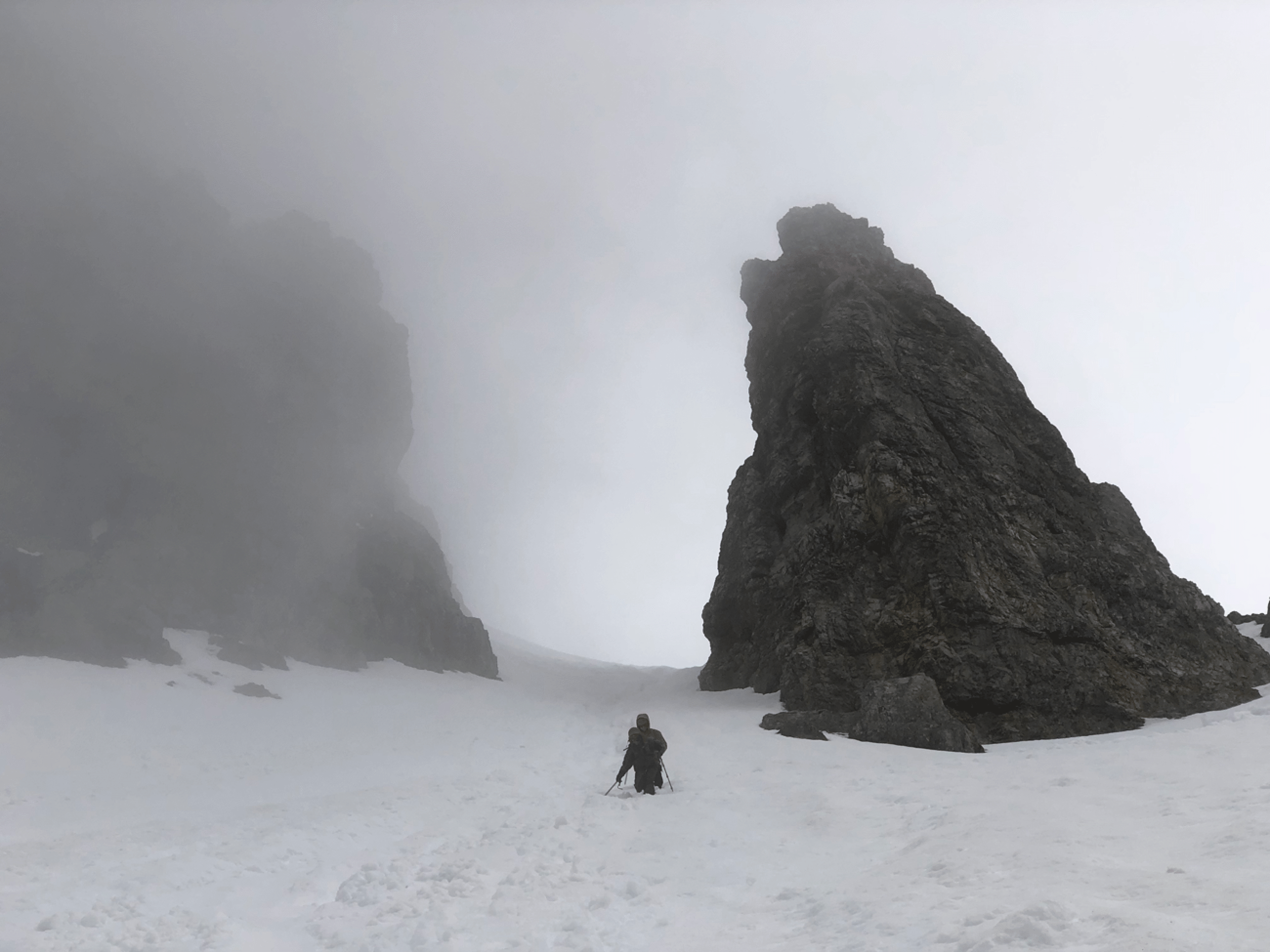
After leaving the col; Center Peak behind.
Tim starting on the descent of the South Glacier and South Face.
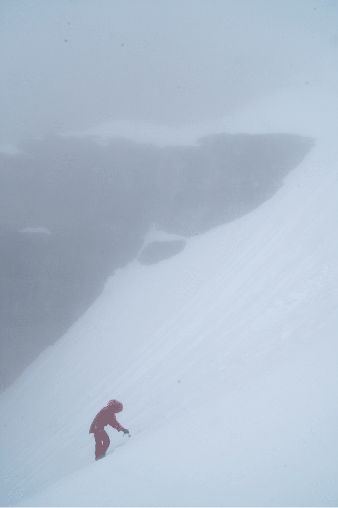
Start of descent; the mush was deep. (Photo by Tim McAllister.)
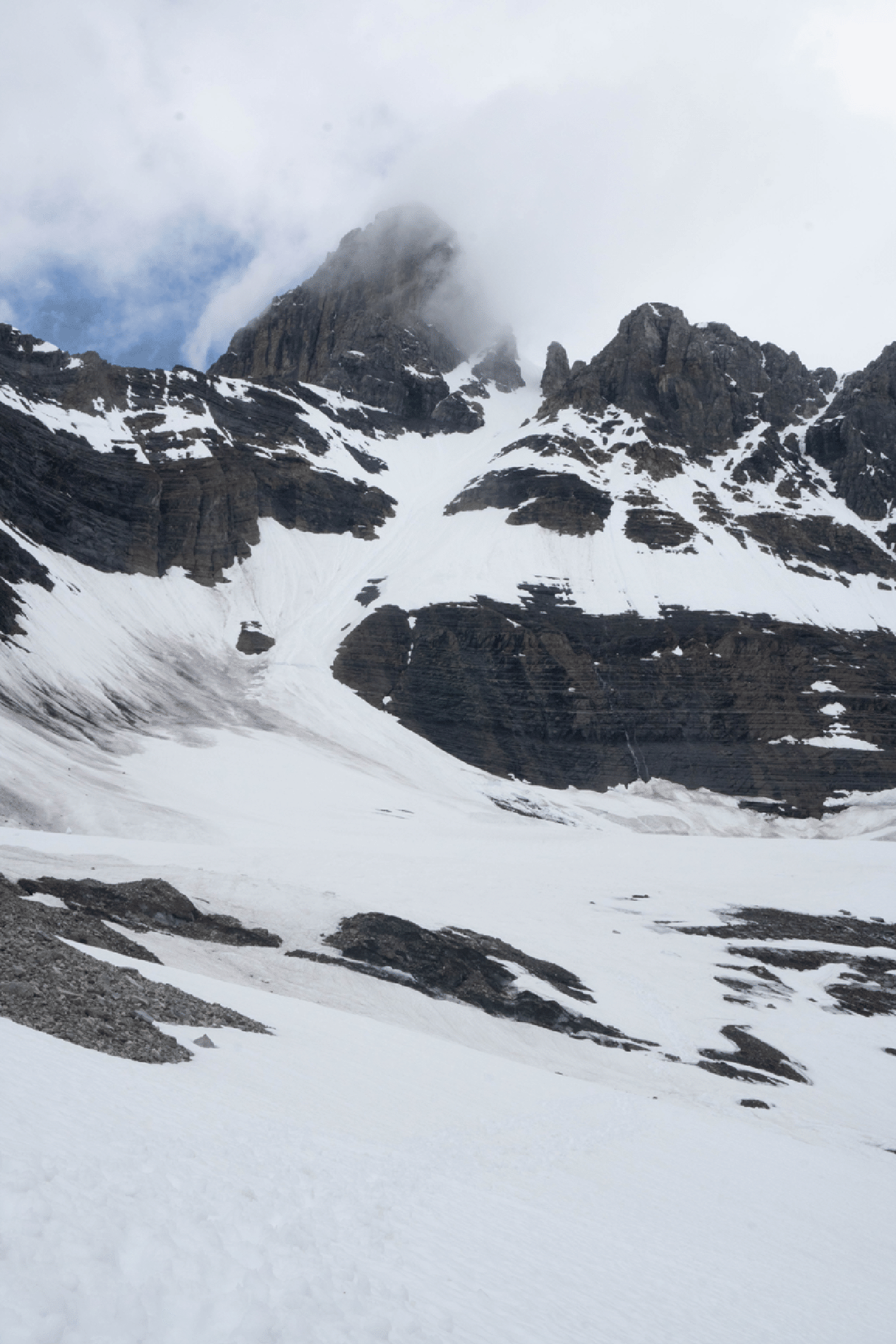
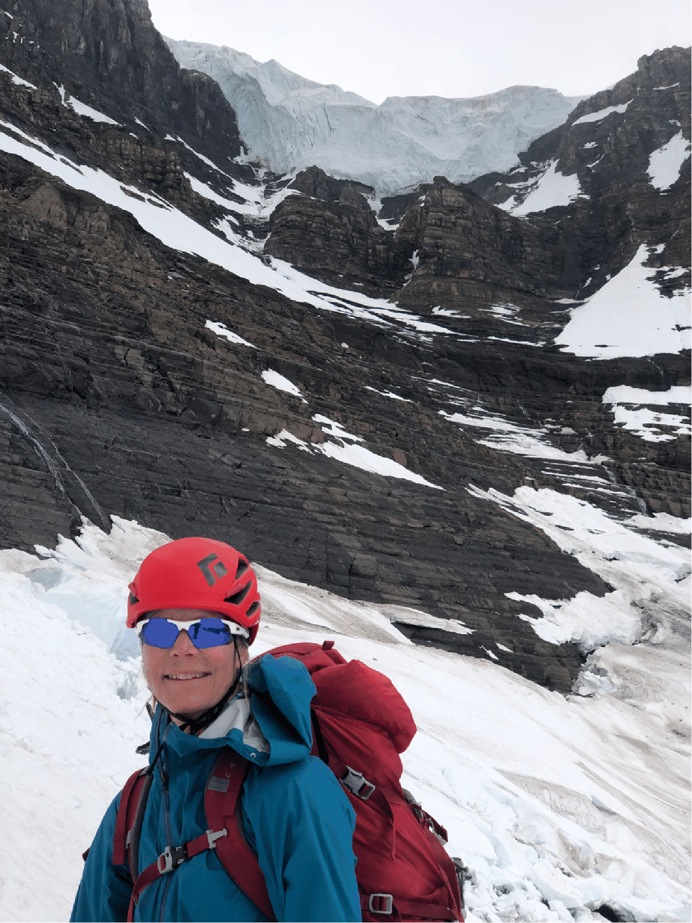
Looking up to the summit and the snow route of our descent.
The ice cliff at the end of the south glacier. (Photo by Tim McAllistger.)
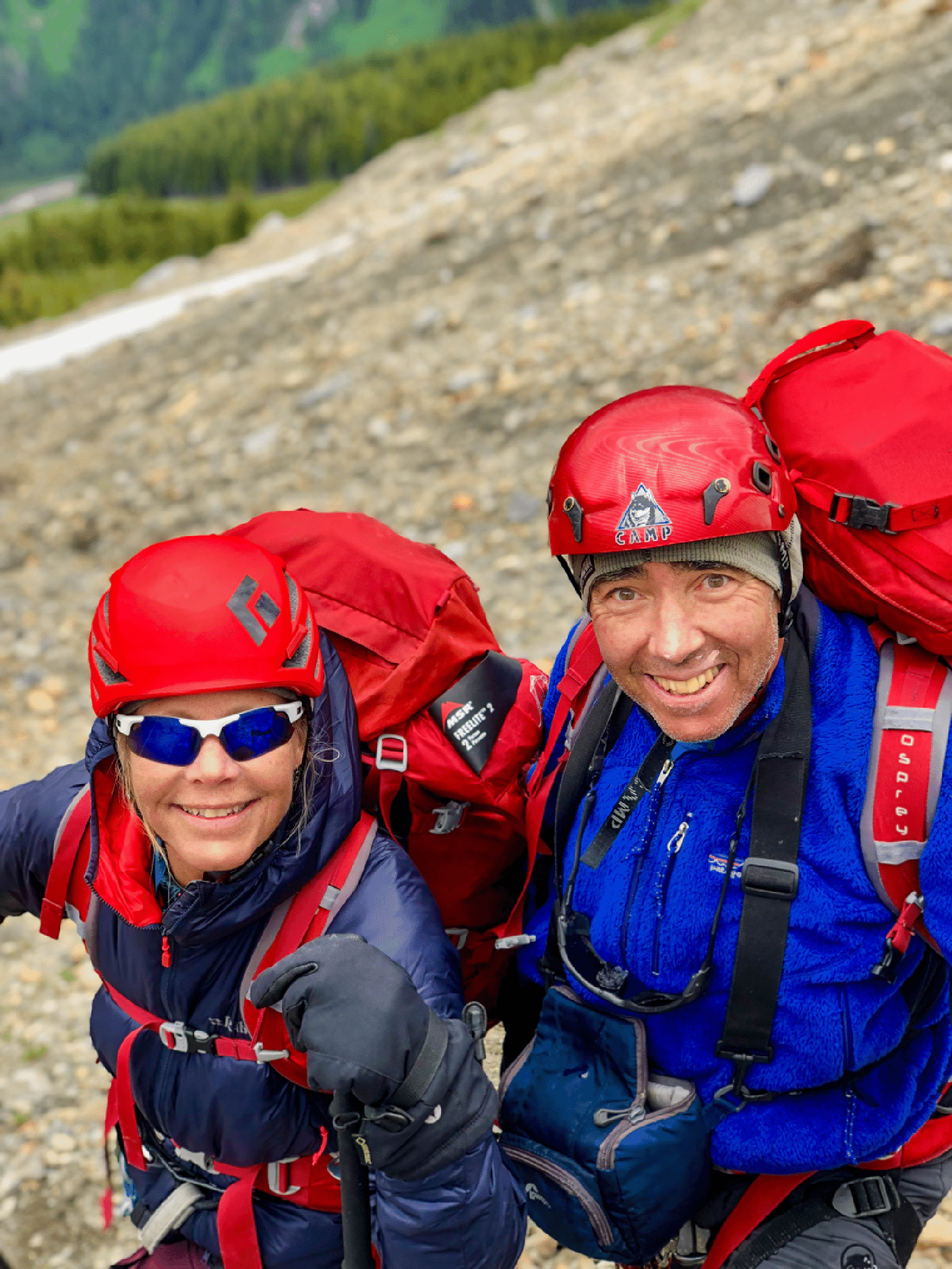
Kim and Stan, by Tim.
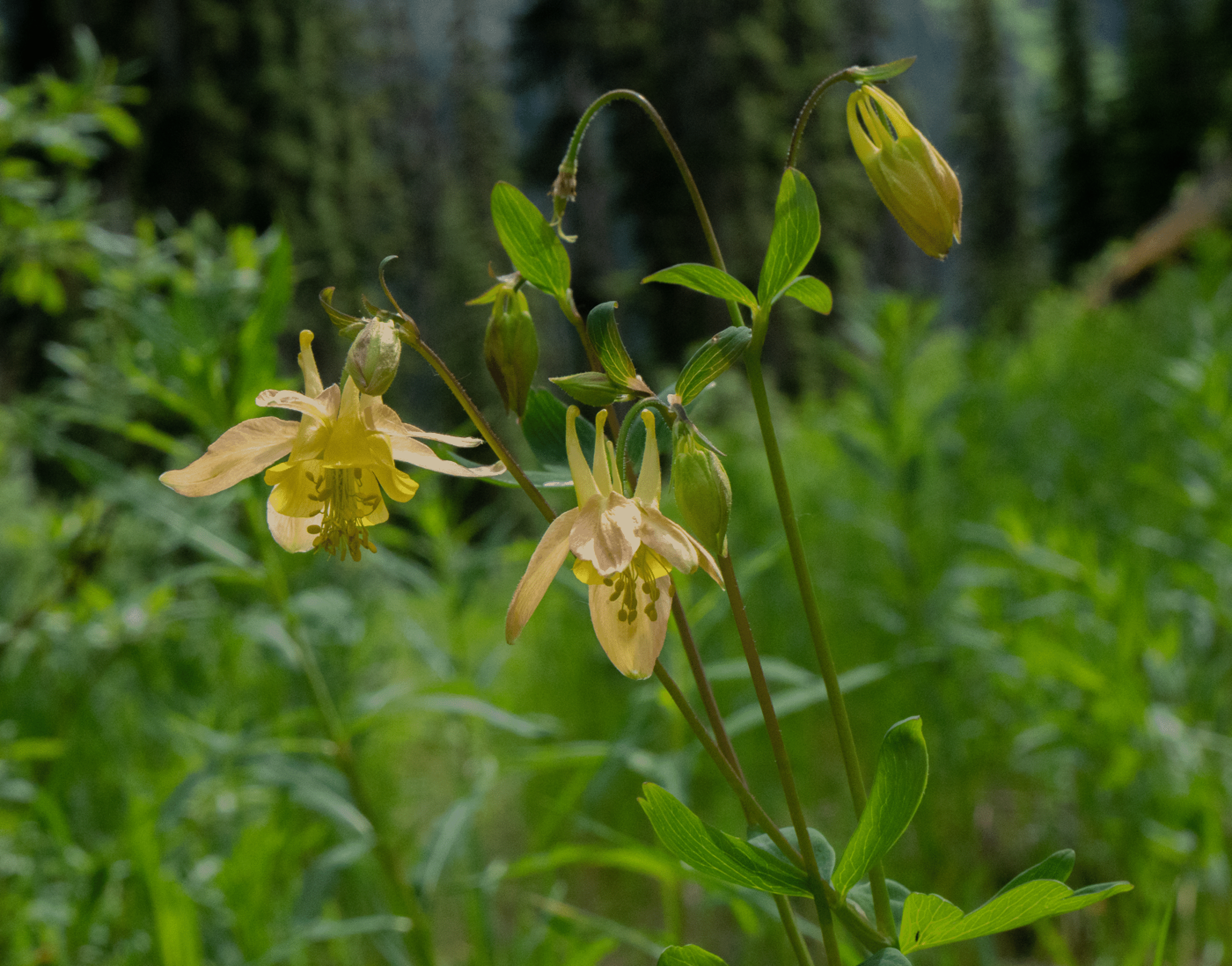
Two-toned columbine in the forest.
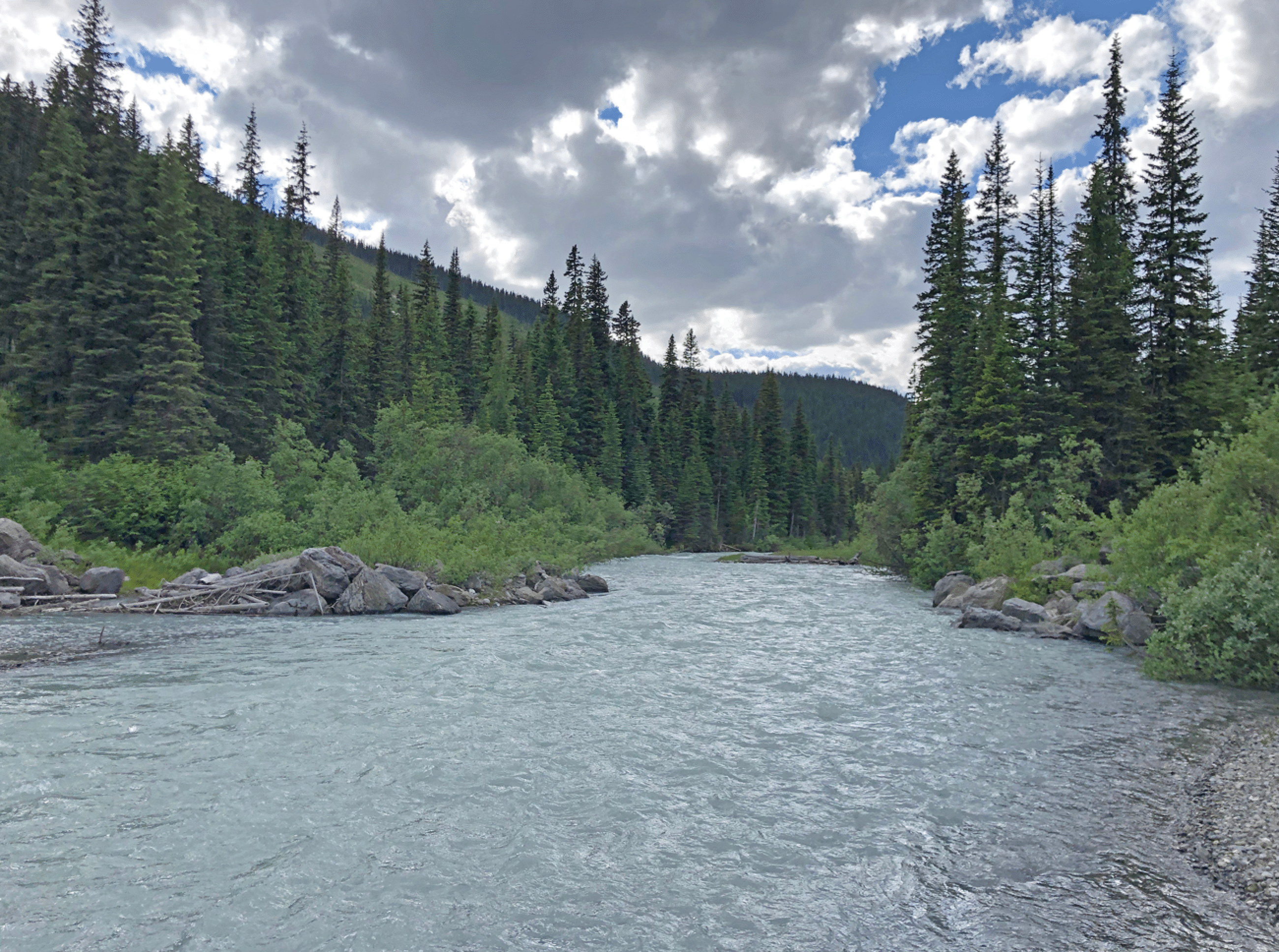
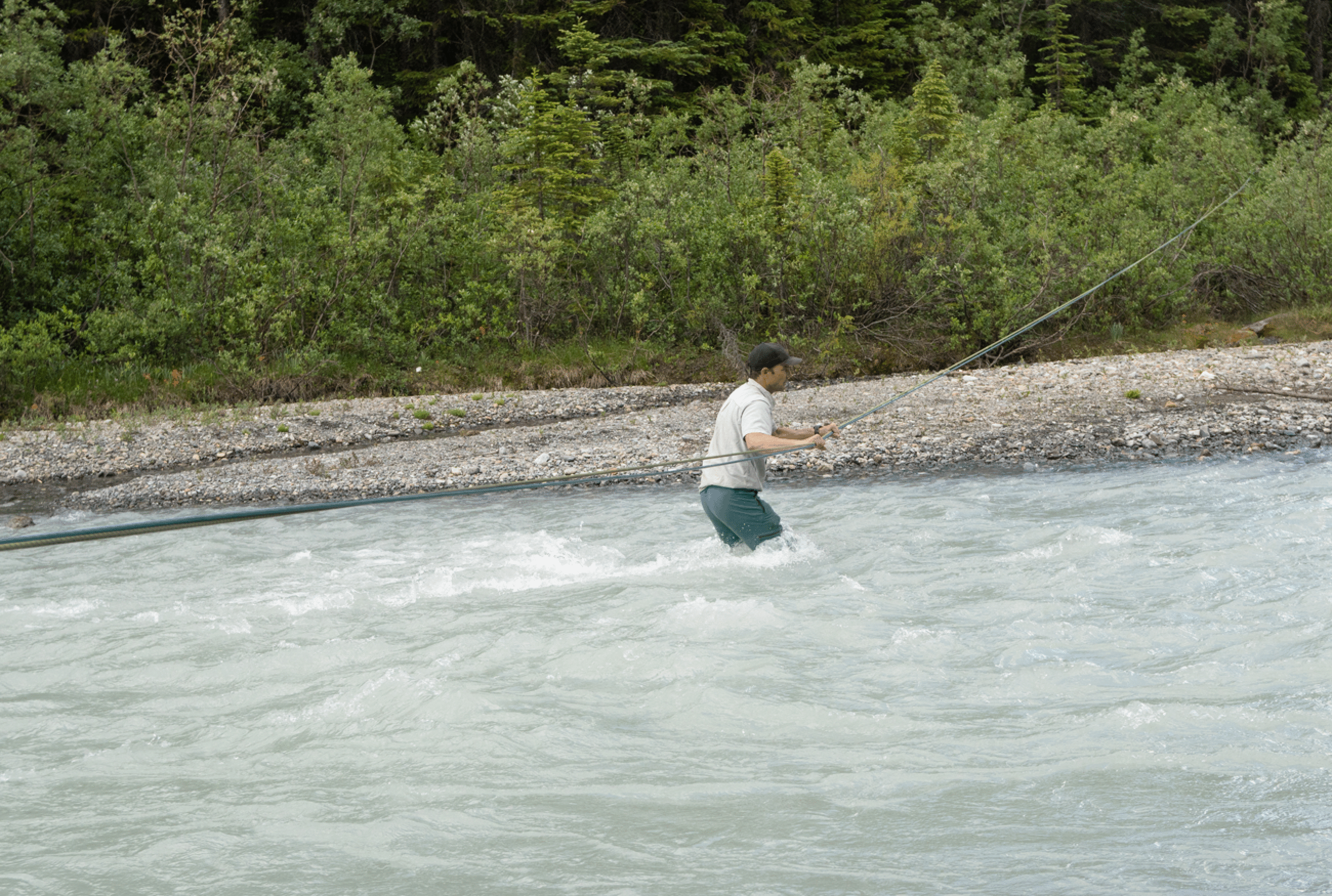
Downstream view of Rice Brook from our crossing point. The rocks mark the location of the old bridge that we walked over in 2000. Photo by Kim Clark.
Tim’s initial test of the depth.
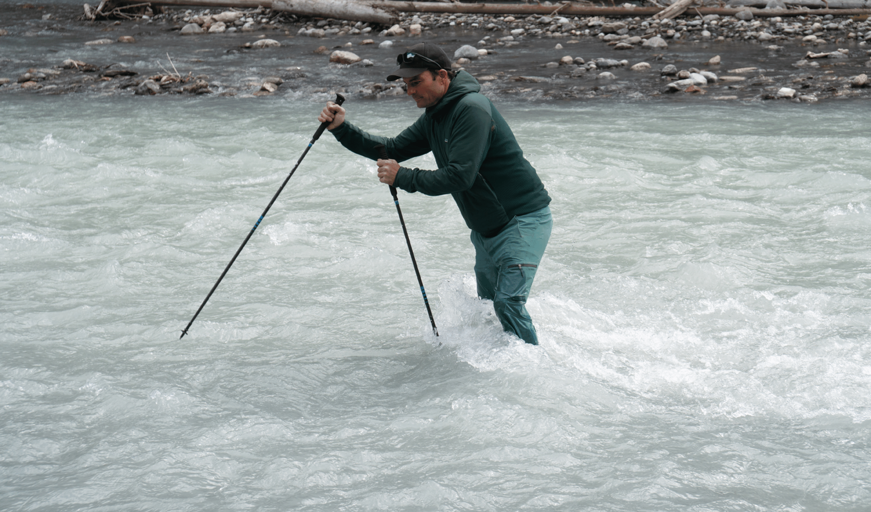
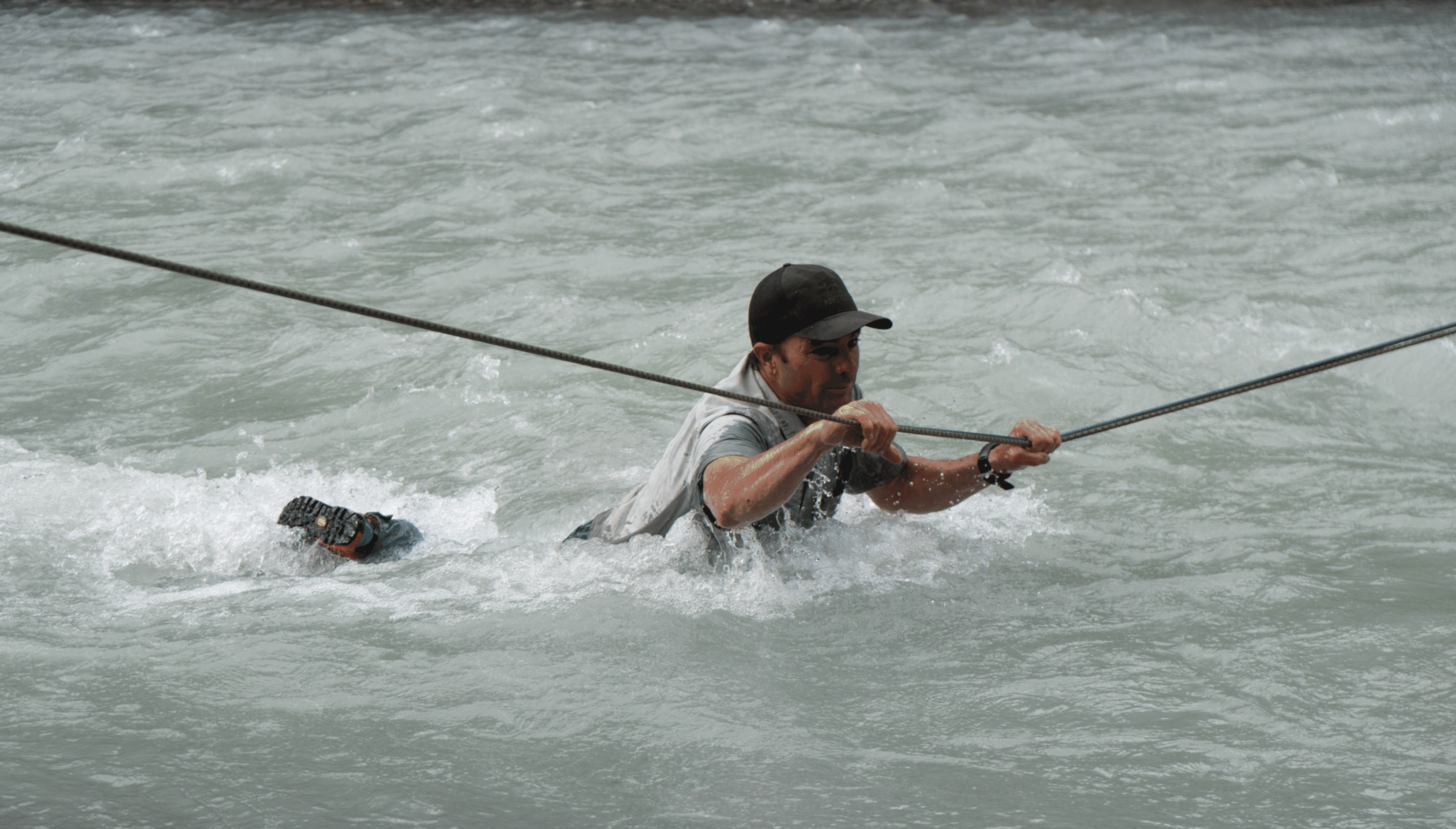
Andrew returning after having made the initial crossing and set up the double rope. Photo by Kim Clark, and Tim McAllister.
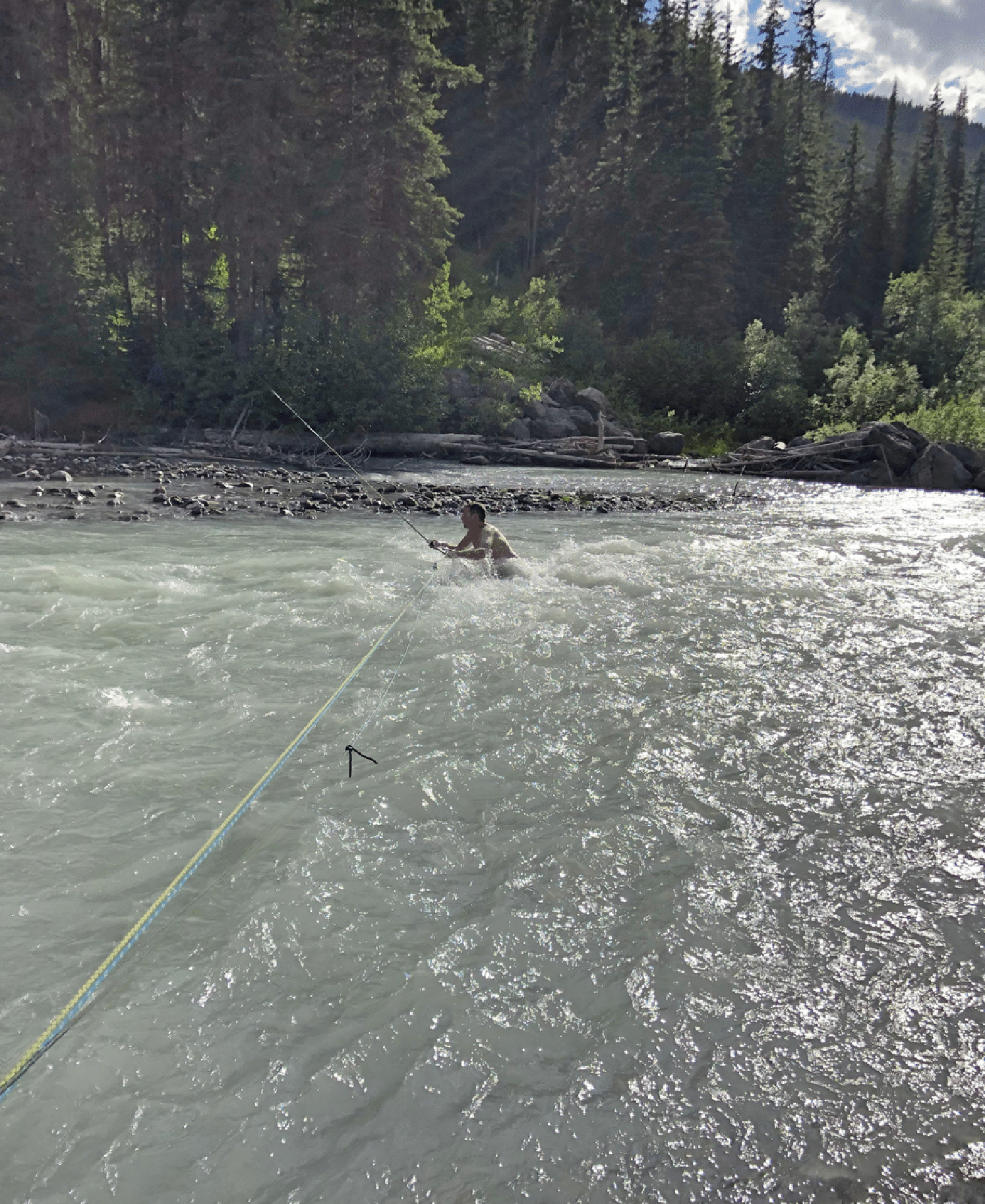
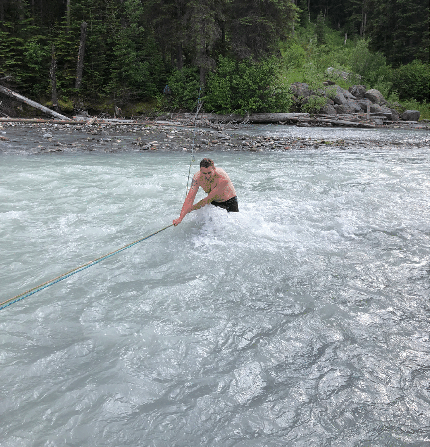
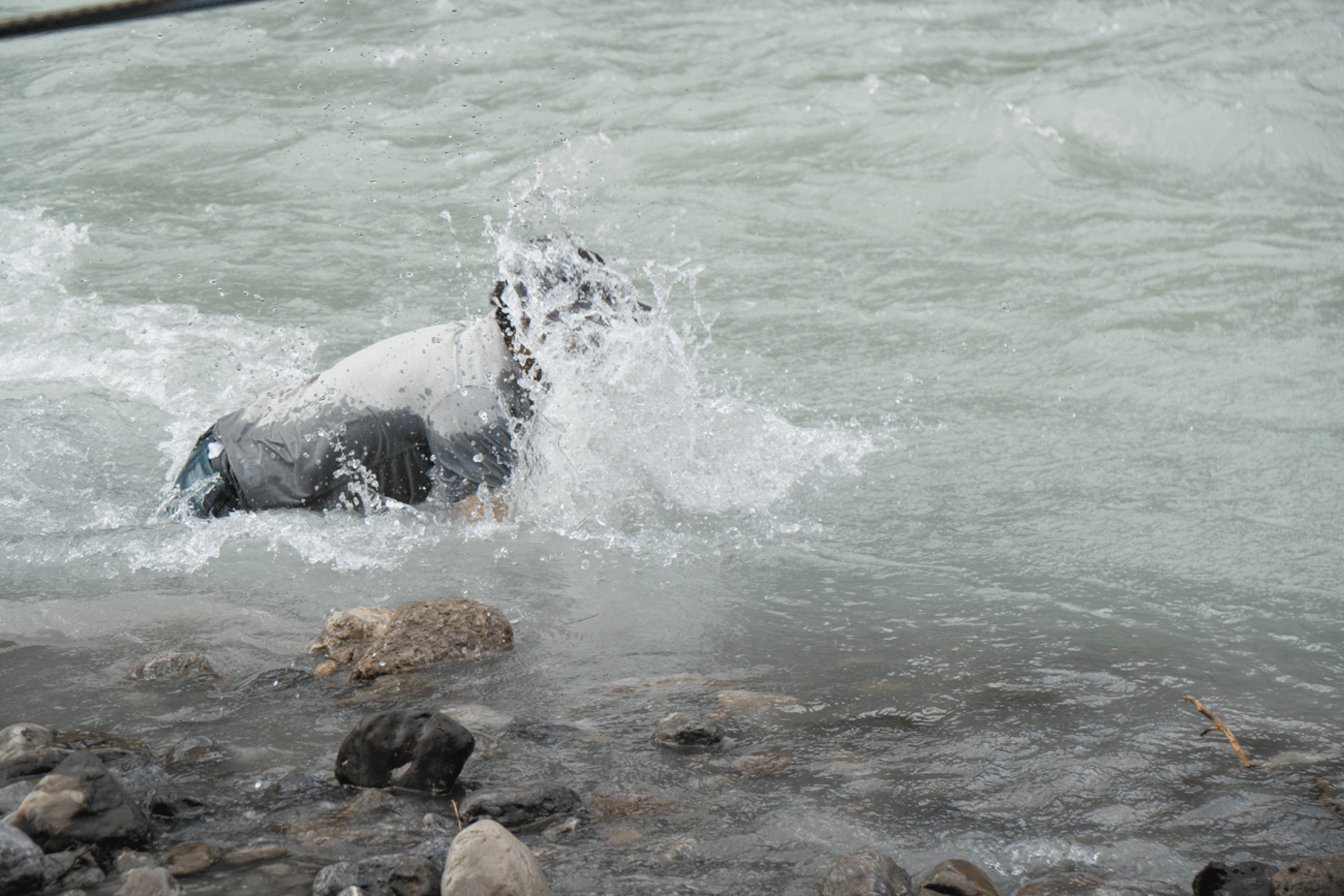
The following sequence shows the last crossing, by Tim.
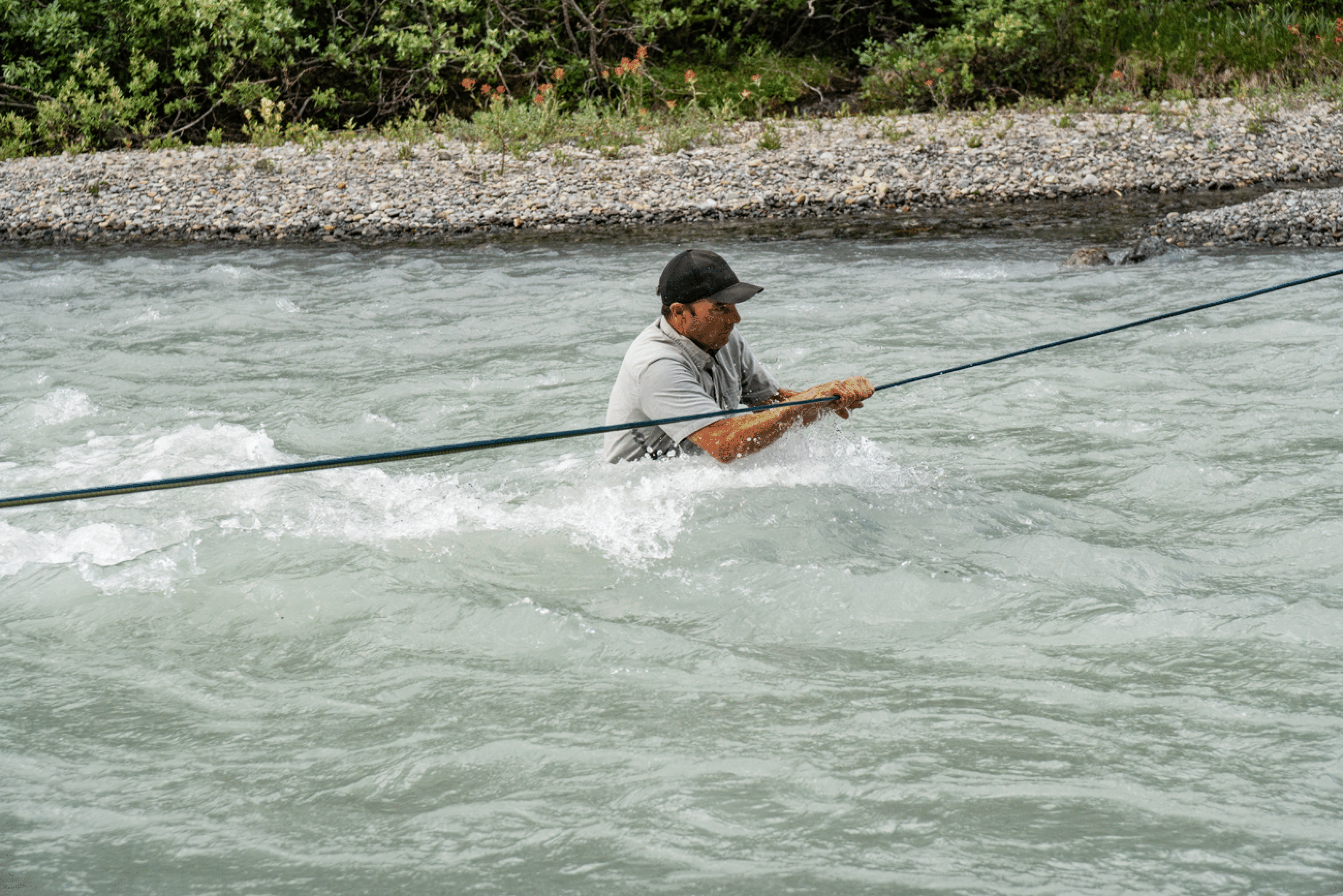
This shows the force of the flow, which forced feet off bottom.