Mt. Bryce, Day One: Big Push on NE Ridge to a Glacier Camp
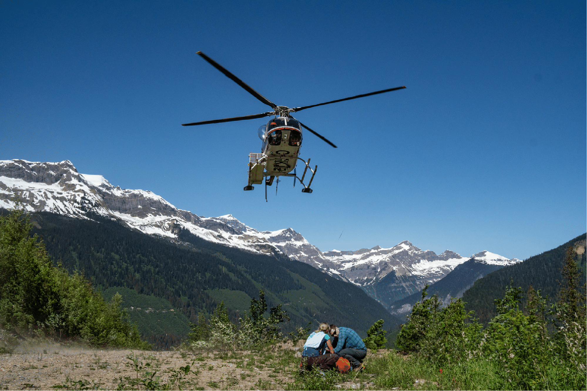
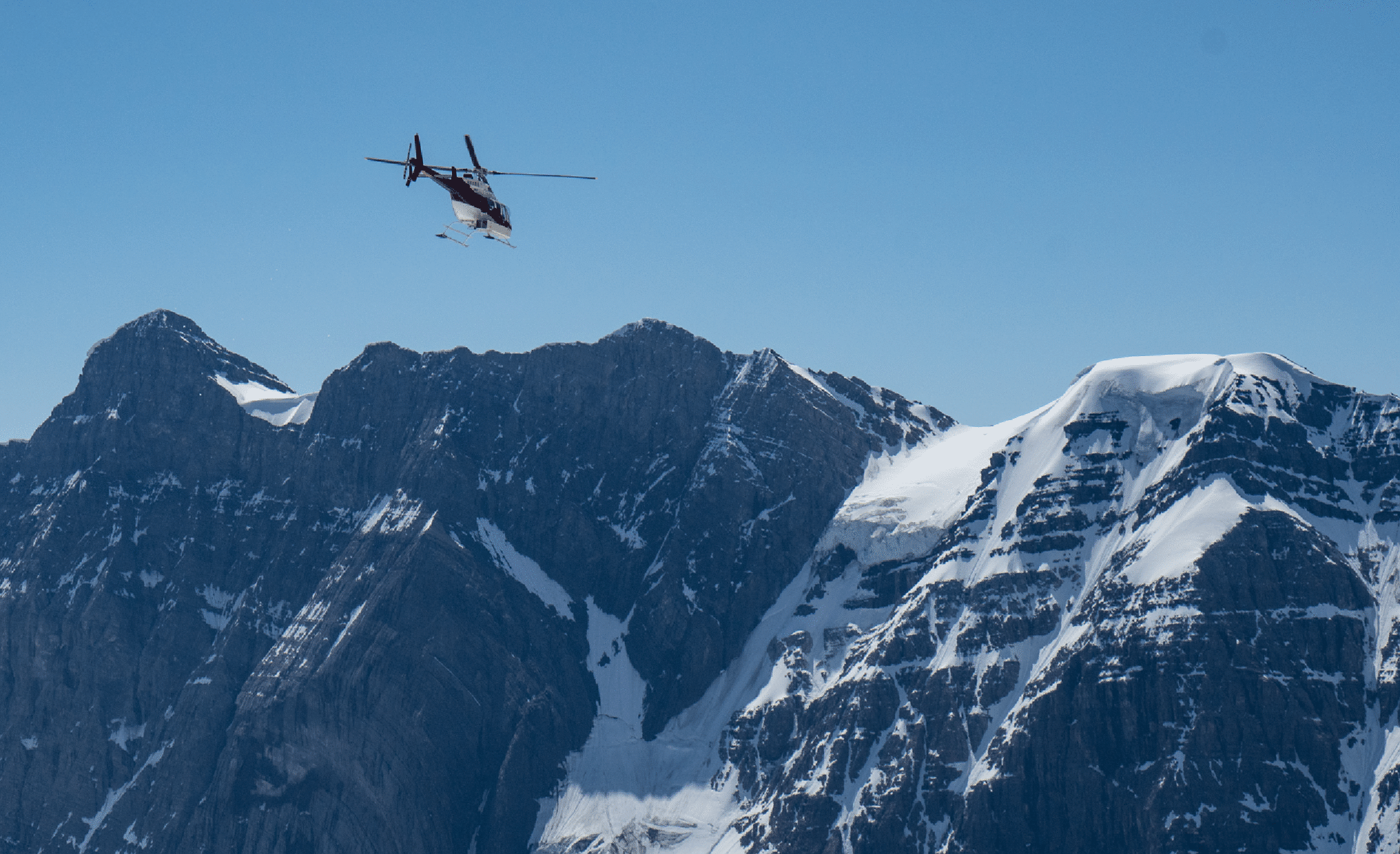
The Alpine Helicopter likes to get into the alpine. (Photo by Kim Clark.)
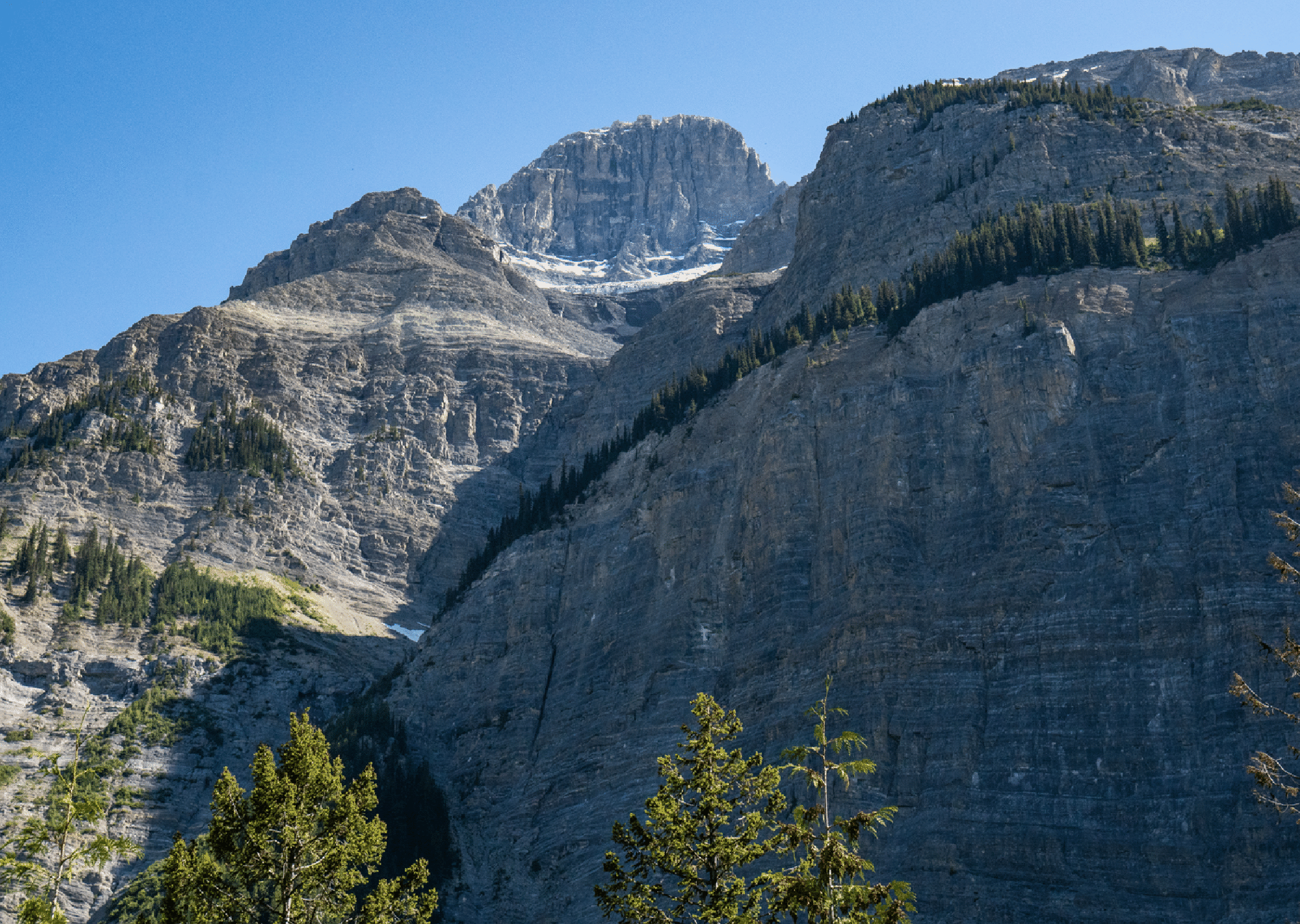
A view of the steep SE Face of Bryce from the parking area; the summit is 7000 feet above us. A wingsuit flight was made from there in 2014.
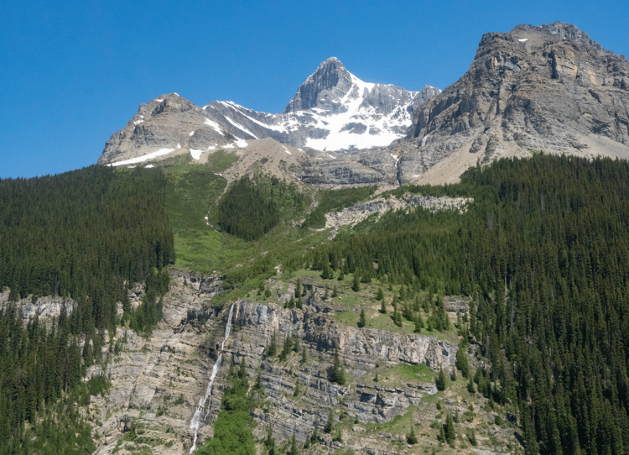
The view from the helicopter: Bryce summit and our descent route down snow, scree, and then the thick forest on the right.
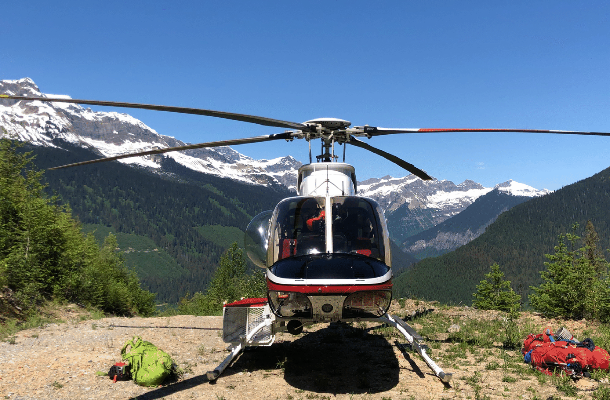
Going home after the drop.
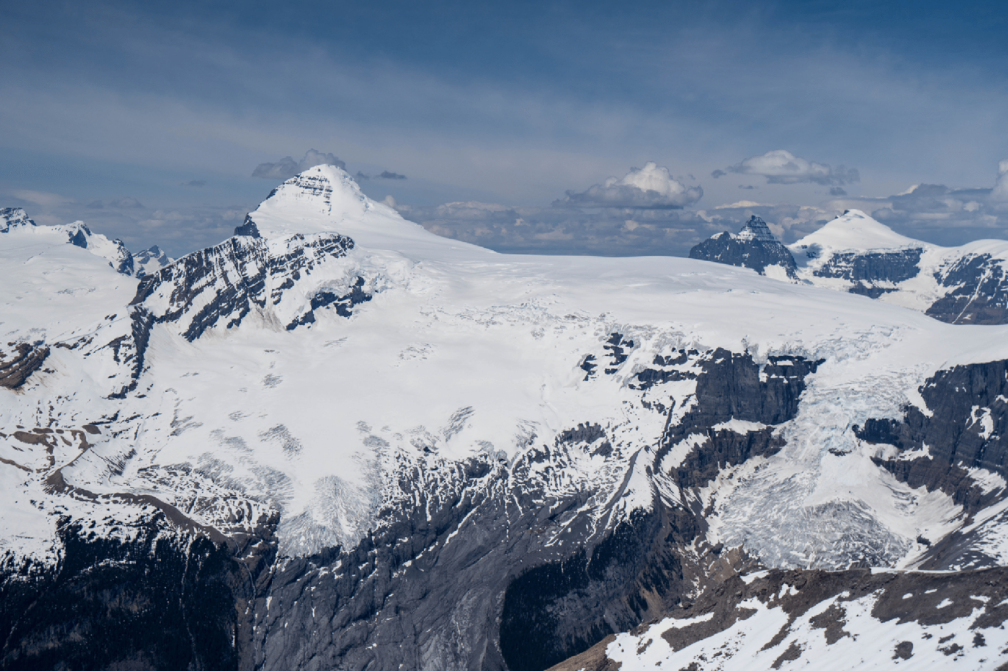
Mt. Columbia, the highest peak in the Canadian Rockies. In this image it is 4000 feet above us.
The helicopter dropped us at the flat snow area at bottom left. (Photo by Tim McAllister.)
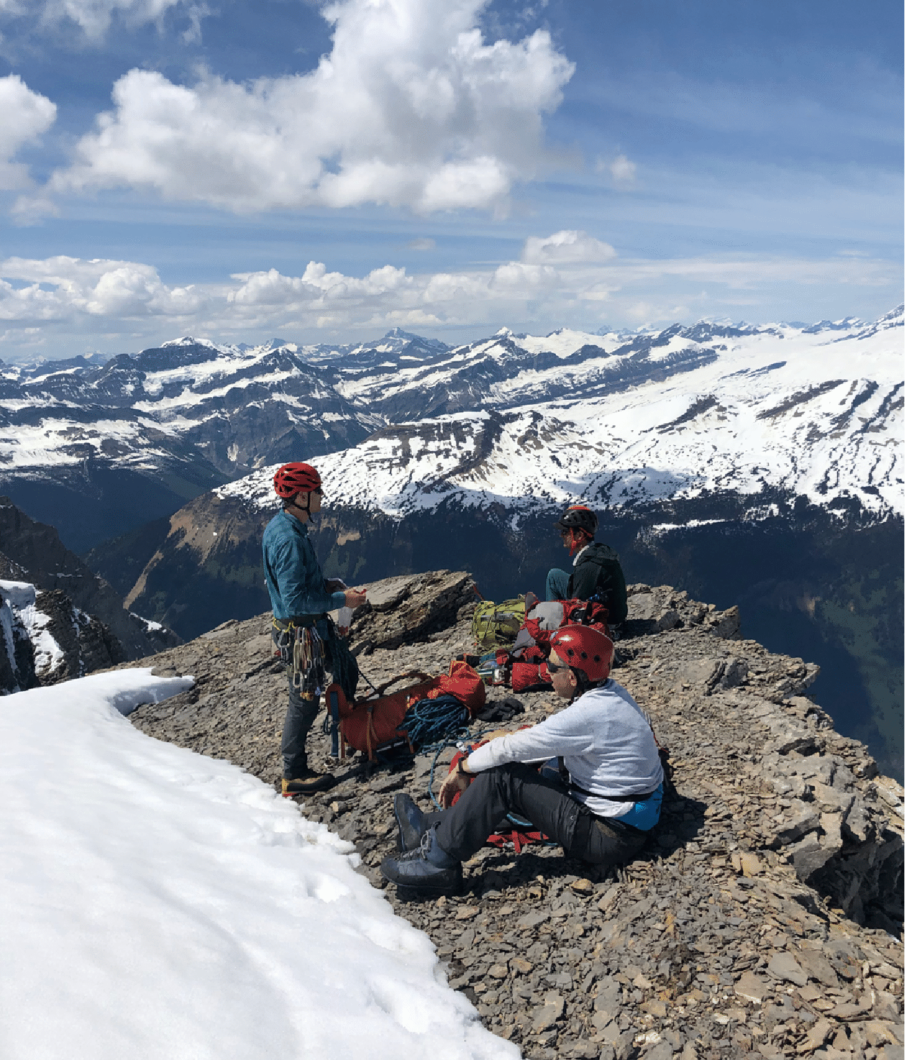
Kim near the start. (Photo by Tim McAllister.)
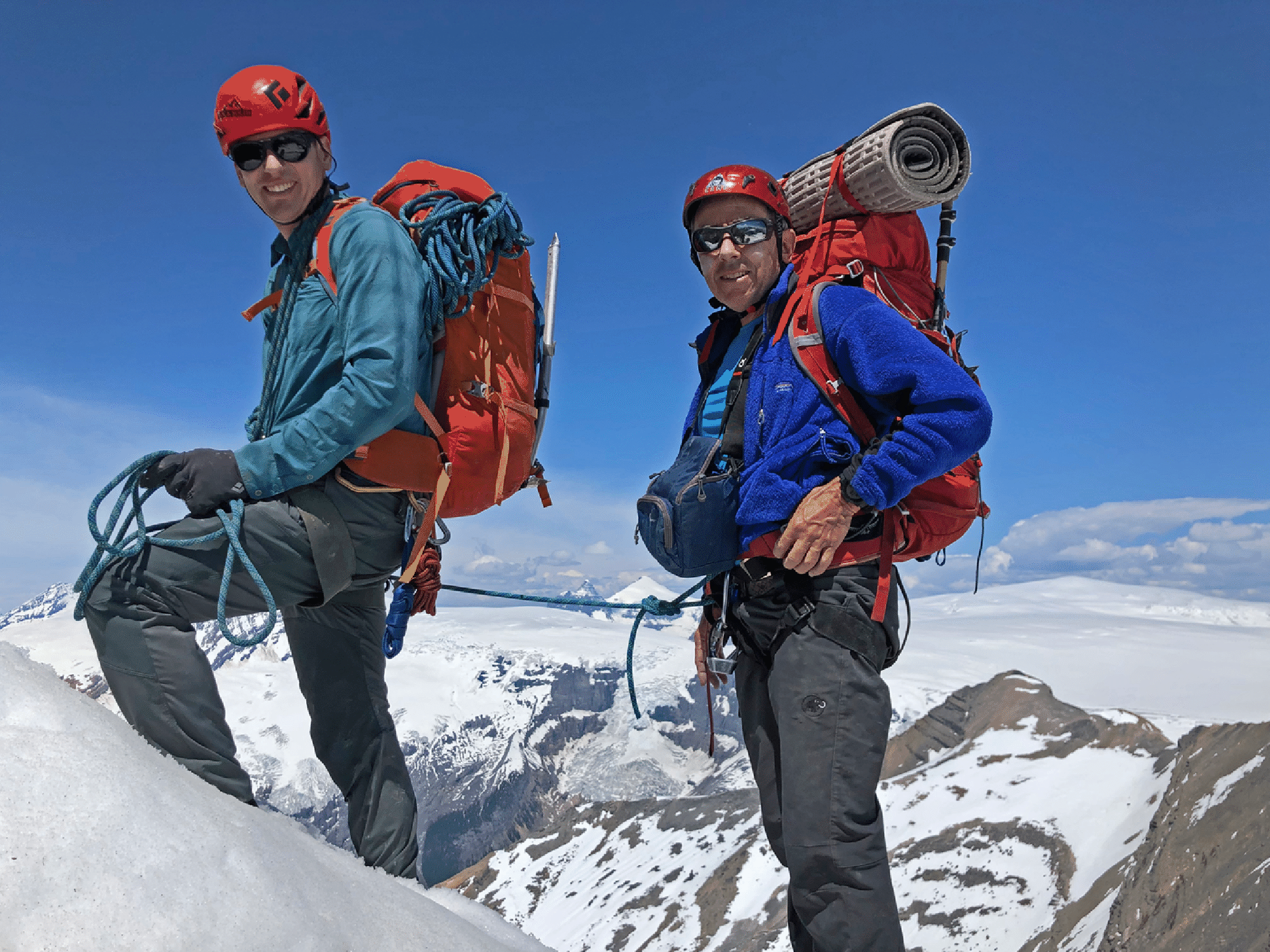
Andrew and Stan; Snow Dome at right (that is the hydrologic center of North America). (Photo by Tim McAllister.)
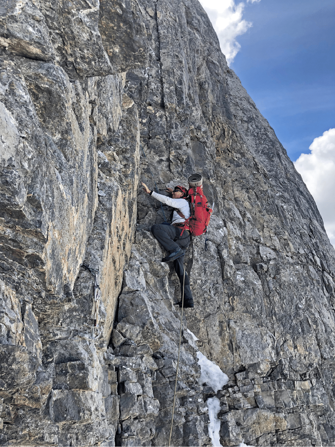
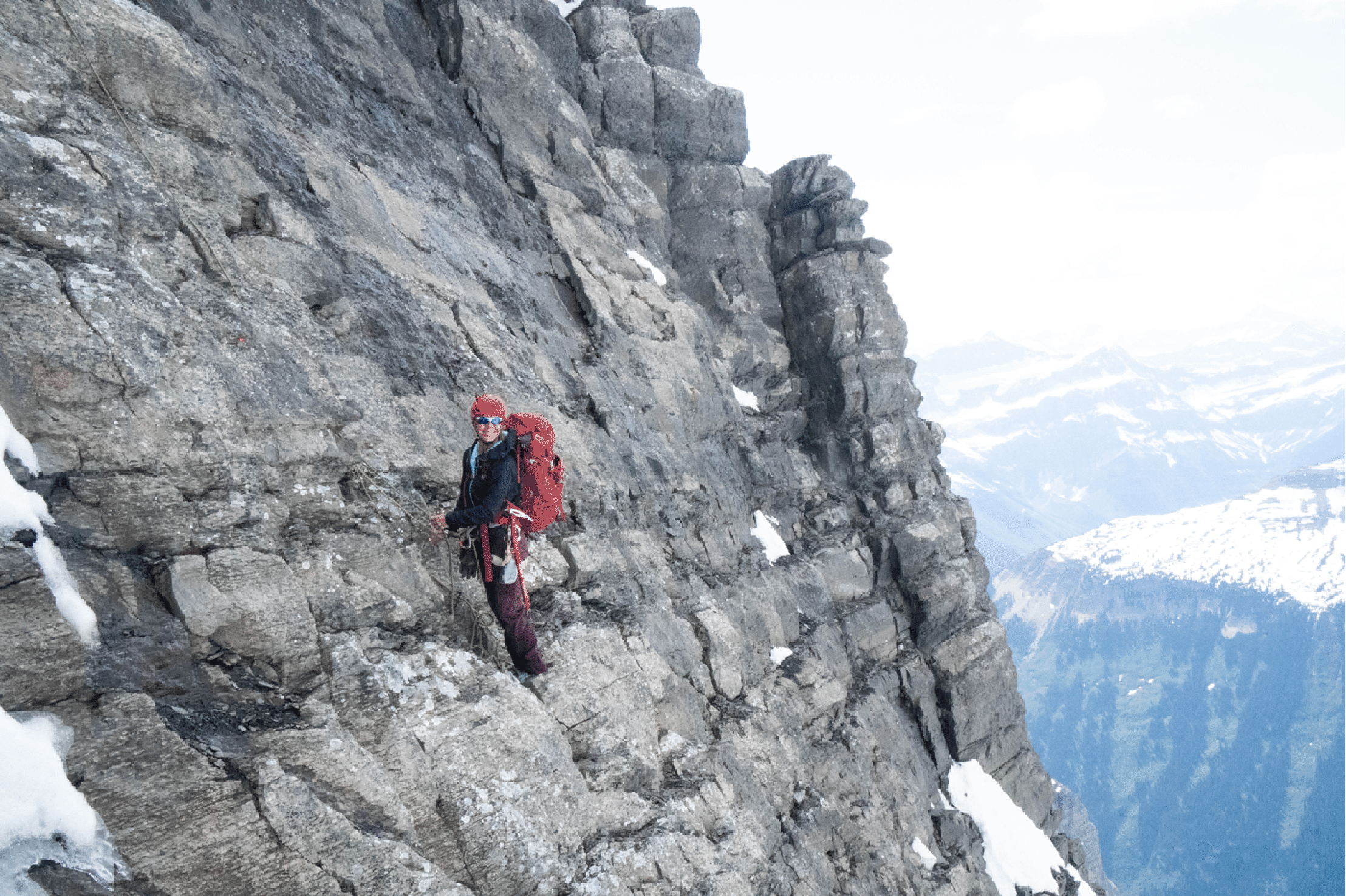
Stan starting the crux section (5.6). Photo by Kim Clark.
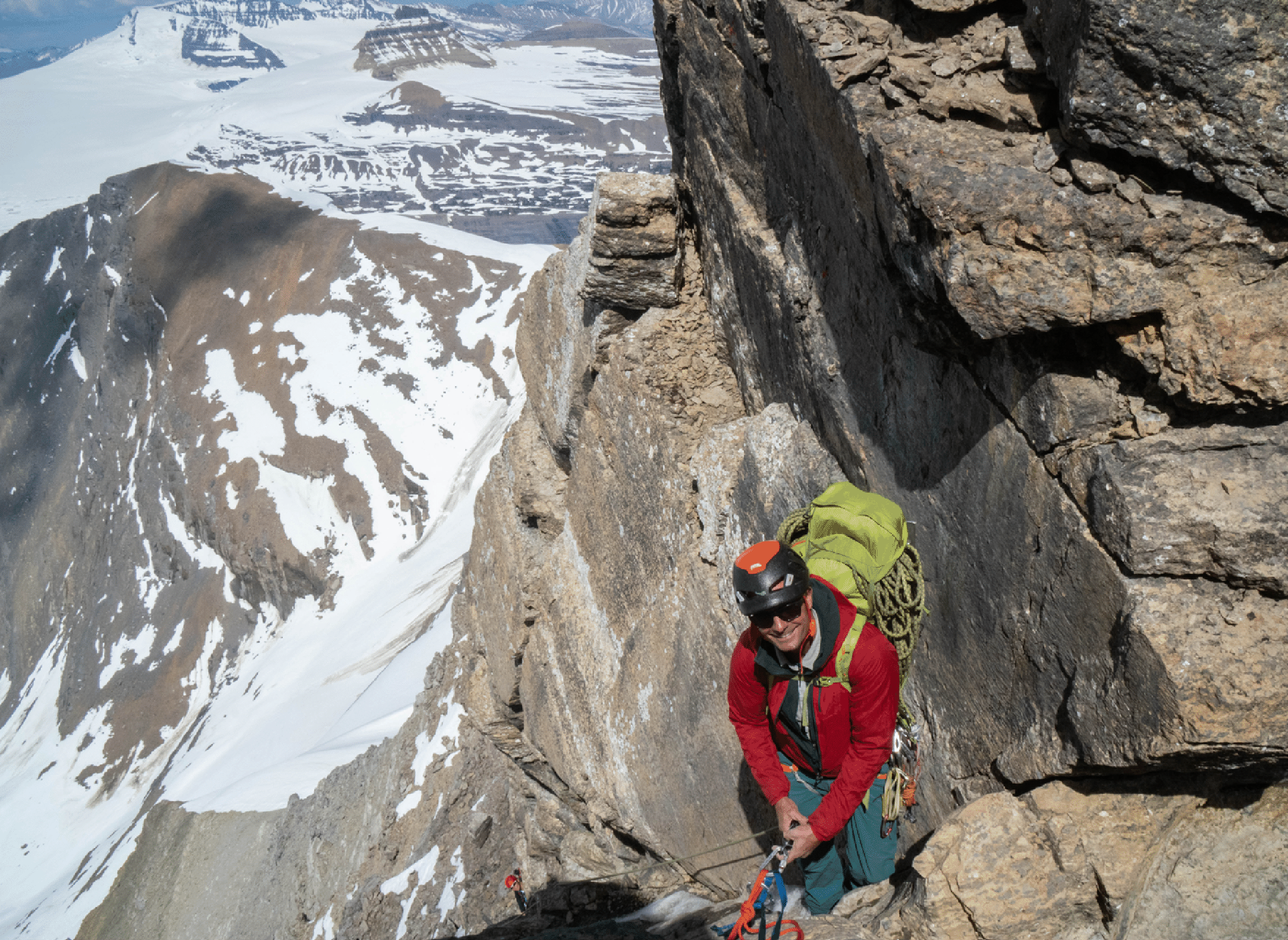
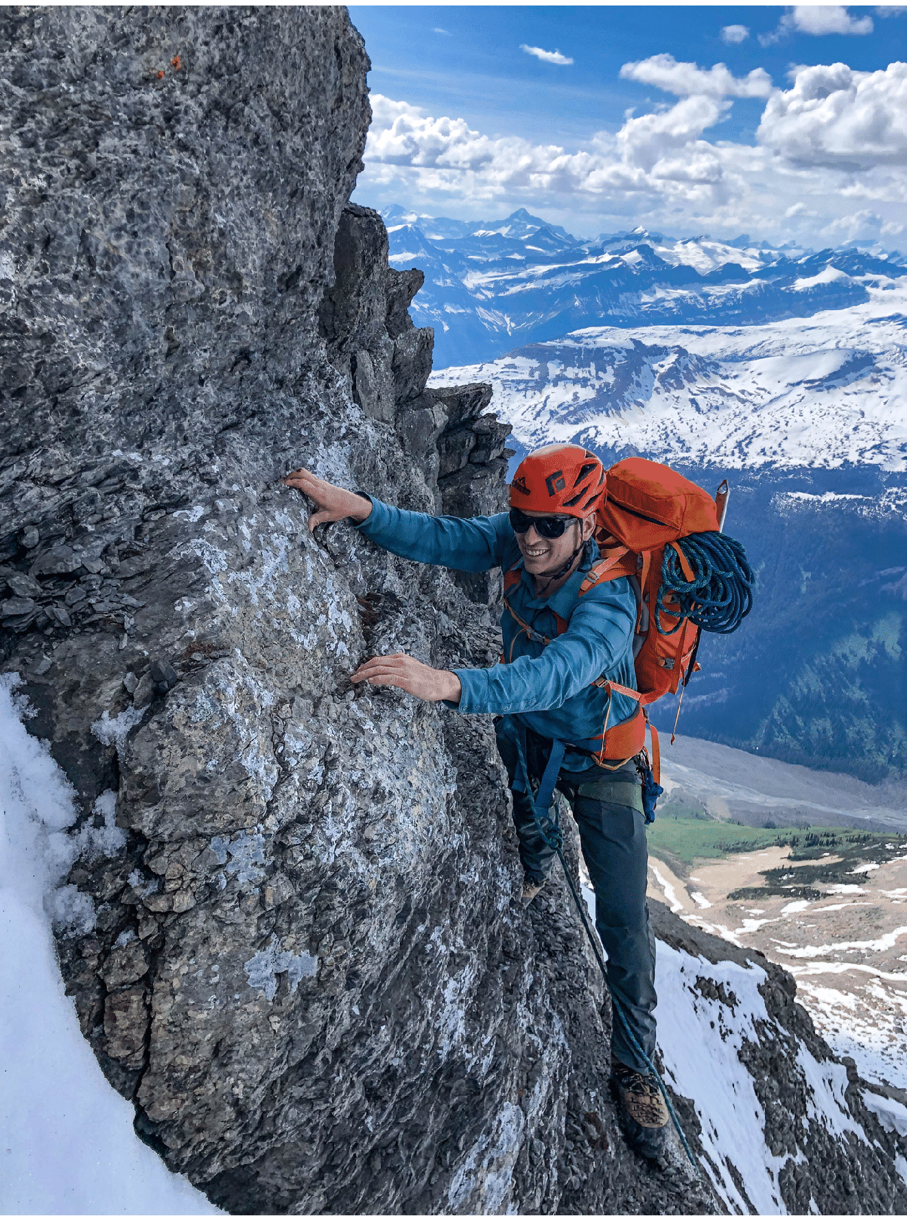
Tim atop the crux 5.6 pitch.
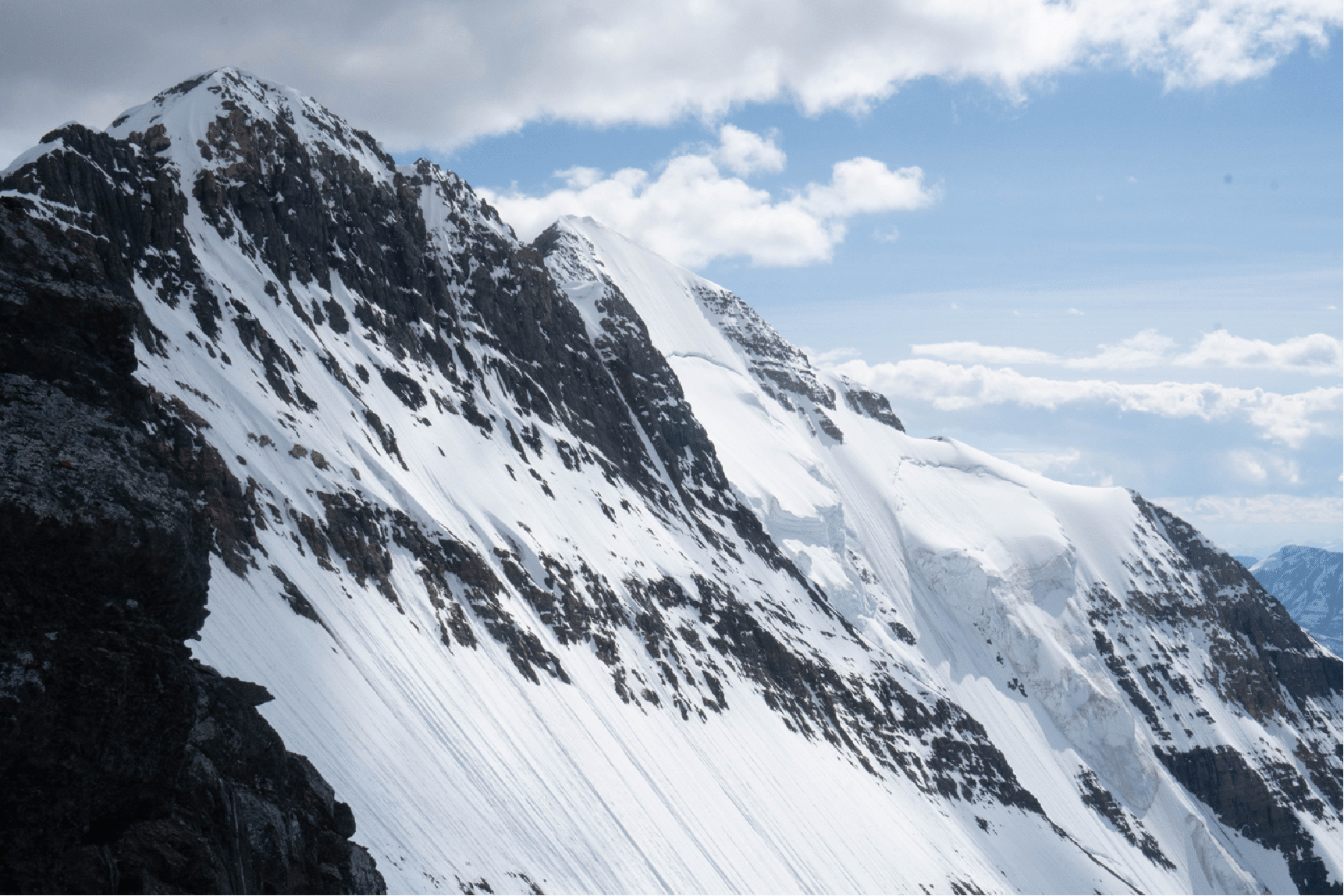
The NE peak at left and Center Peak in center, with its glaciated north face. The main peak is behind.
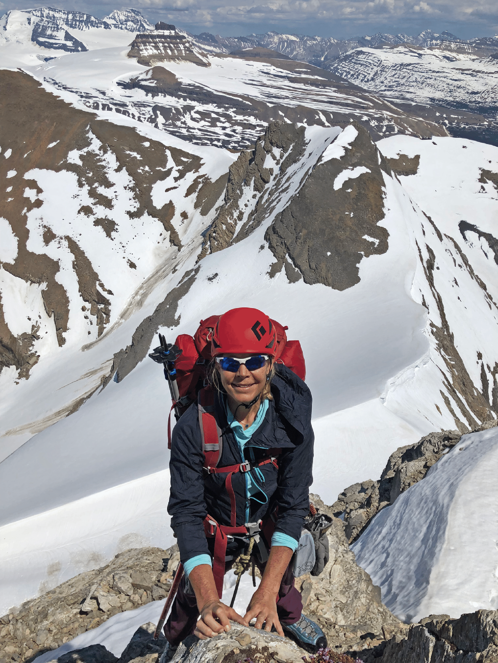
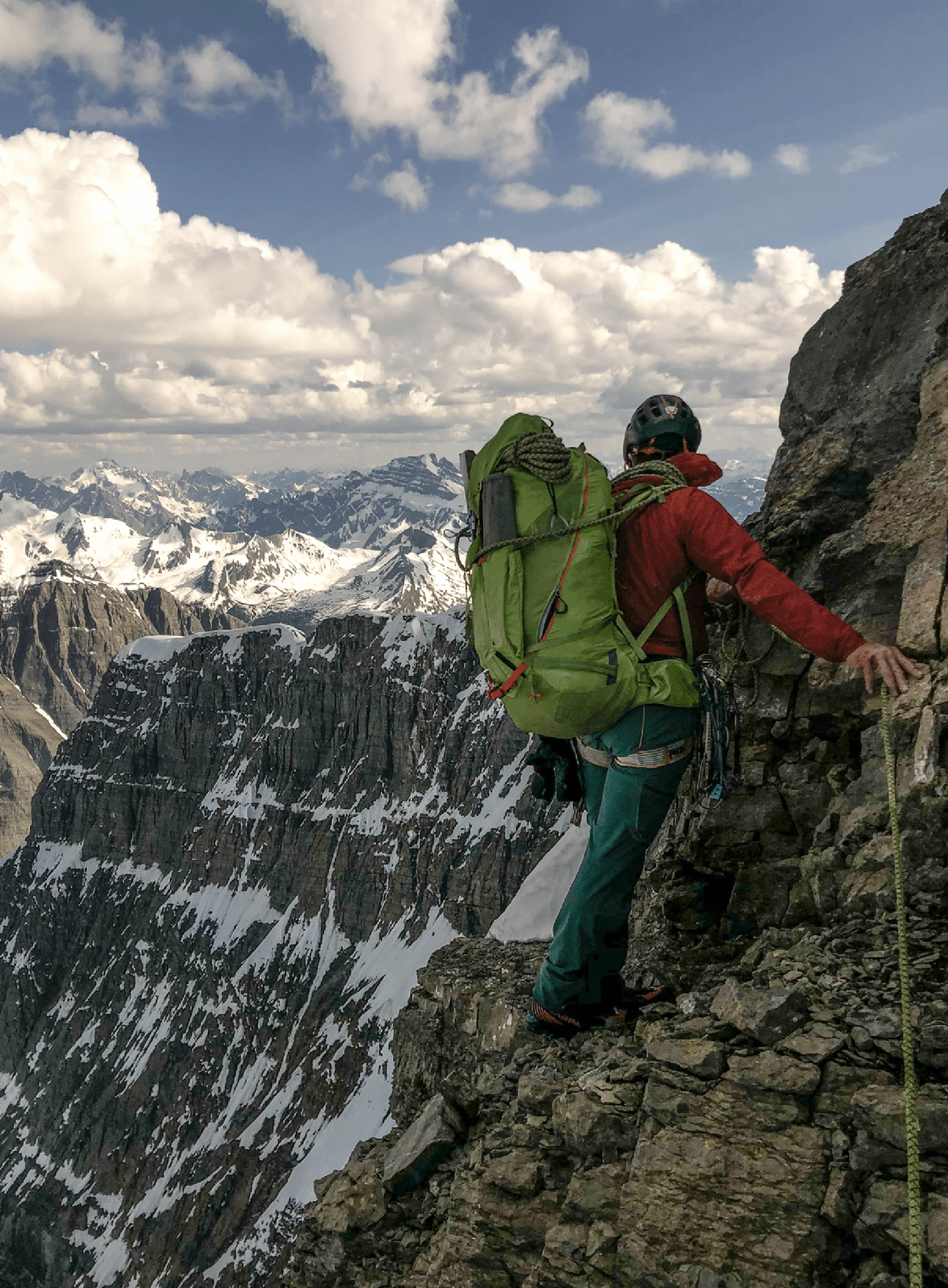
Kim on a steep section well along the ridge.
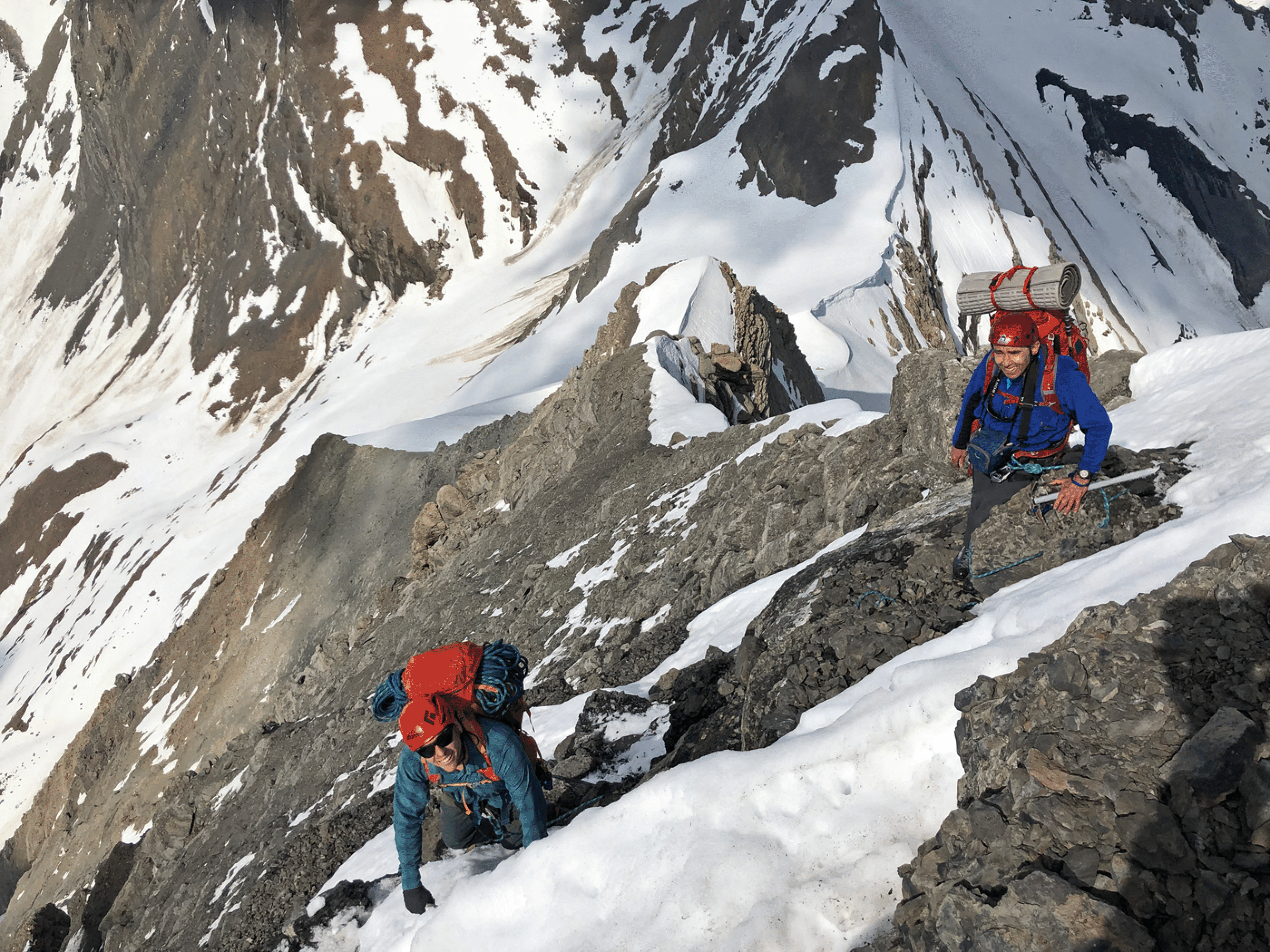
Andrew Rennie on the ridge. Photo by Kim Clark.
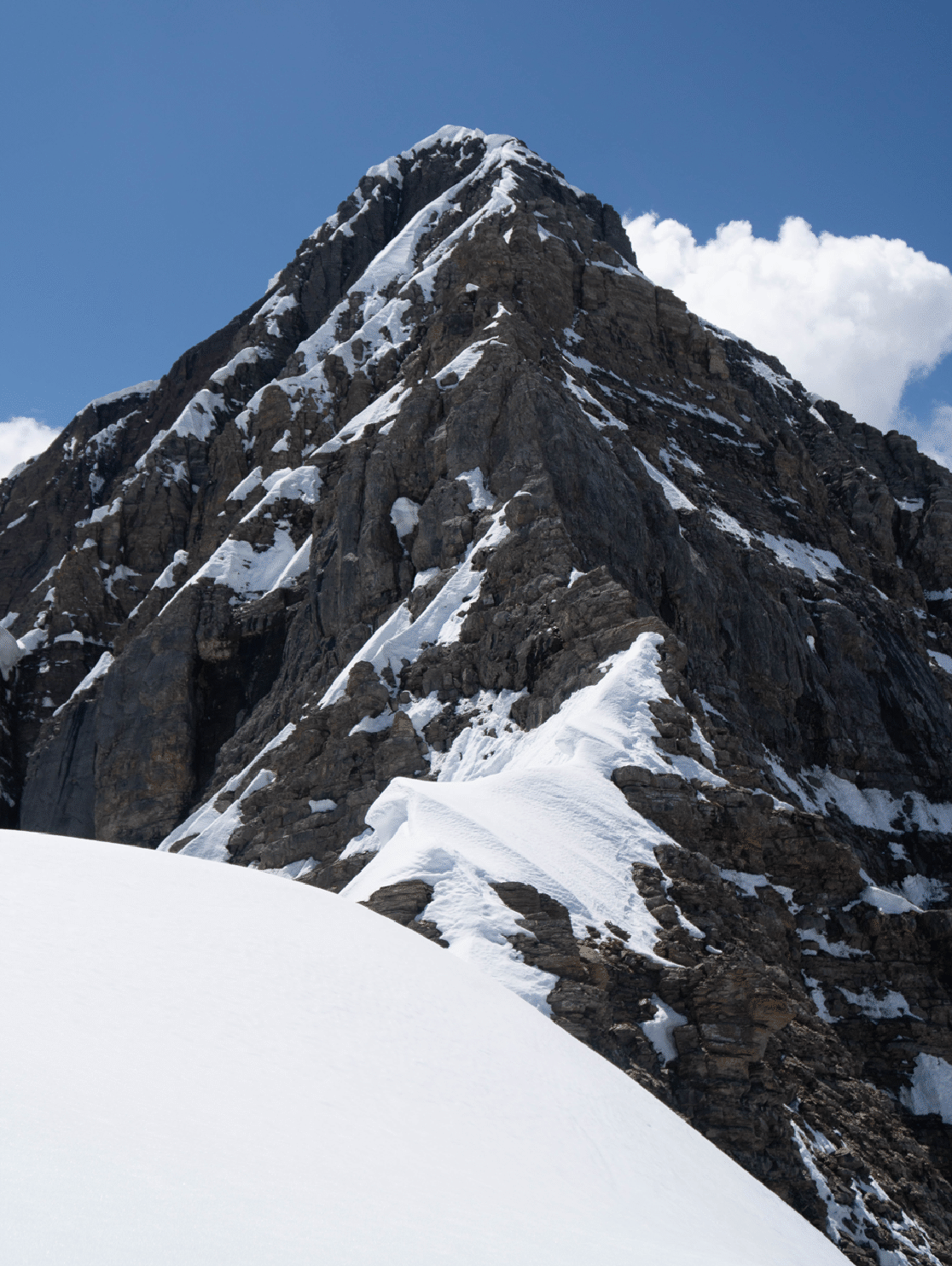
Typical section of ridge.
A rare flat spot on the northeast ridge.
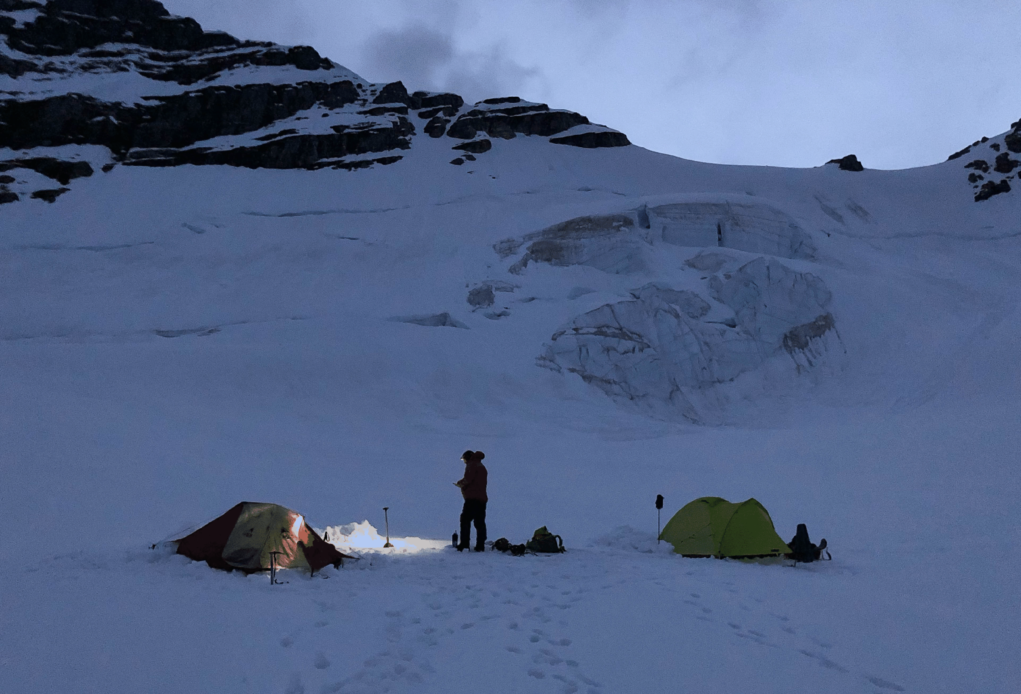
Our camp on the south glacier; photo taken at 11 pm by Andrew Rennie. At upper right is the col between the NE Peak and the Center Peak.