Photos

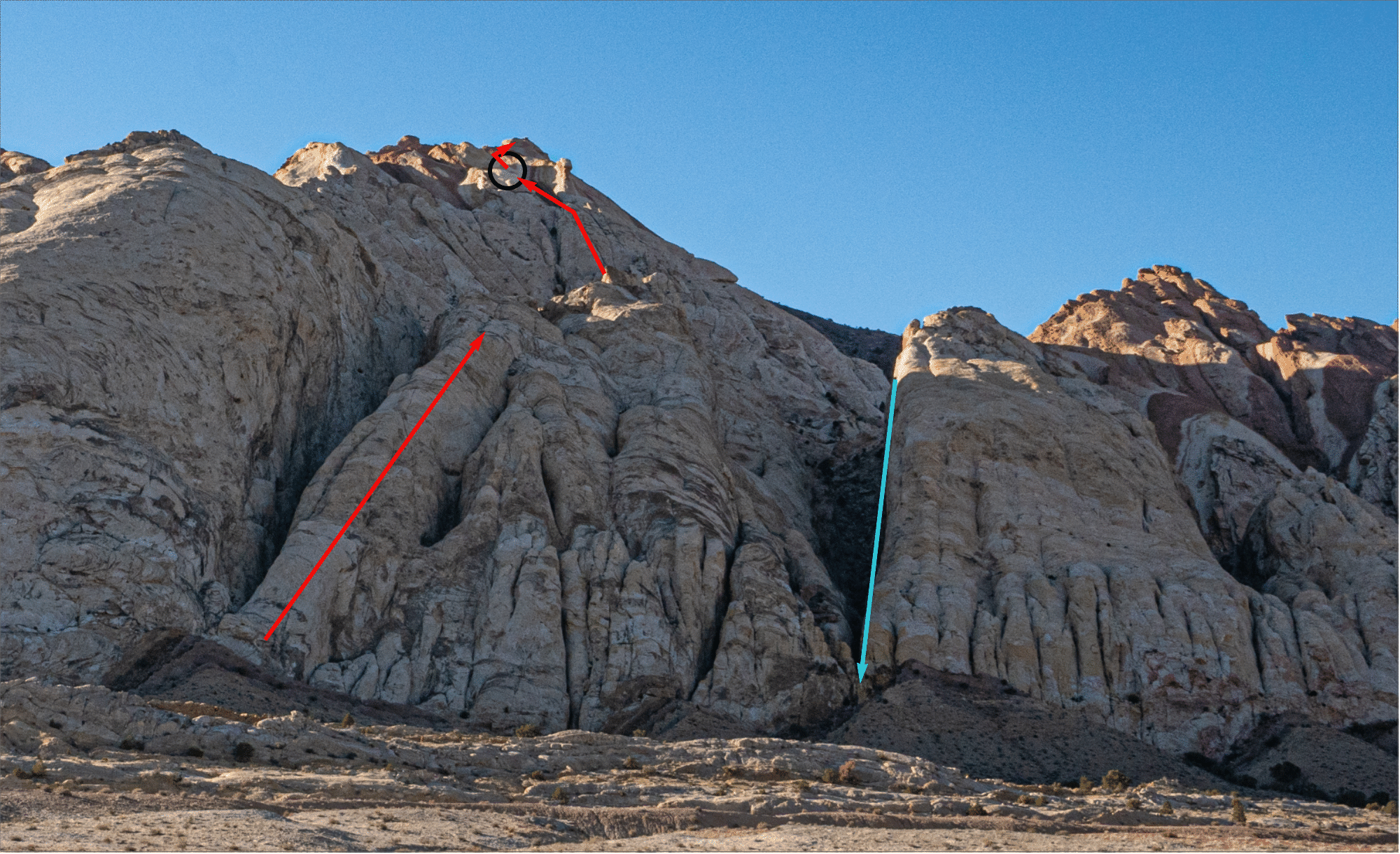
View from the car at the end of the day. Our descent canyon—Ladder Canyon—is in cyan. A class 3 route to the halfway valley exists at the right of the image, but is hidden in this view.
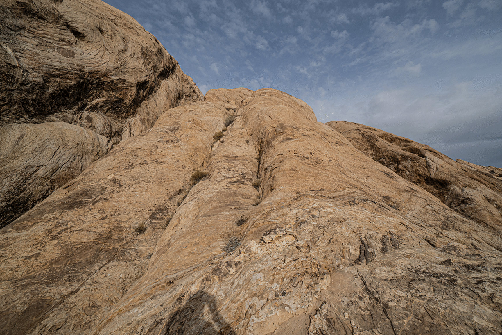
Looking up Climber’s Slab.
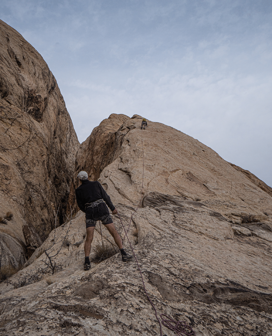
Mark Cartwright leading up Climber’s Slab.
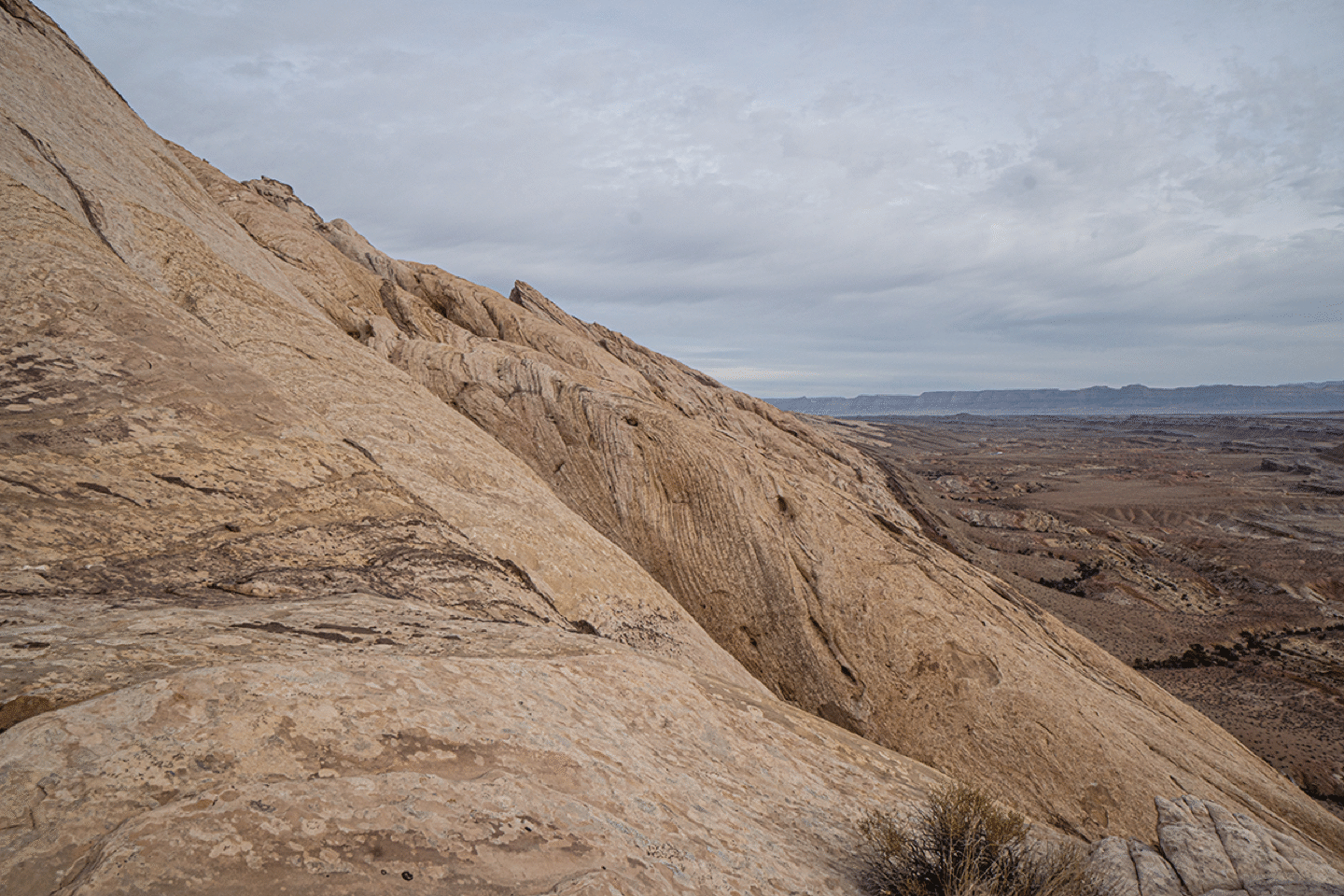
View north across the face.
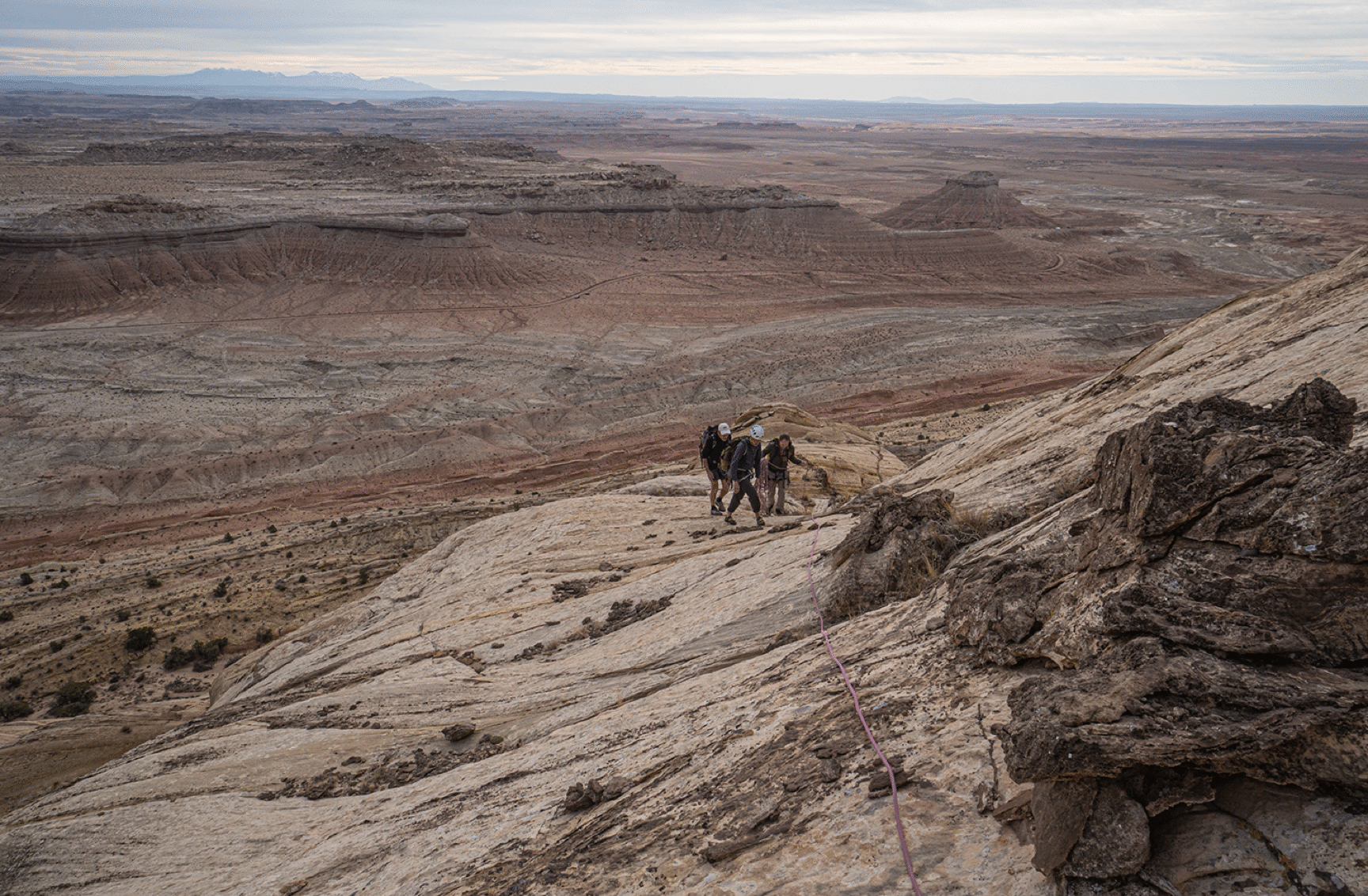
Nearing the top of Climber’s Slab.
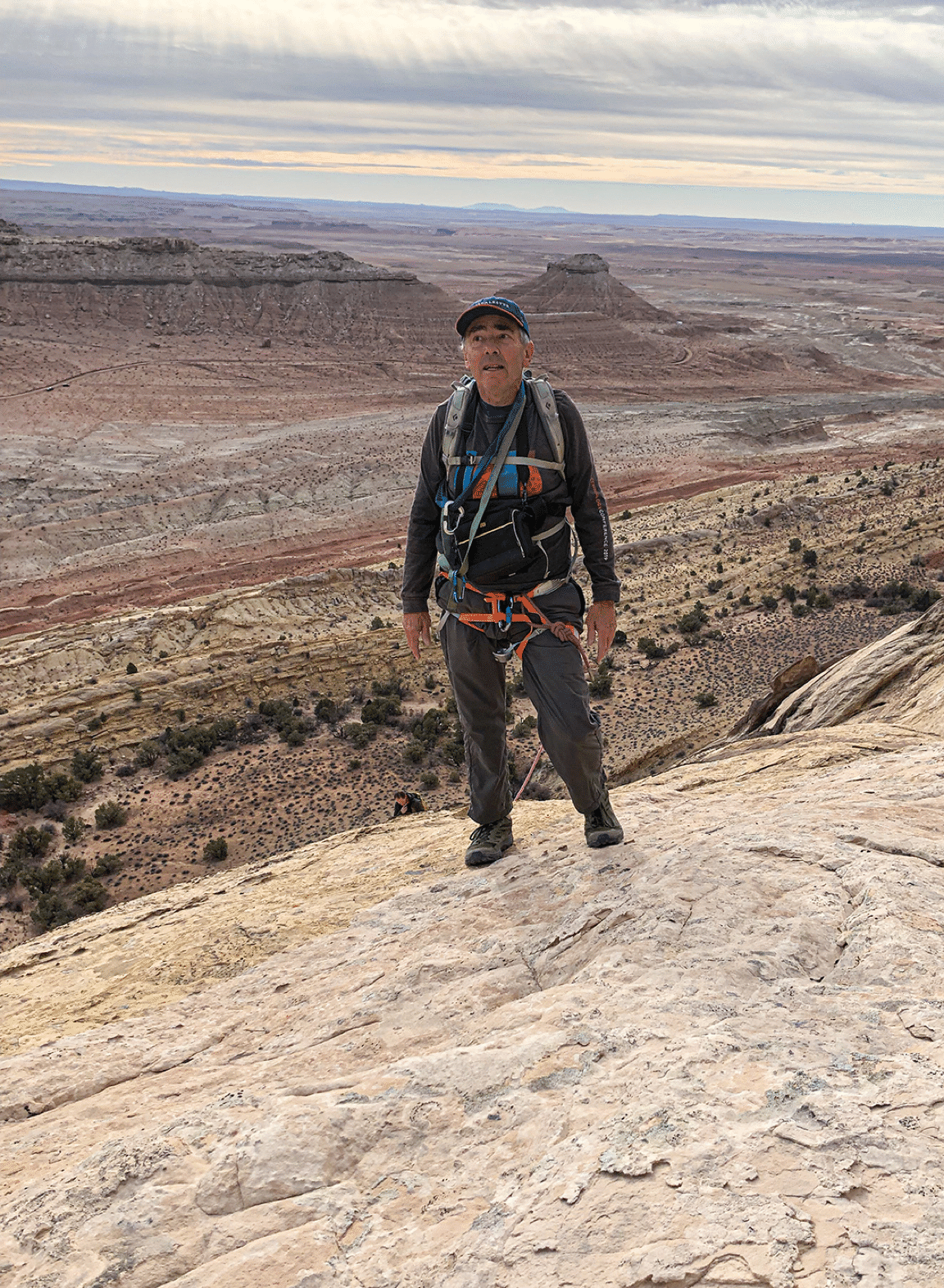
Stan near top of Climber’s Slab (photo by Jim Illg).
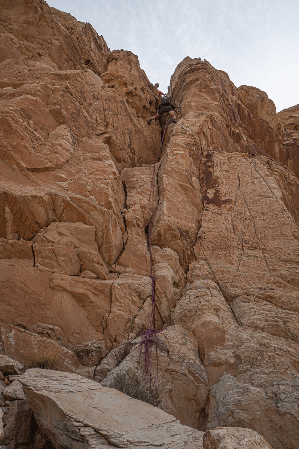
The descent route from the top of Climber’s Slab into the halfway valley.
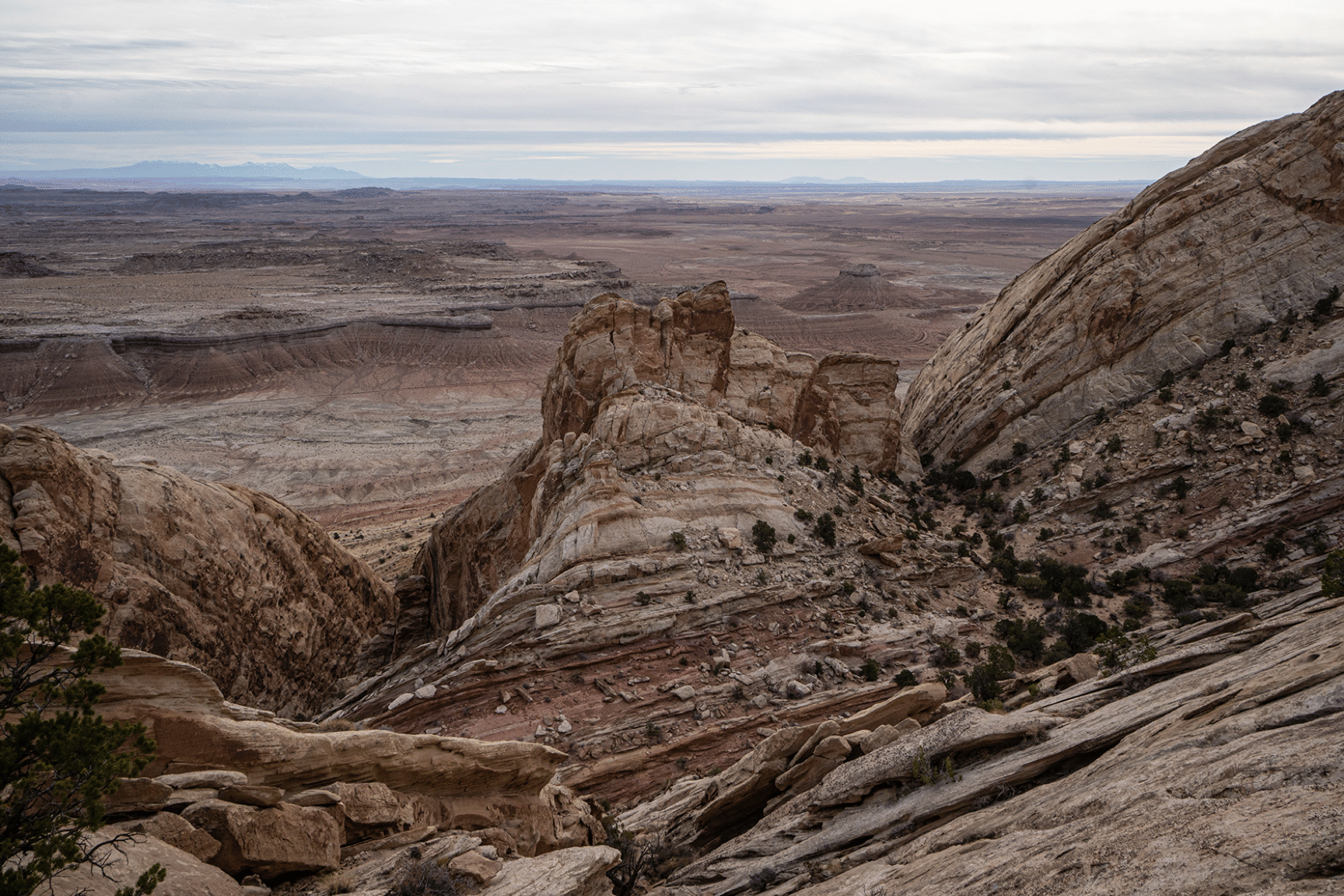
View of the top of Climber’s Slab; our descent was in the middle of the summit area. In the distance are the LaSal and the Abajo Mountains.
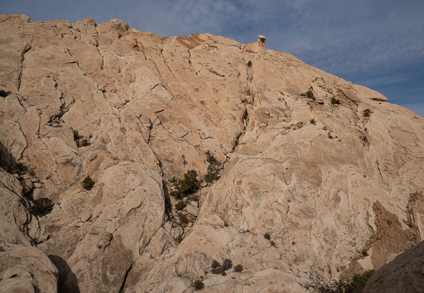
The upper slab with The Hammer prominent right of center. The arch is just right of Hamburger Rock, which is just right of the rock with the white bullseye.
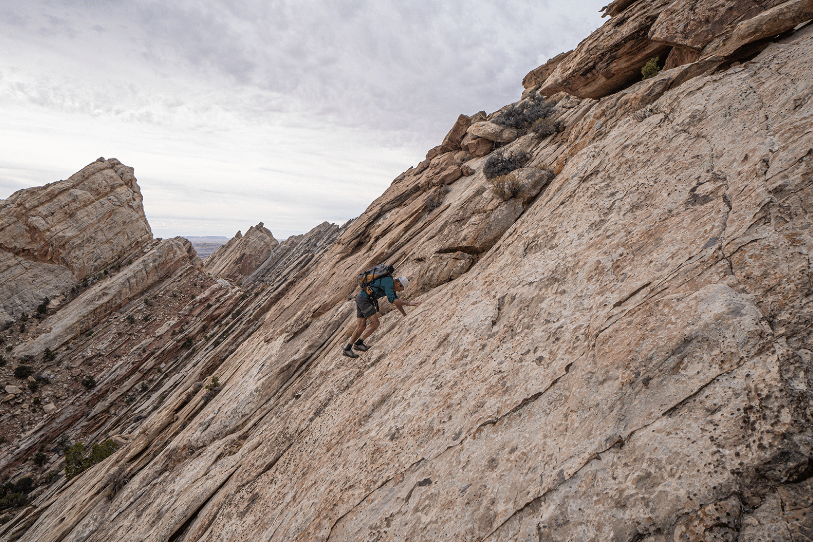
Bill Briggs scrambling up above the halfway valley. The broken slope on the left does lead to Mystery Arch by a scrappy route.
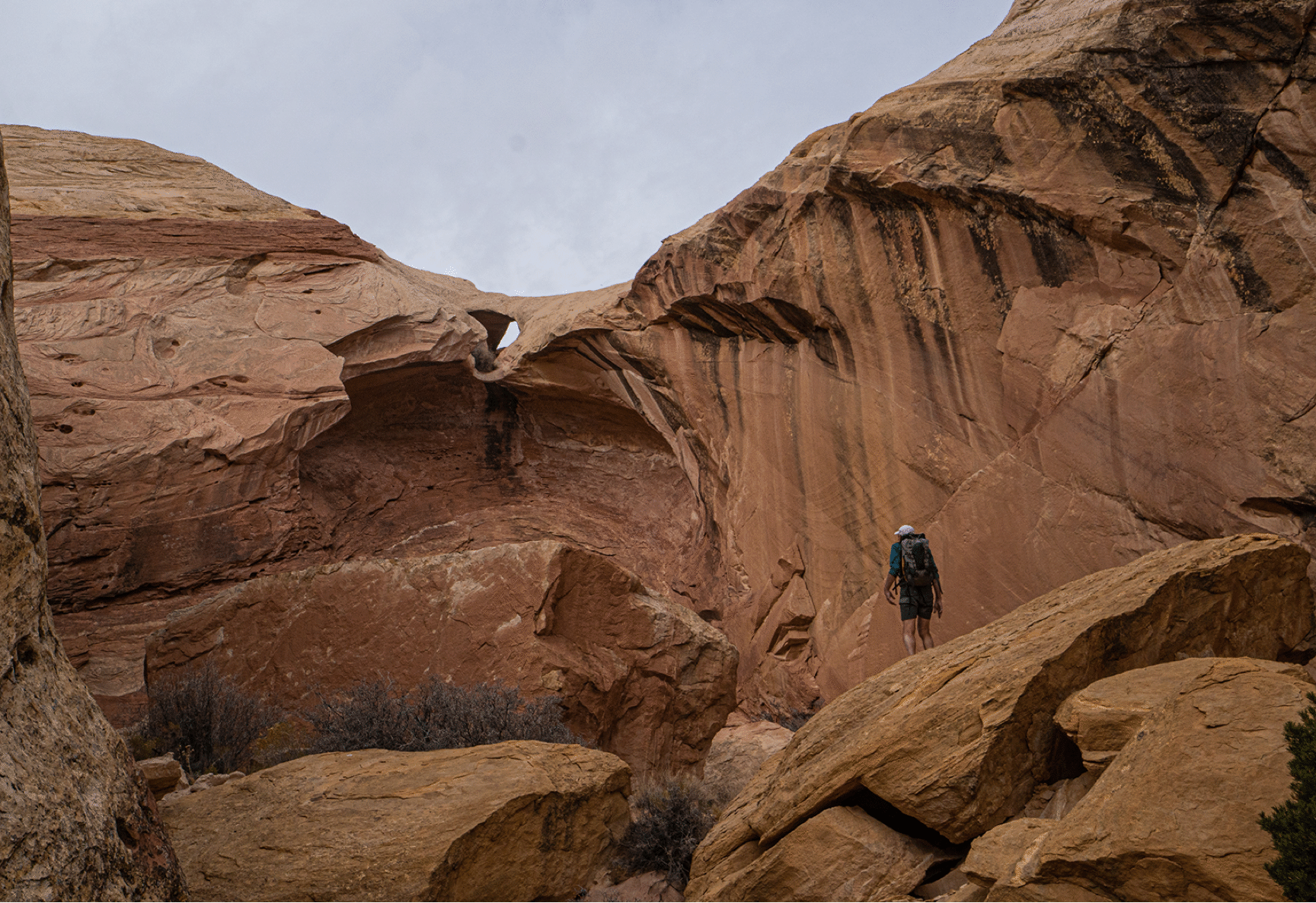
First view of Tip Top Arch and its alcove.
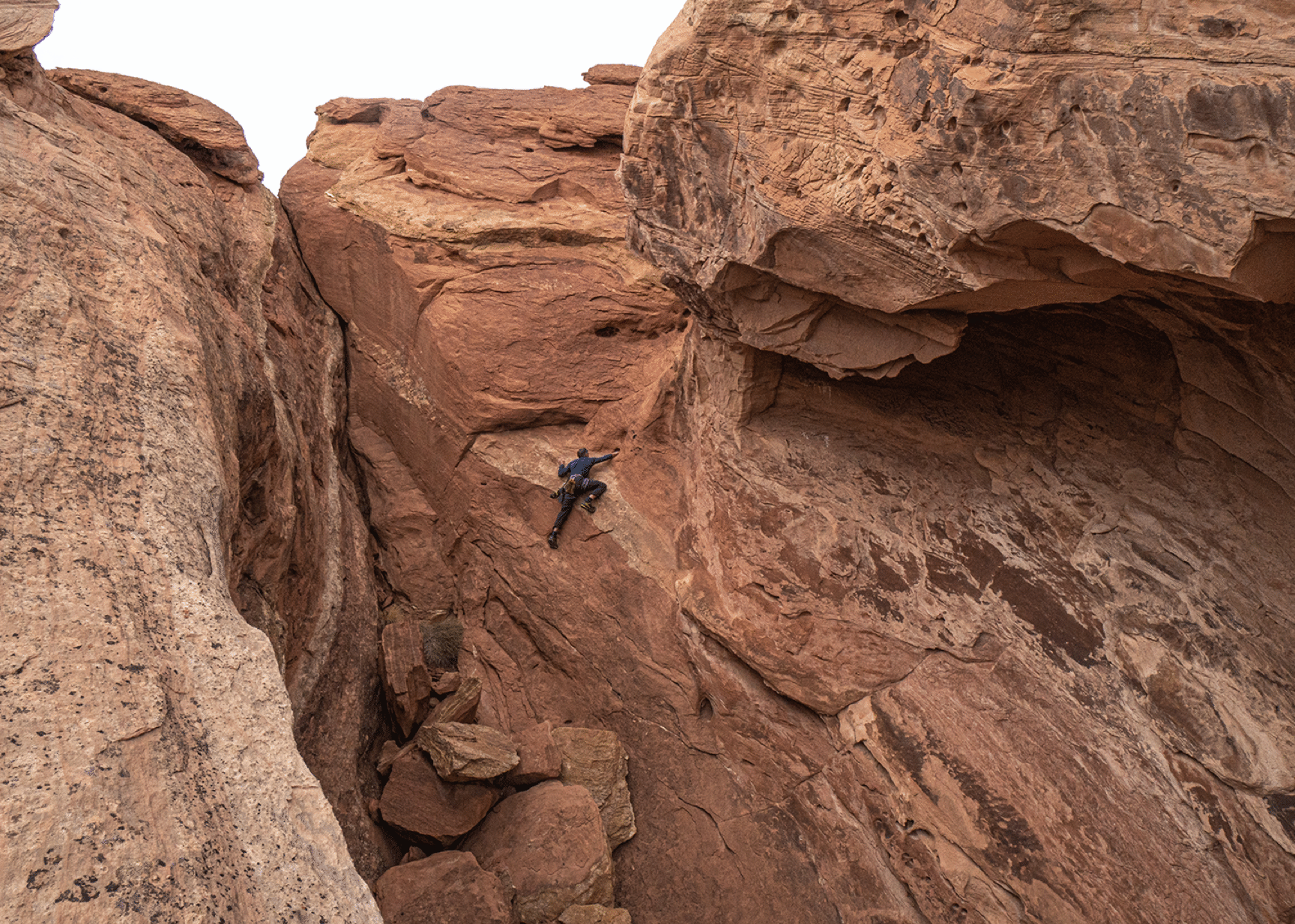
Jim Illg exploring (he turned back).
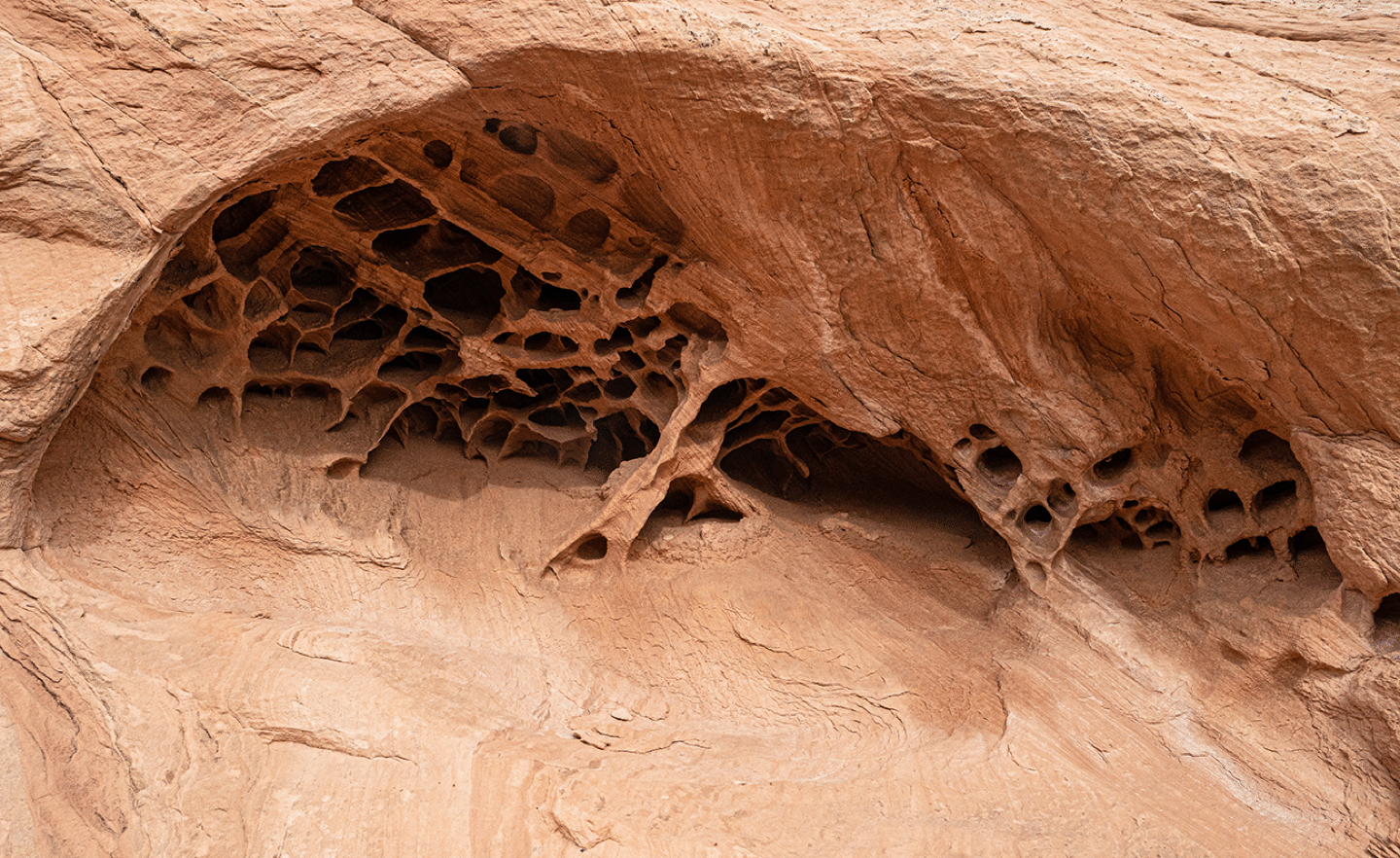
Nice tafoni. There was a lot of this near the top.
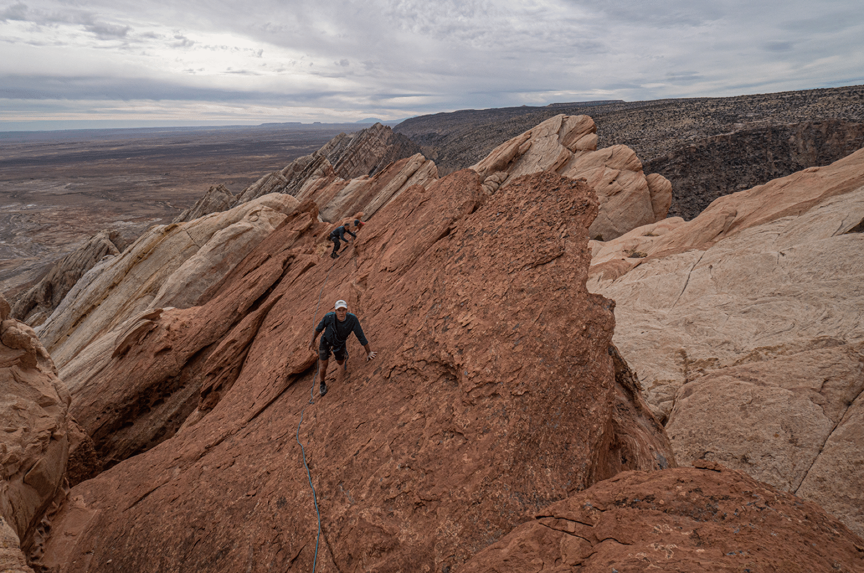
Scrambling on the ridge approaching the arch.
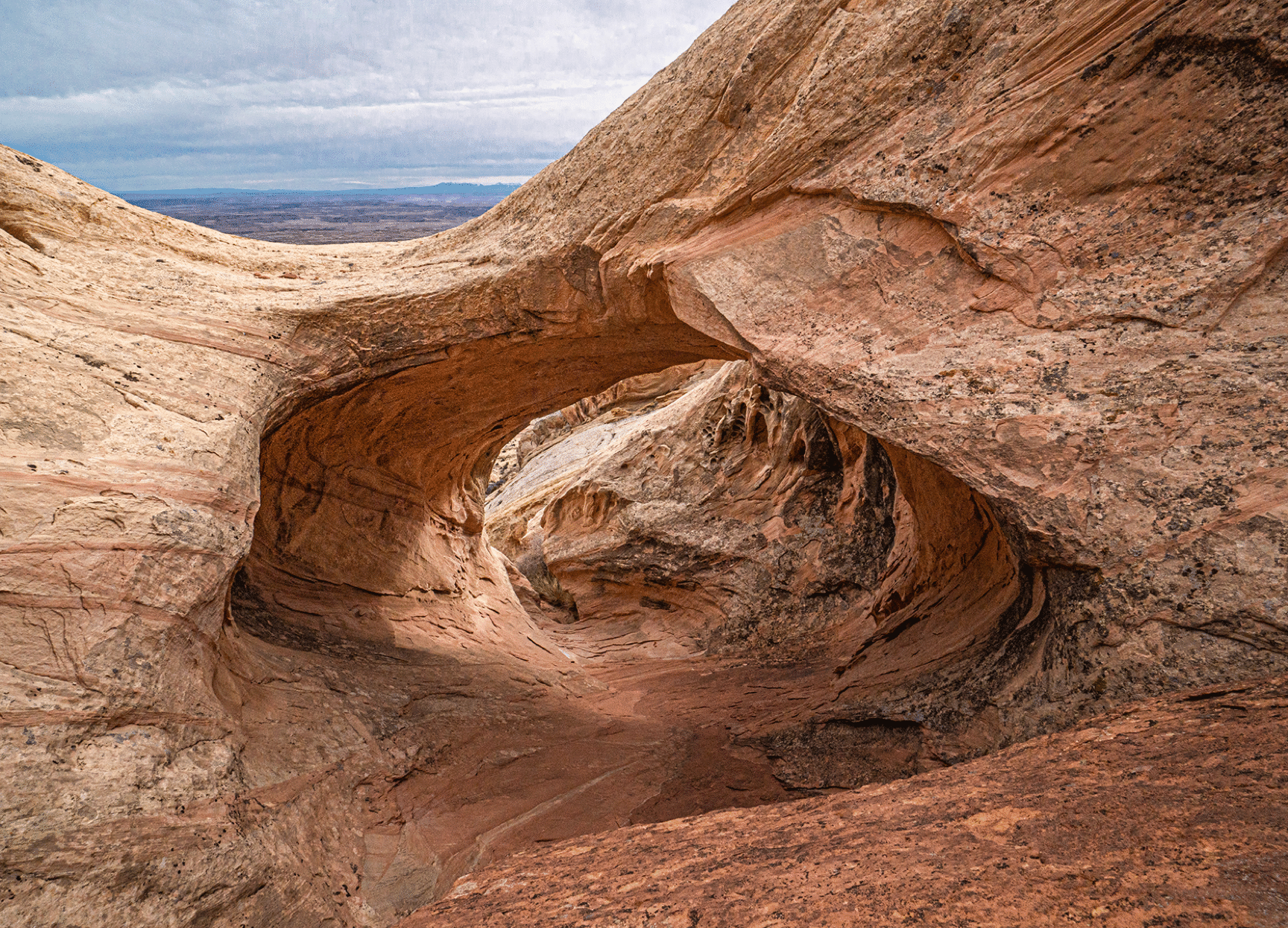
Tip Top Arch from behind.
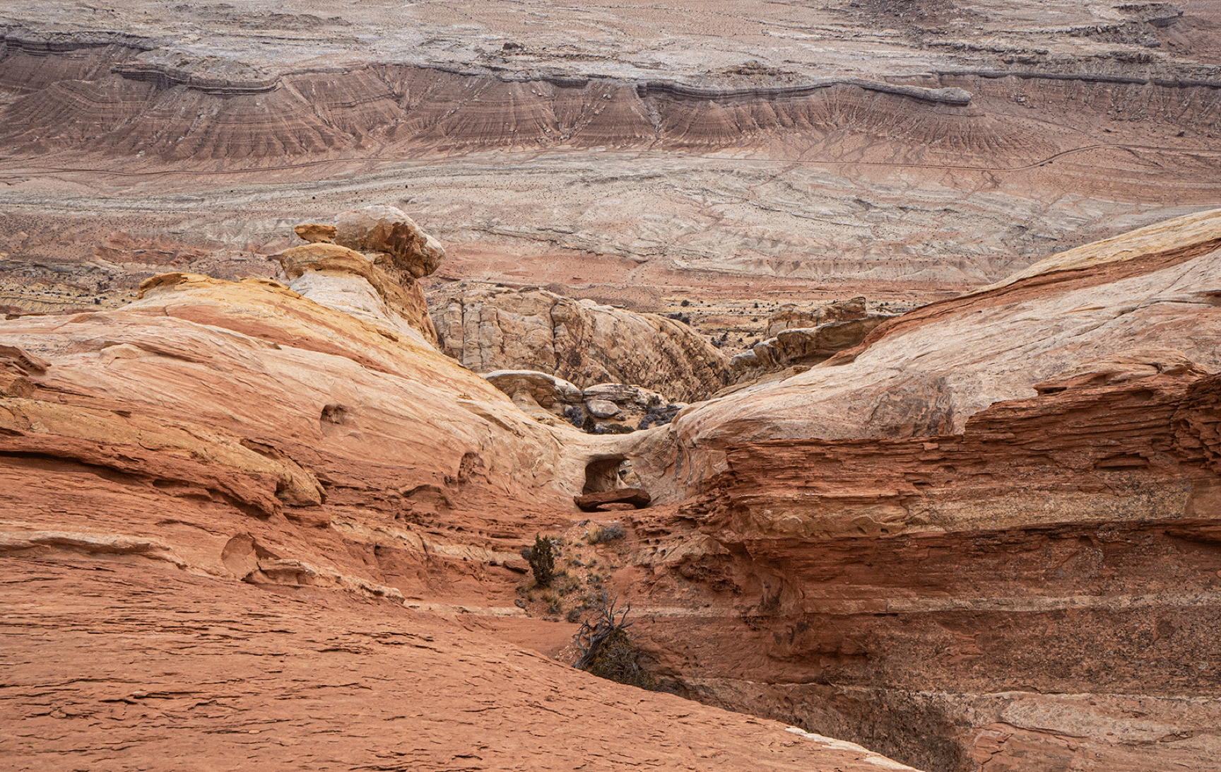
Tip Top Arch and The Hammer.
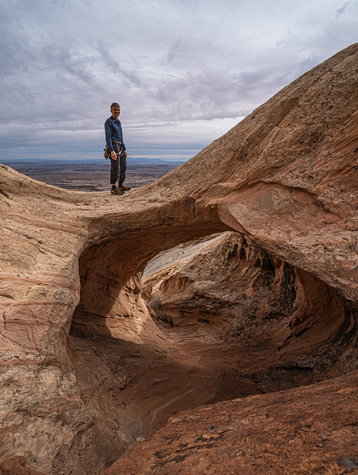
Jim Illg atop Tip Top.
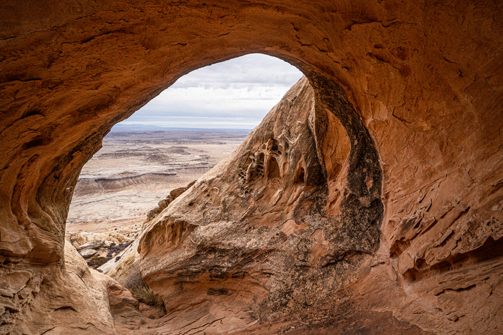
Tip Top close up.
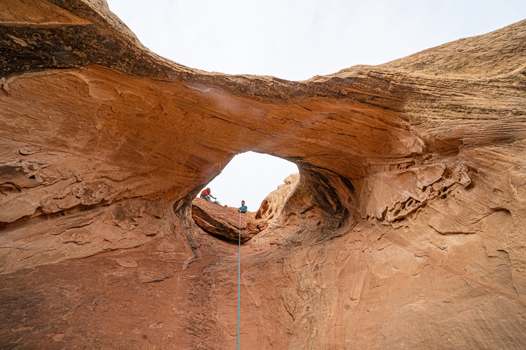
View back through the arch.
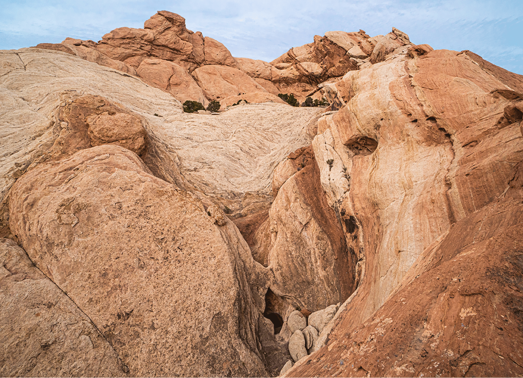
The amazing terrain behind Tip Top, with Hidden Moonshine Arch at bottom center. We named this to acknowledge the Moonshine Tanks which are marked on the USGS map at the base of the face. It is possible that we were the first to see this arch.
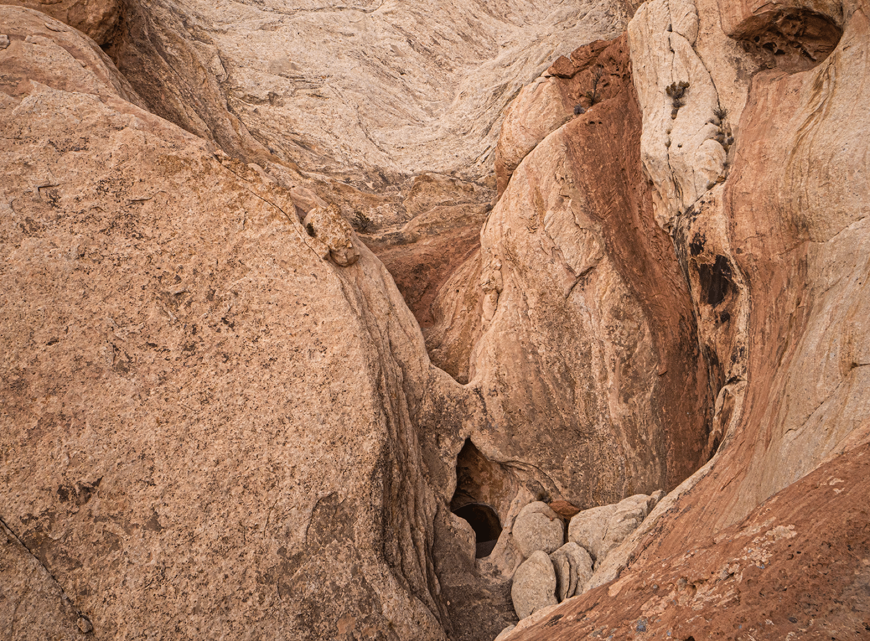
Hidden Moonshine.
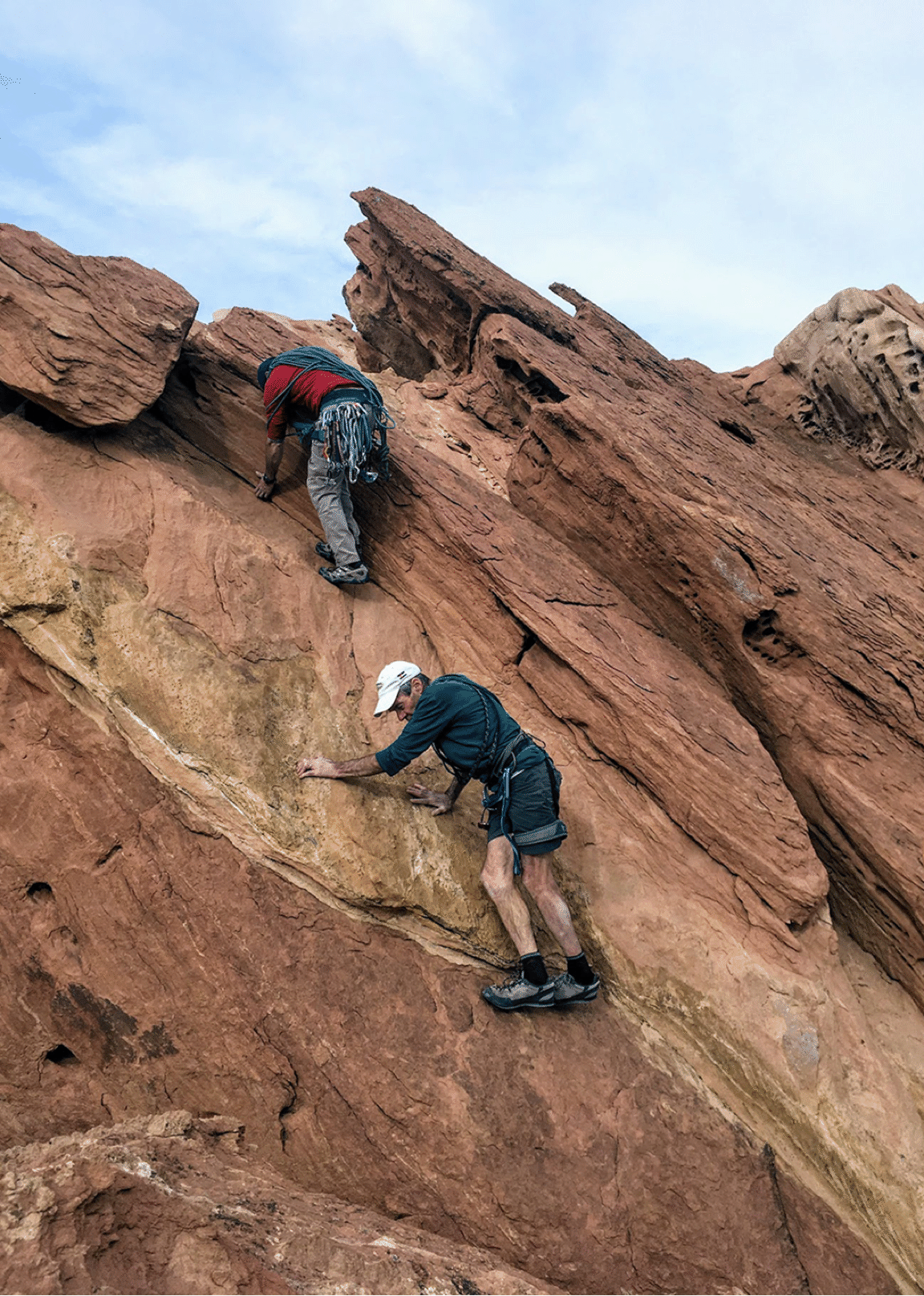
Returning to the alcove.
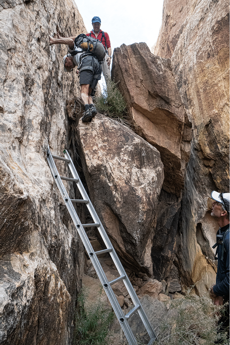
Finding this ladder was surprise. I guess we can call this Ladder Canyon.
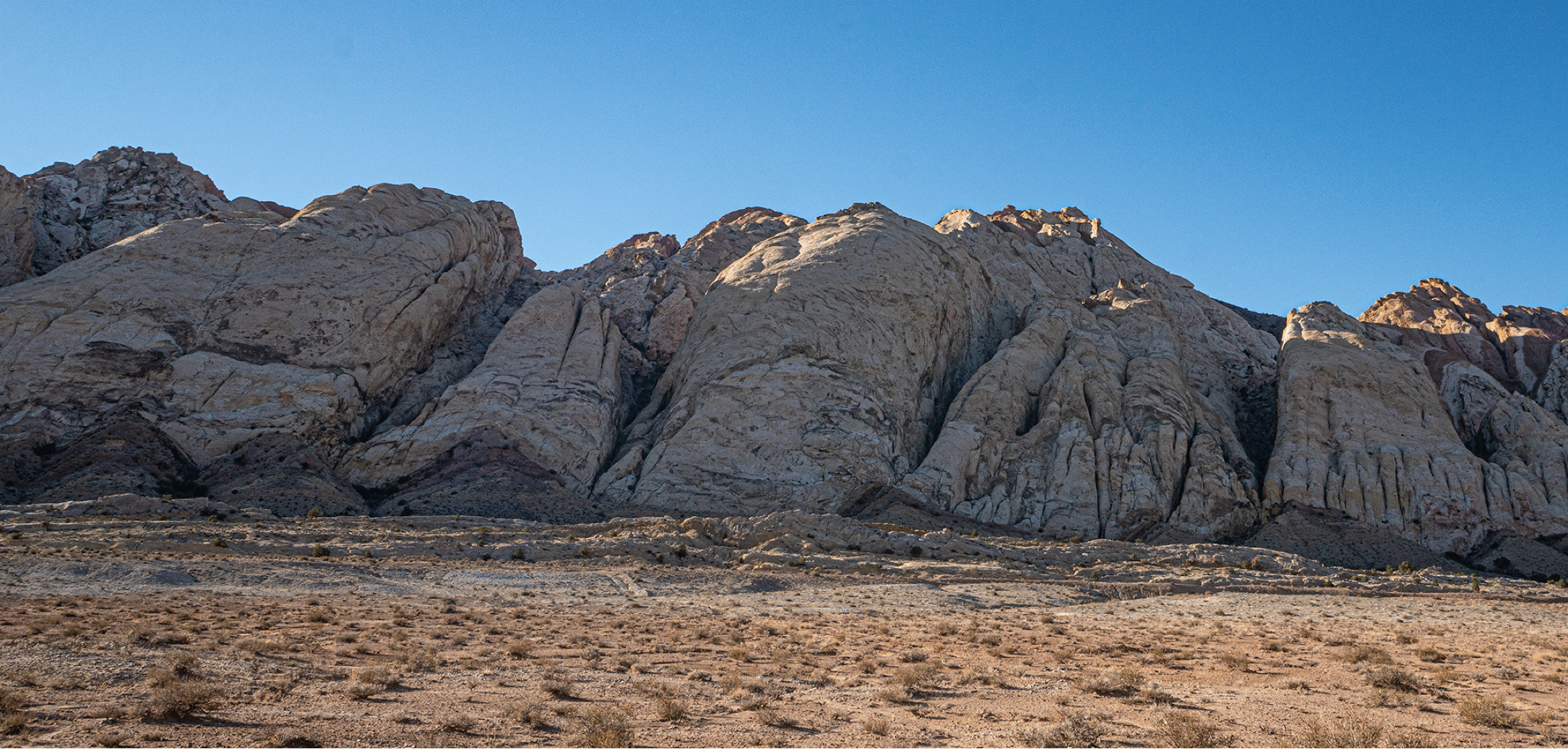
The view from our parking spot.