San Juan Goosenecks

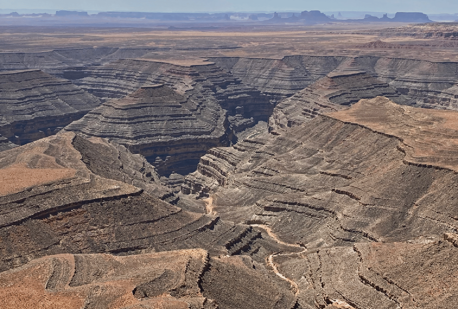
View of the goosenecks of the San Juan River with Monument Valley in rear. This is from a location about 3 miles east of the top of the Moki Dugway. Here the river is flowing from left to right, to reach Lake Powell and the Colorado just upstream of Rainbow Bridge.

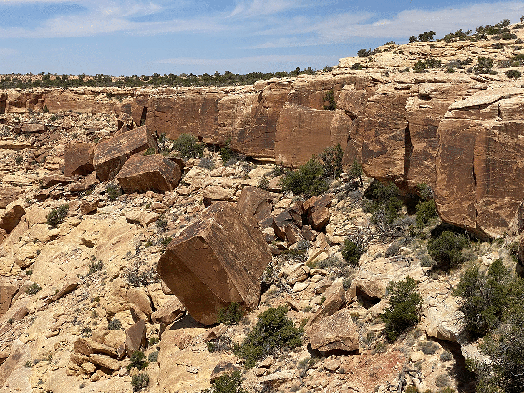
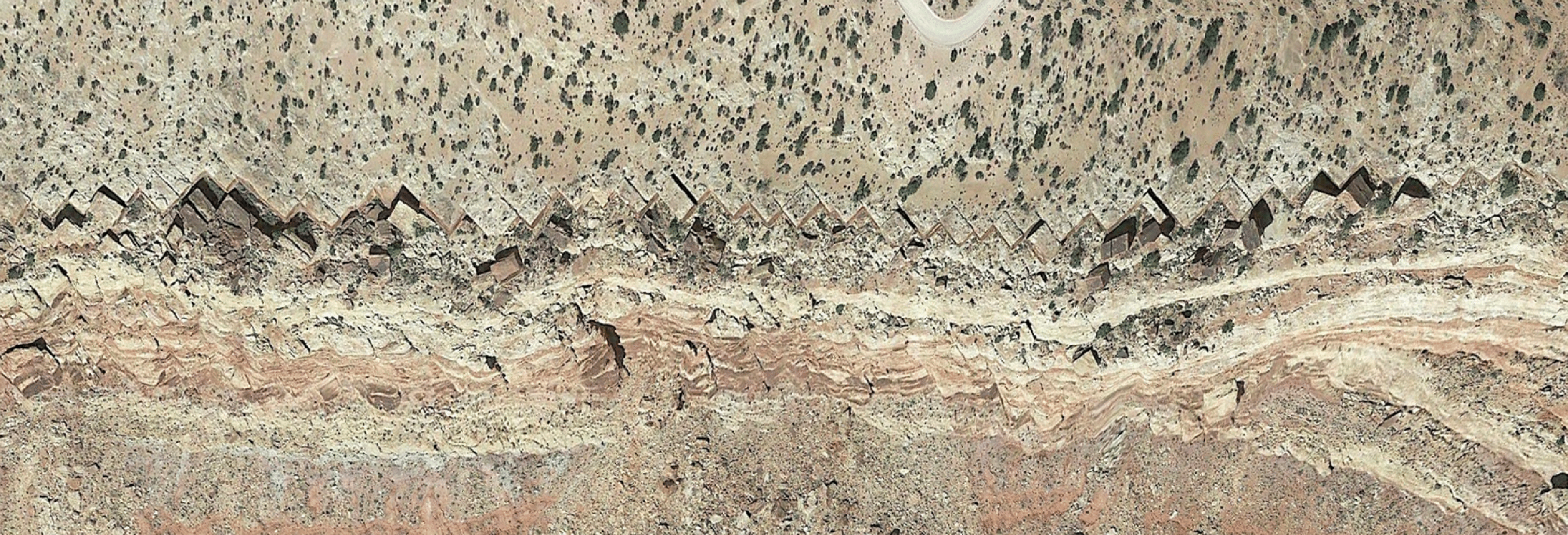
From our lookout spot we could see these blocks falling off the main cliff. This extended a long a way and the blocks were remarkably homogenous in size and angle, making a clear zig-zag pattern on the edge. The straight joint: lines extend back into the formation (see below). Maybe this is Cedar Mesa Sandstone. Below is an image from Google Earth which shows the fallen blocks and the almost exact sawtooth pattern formed in the area they fell from. It appears that the faults here run back to the upper left, though I cannot see them running to the upper right which would seem to be required for the square shapes being cut out.

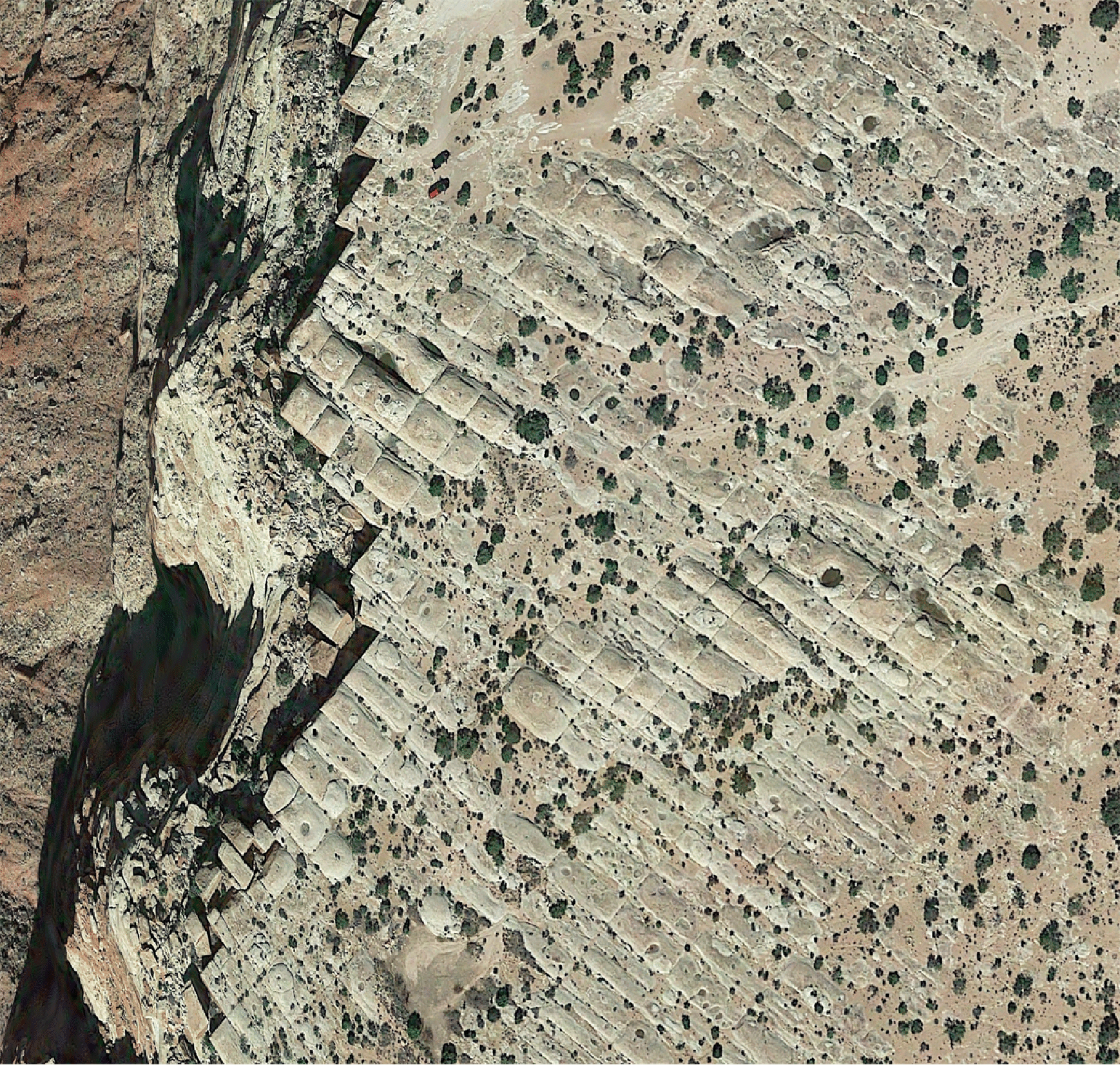
Better illustration: The rectilinear tiling is clear.
