Castle Rock Summit
Jonathan and I went for the summit of Castle Rock. At the start we had Kelsey’s Paria book and it does have a route description, but the absence of an index makes the book useless, and we could not find it. So we went in the obvious canyon SE of the Rock. We soon came to a steep wet slab that had to be bypassed. We went around it on the right but could not descend back into the main drainage until we descended the edge for a bit to a Class 3 descent into the drainage. From that point, the ascent up to the base of the ramp was straightforward. The entire route is never harder than Class 3.
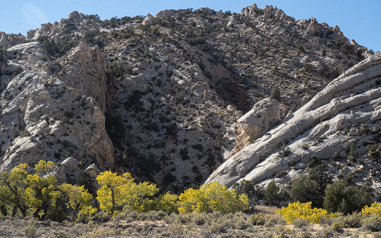
The approach canyon is in the center. The face and gully just left of center is how we returned to the car from the slope S of Castle Rock.
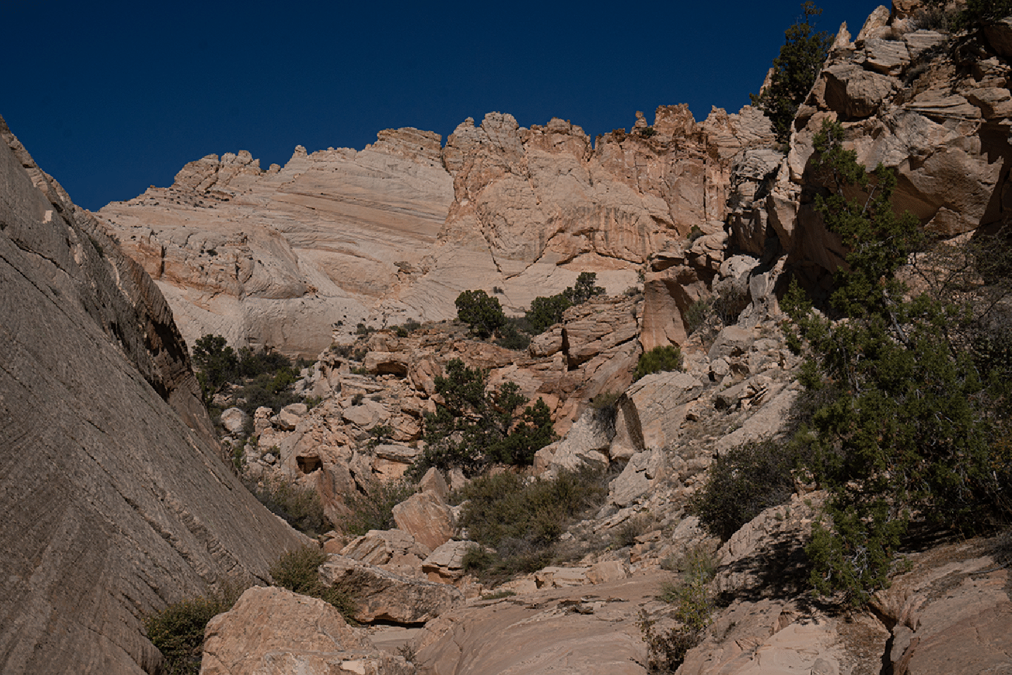
Nearing the end of the approach gully. The main ramp to the face is gained just beyond a prominent side drainage to the right.
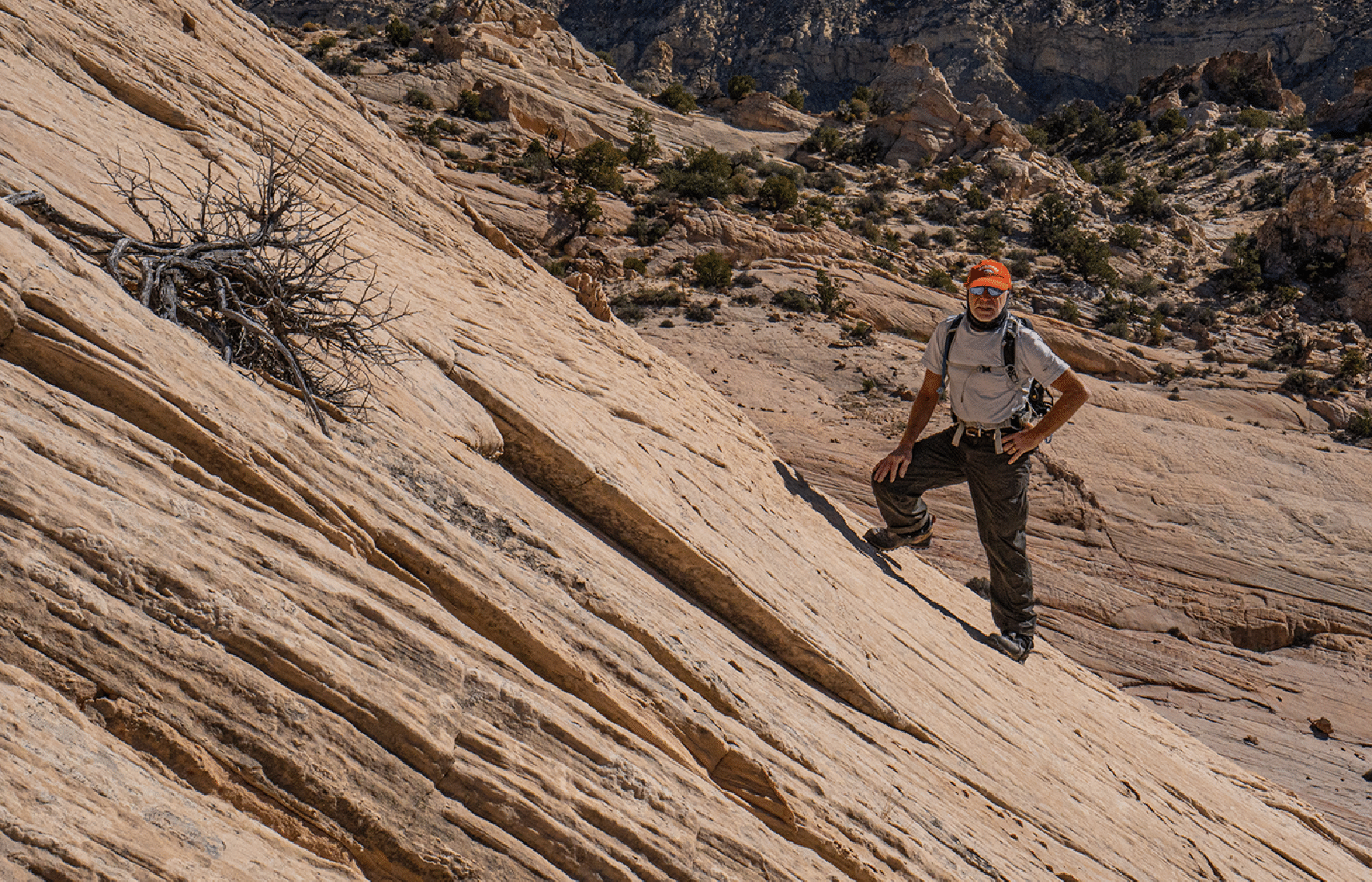
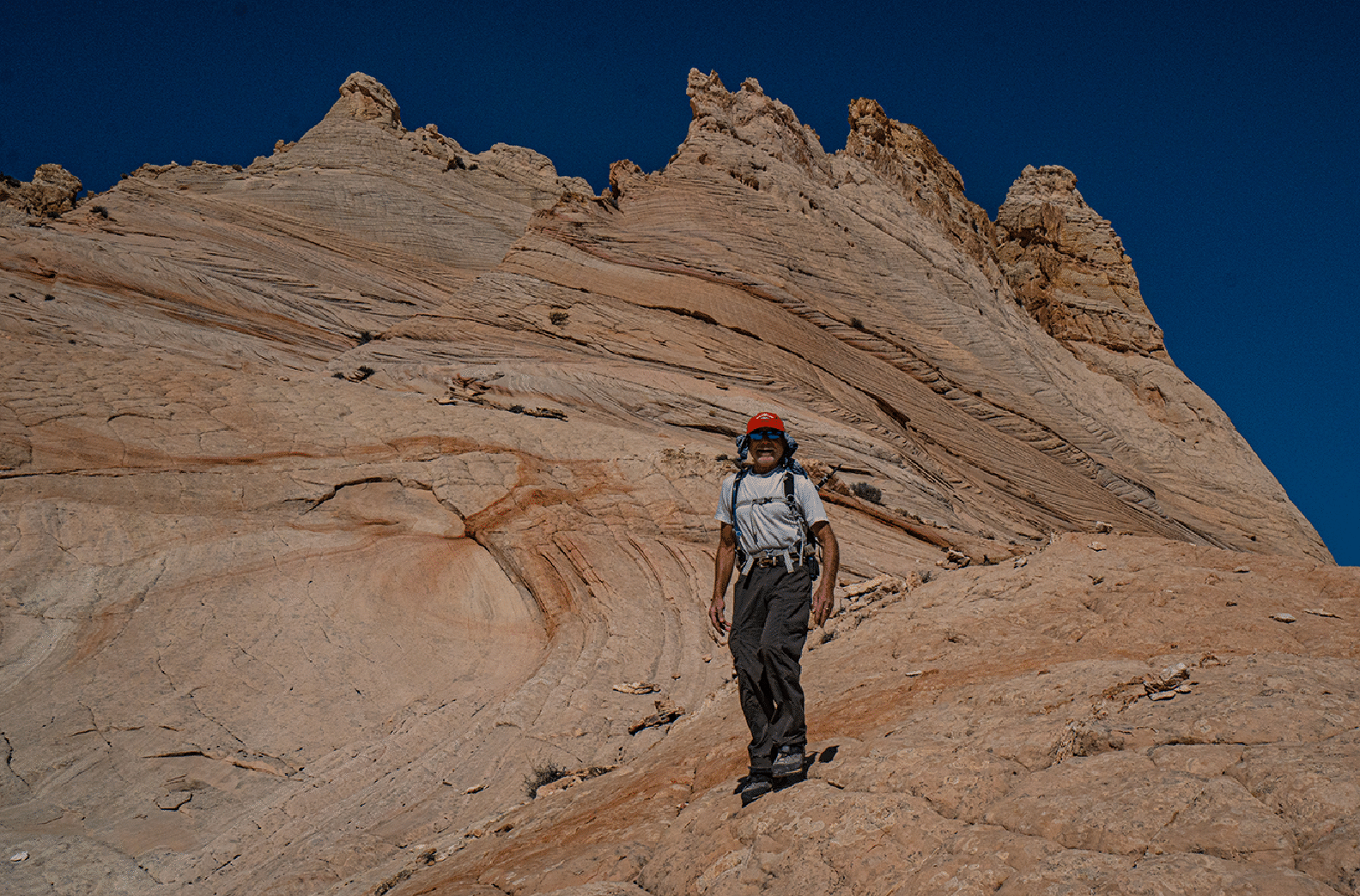
Ascending the ramp. On descent we avoided this steep section.
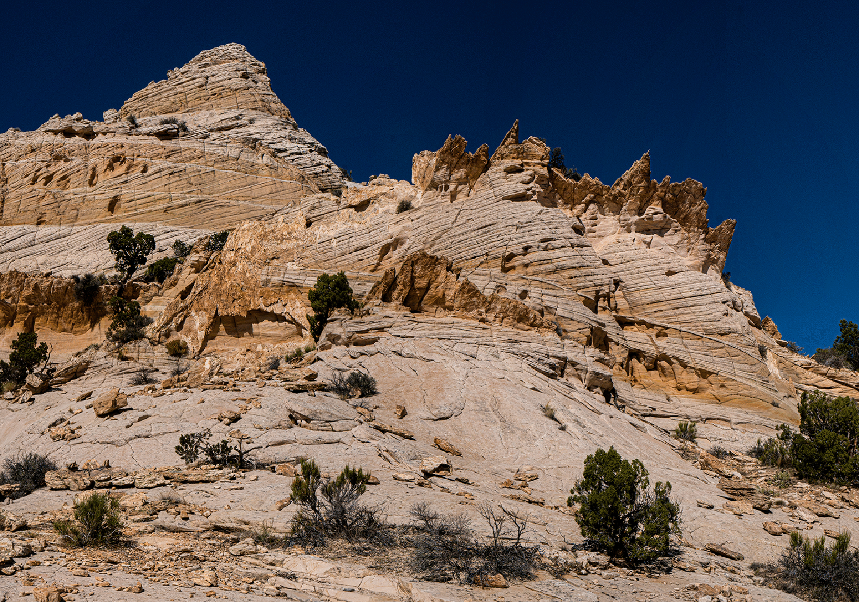
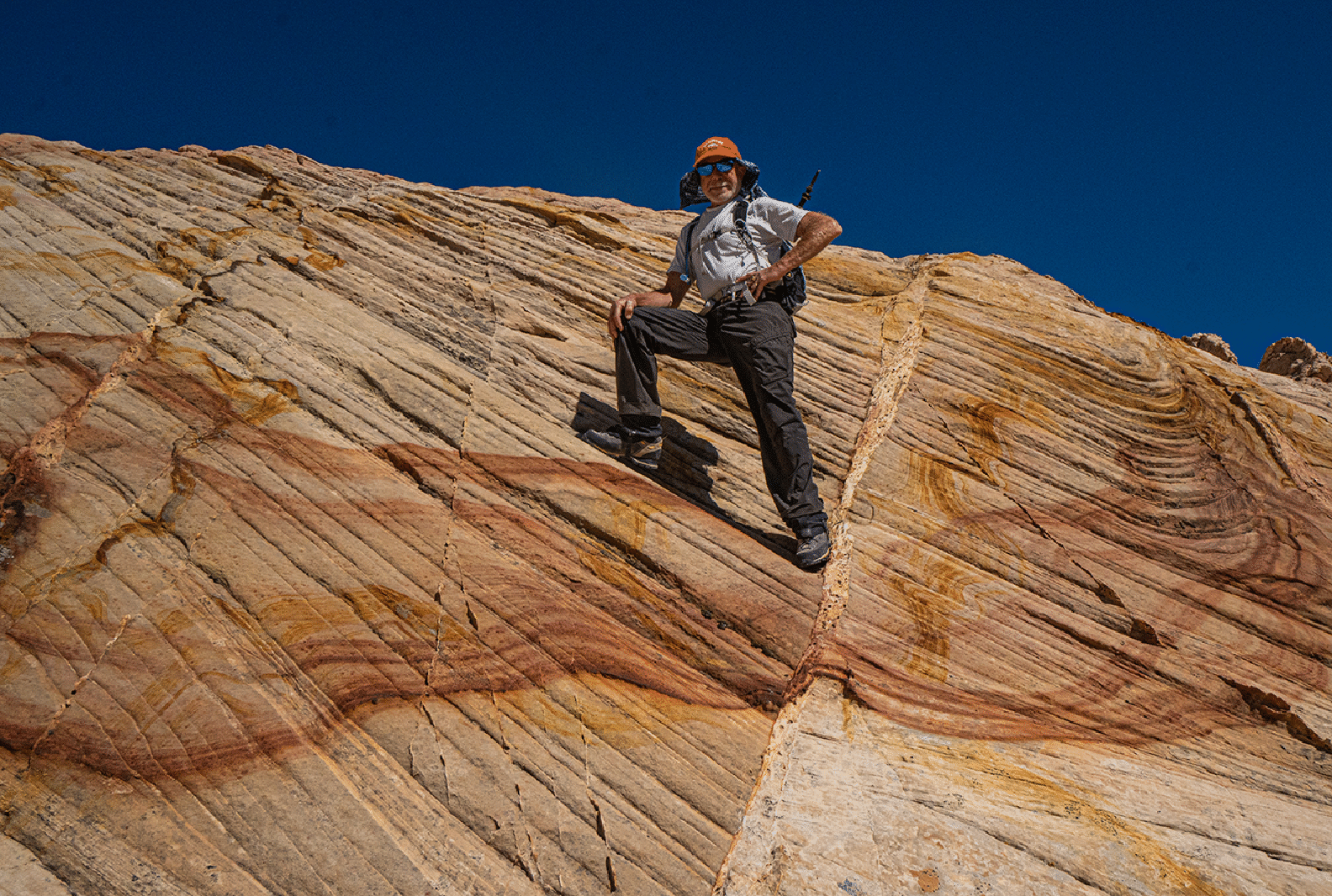
The amazing area below the summit; Navajo sandstone flakes.
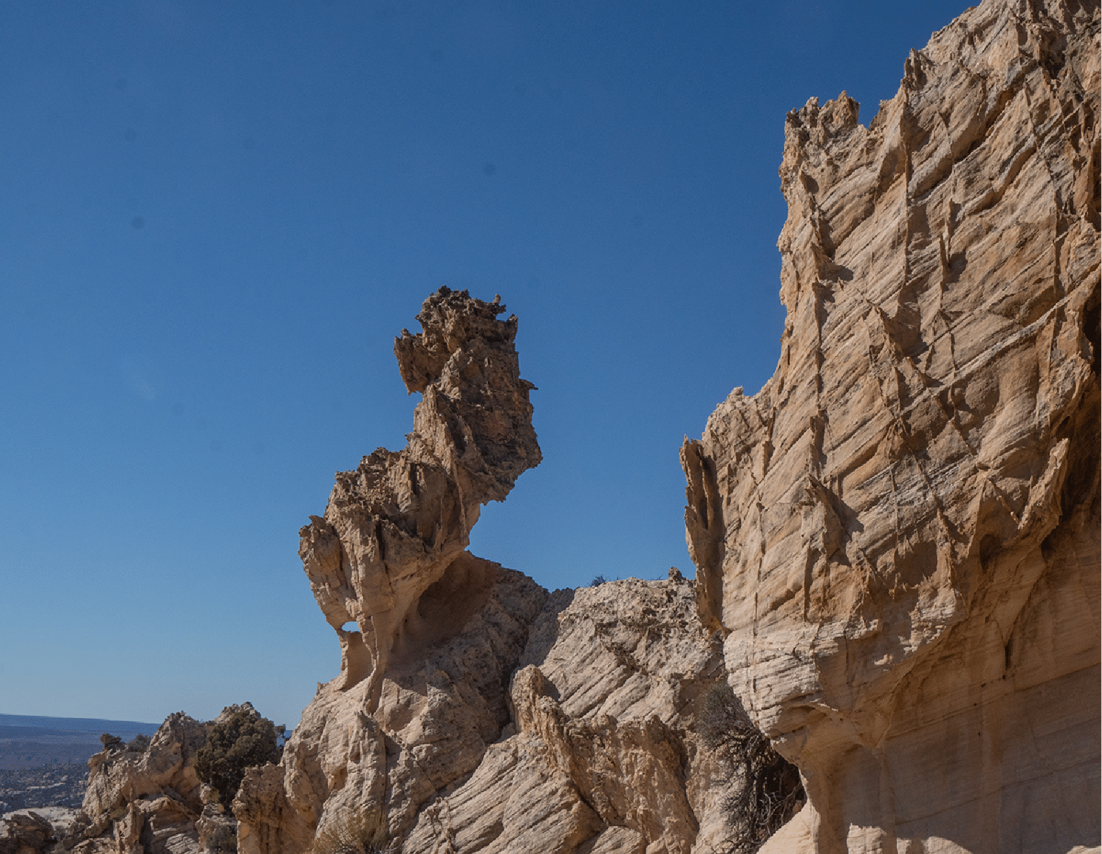
Seahorse tower near the top.
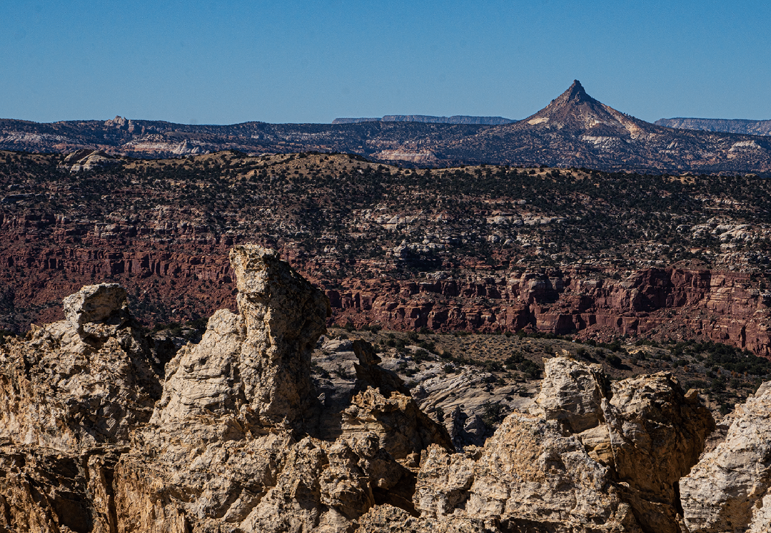
Looking SW across Hackberry Canyon and the Paria River to Mollie’s Nipple (which I climbed in October 2020).
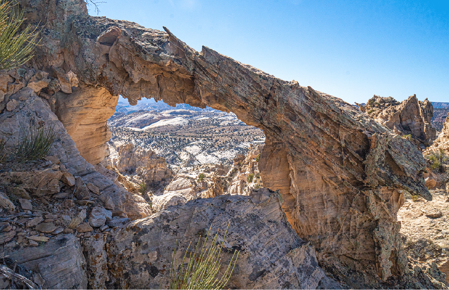
Just below our summit tower we found this nice arch (undocumented). We called it Castle Rock Arch and reported it to the World Arch Database. Through the arch, the farthest dome is YellowRock with Red Top just barely visible behind it.
Descending a nice section that avoids a steeper section we used on ascent.
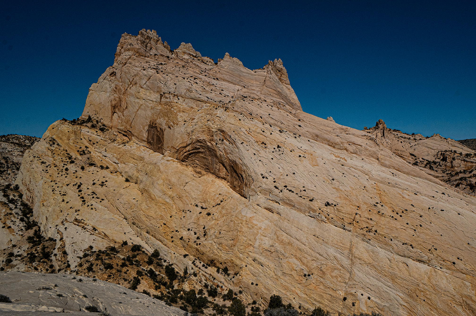
Castle Rock viewed from the hill to its south.
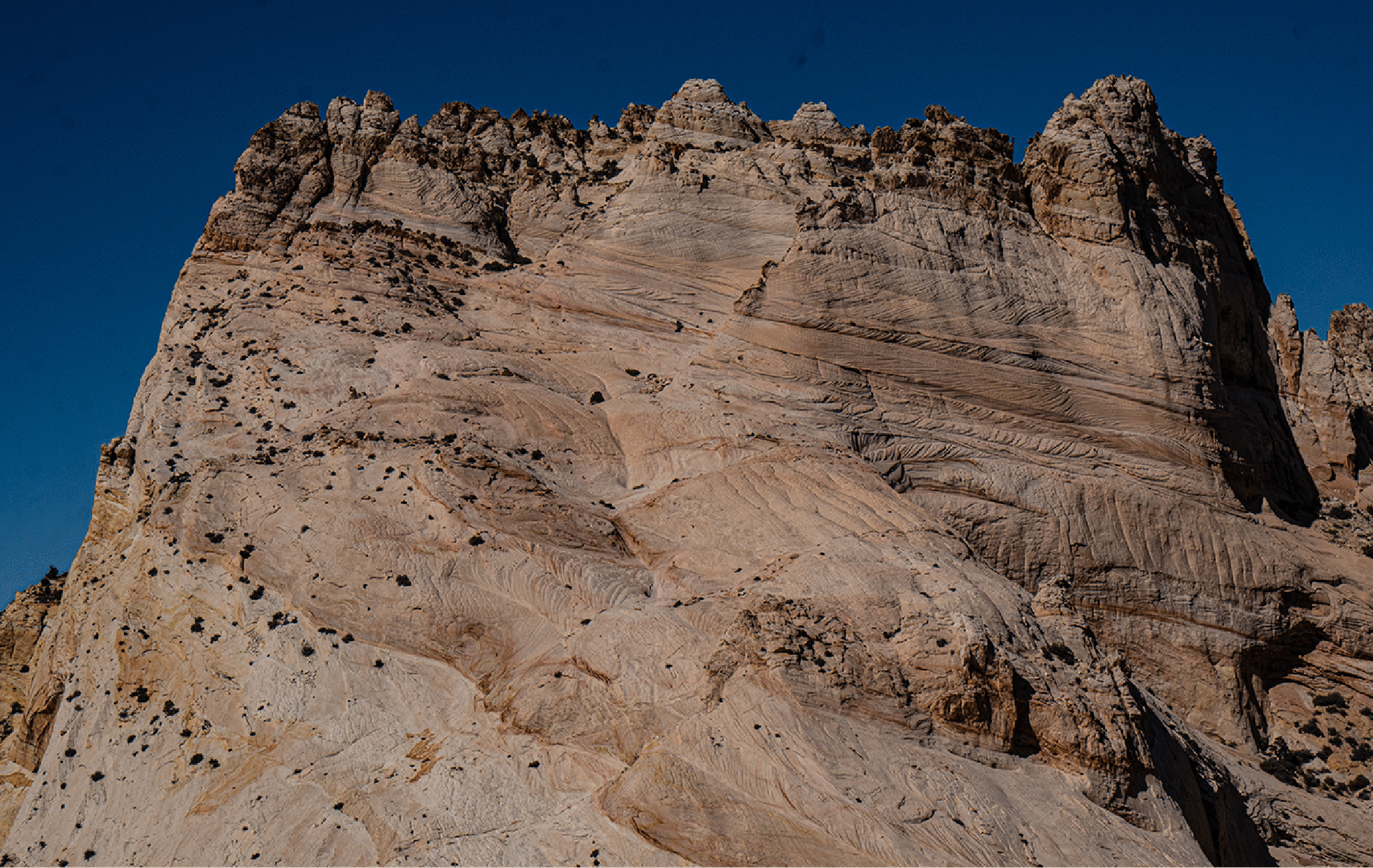
Zoomed view to the summit area. The ascent route goes around the corner left of center below the summit.