Water Canyon and the White Domes
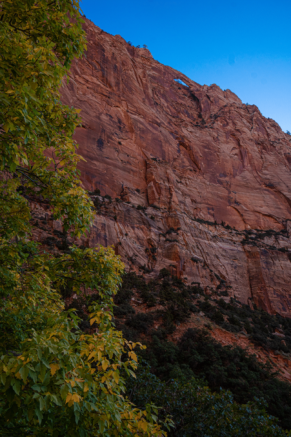
Water Canyon Arch appears high on the right as one starts the hike. One can reach this arch by the Squirrel Canyon trail. We had a long day in front of us (it would be about 9 miles over 8.5 hours), so started relatively early.
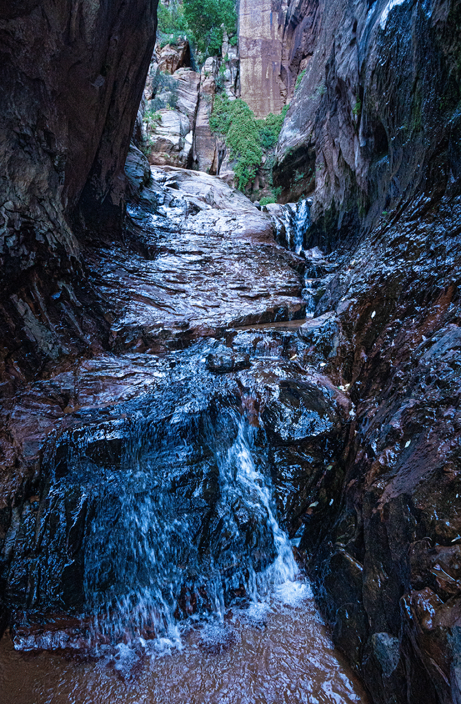
The amount of water flowing in Water Canyon was impressive. So the name is appropriate. But what is the creek called? Water Creek seems silly. I am not sure it has a name. Maybe it is part of “Short Creek”.
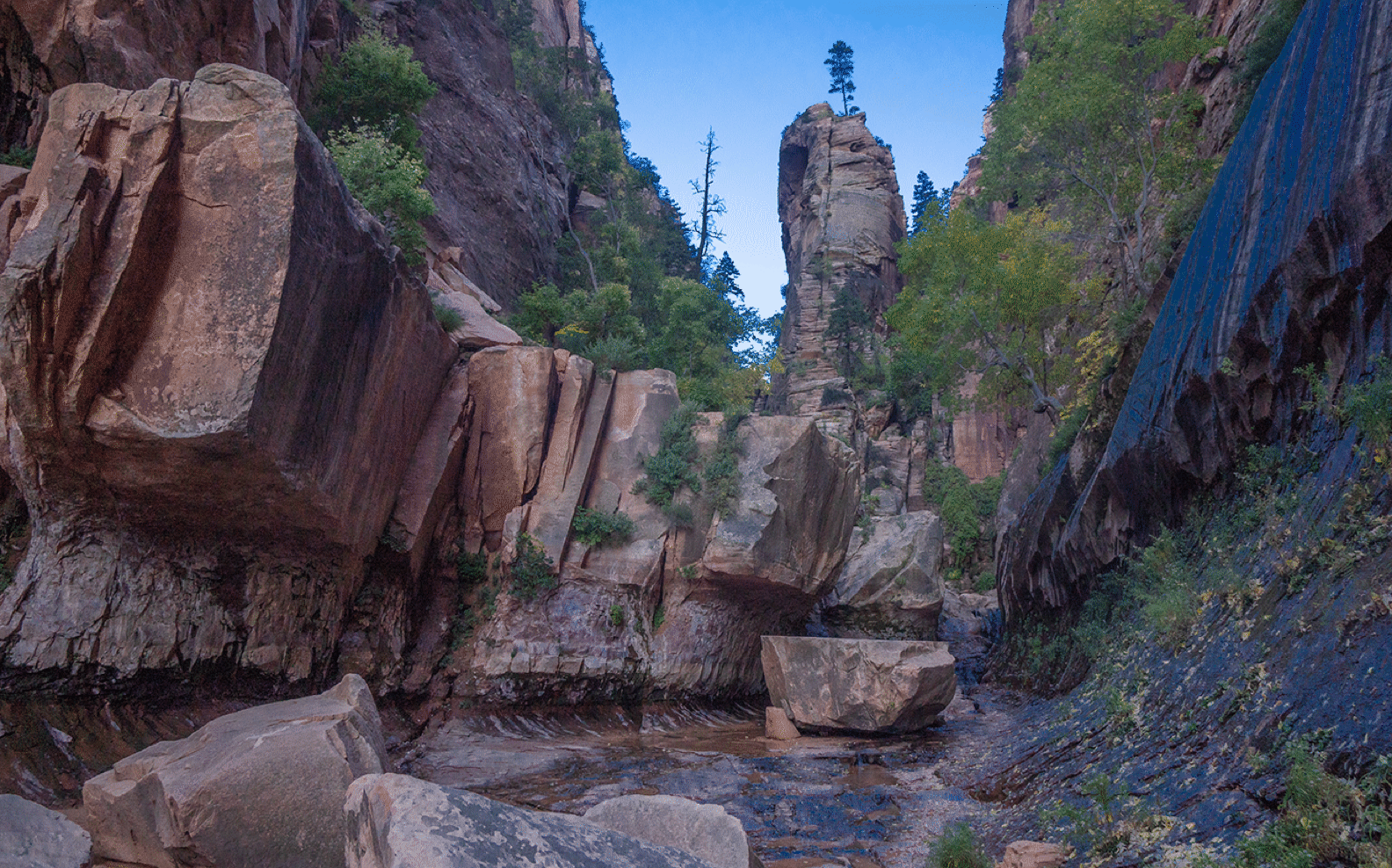
This image took some careful editing because the sky was washed out in the original.
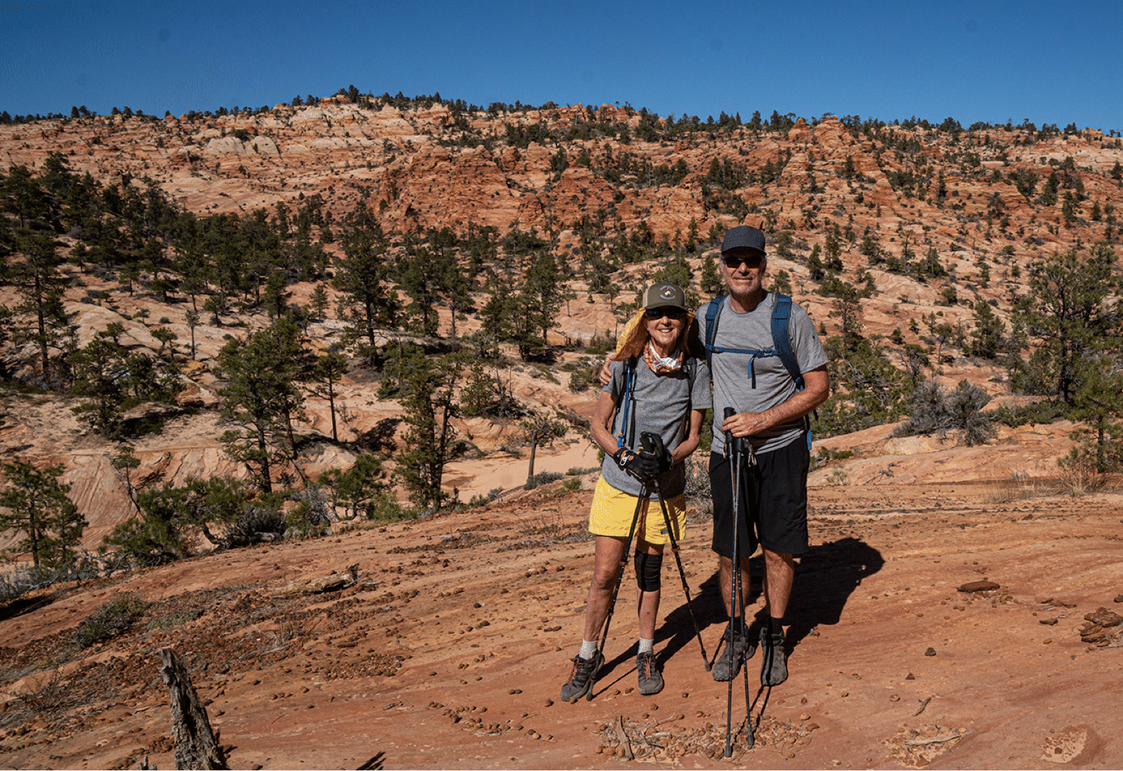
This portrait of Bob and JM was taken on descent, but shows well the ridge we followed (right to left) to reach the White Domes.
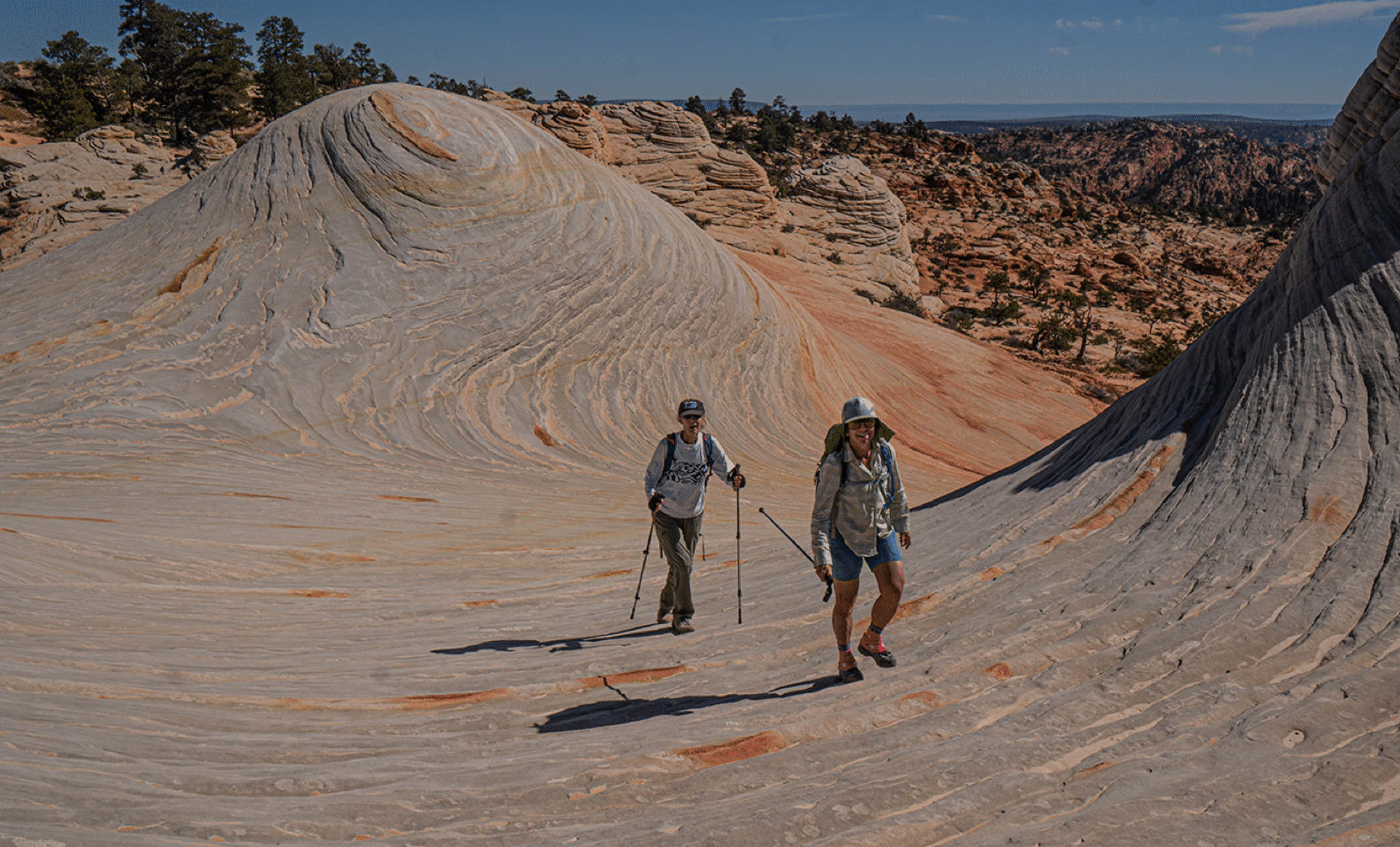
It was a relief to finally reach the domes as the hike was becoming tedious along the ridge we used for the approach. These domes are at just under 7000 feet, so there were broad views in all directions. Elke and Janet above.
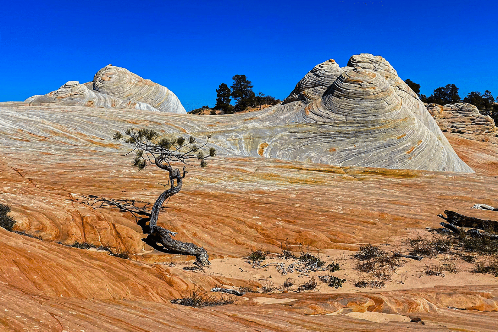
Ponderosa pine and domes. (Photo by Elke Dratch)

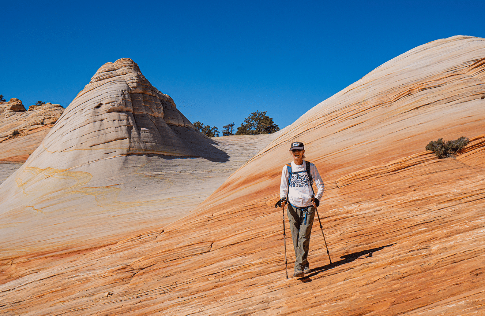
Janet.
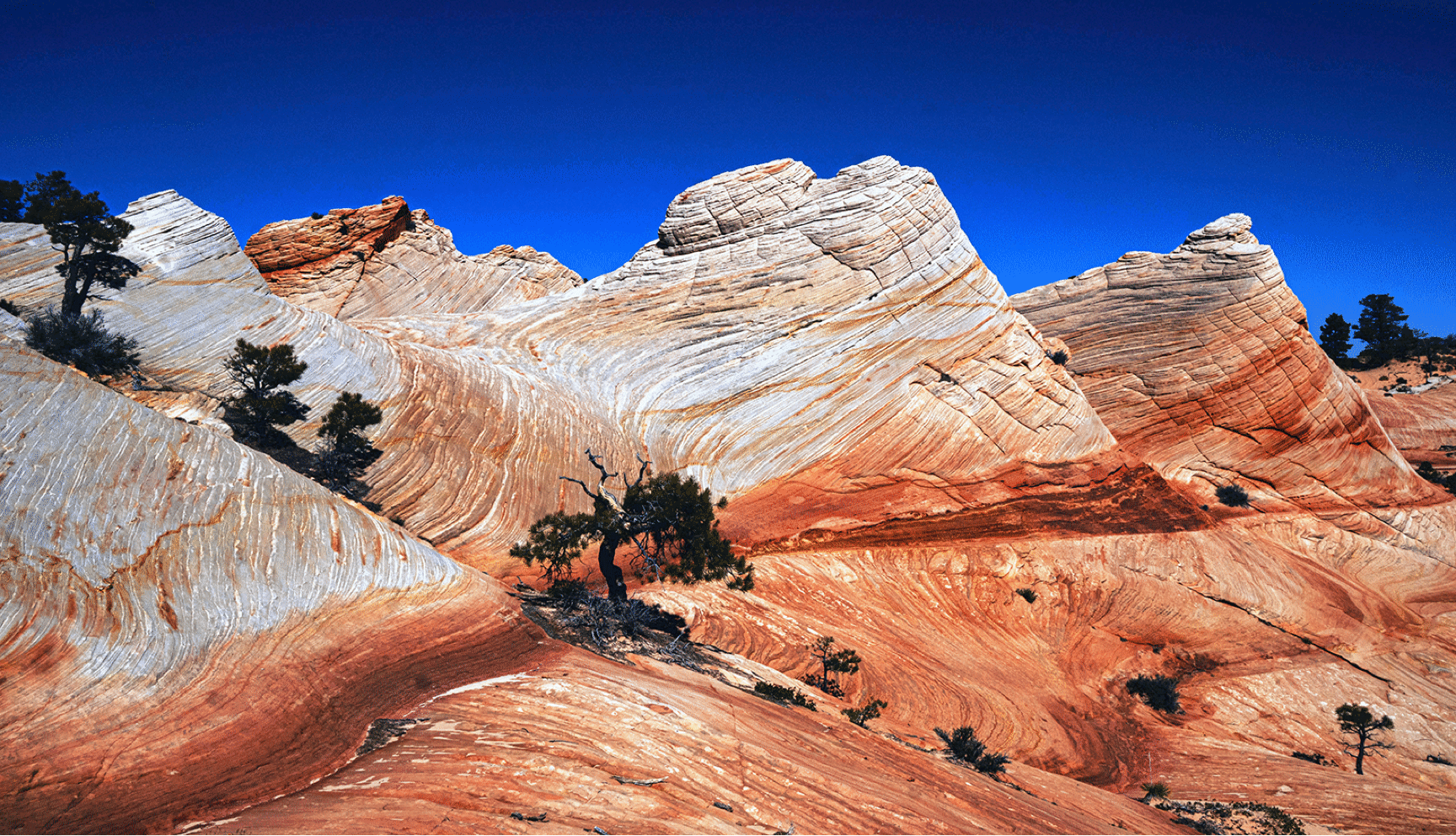
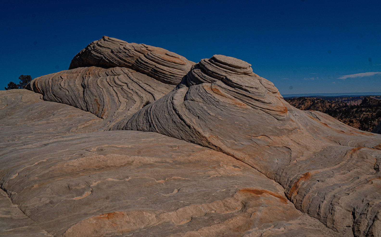
My favorite view of the domes, taken as we were leaving the area.