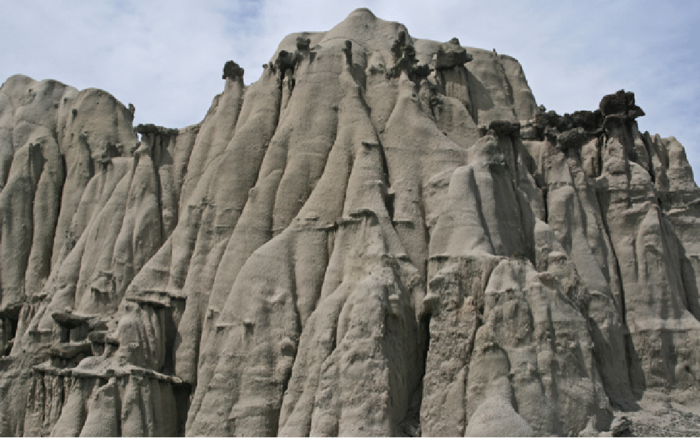
Goblins
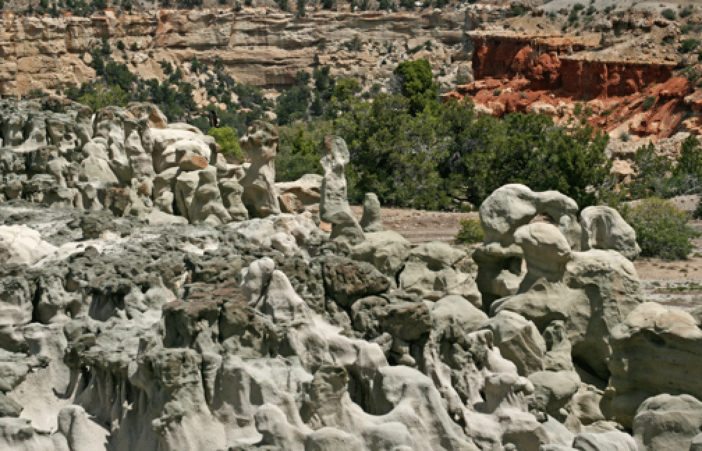
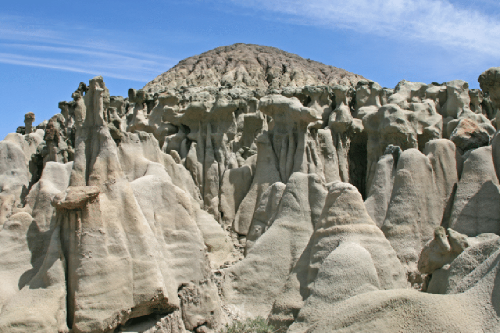
After a 23-mile drive west from DeBeque, Colorado (east of Grand Junction), one comes to an amazing collection of eroded sandstone shapes called The Goblins. While not as spectacular as the similarly named feature in Utah's San Rafael Swell, they are worth a visit. After communing with the goblins one can hike to the top of 8000-foot Corcoran Peak. A climb from the north side leads to nice views on the way up. One can reach this area by driving from Debeque either south or north of South Shale Ridge. The two times I have done this we have gone in on the south side and out on the north. But in fact the northern way is much shorter and the roads are much better. The goblins are right by the road, on either side of the road. Our second visit was on May 13–14, 2009, when we went to Goblins one day, and then Rattlesnake Canyon the next.

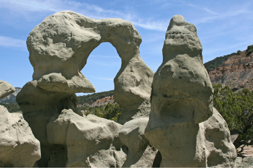
The preceding shot shows the difficulties of determing scale from a photograph. The height of this feature is about 12 feet.
For Rattlesnake Canyon we headed toward the west side of the canyon, so as to photograph the ridge (sometimes known as Crocodile Point) of arches from a distance. I think this side of the canyon is seldom visited.
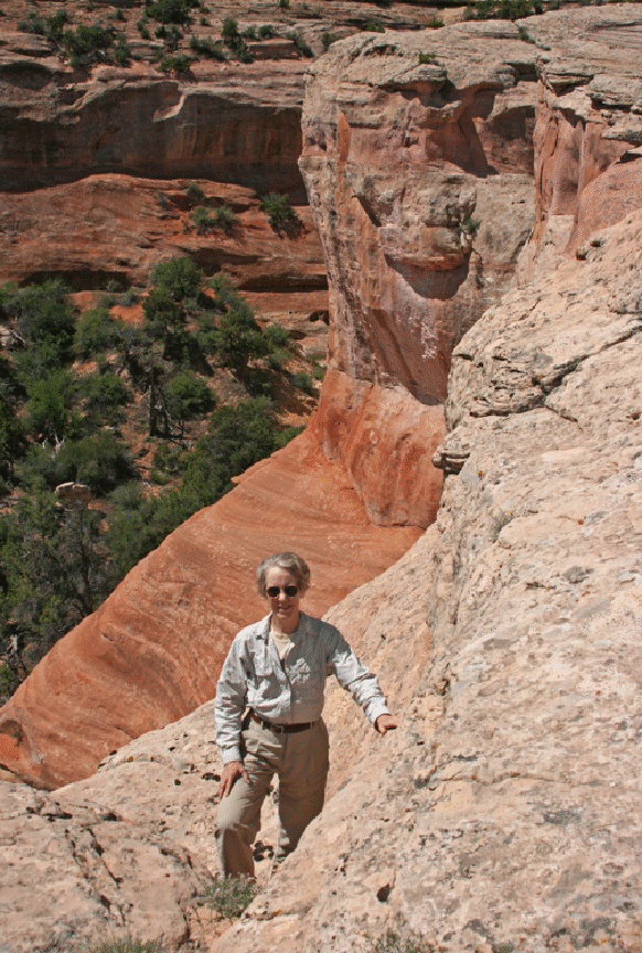
We found some nice domes on the rim; here is Joan in the middle of them.
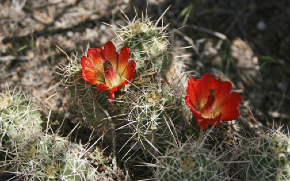
There were lots of flowers.
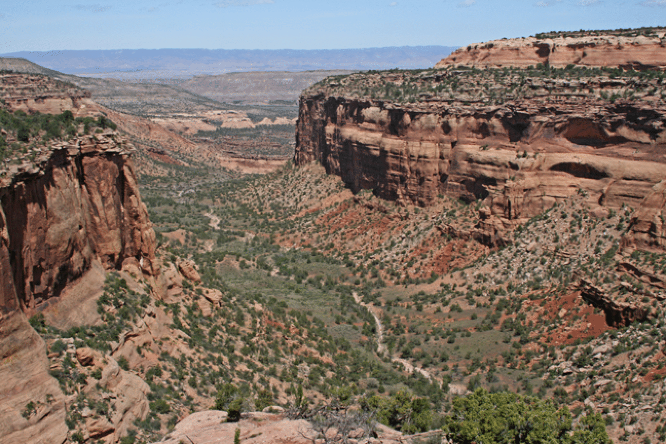
Here is a view of Rattlesnake Canyon, looking down toward the Colorado River.
And the point of the hike: a nice panorama of the ridge with the arches. It takes careful looking, but one can see two of the arches in this panorama (near center), which I am leaving wide here, as that is the point of this image. I have never seen an image of this ridge from the west, so I think the effort was worth it. To see the arches close up one can hike to them from near the Colorado River (15-mile round trip) or drive in from above to within a couple of miles (consult Colo. Natl. Monument visitor center for details). I have done it both ways.
