As we did last year, my wife Joan Hutchinson and I spent a week (April 24 - May 1) at the LaLuz house in Escalante doing day hikes, and then she returned to Silverthorne, Colo., while I went on a long backpack (6 nights, May 1-7, 2010).
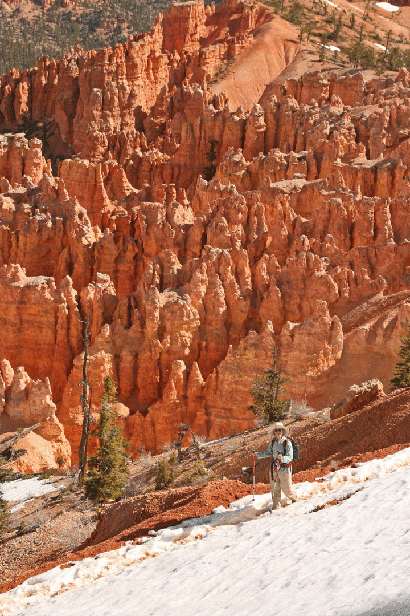
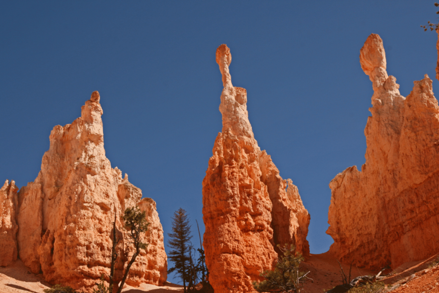
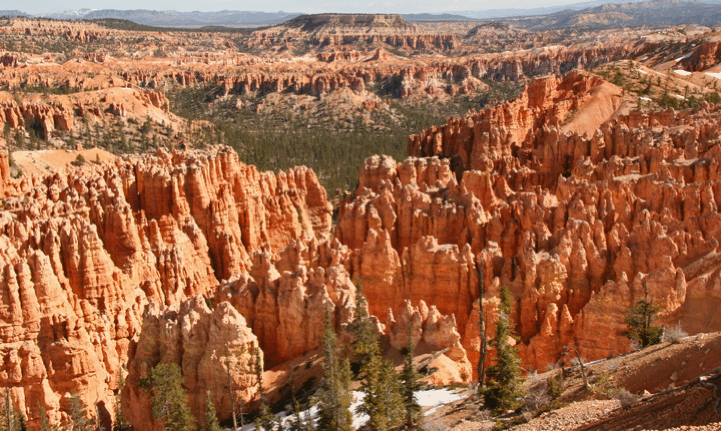
Sun April 25: Joan and I drove over to Bryce National Park and hiked the 5-mile Peek-A-Boo loop from Bryce Point. This is a spectacular trail, winding in and out and around lots of spires, tunnels, and windows. There was a lot of snow and mud, but also a lot of dry trail. Then I did a 4-mile out-and-back on the Fairyland Trail; the running was good and I got to see Tower Bridge, a nice one.
Looking at a geology book, I learned that Bryce Canyon is not a canyon at all but an erosional area known informally as Breaks: The plateau breaks down as it form tributaries of the Paria River.
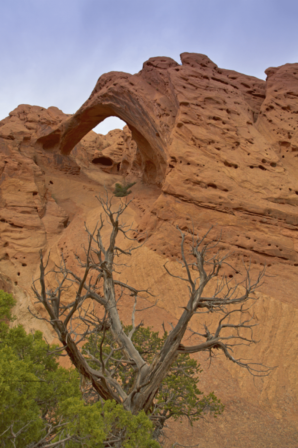
April 26. Joan and I did a couple of hikes in Kodachrome State Park. First the short walk to Shakespear Arch (sic; named after discoverer Tom Shakespear) and then a 6-mile hike on the Panorama Trail to Cool Cave. The day was warm so the cool cave was welcome, though there was no water to be found anywhere. The most remarkable aspect of this area is the many free-standing spires, or pipes. The one pictured below -- the famous Ballerina Spire -- was most elegant as it stands tall (100 feet) with remnants of its red outer sheath at its base.
Shakespear Arch (above)
Above and below: Cool cave; a welcome spot on a warm day.
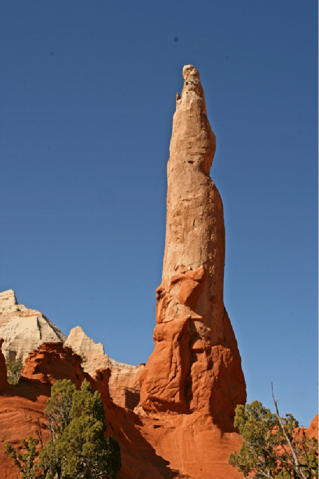
Ballerina Spire (above)
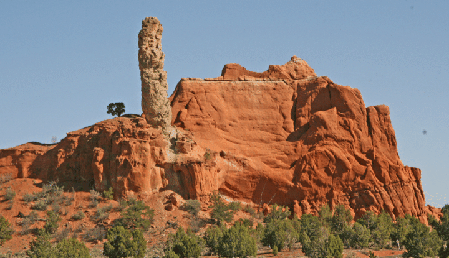
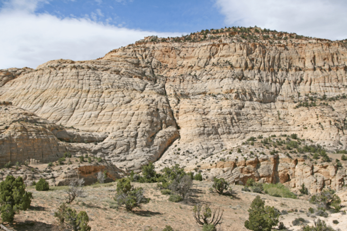
Spire and butte near the main trailhead area.
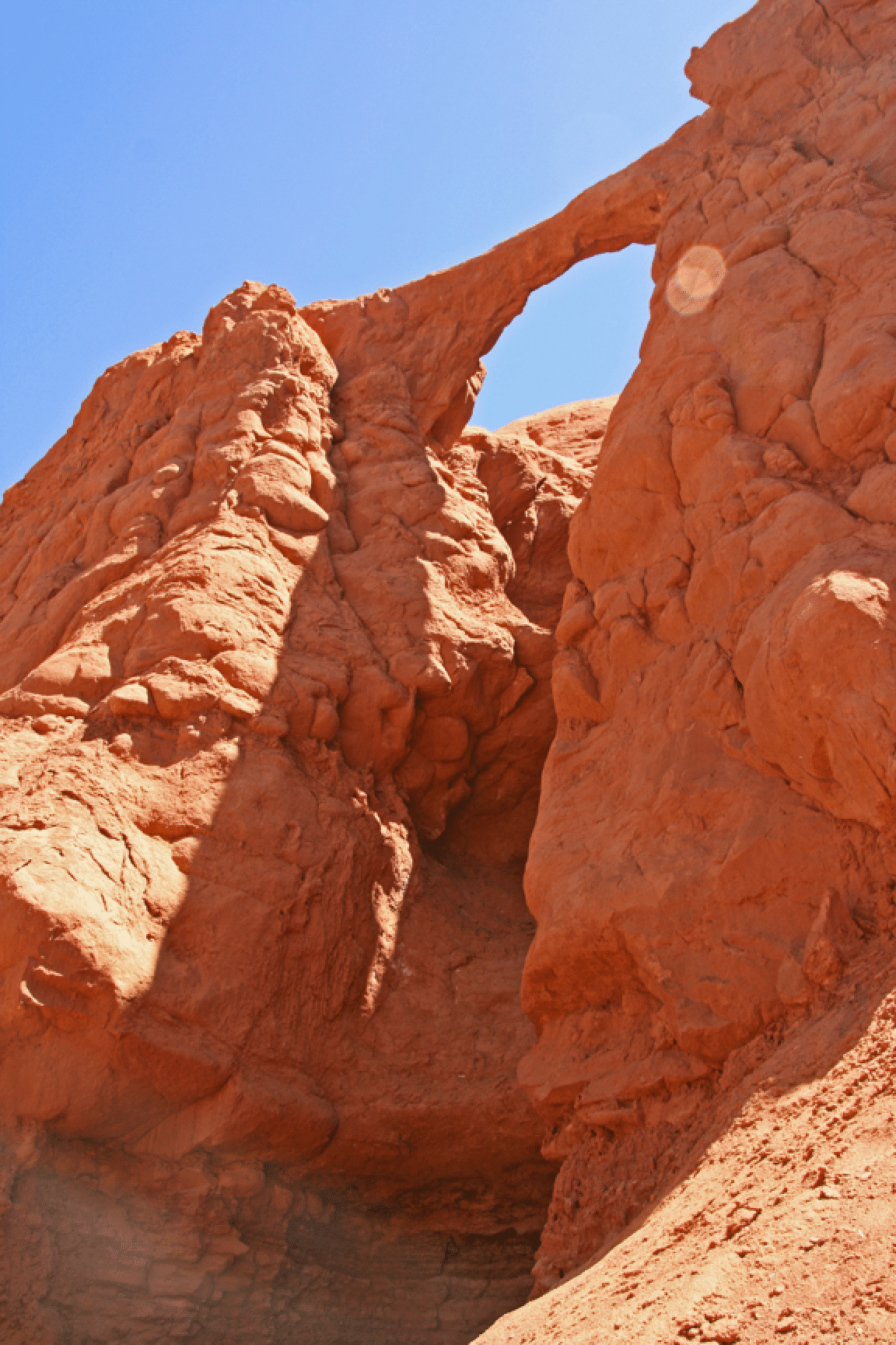
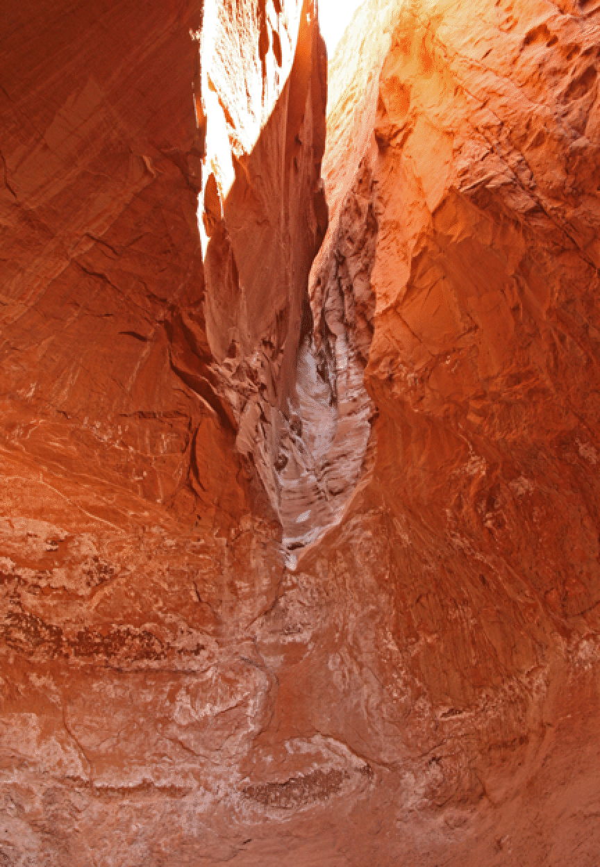
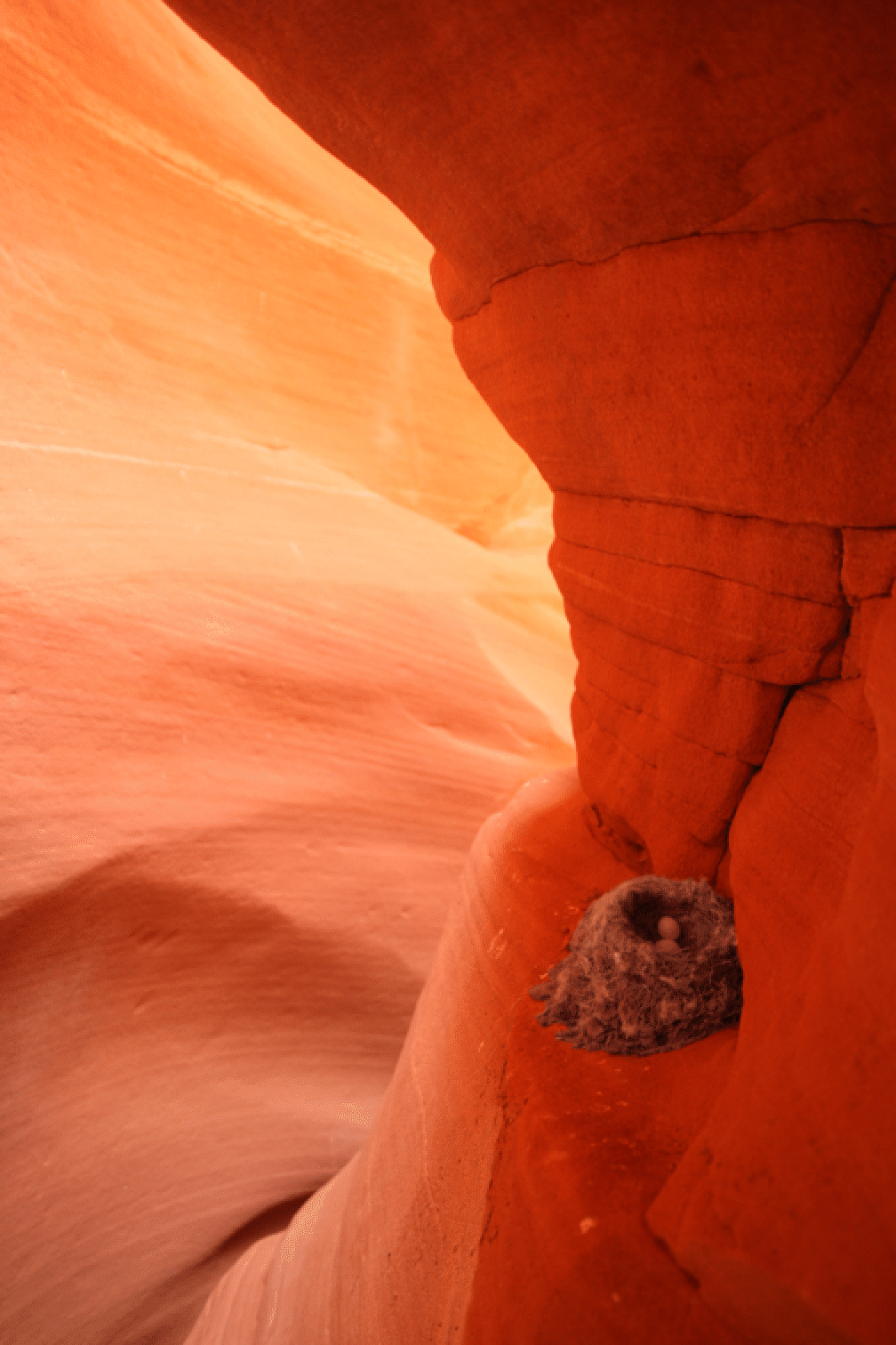
Tuesday April 27: I hired local guide Rick Green for a day of canyoneering and we did two little-known, slightly technical, long slot canyons. It was a long and rewarding day. As we entered the first canyon we found a bird's nest on a shelf:
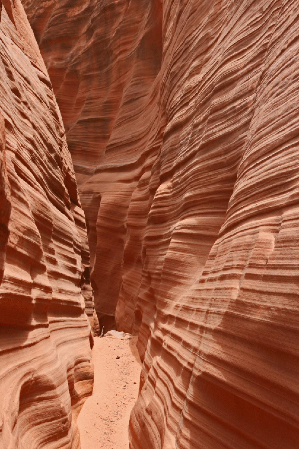
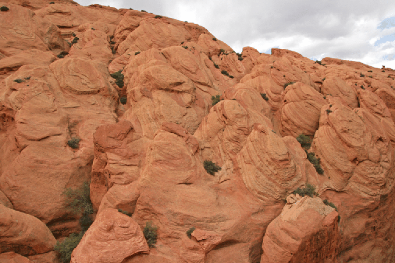
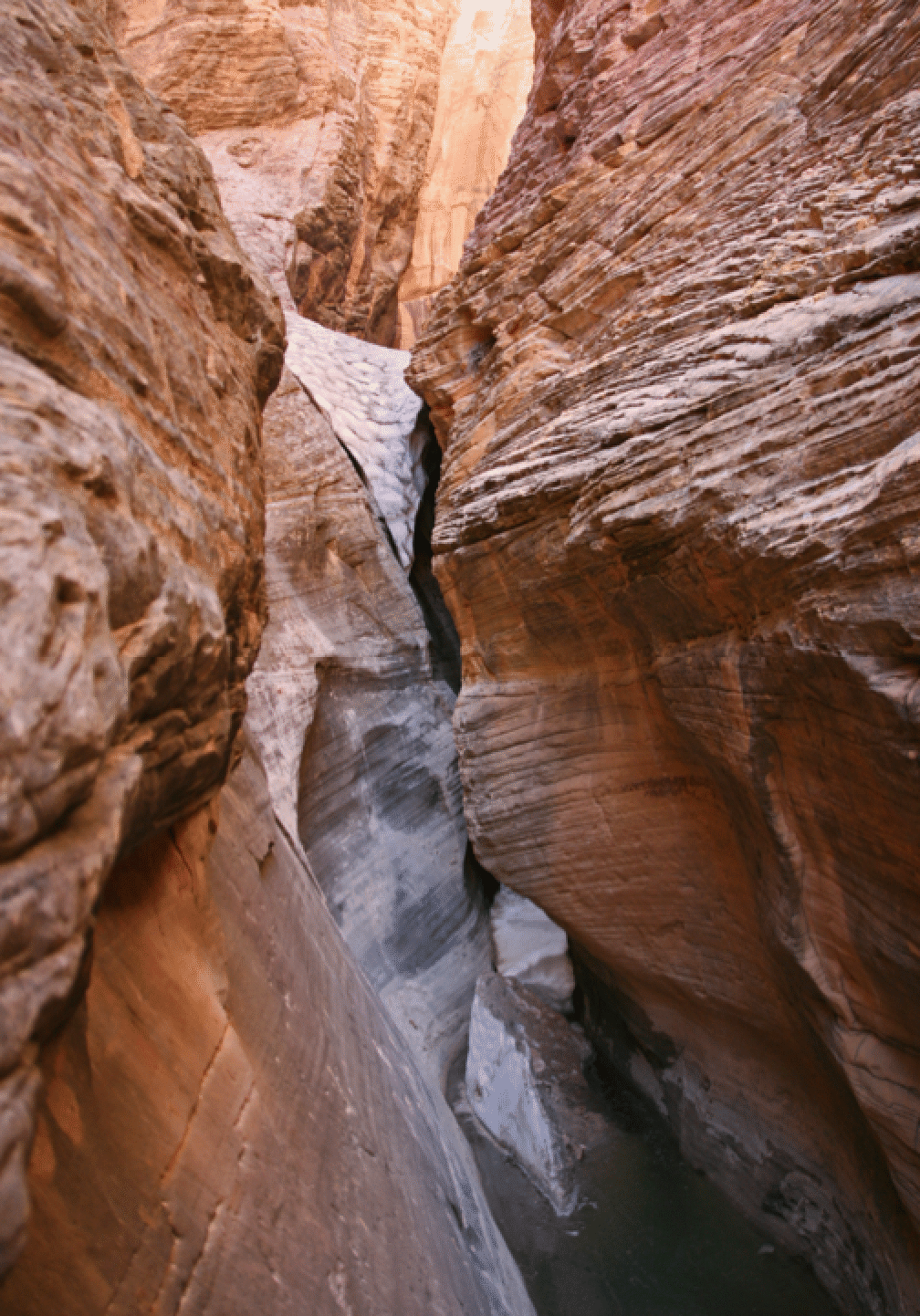
The canyons had the usual striations and narrows:
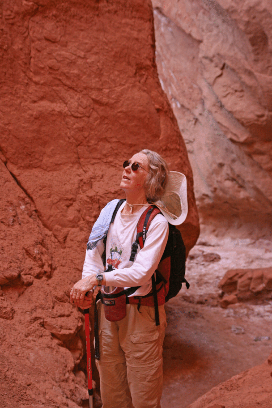
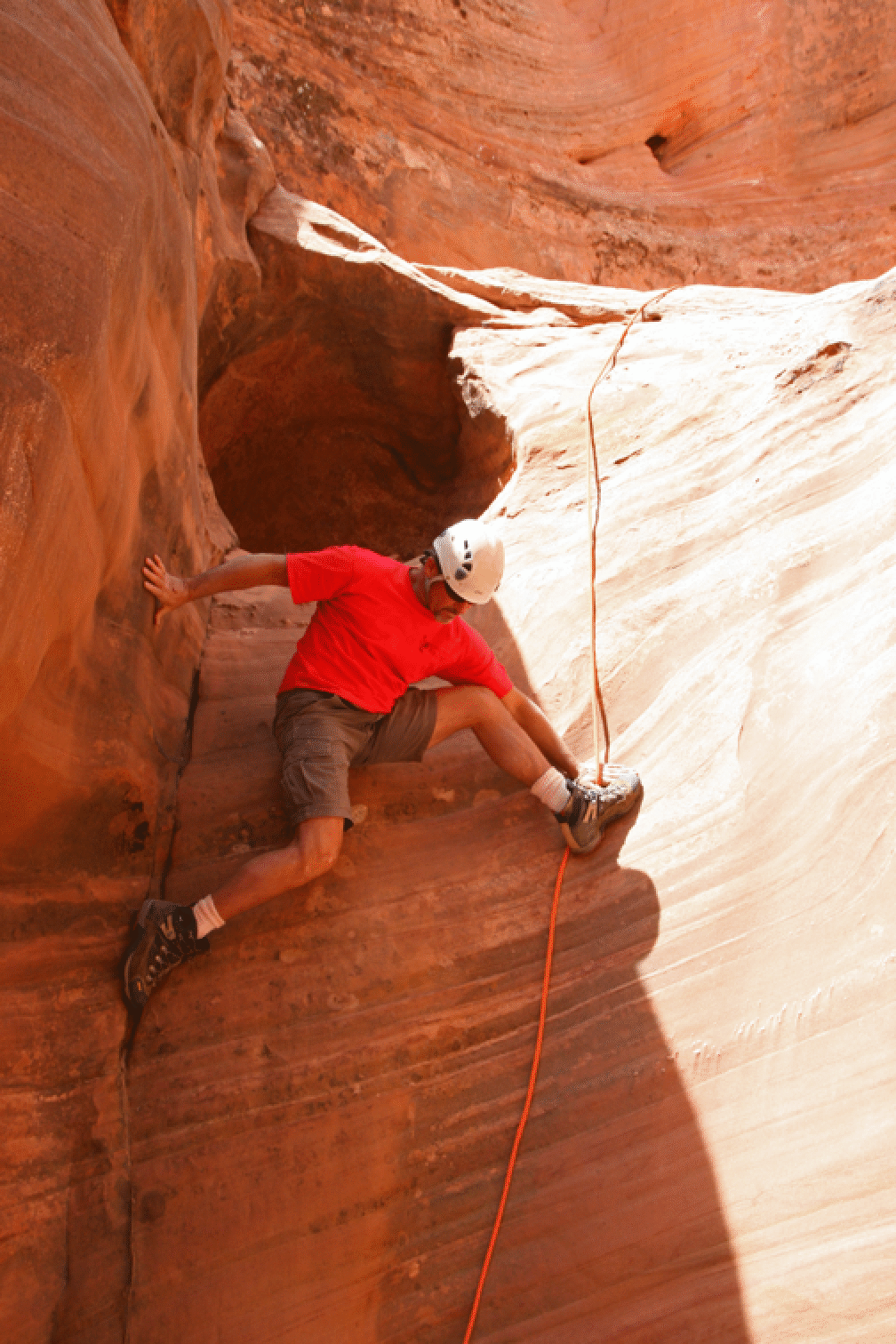
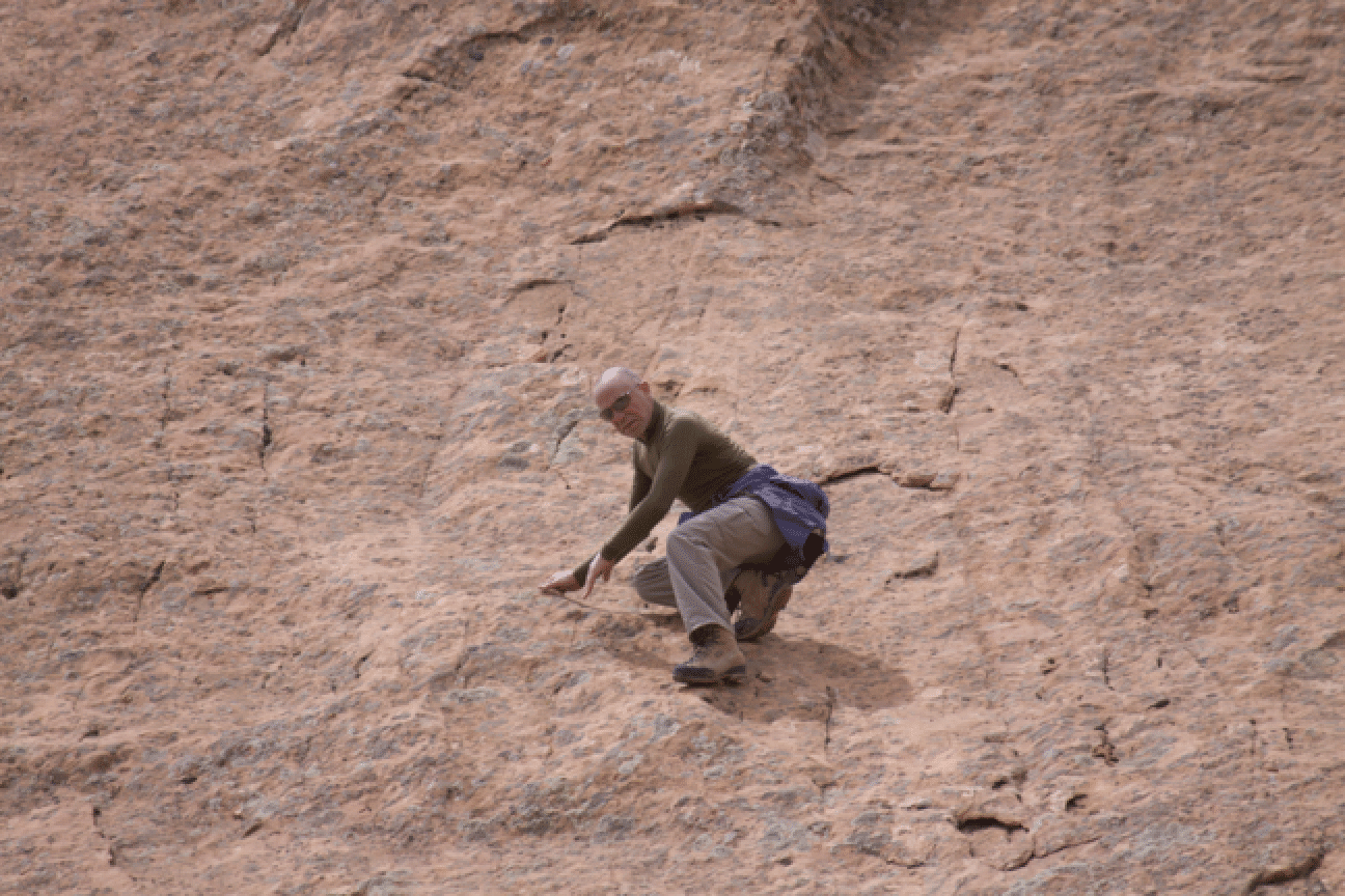
The guide descending a steep face:
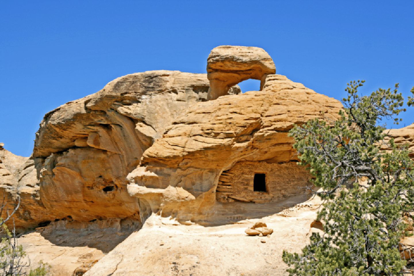
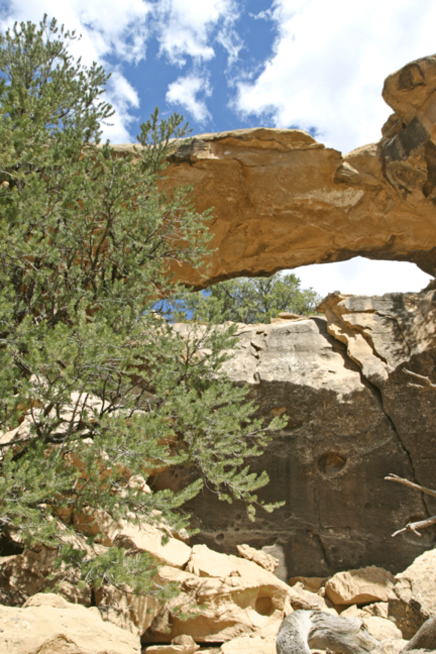
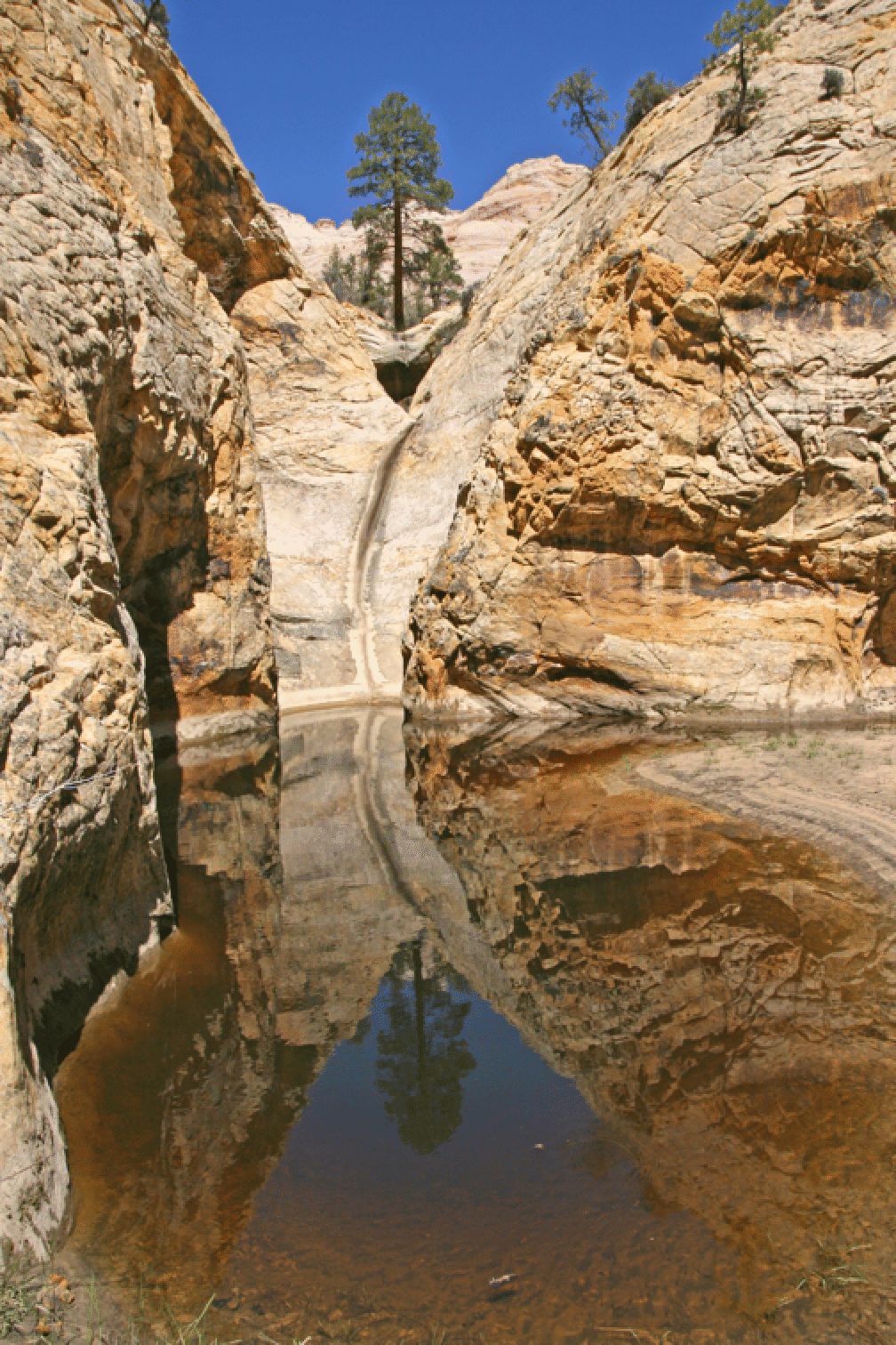
Wed: Drove up to Collet Top Arch via Alvey Wash. A very long drive, but easy, and the arch and granary combination again impressed me as a very special place. I had been there five years ago. On the way back we stopped at Serenity Bridge near the junction of Calf Canyon and Alvey Wash.
Collet Top Arch:
Serenity Bridge
April 29. We went to Upper Muley Twist and first to the Strike Valley Overlook, and then Jonathan, Rich, and I did the full loop (10 miles) in cold conditions. This is an incredible trail allowing closeup looks of many of the fascinating features of the Waterpocket Fold. We took the canyon part of the trail to its end where it turns up to the rim, and then followed cairns to the rim and then back down to the canyon; a great loop. The first photo below is of Saddle Arch (by Rich Seeley). I especially like the second photo below, perhaps the best of the whole trip, as it shows well the crazy Wingate formations in this area.
![]()
Below: More crazy Wingate in this area. I can imagine returning here to play around in these domes, perhaps approaching from the high side.
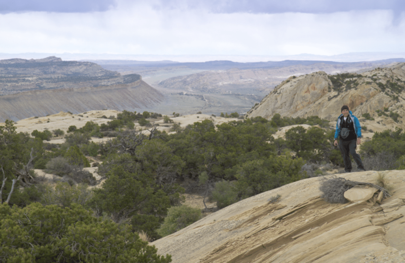
On the rim one gets a tremendous view of the Waterpocket Fold in both directions and the surrounding terrain. We had a poor weather day (cold, some snowflakes), but this did not diminish our enjoyment of the terrain and the well-designed trail. (Photo by Richard Seeley)
Here is Jonathan fooling around on a steep slab of Wingate on the lower part of the trail, about three miles in. (Photo by Richard Seeley)
April 30. Herb Taylor and I went down the approach to Micro Death Hollow, but skipped MDH (rather: mistakenly went past it down to the river), explored a canyon on the opposite bank, and then climbed back to the car by an easy route that starts about a mile downstream from where we entered the river. Here is a view down the Escalante River from the rim before the descent.
The route down, sometimes called the Sneak Route to Death Hollow, descends the face below right of center.
Below: The nice side canyon across the river from the route down.
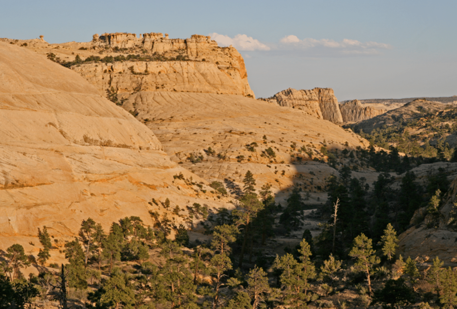
May 1-7, 2010: Backpack through Death Hollow. After the usual fussing involved with getting the car shuttles properly organized (we were a group of nine), we got to the start on the Hells Backbone Road. The trip would end at the Escalante River Trailhead at the end of the Boulder Mail Trail in Escalante. We had three camps with two nights at each, allowing time for exploring side canyons and ridges in this remarkable expanse of Navajo sandstone.
Kim and Mike: The first two days were very cold and windy, with occasional very light snow.
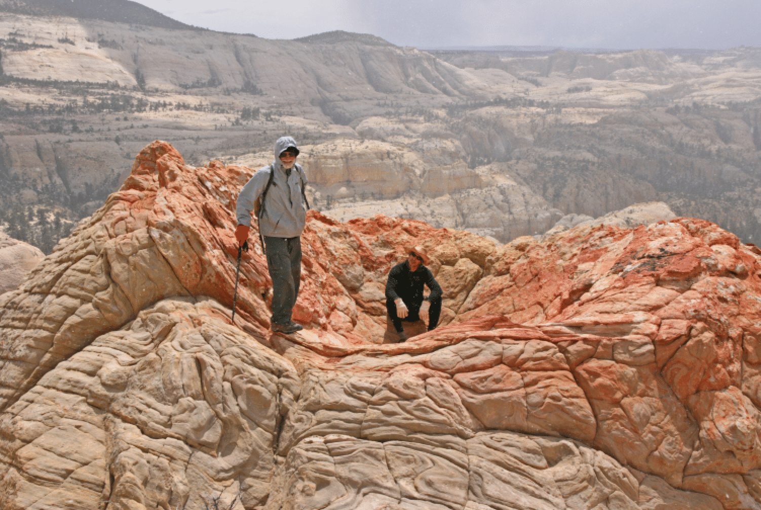
Herb and Mike in an unusual red ashtray high on a ridge. It was snowing lightly -- and blowing hard -- this day.
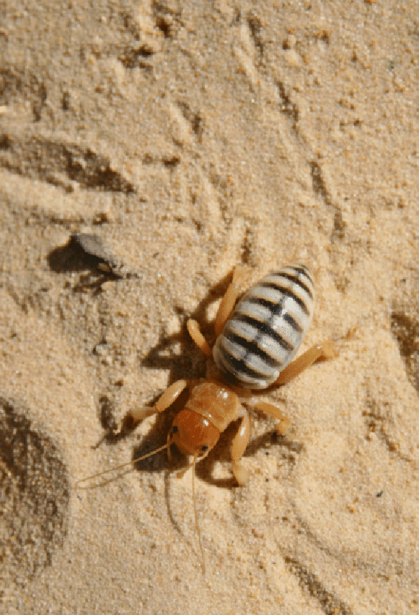
The following bug was new to us. My editor Elizabeth Loew at Springer-New York identified it as a Jerusalem cricket (Stenopelmatus fuscus), aka potato bug. But it is not a true cricket, is not from Jerusalem, and does not eat potatoes. It can bite.
Slot canyon with ice; we found snow several times on the trip, something that has never happened before except for tiny patches.
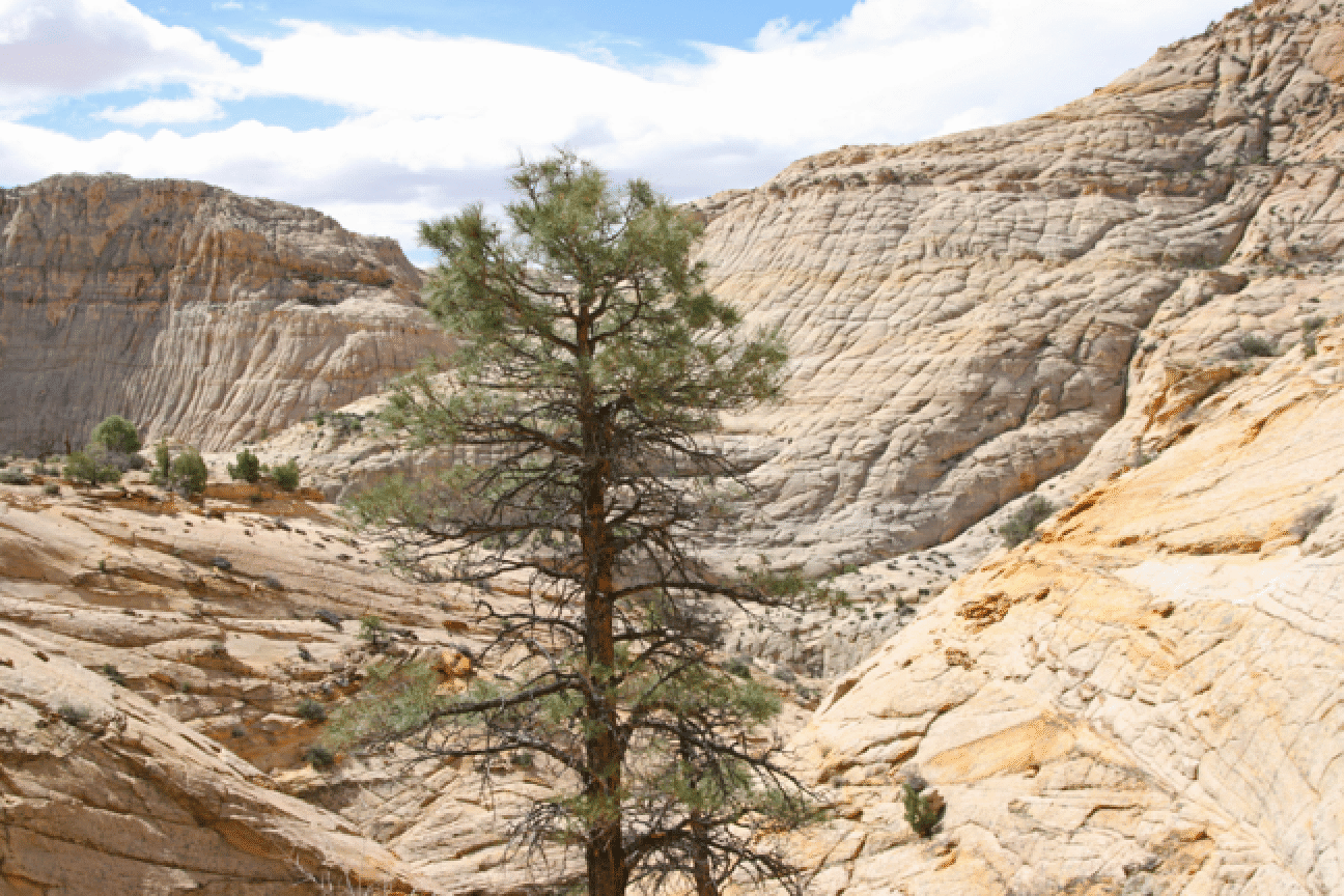
The Ponderosa pines in the area were fantastic. Here one stands guard over a steep pouroff.
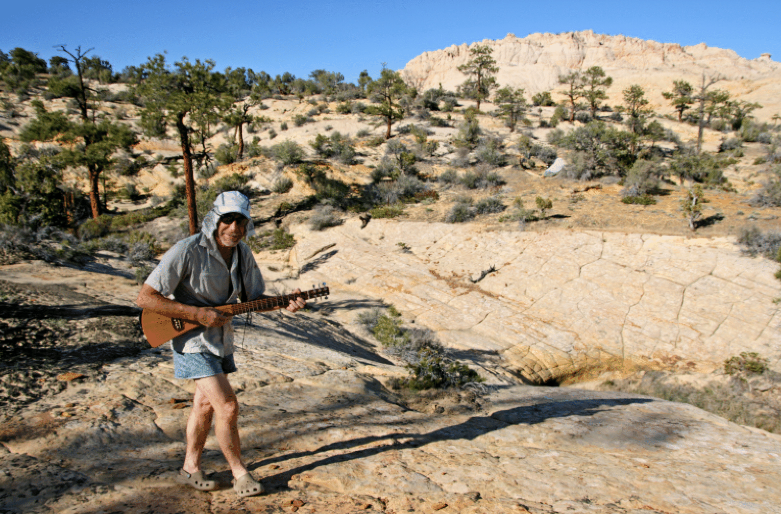
Afternoon concert by Jonathan:
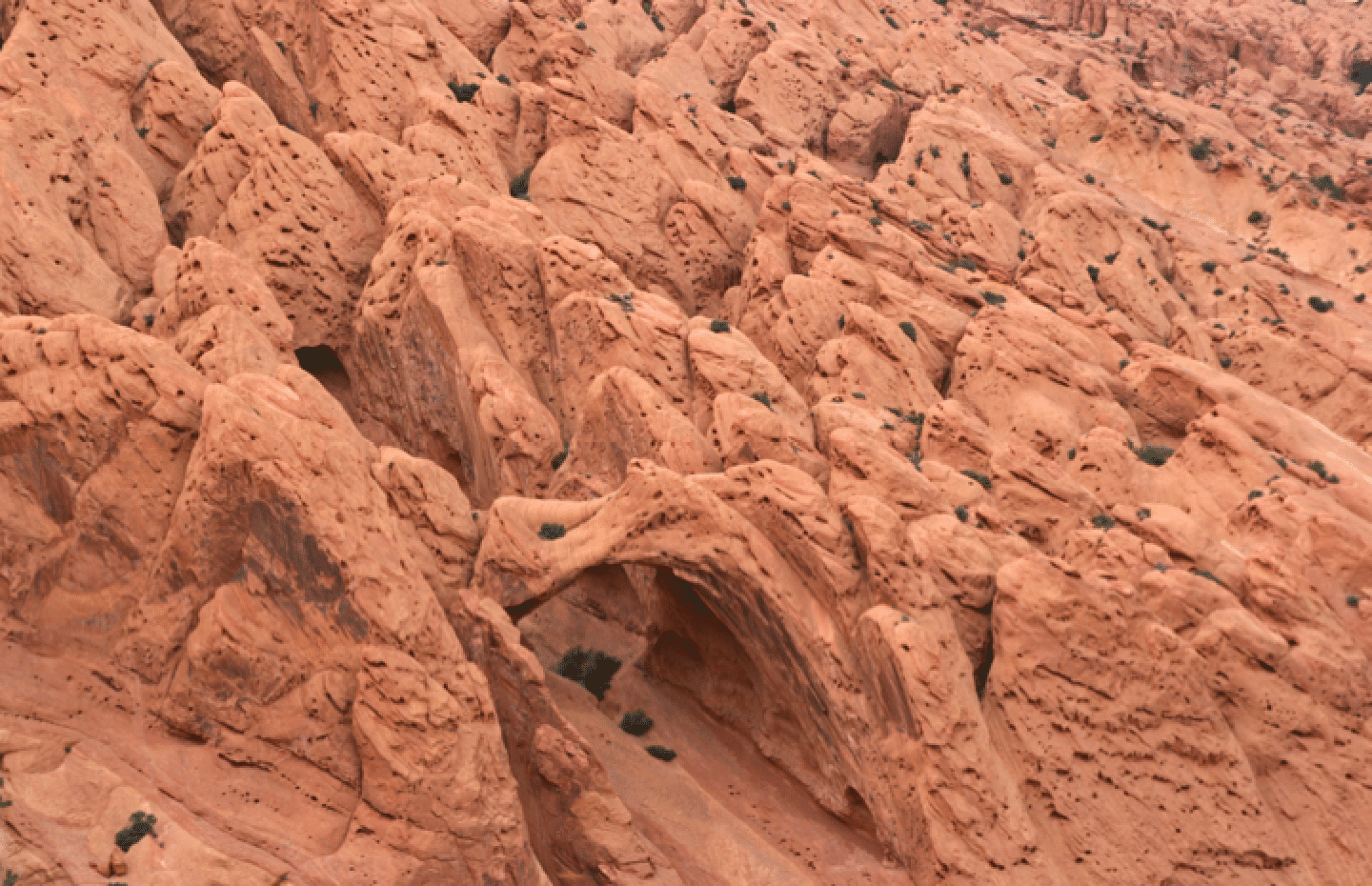
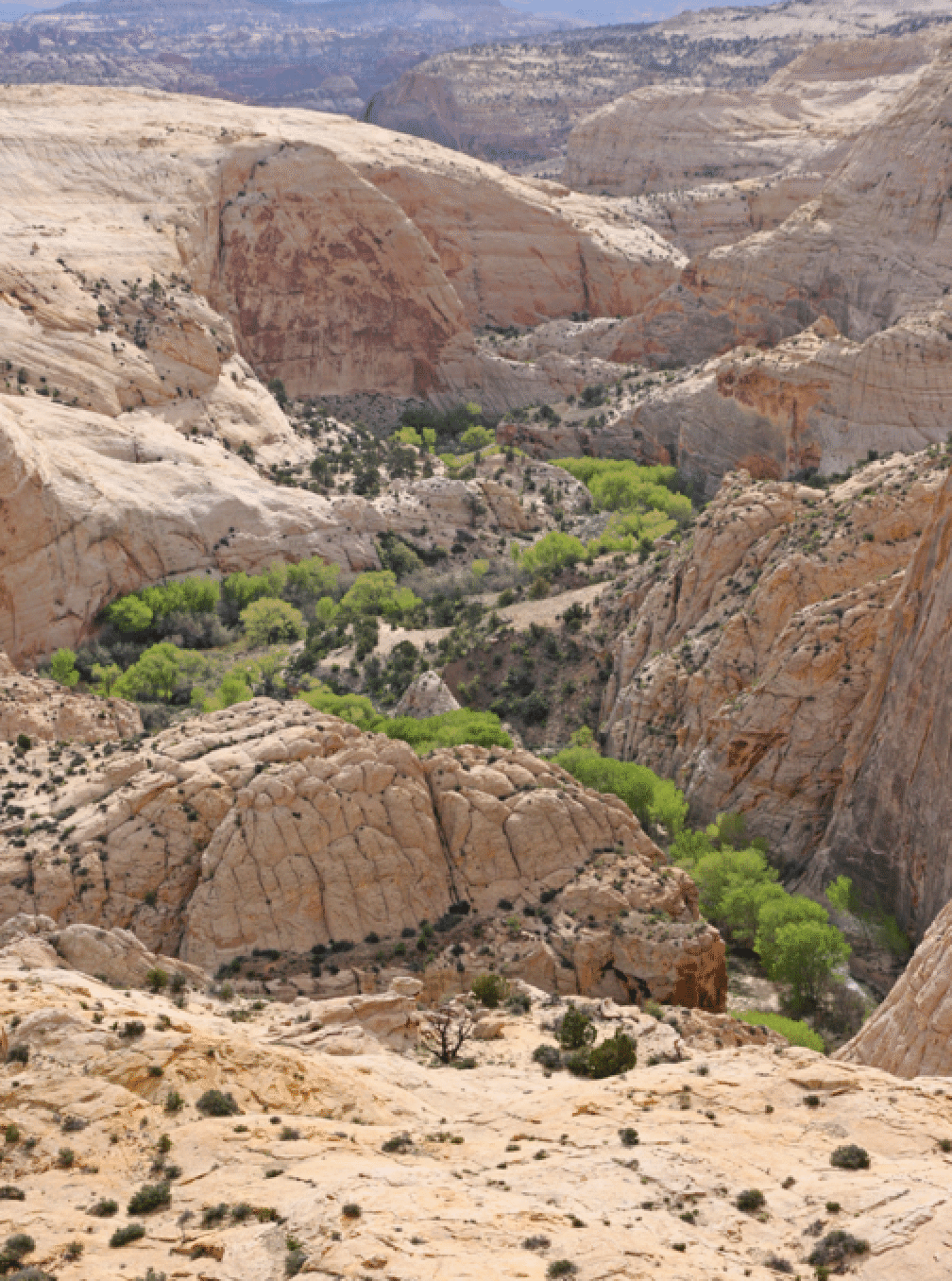
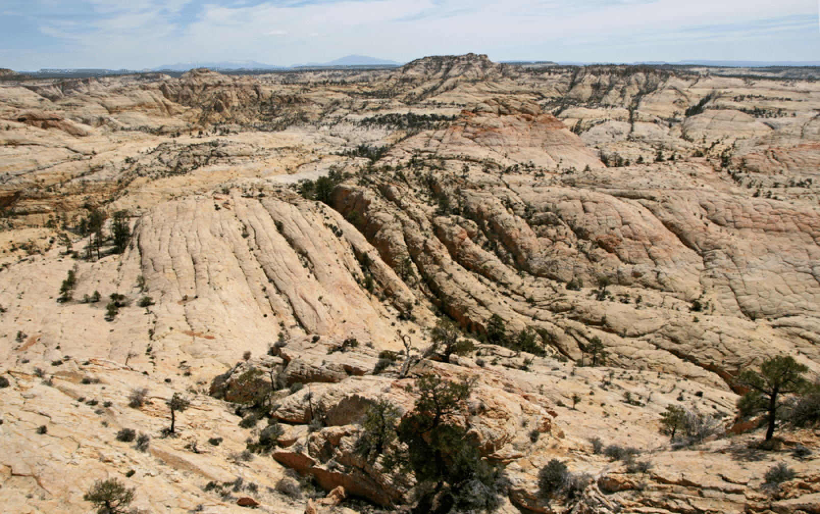
Death Hollow Panorama: I have heard it said that this area is the greatest expanse of exposed sandstone in the world.
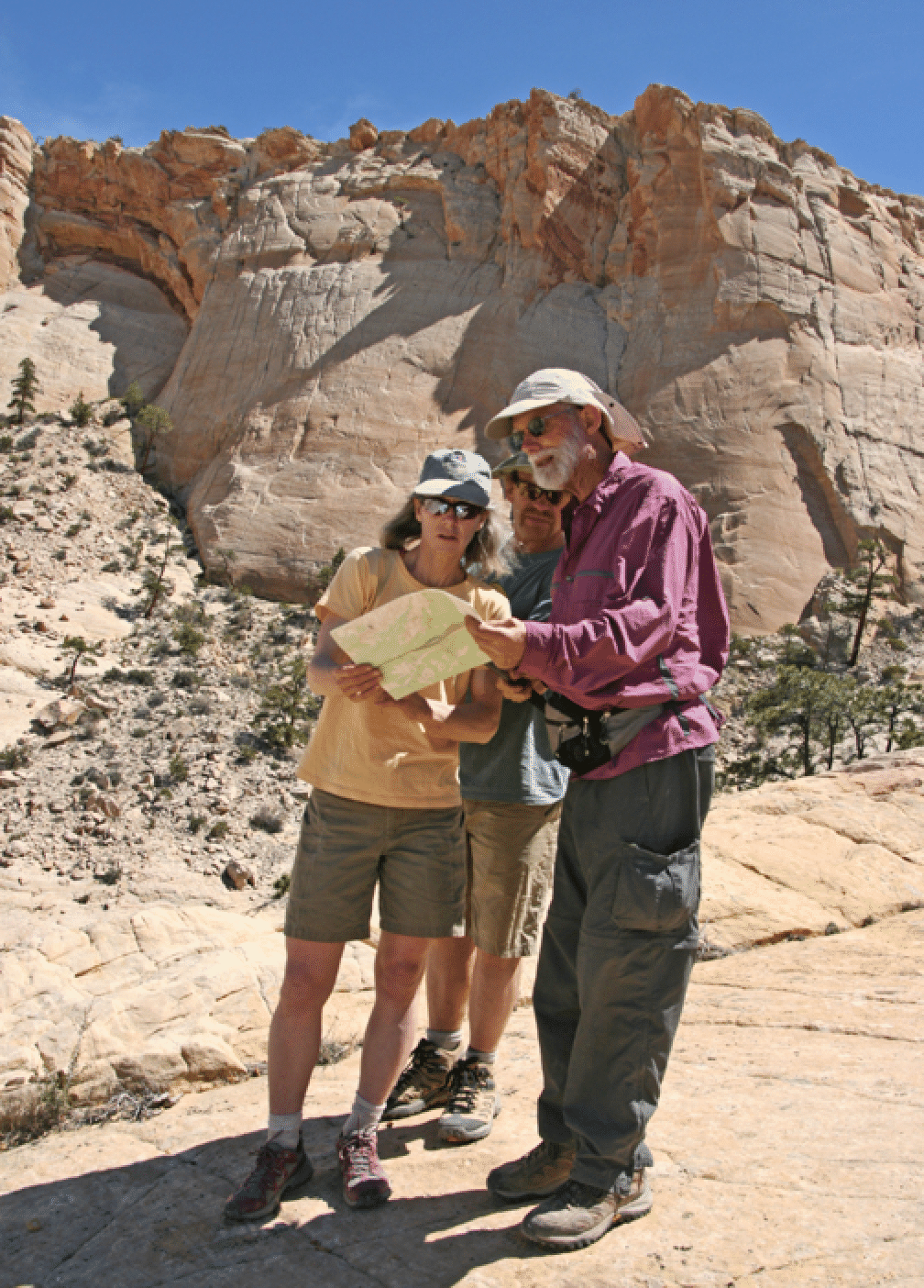
Herb, Katie, and Don consulting the topo. Navigation through the convoluted terrain is not easy.
The view down Mamie Creek, perhaps all the way to the Escalante River:
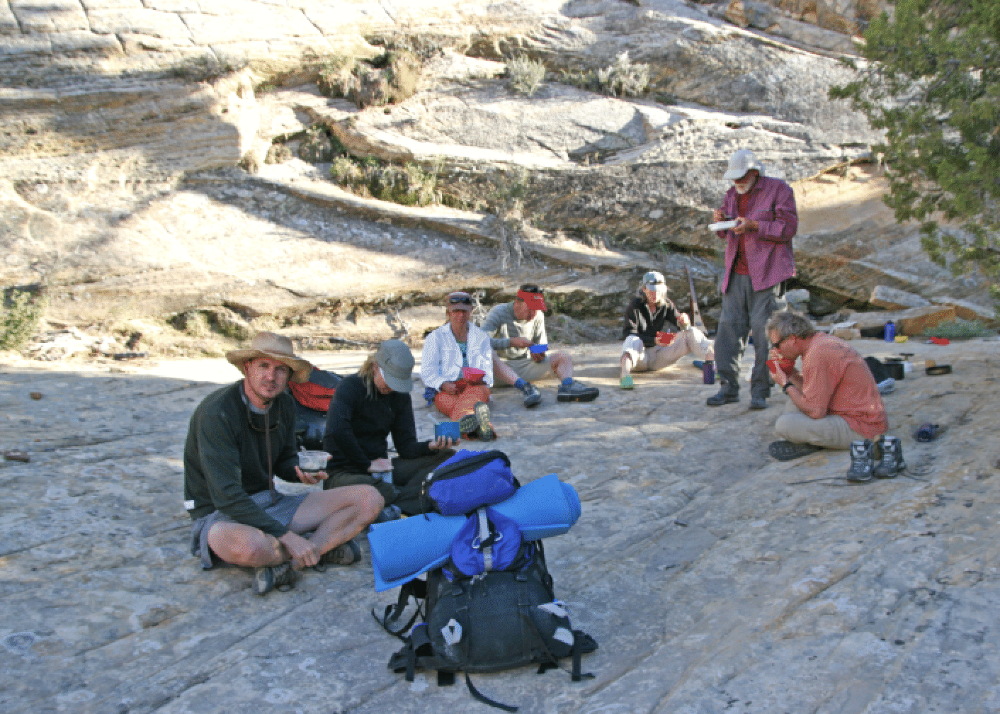
Feeding time:
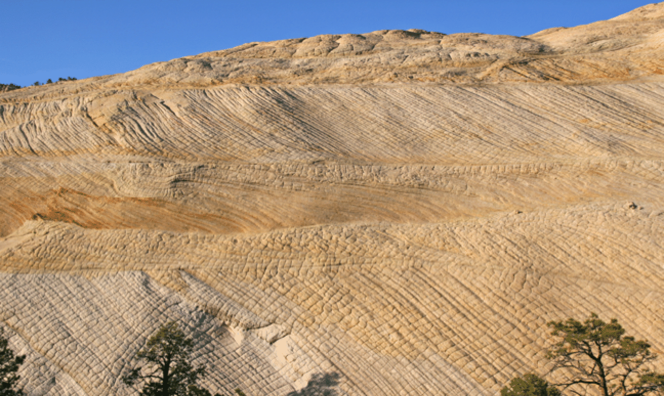
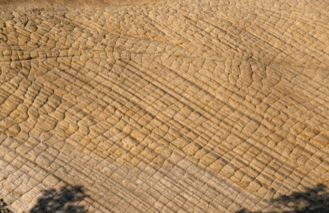
The remarkable Navajo wall in Mamie Creek, not far from the Mail Trail. I have never seen one with such intricate patterns.
Closeup:
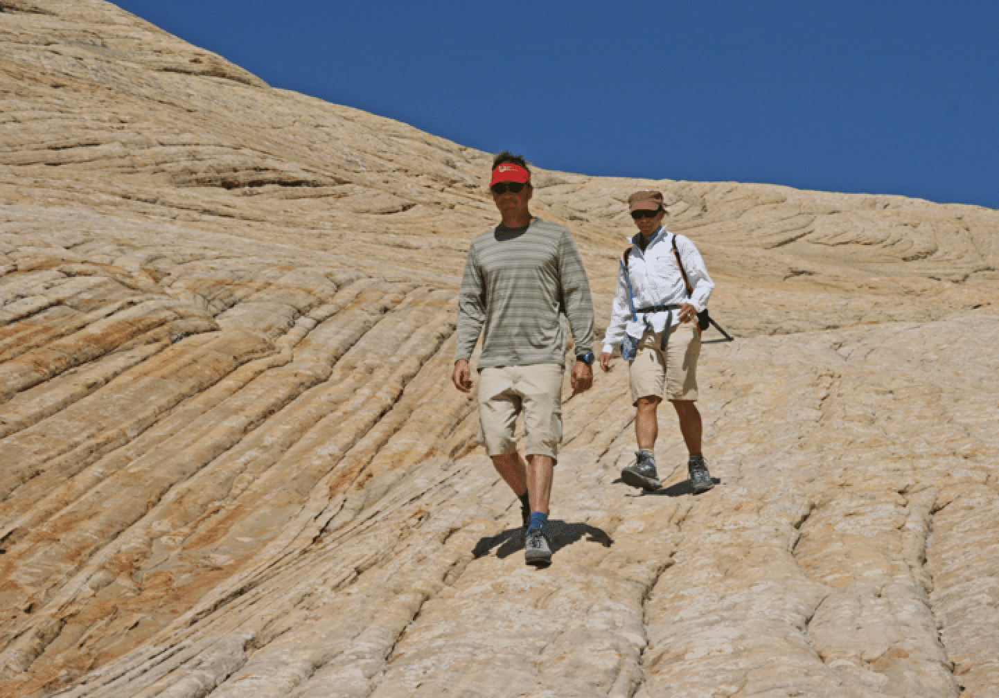
Bill and Elke, walking the Navajo:
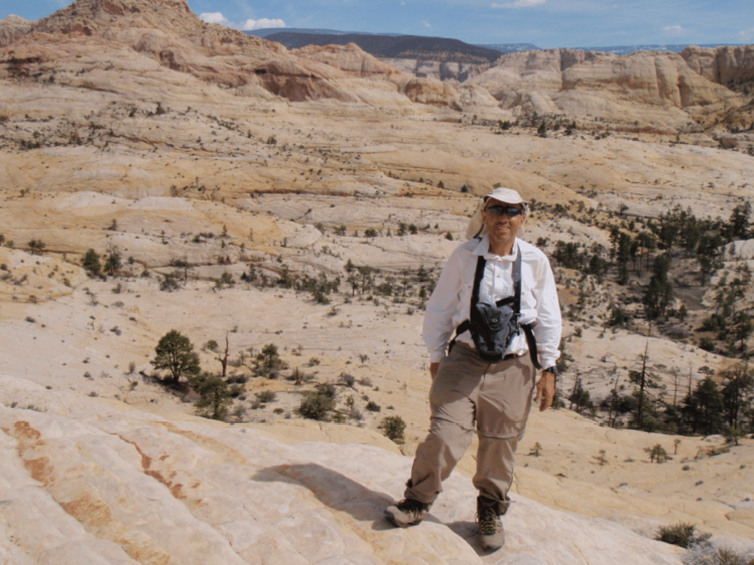
Stan (photo by Mike)
We found a cute family of seven tiger salamanders in a pool in Mamie Creek (photo by Katie Larson).
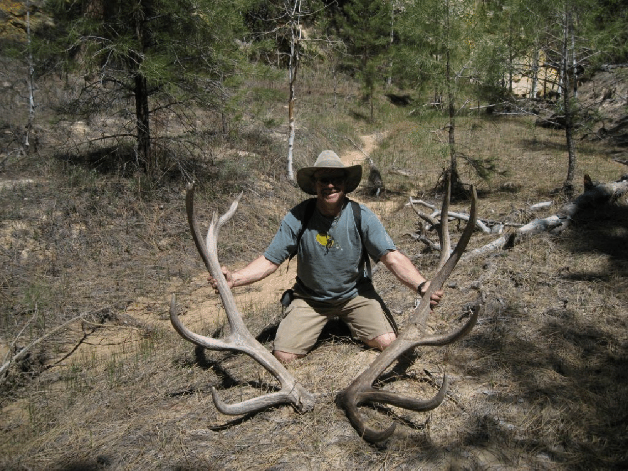
Don found a gigantic set of elk antlers -- perhaps the largest he has ever seen, and he has seen a lot -- in one of the side canyons (photo by Katie Larson)