Black Ridge Canyon Arches 2011: West Rim and Perseverance Arches, Grand Meeander Cave
We rented a house in Grand Junction for the week of April 27, 2011, and explored many new areas in cool, but dry weather.
April 27, 2011: Drove to Grand Junction. Ran the Old Gordon Trail, up and down.
West Rim Arch, April 28
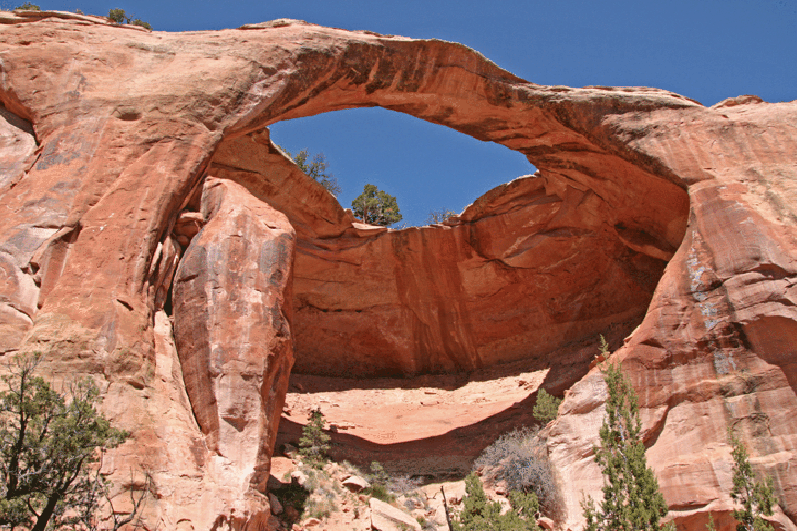
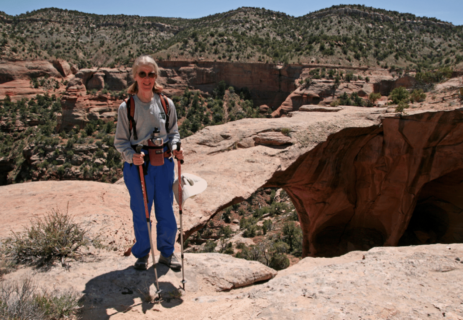
April 28, 2011: Joan, Martha Fulford, Phil Hage, Kathy Franzen, and I drove to the Rattlesnake Canyon approach, parked a mile below the road junction and gate, and went in directly to the start of Rattlesnake Canyon and down to the level of the bottom of West Rim Arch. Then an easy walk to the arch. After scrambling up into it, we retraced a bit, climbed, and then traversed back to the top of the arch. Weather was fine and our routes were reasonably efficient. Below are a shot from below, three from inside, and one from above.

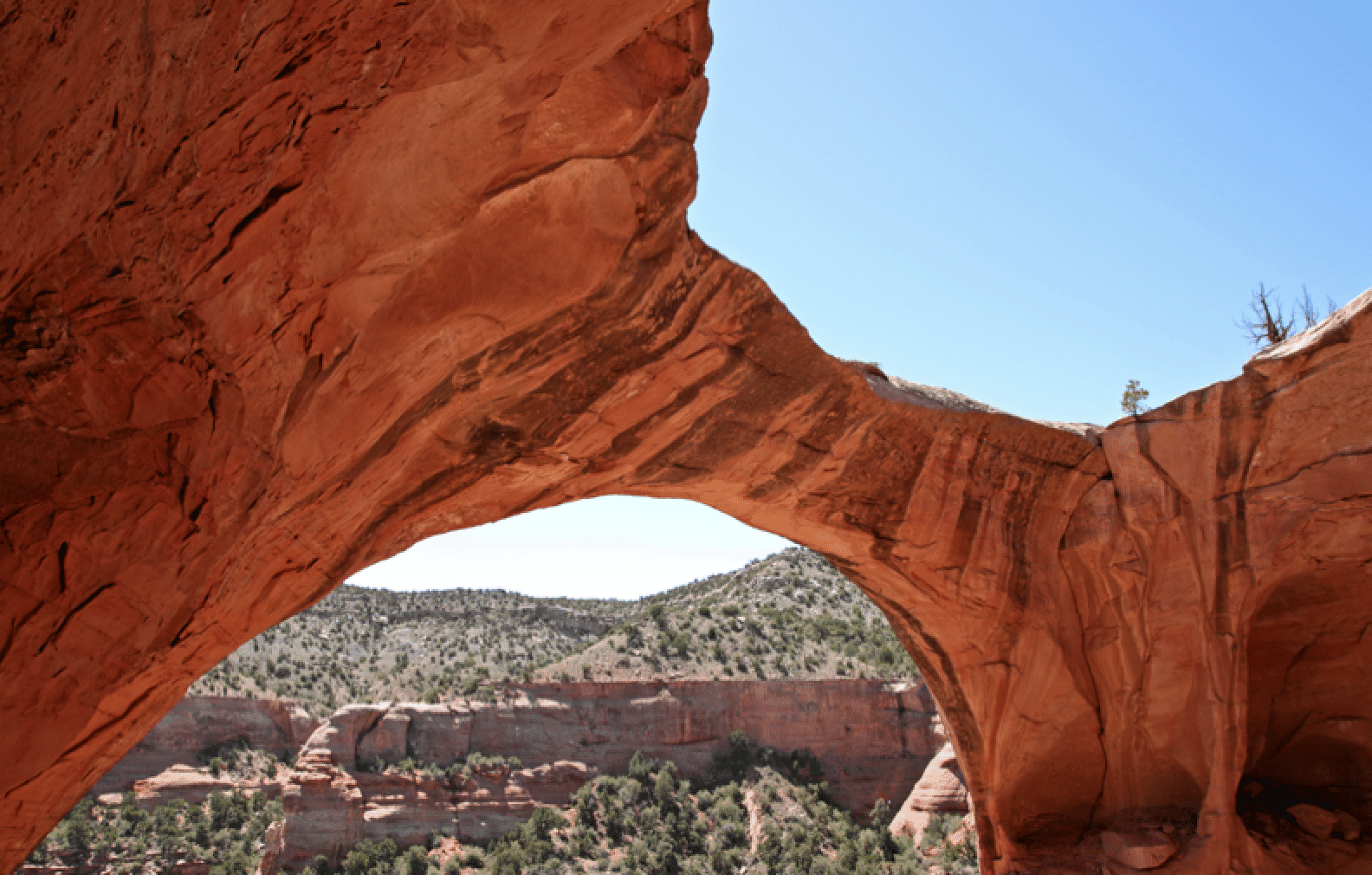
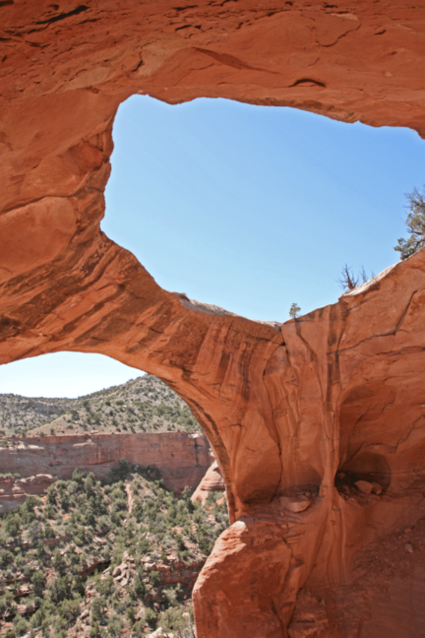
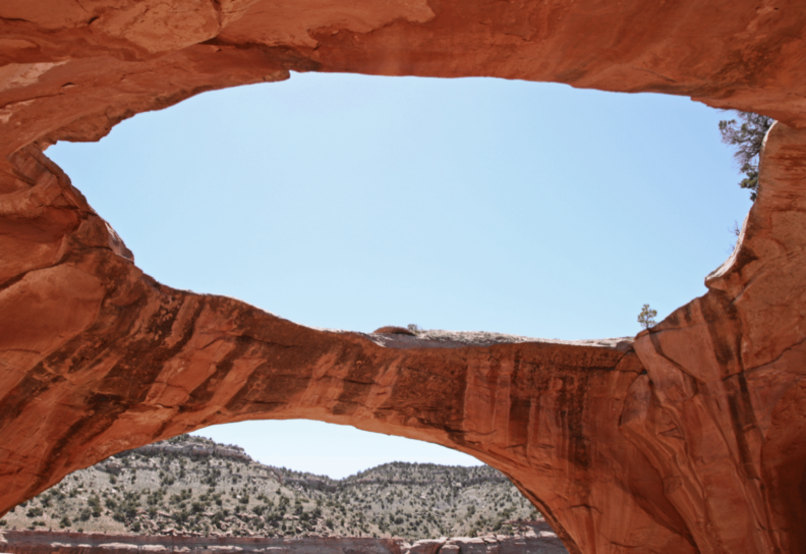
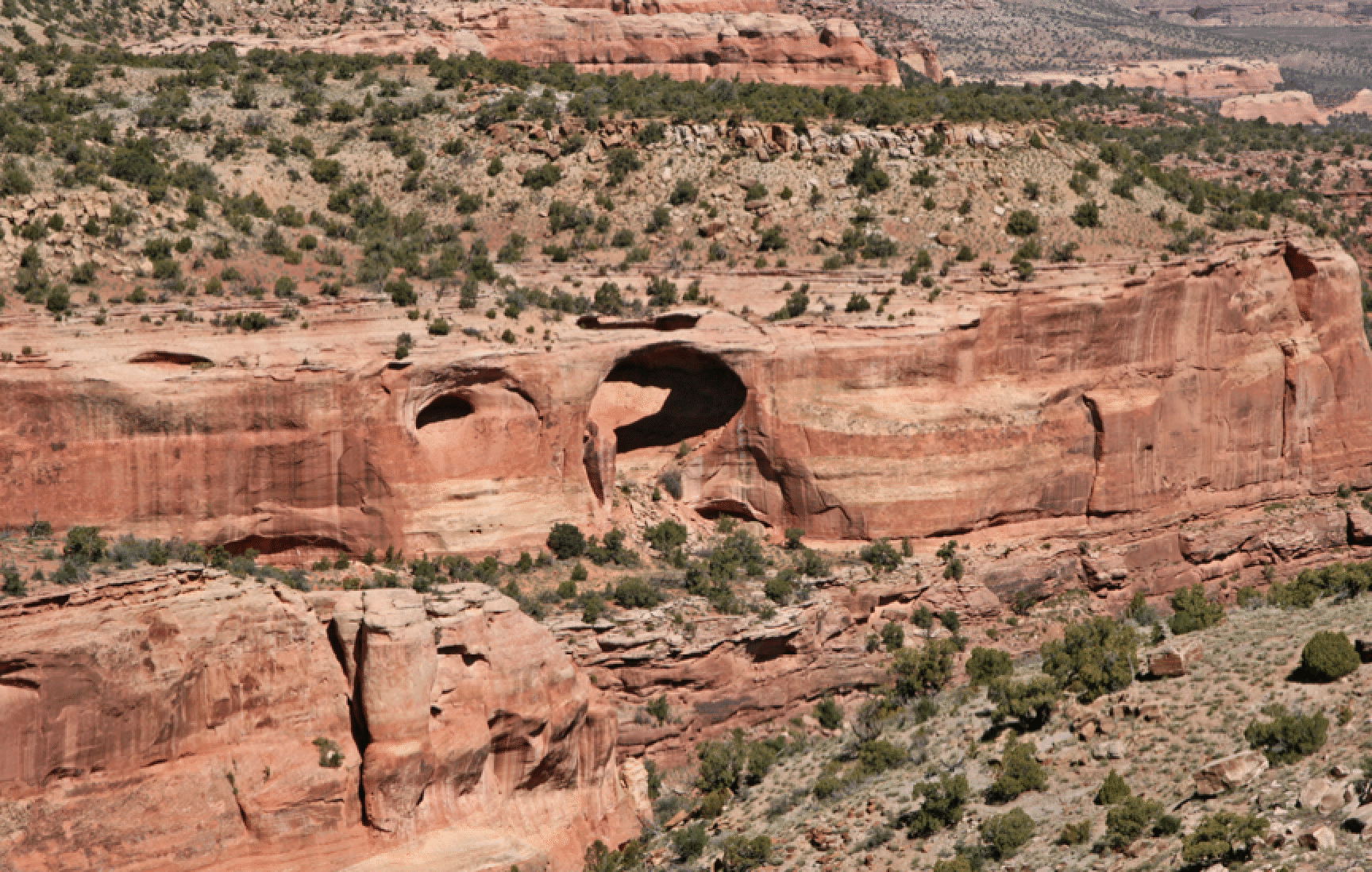
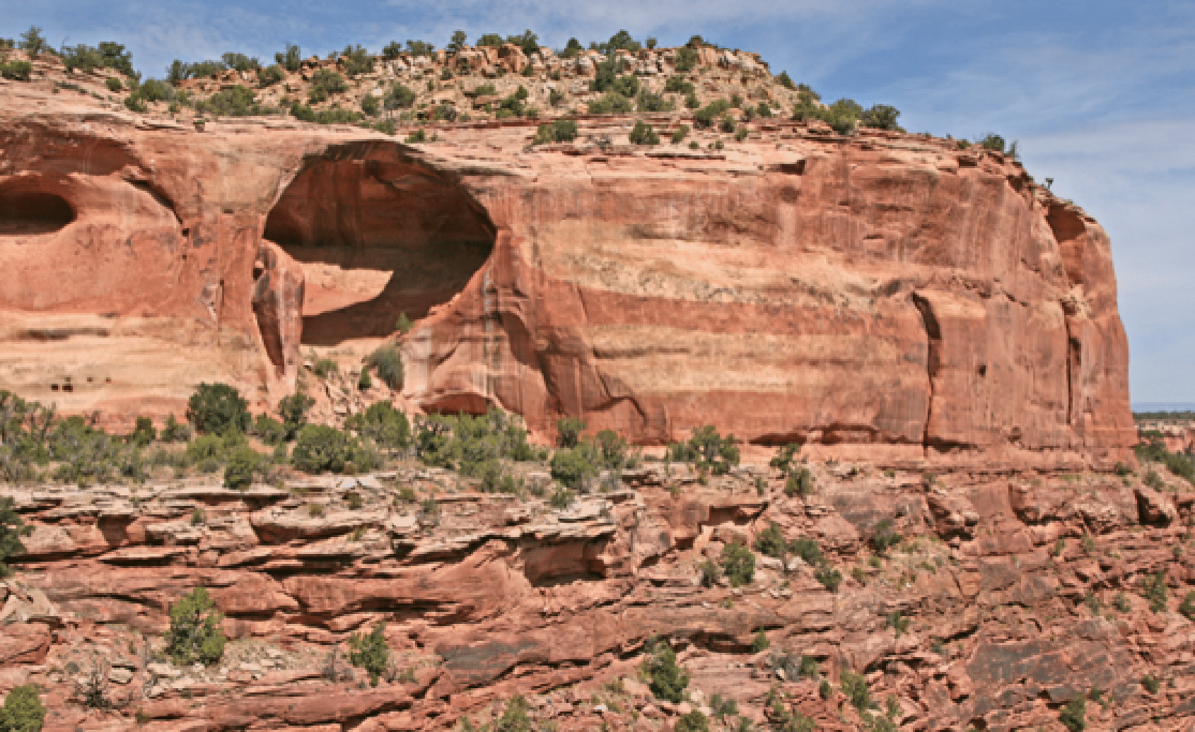
And below are two views from the entry route near the head of Rattlesnake Canyon. (Second photo taken May 2012)
Rough Canyon Slot, April 29
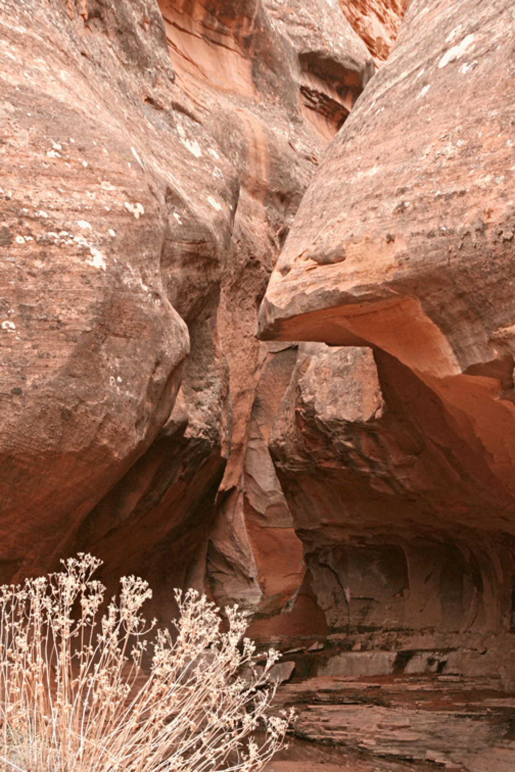
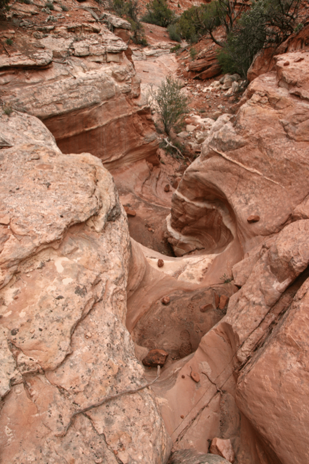
Arpil 29: I ran down the jeep road above Rough Canyon and then investigated two side canyons of Rough: One involving a nice climb up a wet move, and the other a nice short slot canyon, but I did not have the nerve to climb up the entrance. So I went around and investigated a bit from the top. It is a very short slot. Here is the view at the lower entrance.
And looking down-canyon from well above the difficult area.
Perseverance Arch, May 1
April 30. Jonathan Kriegel and I drove to Moab and skied the east face of Tuk.
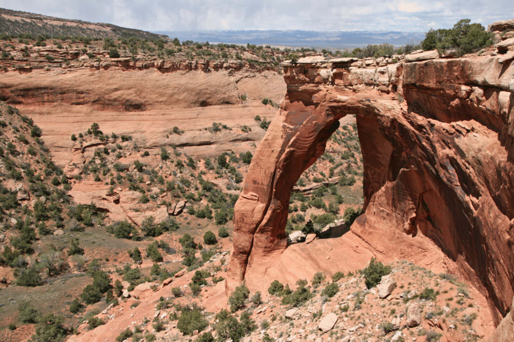
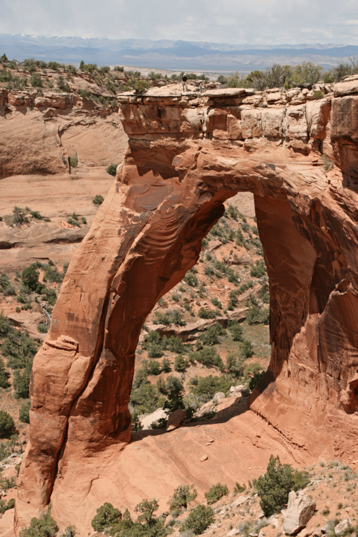
Perseverance is a spectacular arch that can be reached by a fairly easy 8-mile walk, and so 16-mile round trip. We wandered a bit in the area of the arch, and so took 9 miles to the arch, but 8 miles back. UTM 1927 coordinates are 12S 0667340E 4323200N. From the Jones Canyon trailhead the road goes all the way to a grass landing strip on the state line. From there, head NW to the arch, which is close to the cusp of the V where two canyons come together, but on the left arm as you approach. One can get to the canyon bottom, and therefore into the arch, by using a broken slope across the canyon, but we were content with the view from the rim. The width of the opening has been measured at 55 feet and the height estimated at 100 feet.
Here is a view with Jonathan Kriegel standing atop the lintel. It is possible to get to the bottom of the arch, but it takes some planning. It is an easy walk from the canyon floor to the bottom, but how to get to the canyon floor? There is a break in the cliffs on the opposite wall, to the left and behind in this photo, and that would work as a route and be no longer than the route to the rim.
The Island of Colorado National Monument, May 2
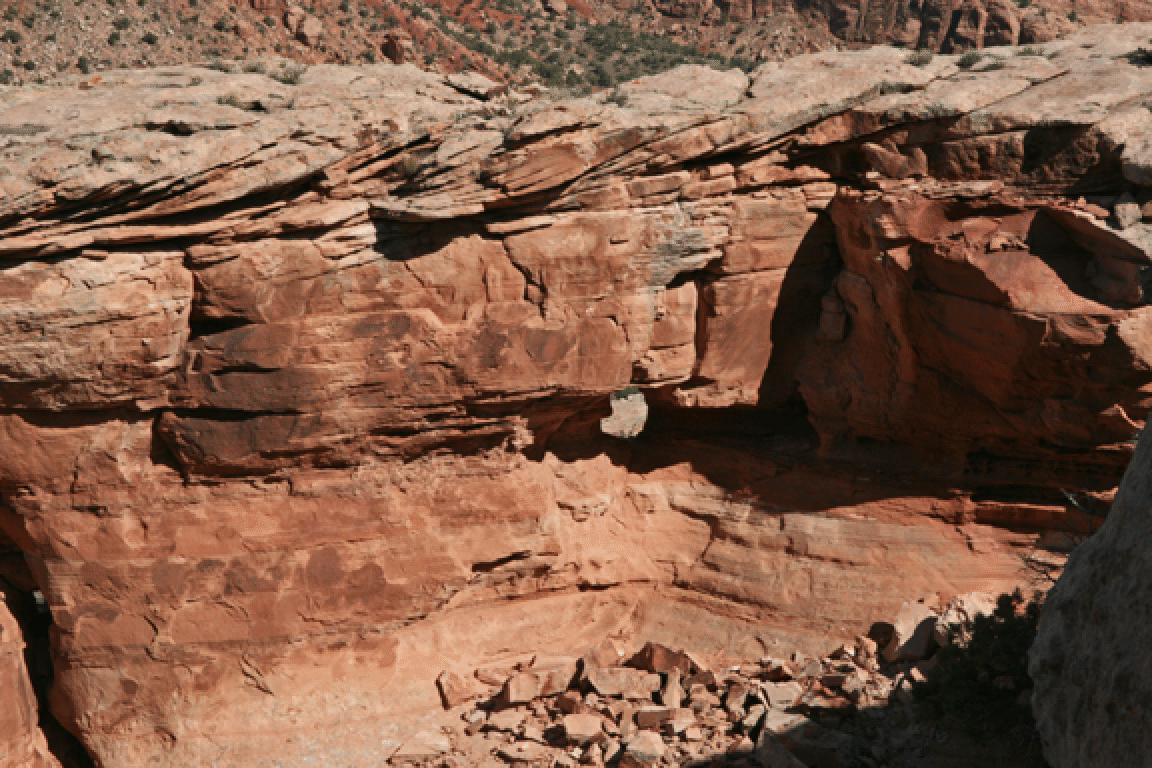
On May 2 we hiked to the top of The Island, the small plateau just northeast of Independence Monument. Even found a very small arch near the top!
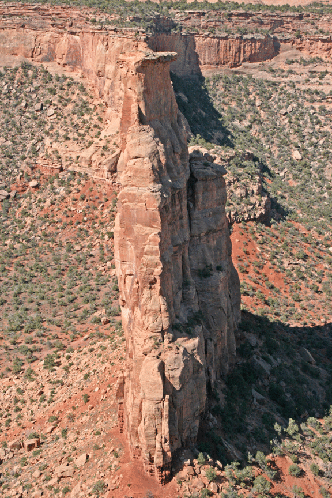
Mee Canyon Alcove (aka Grand Meeander Cave), May 3
For our last day Joan and I headed down the trail into Mee Canyon and the giant alcove just upstream of where the trail enters the canyon. The trail is about three miles long and is remarkable for several sections of steep scrambling.
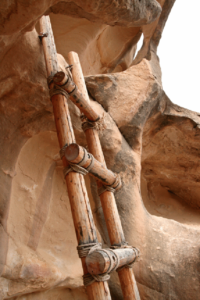
A fine ladder helps one down a steep section after a small arch.
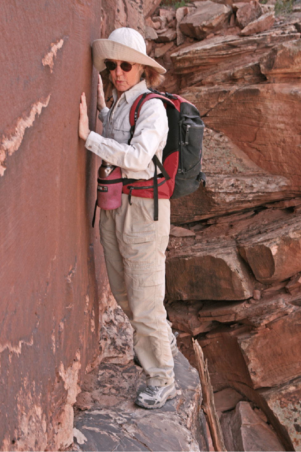
This ledge is exposed!
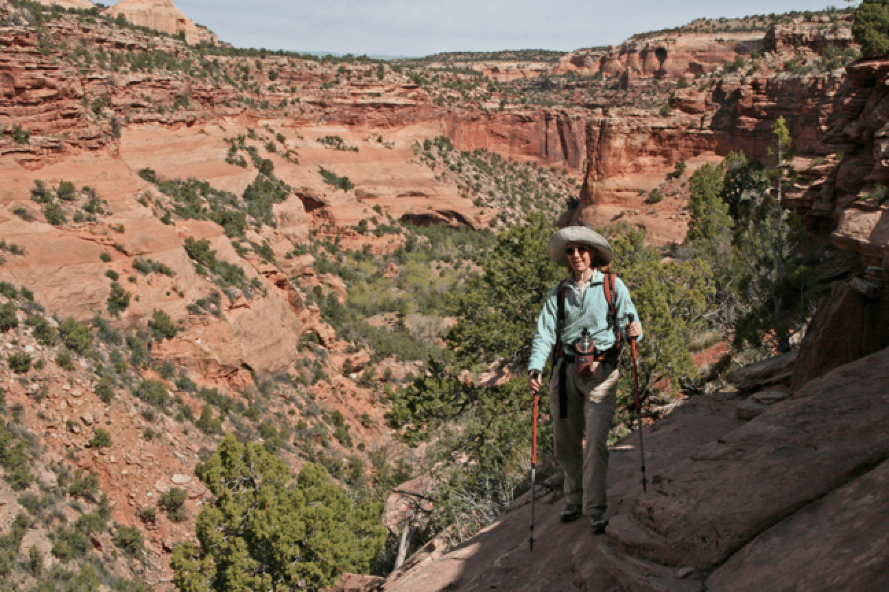
The trail down has many steep slabs and offers great views down canyon, towards the area of Crown Arch that we visited last year.
Below are four shots in and around the alcove, which is over 300 feet deep, 75 feet high and 200 feet wide, the largest such alcove on the entire Colorado Plateau. It is also known as Grand Meeander (sic) Cave.
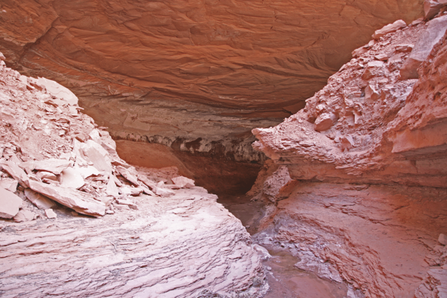
The view from the upper entrance.
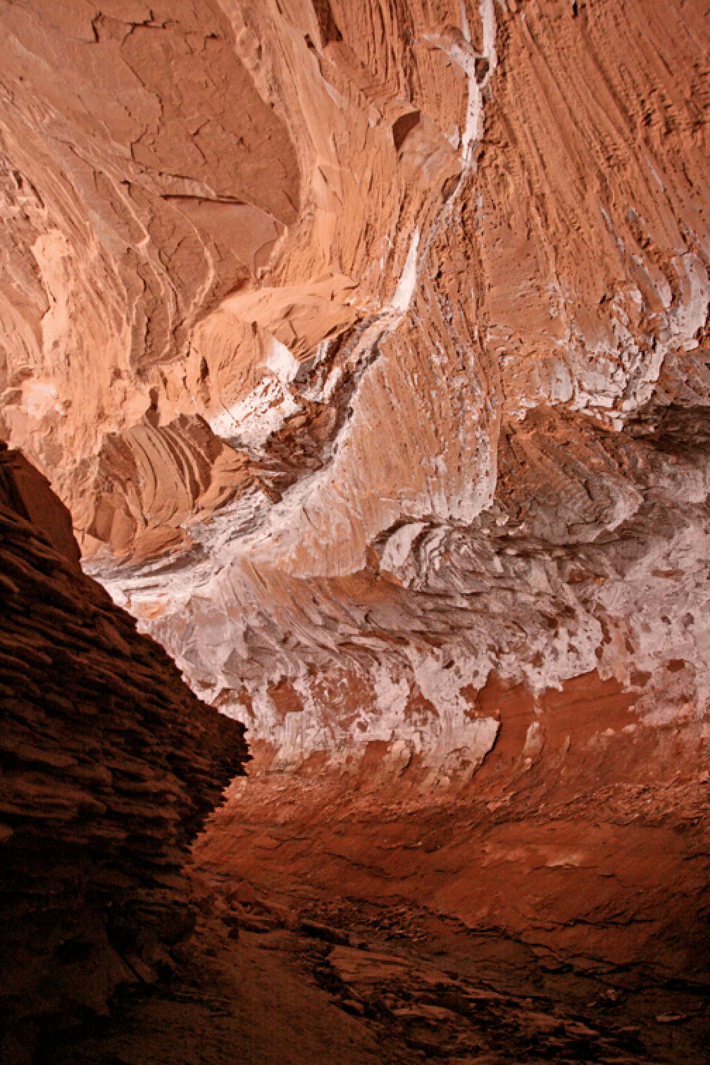
At the rear of the cave.
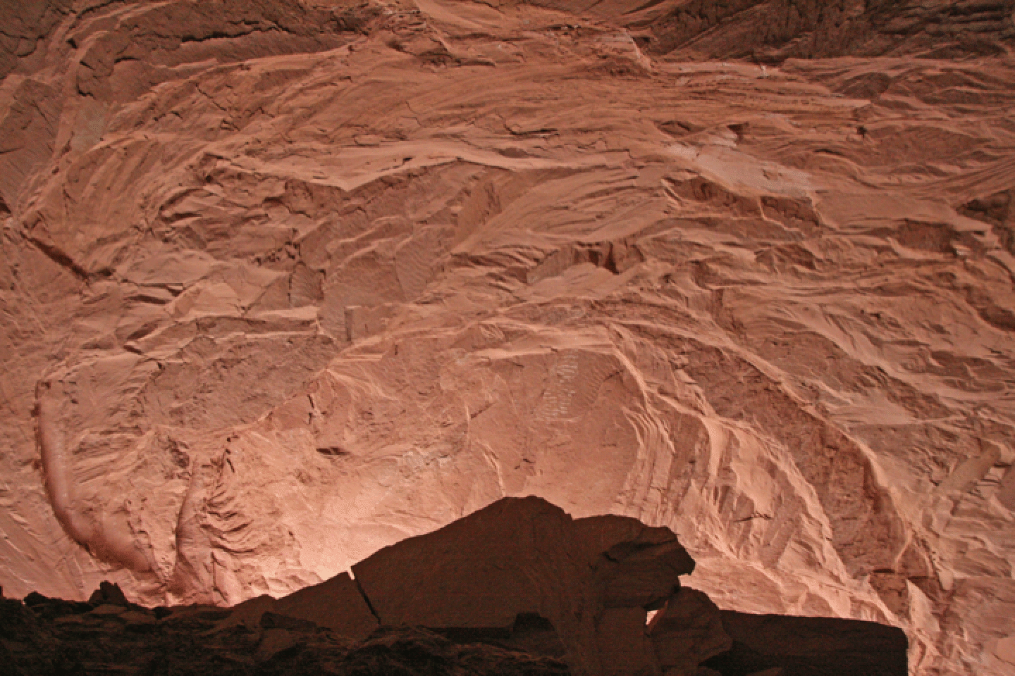
The roof.
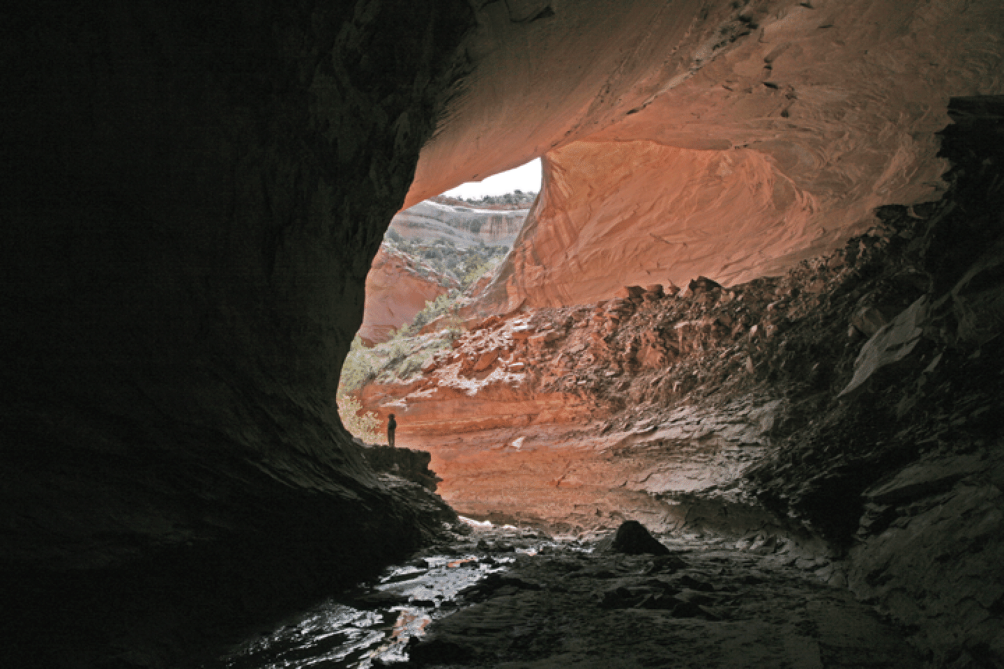
Loooking out to the water’s exit point.