Valenciennes Base Camp, April 2015
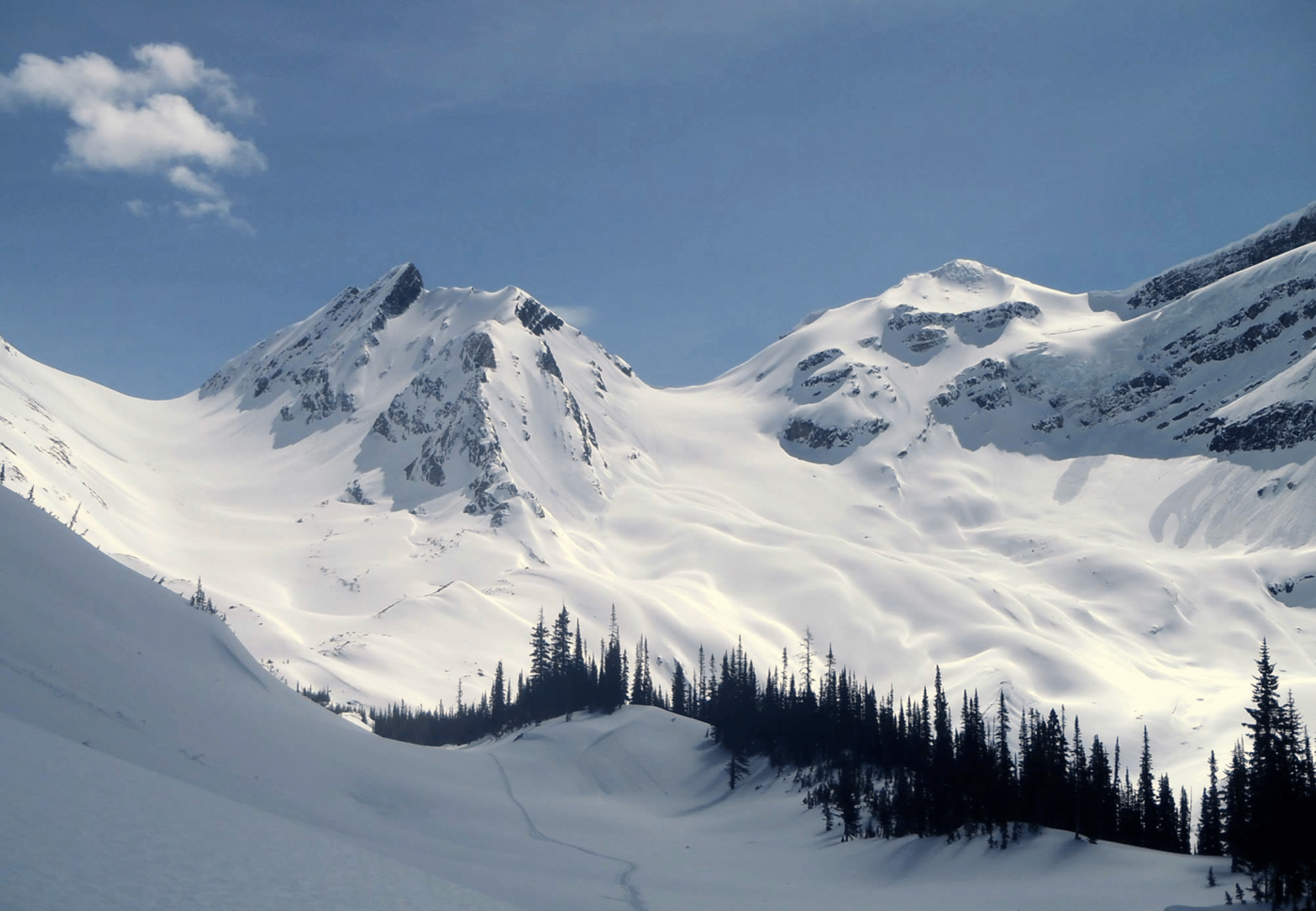
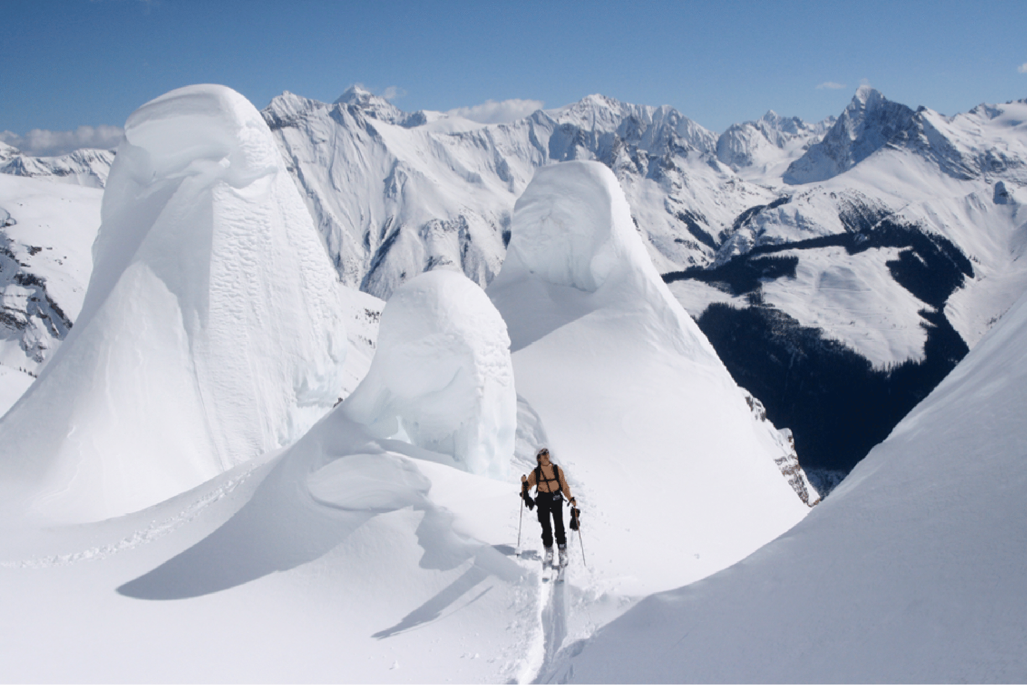
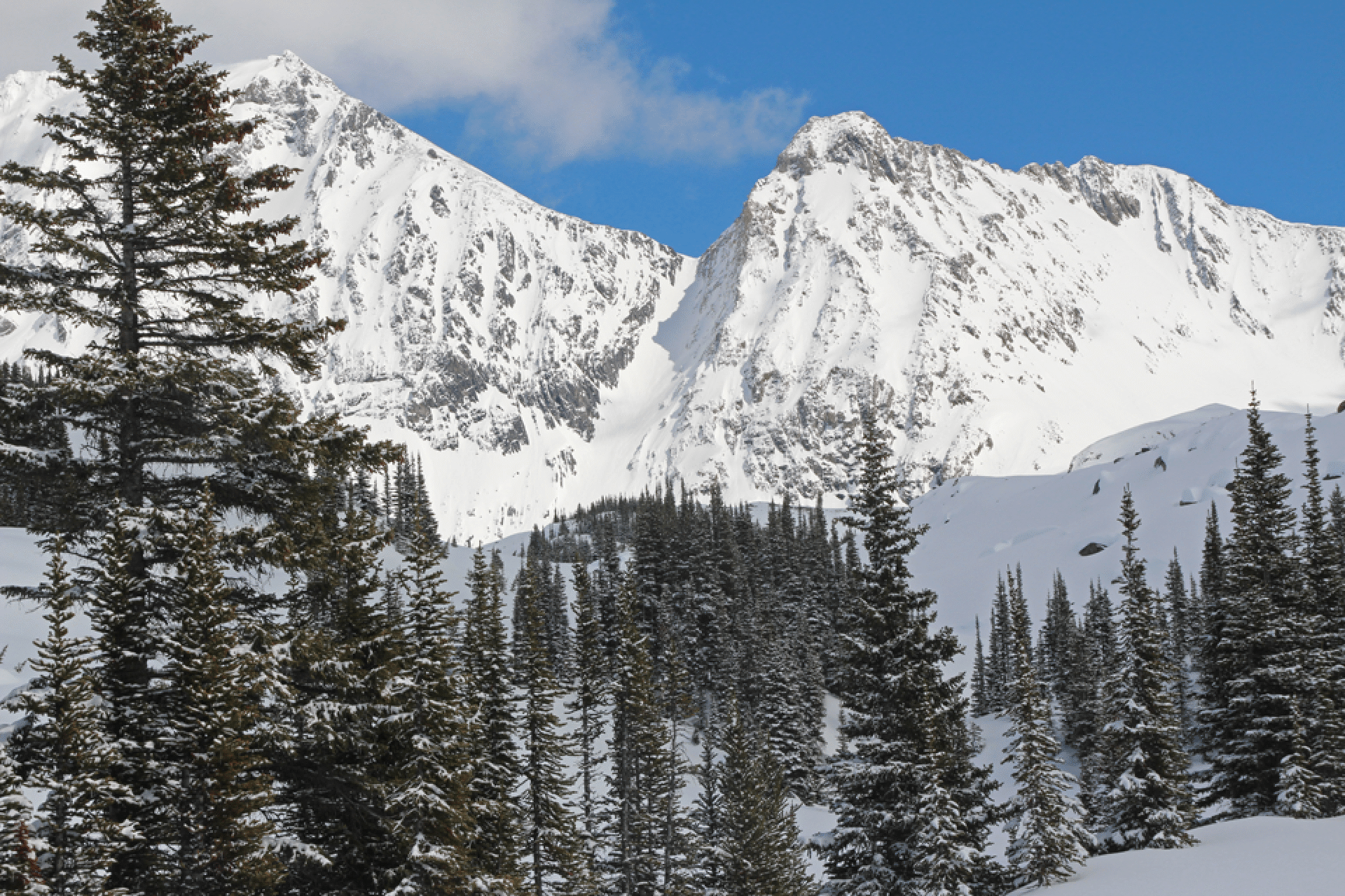
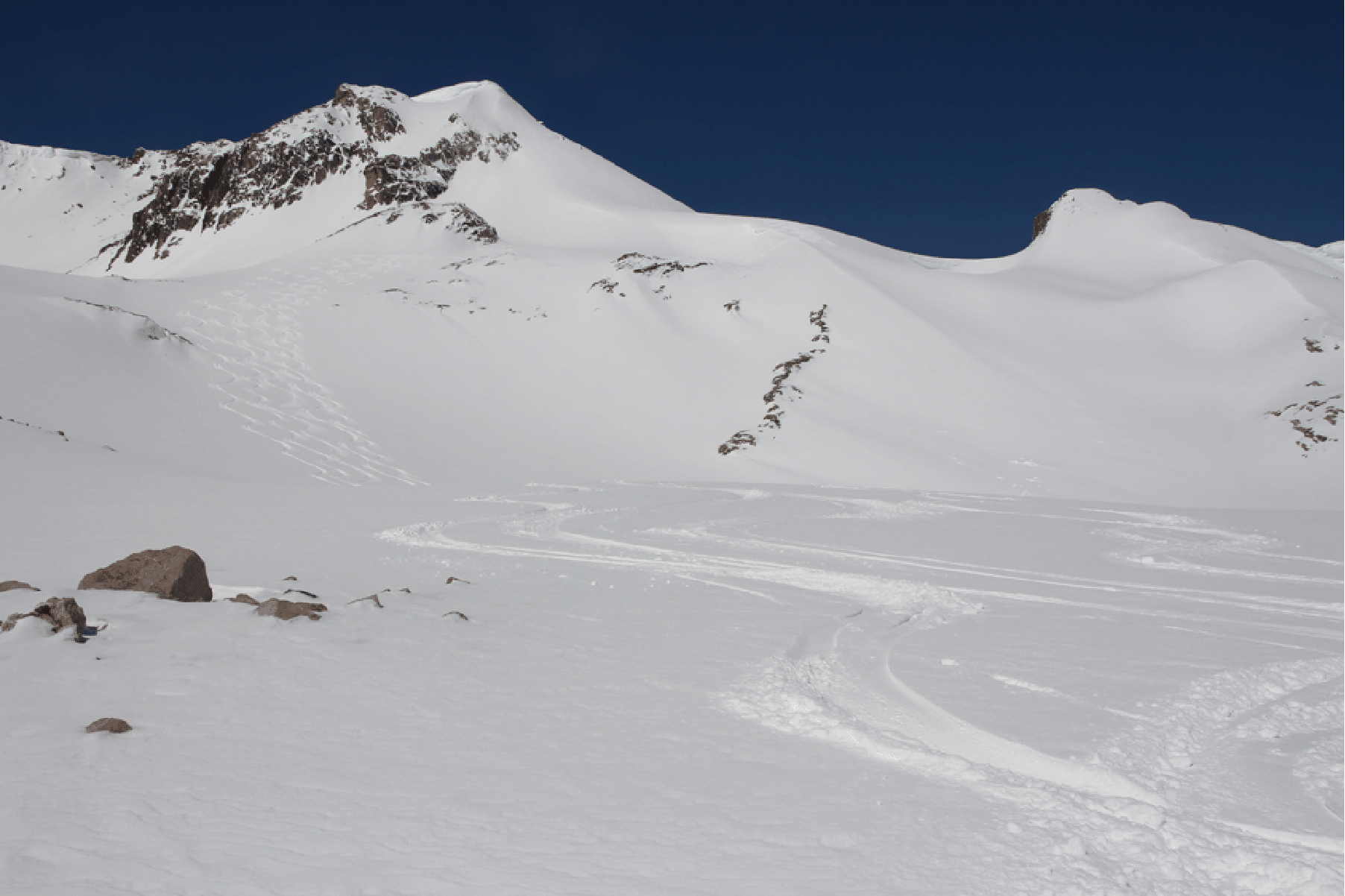
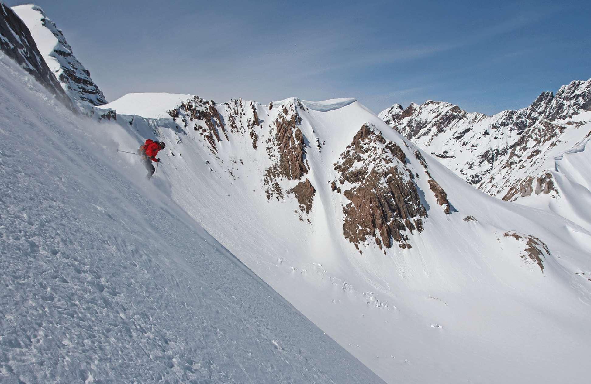
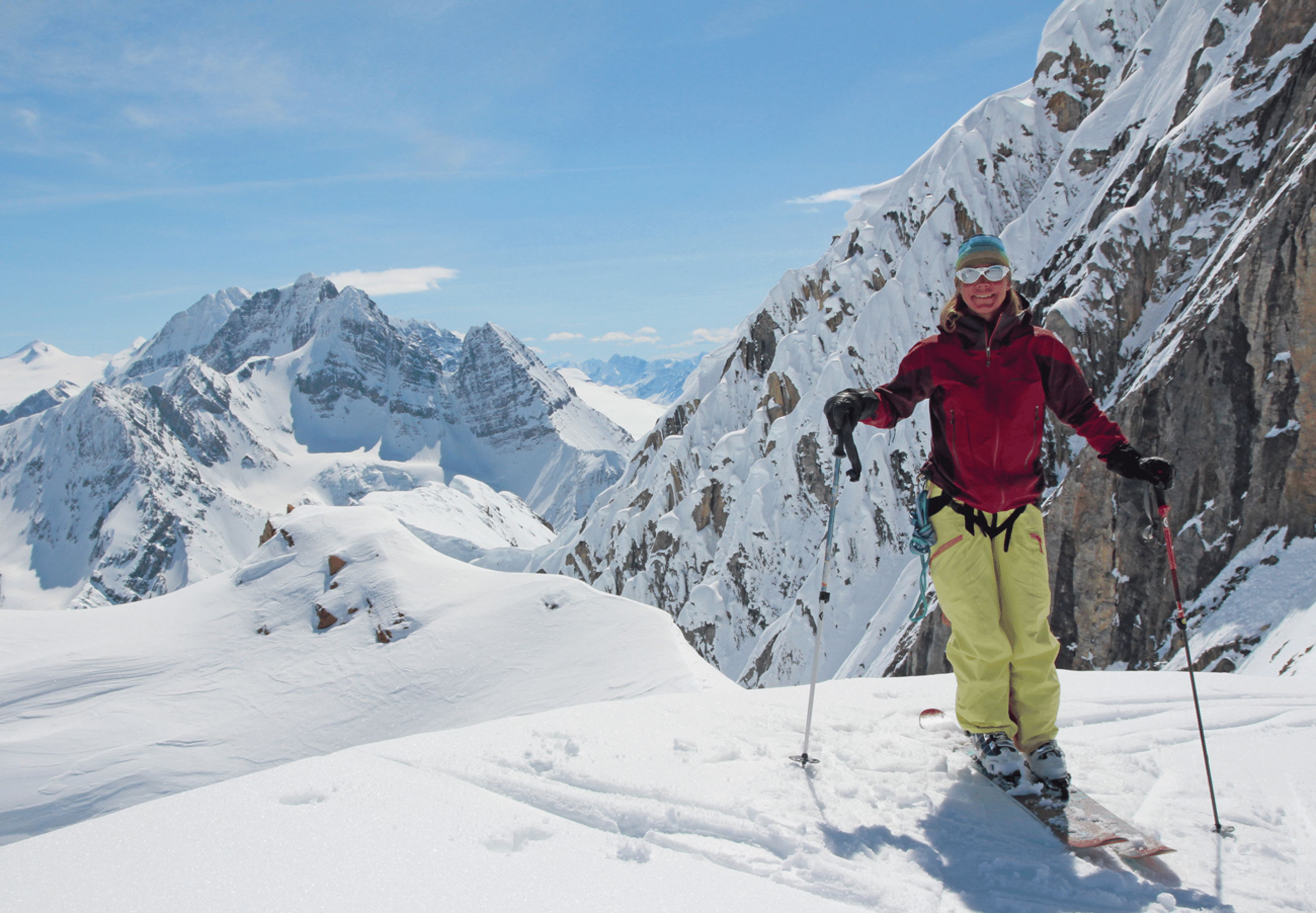
Kim Clark shreds alpine powder in the inexhaustible playground of the Continental Divide at the head of Forbes Creek. The pass at right is the access from our camp in Mons Creek. The peak at left is Valenciennes Mountain. The cornice in the center is extremely interesting and described in the report and photos.
Photos
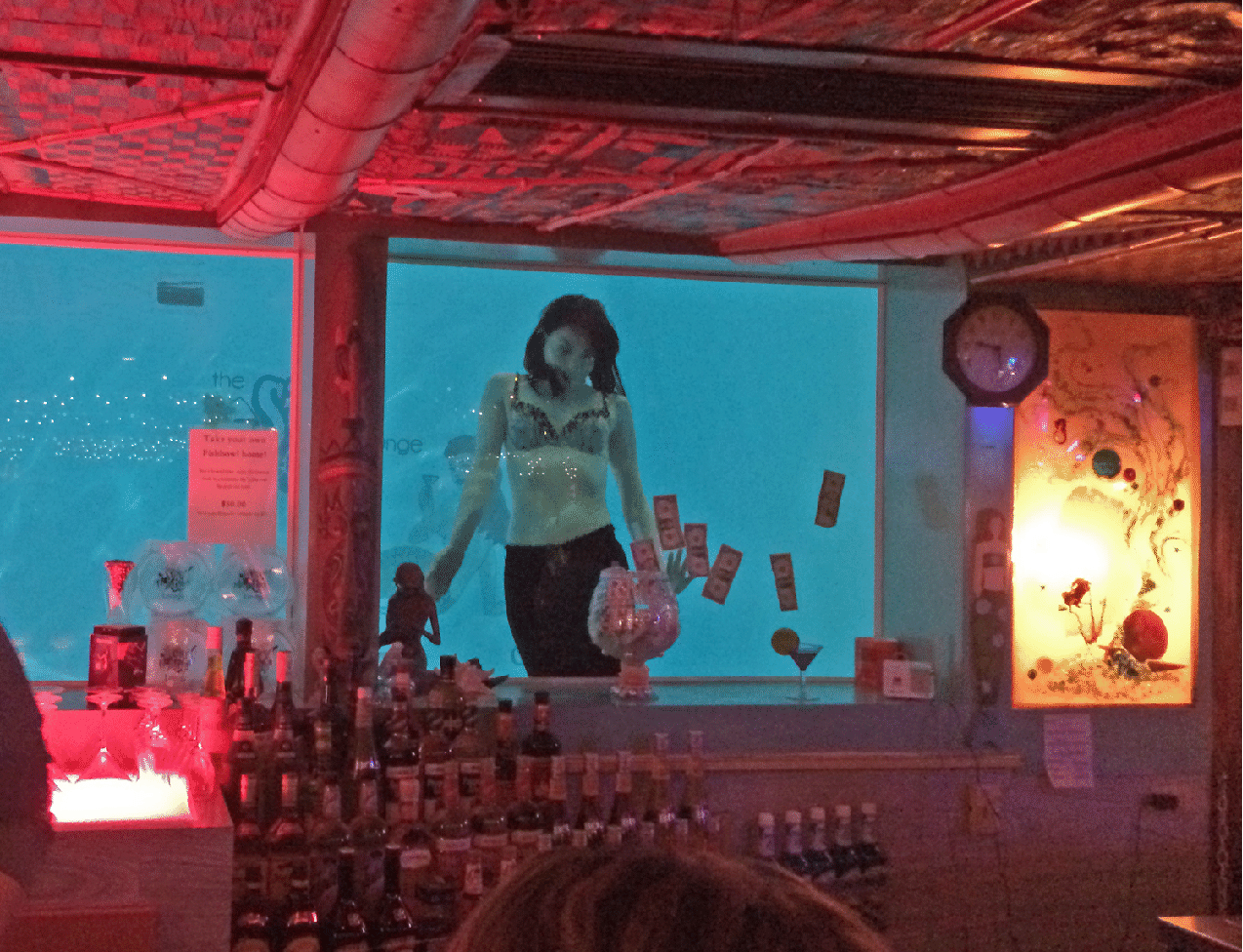
On the drive up we stayed at the O’Haire Motor Inn (Great Falls, Montana) and had dinner at the famous Sip ‘n Dip Lounge as the mermaids frolicked. Bizarre.
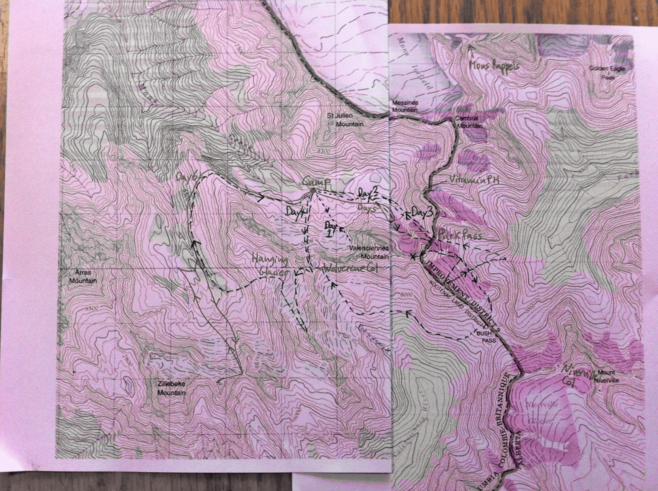
The map of our runs (made by Pierre); the names are our informal names. The gray line is the Continental Divide and the Alberta–British Columbia border and the border between Banff National Park (no helicopter landings) and the forest land of B.C. (helicopters anywhere).
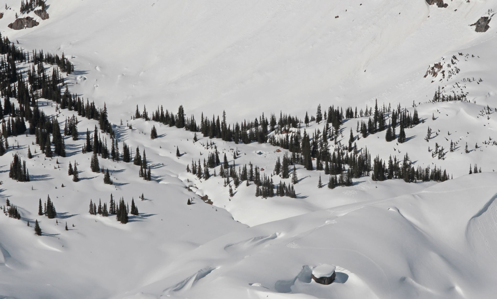
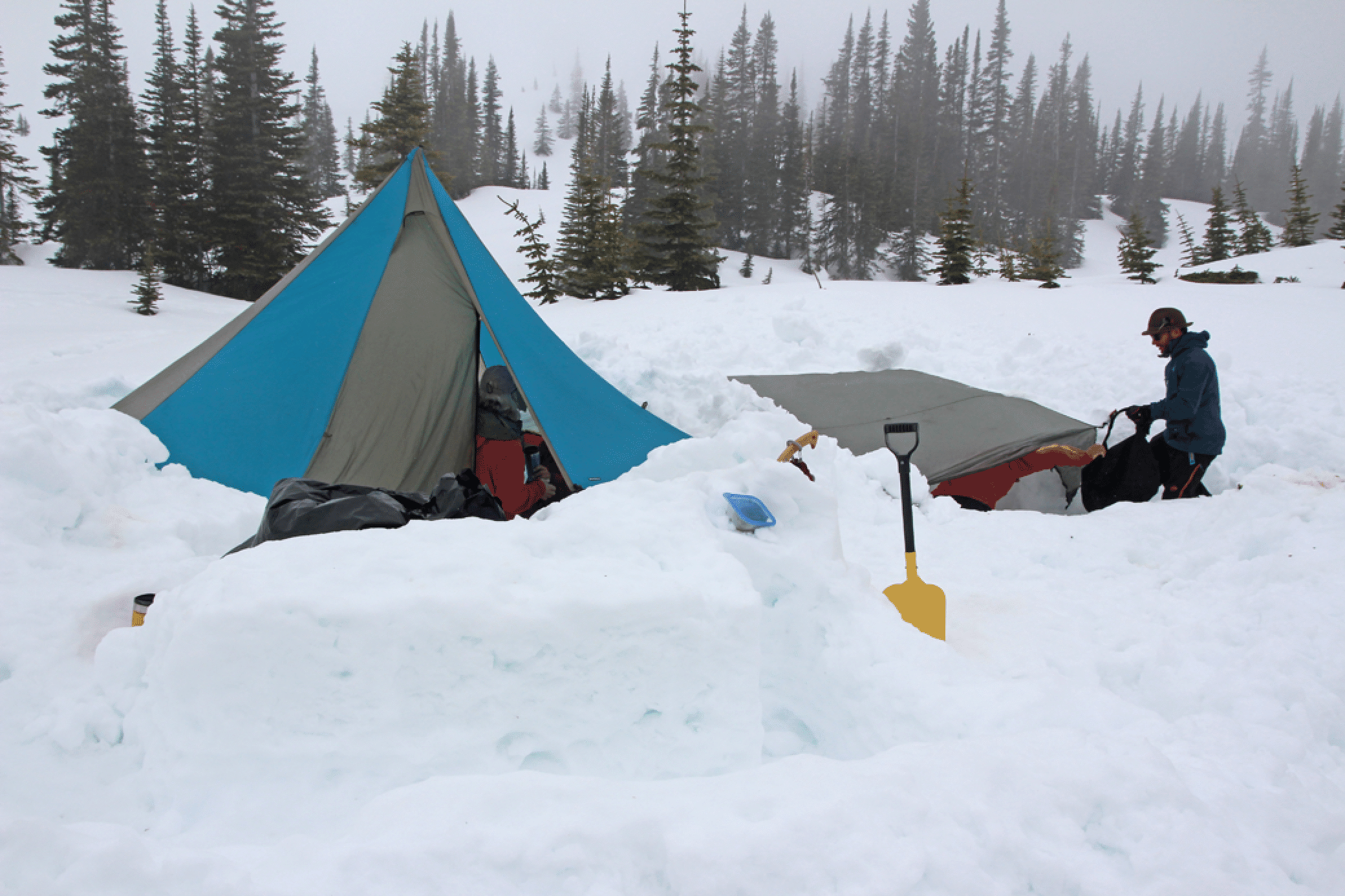
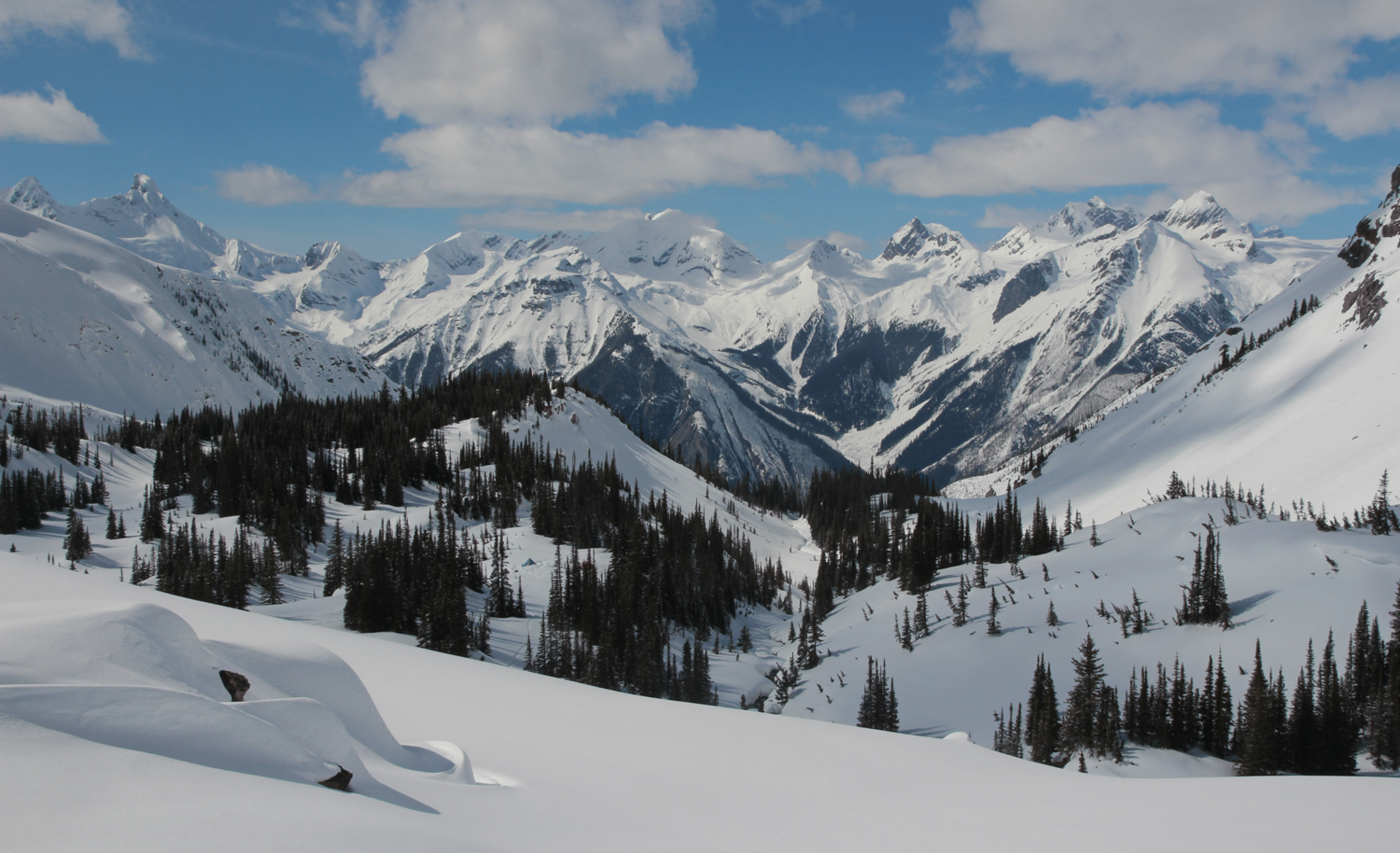
Our camp was in a nice sheltered location. The helicopter landed in the clearing slightly above camp, clear of the trees. This is in the north-facing valley forming the head of Mons Creek, just south of Icefall Lodge.
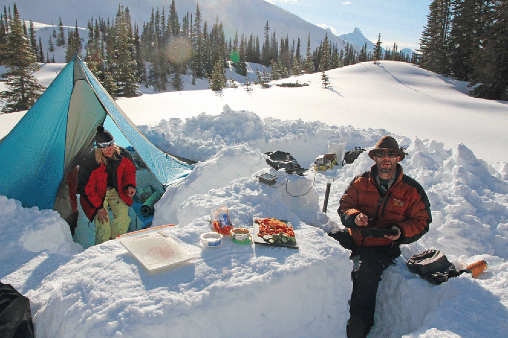
The cook tent and pantry. Digging deeply under the megamid gave a nice large space for cooking and eating, though it provides little insulation. This photo is from the storm day, Wednesday.
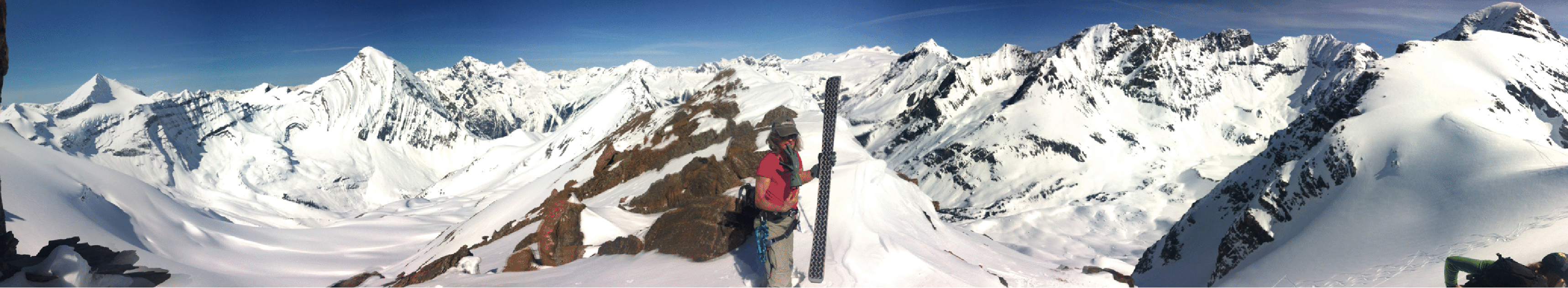
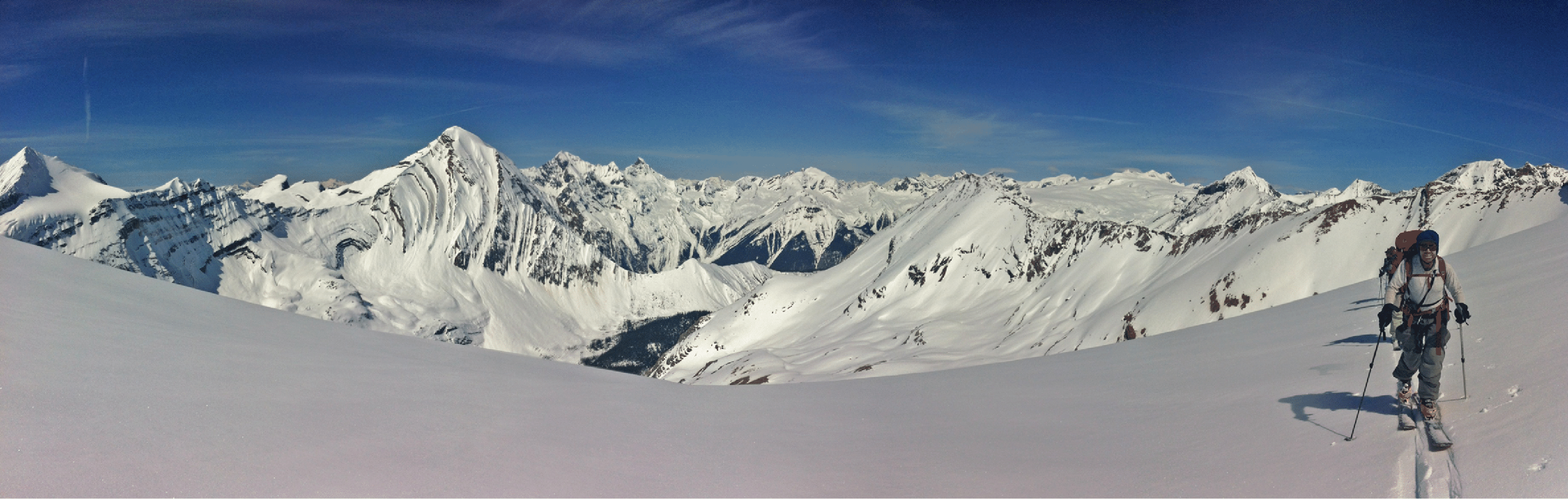
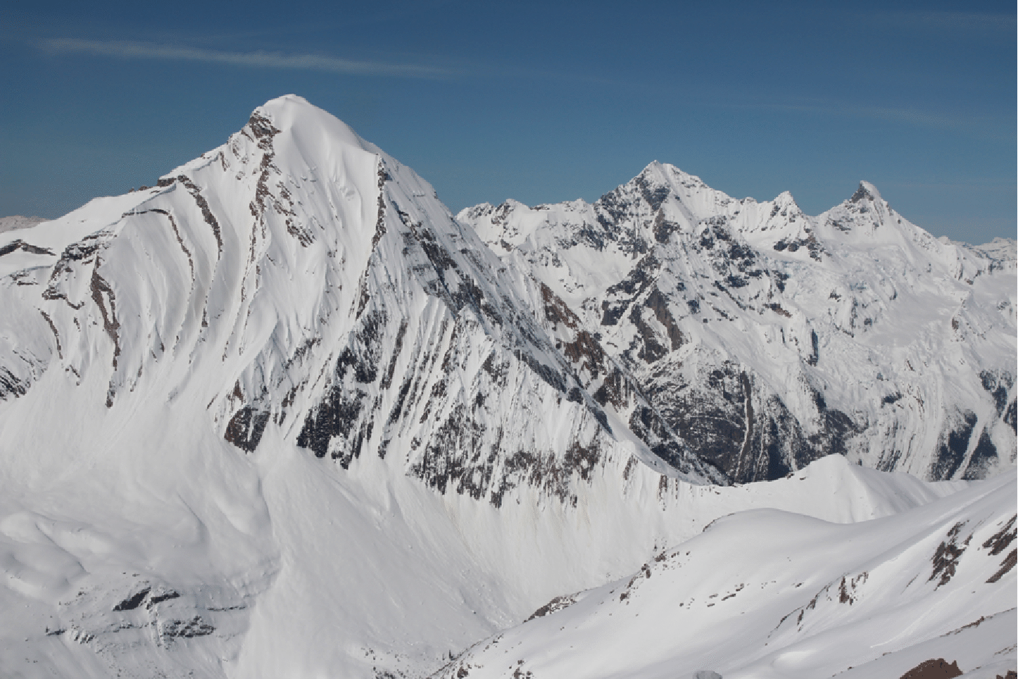
To put the location in context, look at the right side of this image, taken from below Icefall Peak. The tall dark peak is Valenciennes. The pass just left of the shadow is our Park Pass. The steep ski run to its left, in shadow, is Vitamin PH. Our camp was at tree line just below the tip of the shadow of Valenciennes Mountain. The broad white slope in front of Valenciennes (part of its extended N Ridge) is one we crossed three times to access the valley at the right edge of the frame.
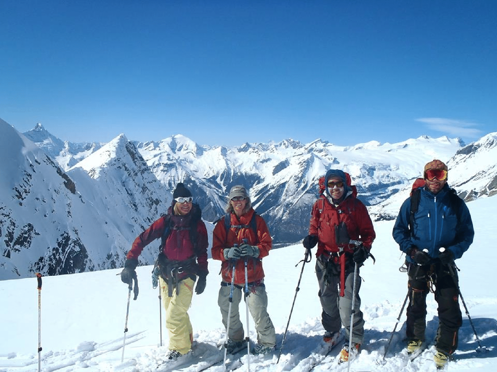
The team: Kim, Katie, Stan, Ben. Icefall, Kemmel, Lyell peaks behind. (Photo: P. Hungr)
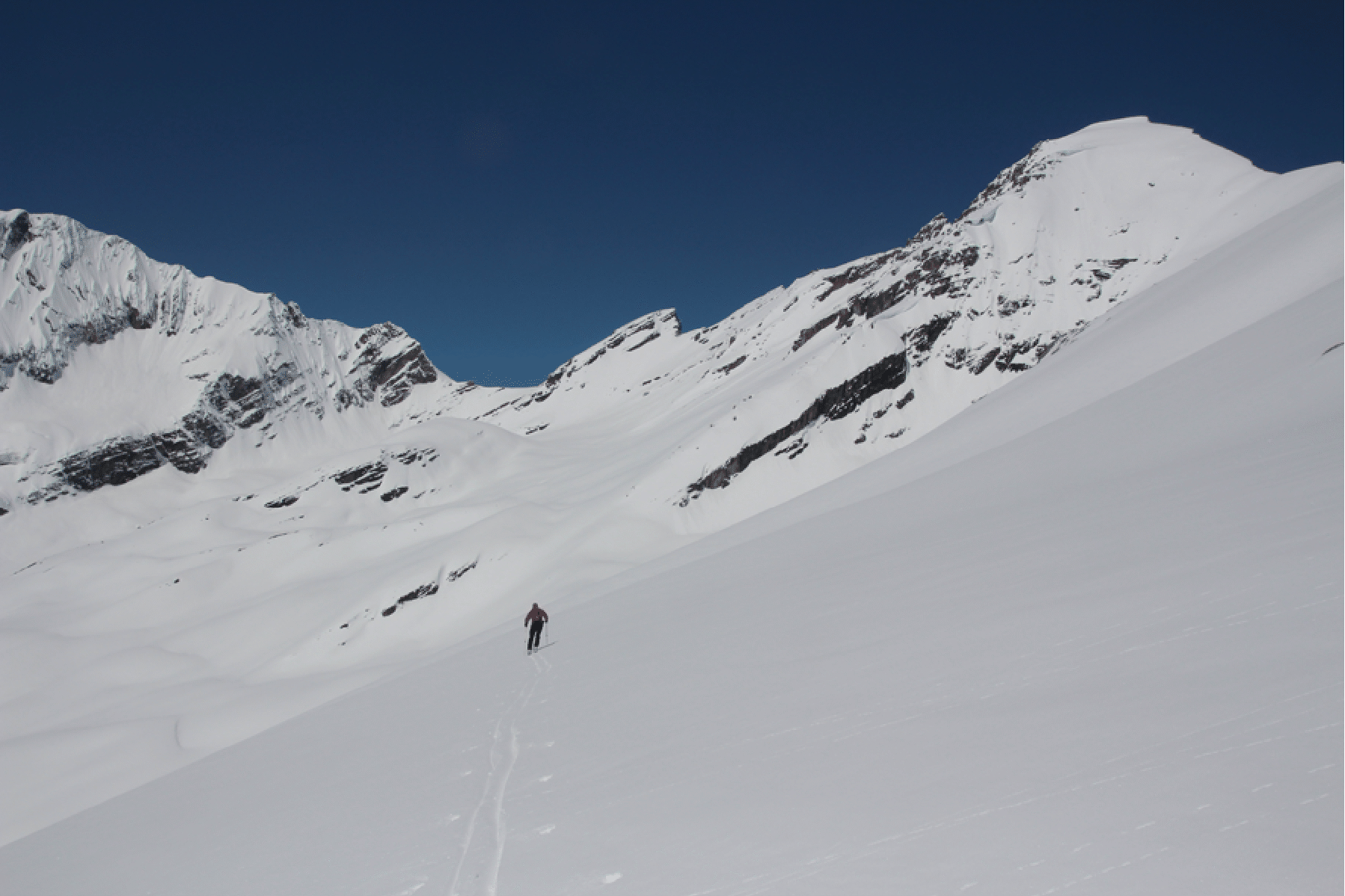
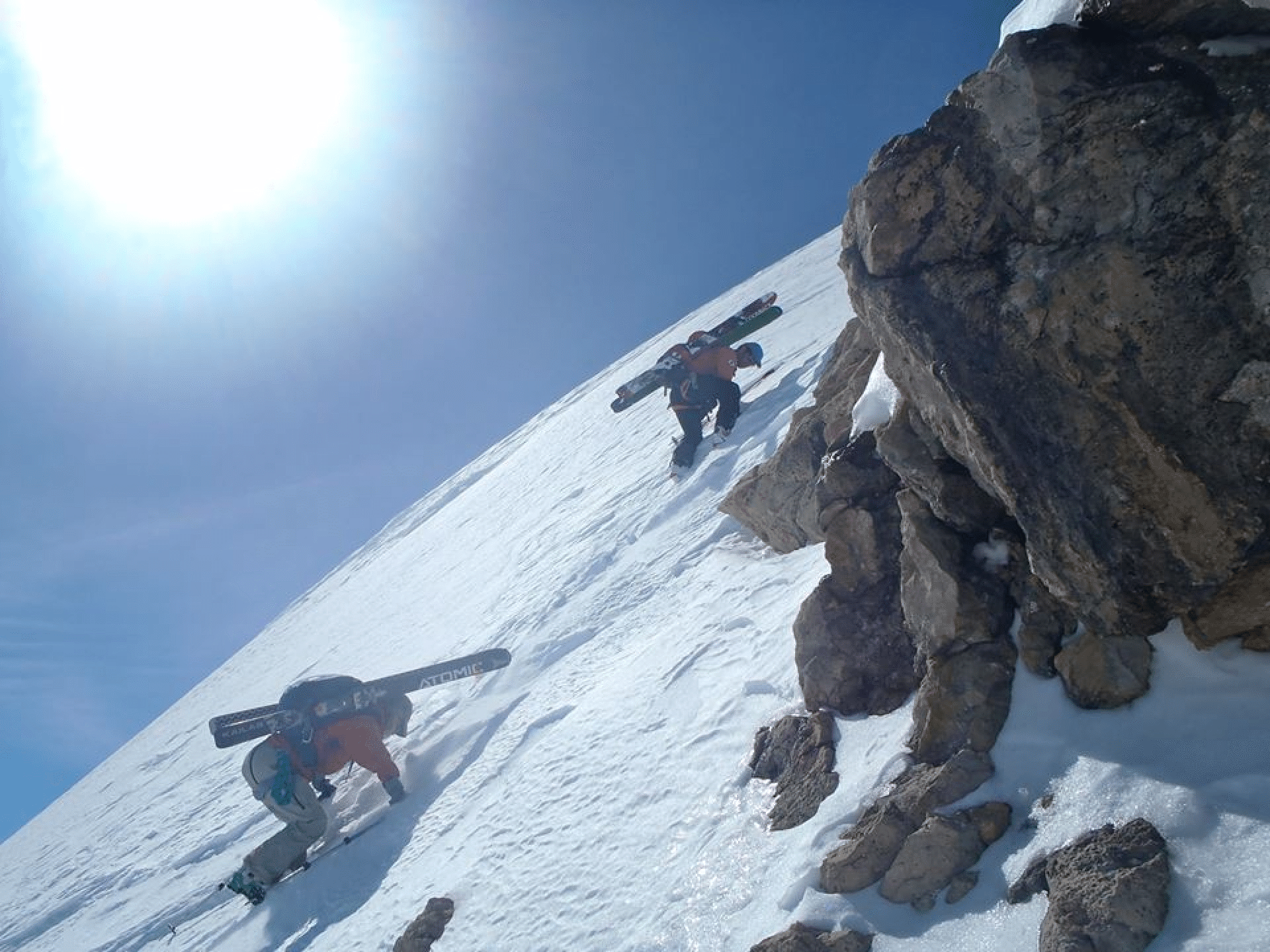
The initial southward climb from camp to Park Pass on the Continental Divide.
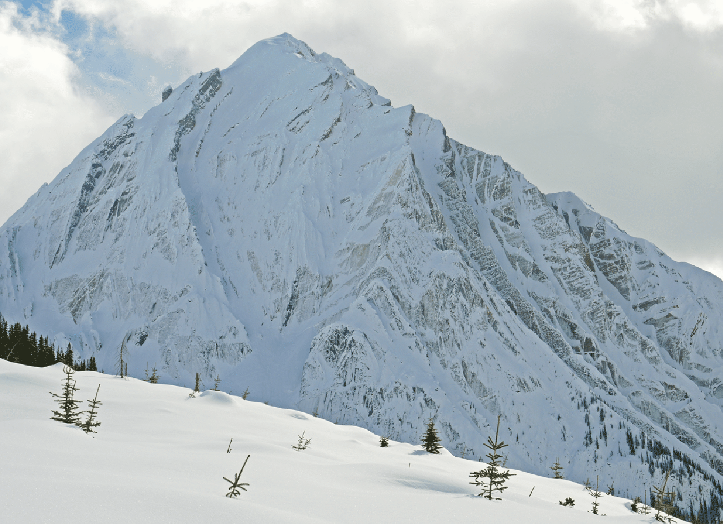
A nice couloir that we never got to. It looked very much like Vitamin P at Icefall Lodge so we took the liberty of calling it Vitamin PH (after our guide), but it remains unskied.
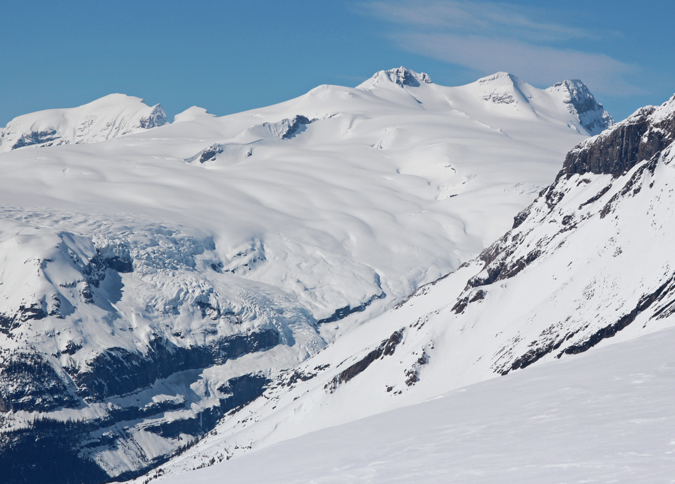
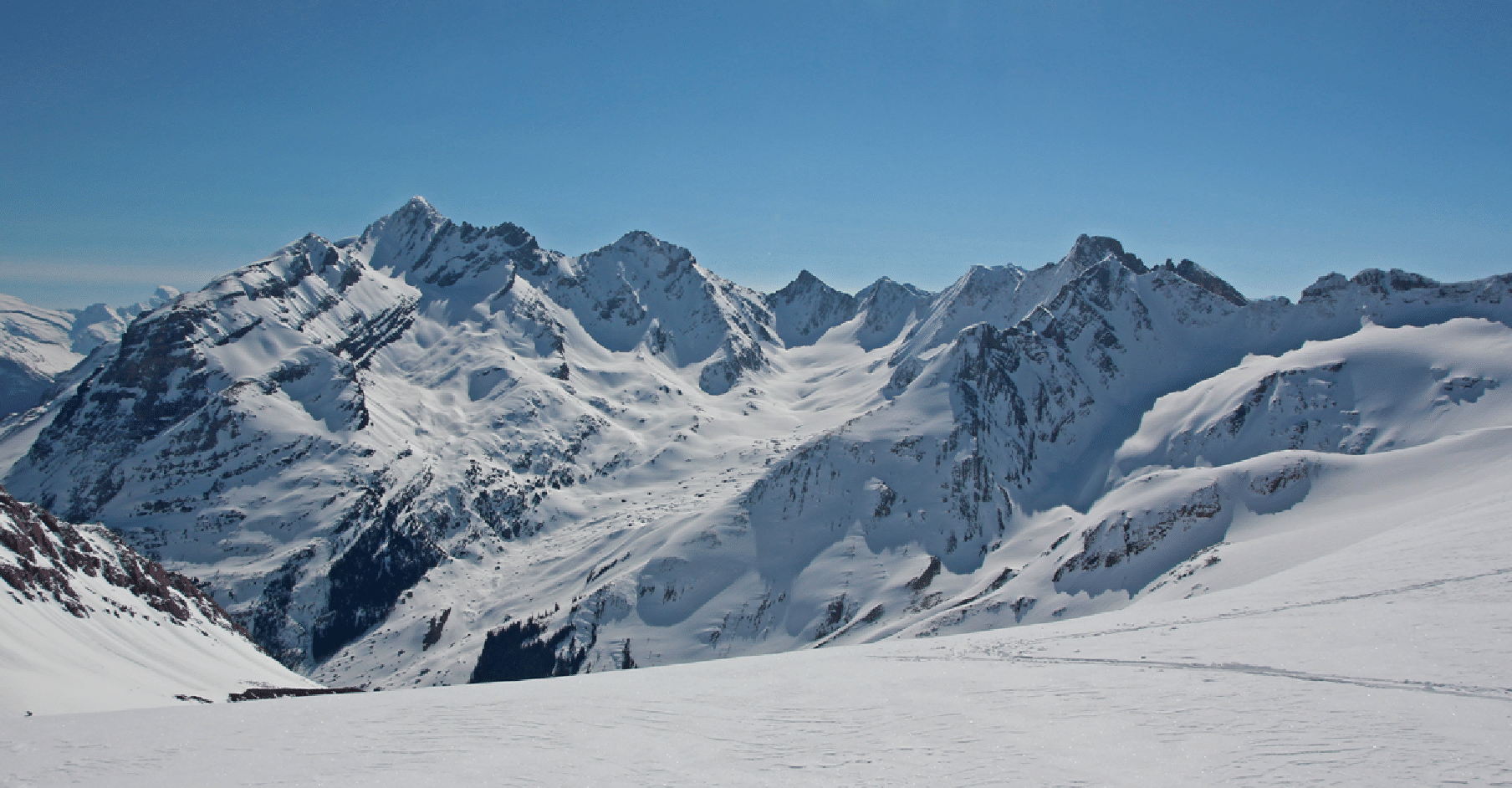
A view of the Lyell Icefield, peaks Lyell 3, 4, and 5 (right to left), and Icefall Icefall (the icefall for which Icefall Lodge, Brook, and Peak are named). In 2012 we were at the Lyell Hut on the small plateau between the two nunataks (rocks); from there we skied to near the summit of Lyell 5 (Christian), walked to the true summit, and then skied down the face and down to below the toe of the icefall, a 5000-foot run. The hut is just visible as a dot in this image, just right of the top of the lower nunatak. The bump left of Lyell 5 is known as Twilight Peak.
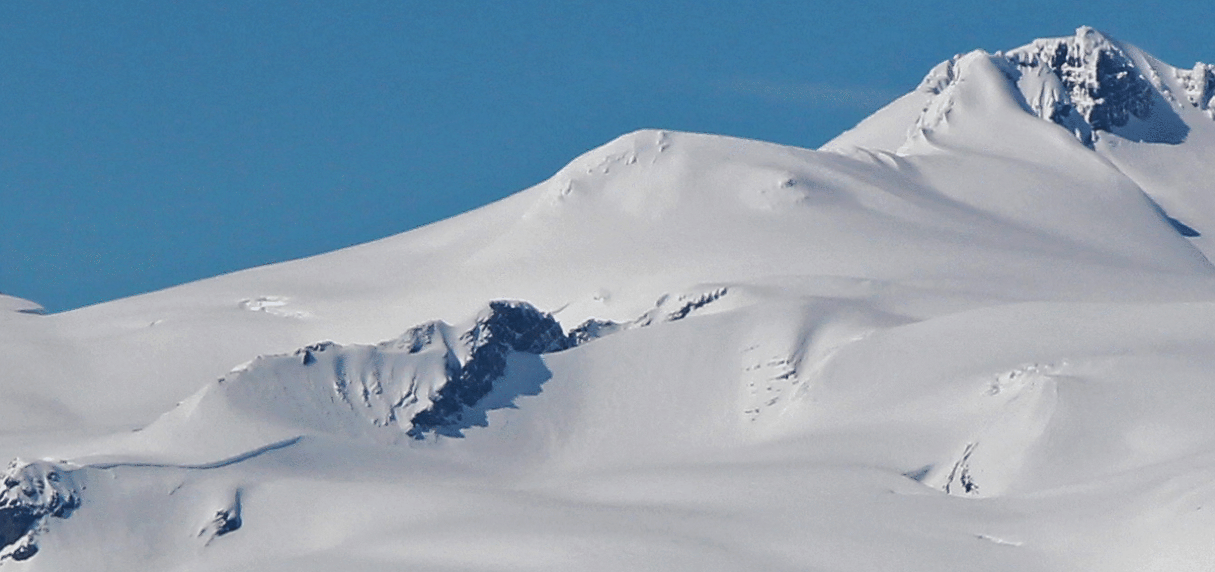
Here is a closeup from the previous image that shows well the route from the Lyell Hut to the top of Lyell 5. Hut is at bottom left. The lovely slope at top right (left of Lyell 5 summit) is what we skied in 2012 on the Lyell traverse.
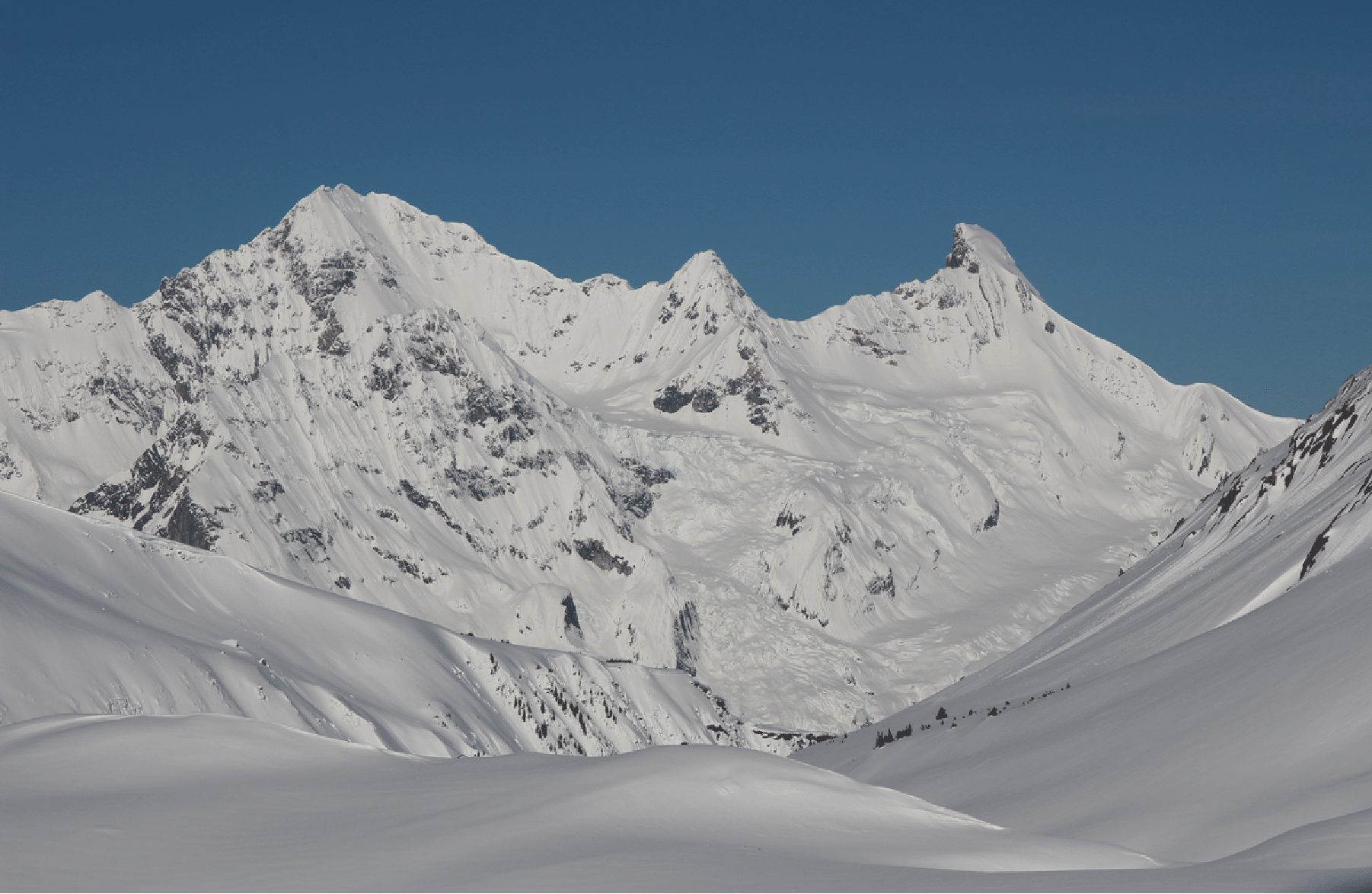
Icefall (right) and Rostrum Peaks, with the Diamond Glacier under Icefall and the Tempest Glacier under Rostrum. This view shows the exposed and steep ski line that is occasionally done to the very top of Icefall Peak, from Icefall Lodge.
Our first ski run on Sunday, on the Alberta side of “Park Pass” at center. On the next day we skied and climbed up the slope above the large rock features at left to the small summit.
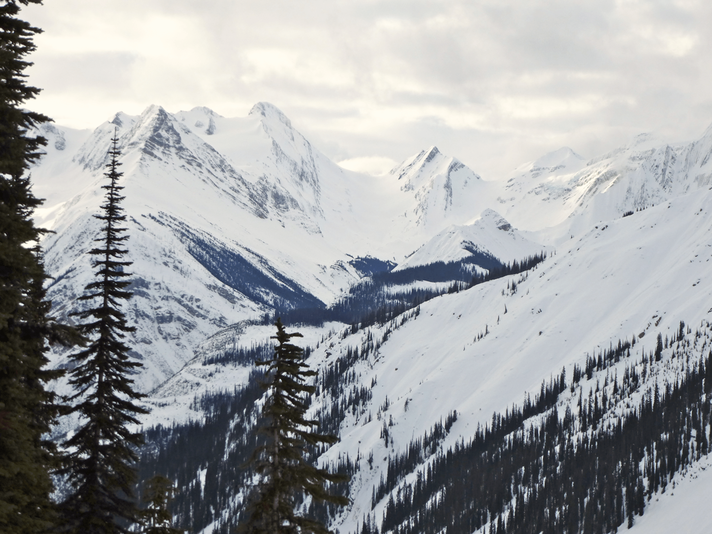
The view down Forbes Creek with Nivervel Peak and Col at the right. We considered going through this col on our 2003 Mons-to-Mummery traverse, but went down Forbes Creek and around to Freshfield Lake instead. This view shows how our playground was nicely placed at the very head of Forbes Creek.
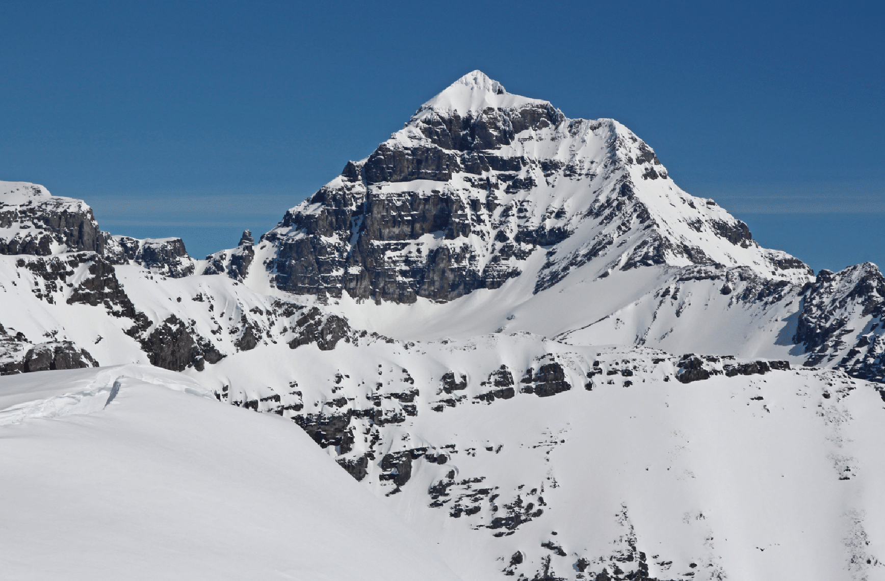
This is near our low point as we circled Valenciennes Mountain. Pangman is the peak in the rear center. It was a big climb from here to the col leading to camp. I guess I need lessons in applying sunscreen. Photo: Pierre Hungr.
Our route around Valenciennes took us on a final climb past a face that looked Andean. Later in the week we climbed to the prominent col just right of this face from the other side.
The route back to camp on our first day was by the large col below (“Wolverine Col”), which was quite steep and mushy and somewhat dangerous to ascend. This was a committing loop on terrain we did not know and so very satisfying to complete; and it ended with a 2000-foot powder descent to camp.
After the descent to camp, with the rock walls of the north ridge of Valenciennes Mountain. Photo by Pierre Hungr.
The long descent (2000 ft) back to camp to end our day was exquisite. Two days later we ascended this slope and traversed right to the notch at the right edge of the photo.
Happy hour after a big ski day.
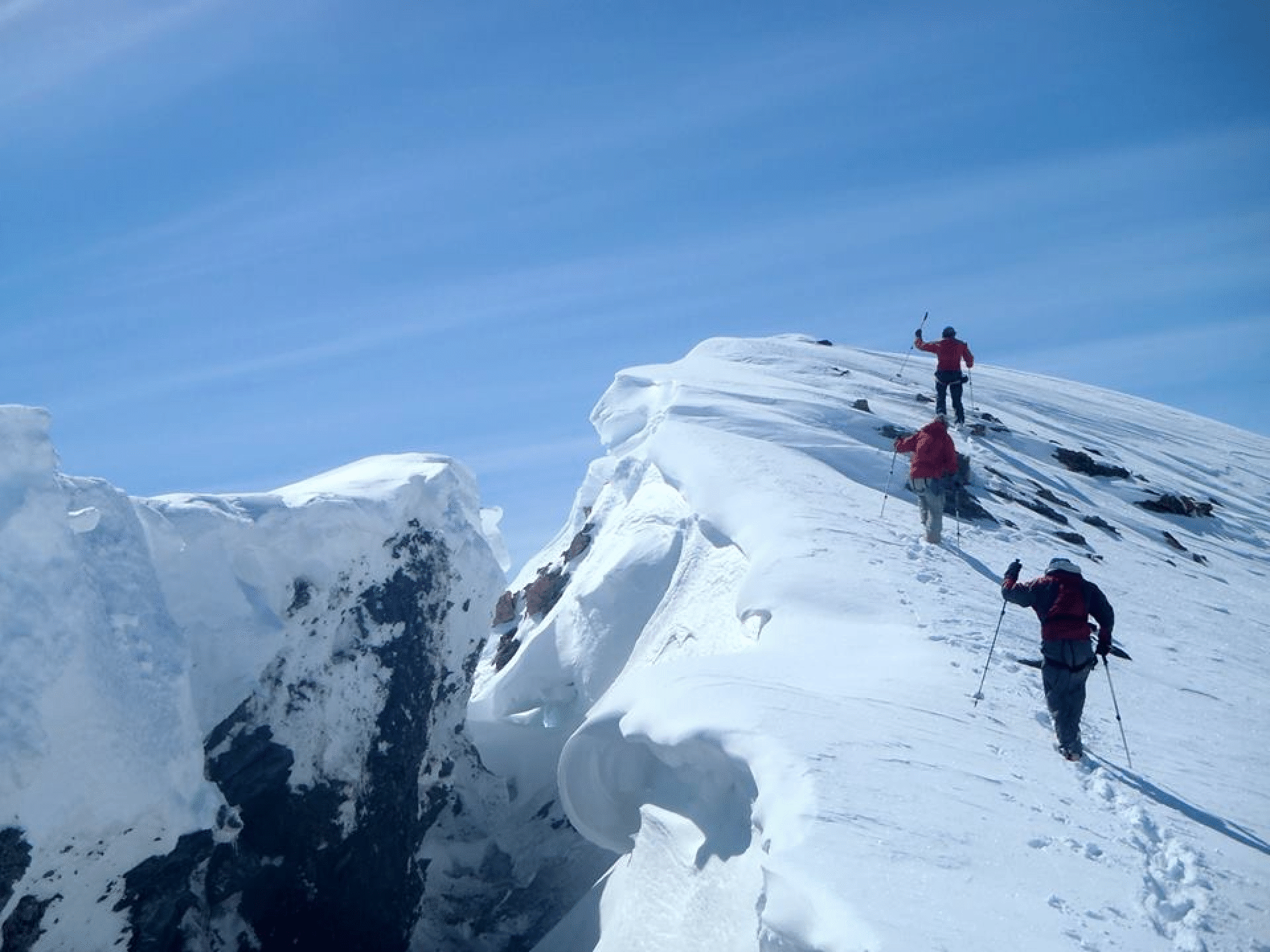
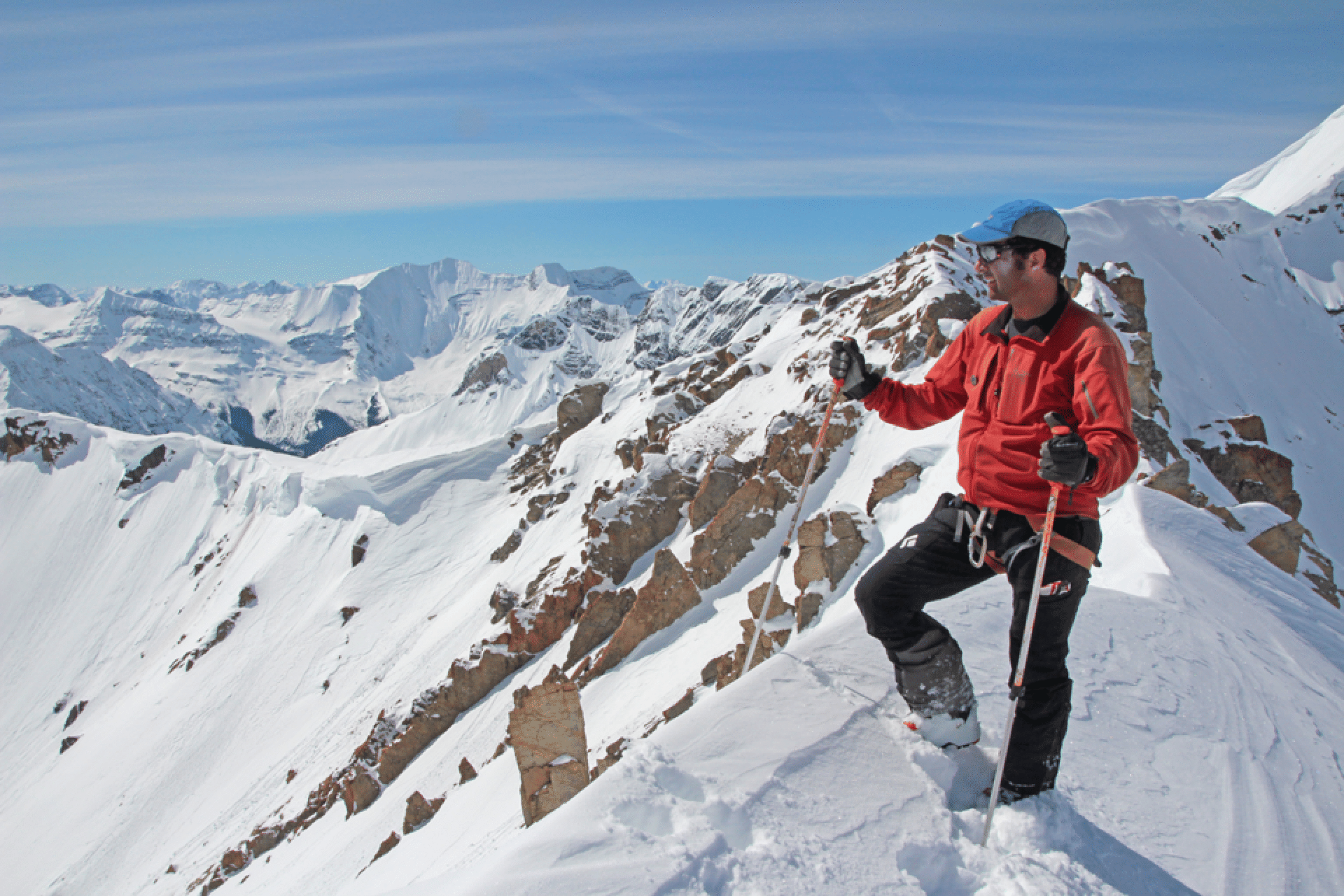
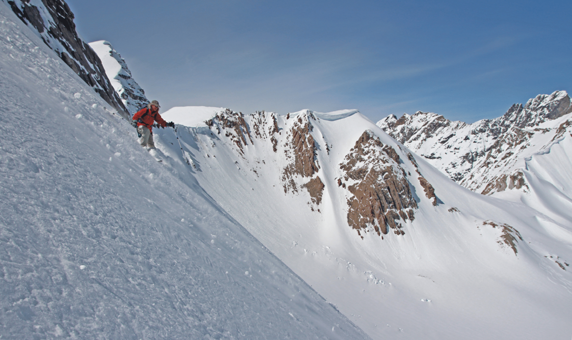
Day 2 began with a difficult climb to a bump above an interesting cornice. The final boot to the top was very steep and the spot where Katie is had a lot of sugar snow, causing me difficulty when my turn came. We were able to ski down this slope, the steepest of the week. (Photo: Kim Clark)
The giant detached cornice atop this bump was, remarkably, lined with rock on its cut side. The next photo shows the rocky face of the cornice as we walk to the top of “Cornice Bump”. (Photo: Kim Clark)
A view back to the cornice. First photo is by Pierre.
Guide Pierre Hungr at the top of Cornice Bump. Valenciennes rises behind, but there was not an easy way across this ridge.
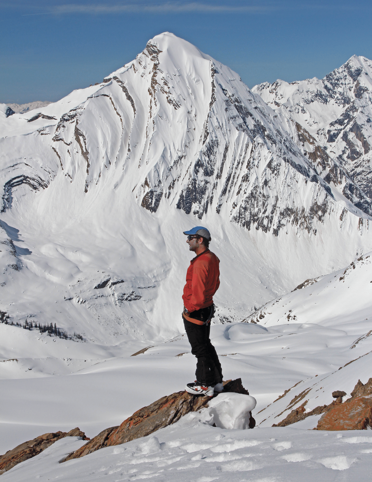
The views of the west side of Mt. Forbes were fantastic. Katie, David Nebel, and I climbed Forbes in 1999, via the north face with a finish on the snow ridge at left.
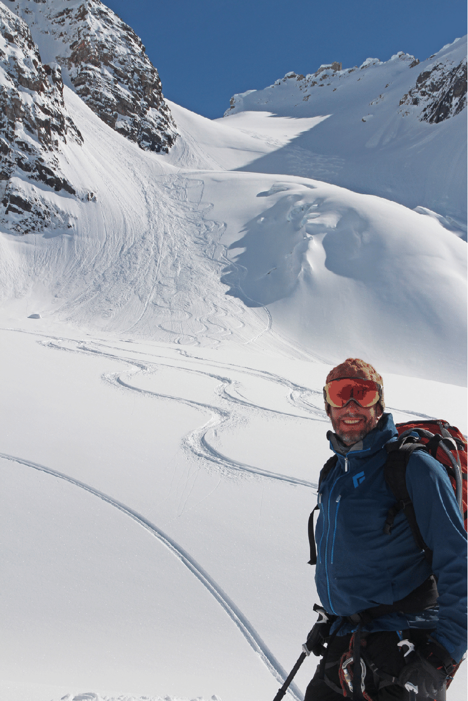
After descending Cornice Bump in one long run, we ascended a clean slope farther south which offered yet another long powder descent. That was followed by the climb to Park Pass and a third long descent back to camp. The three runs gave us 5100 feet. The next four shots show this nice run at the top. The large cornice in the center is the cornice of Cornice Bump. Park Pass at right. First Pierre, then Kim, Katie, and Ben.
![]()
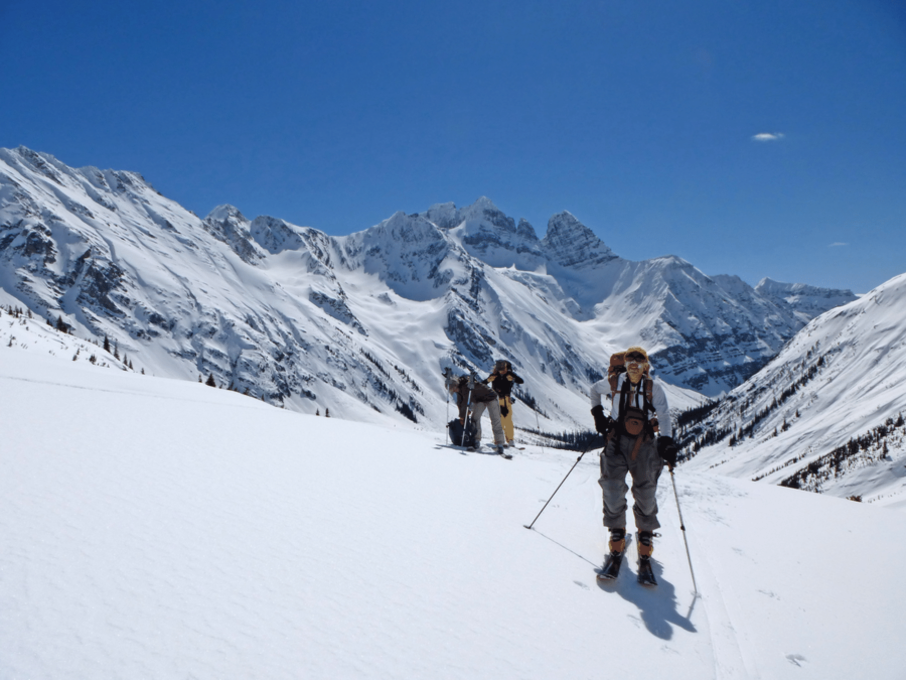
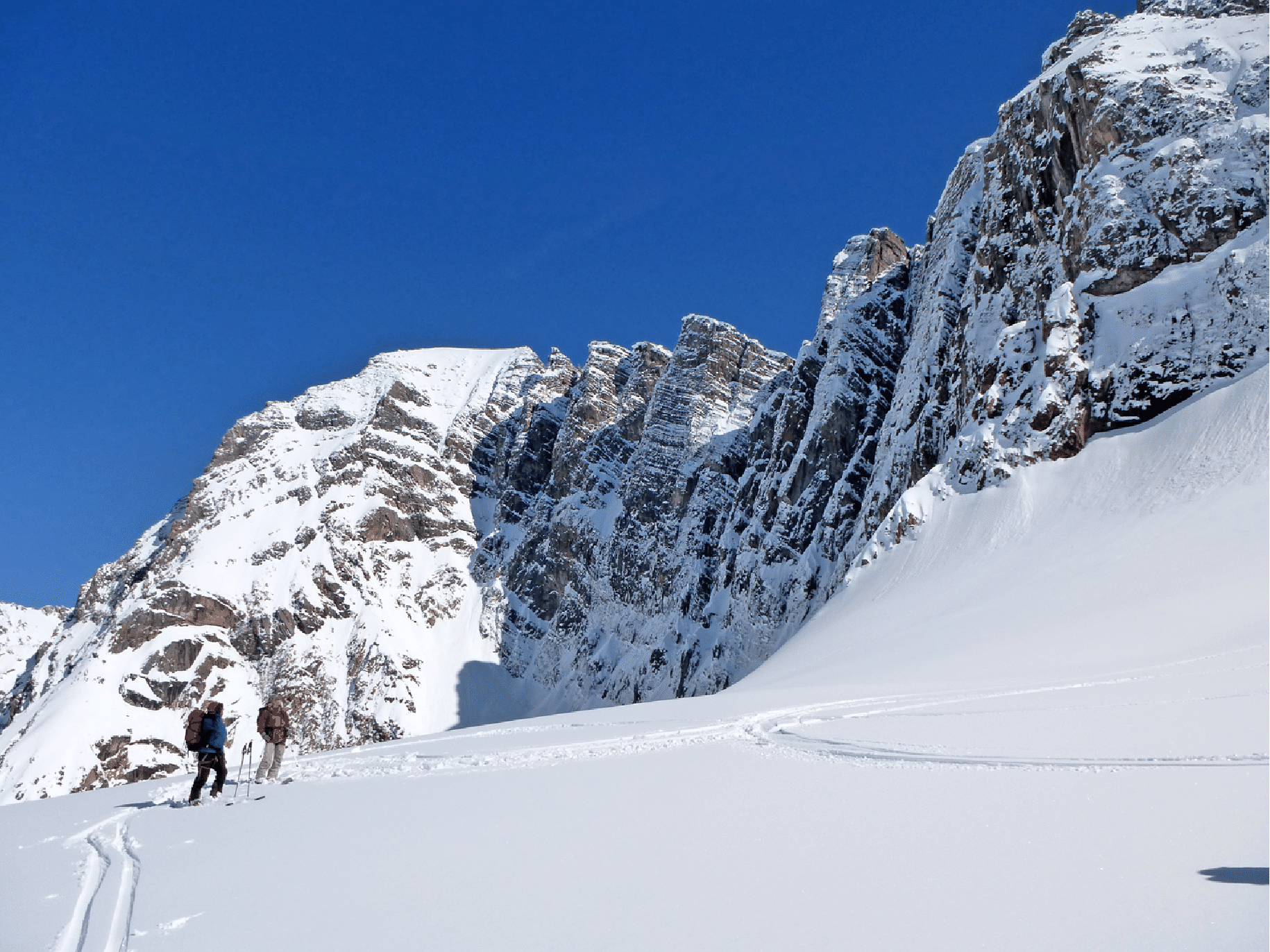
Monday, our third straight day of blue skies and big routes, started with a climb up towards Wolverine Col (Sunday’s final descent), and a traverse before the col to a notch that leads to the next valley west. Here, and many other times on the trip, ski crampons were used.
From the notch we could view Sunday’s tracks from Wolverine Col; Valenciennes behind.
Katie deskins at the little notch. Zillebeke and Arras on the left. Our camp is down the slope that is right of Katie. Valenciennes is the rightmost peak. Our tracks from two days earlier are visible. At very far left is a peak with a distinctive basin on its right. We got into that basin two days later. Photo by Pierre Hungr.
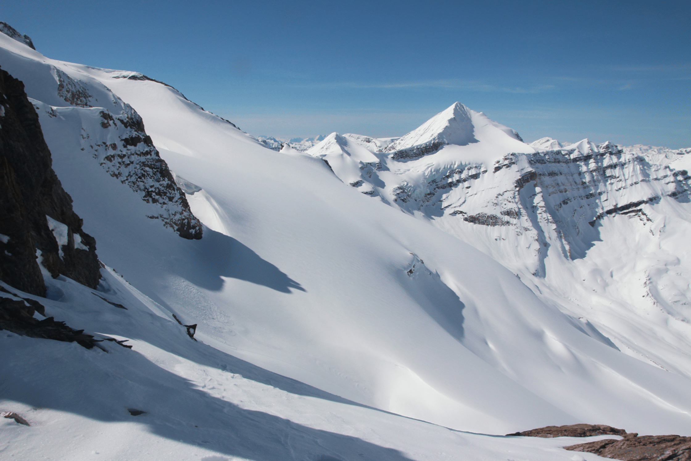
The other side of the notch showed Zillebeke Mountain and the long ski run (giant sunny slope) we were aiming for. But it also showed the steep 300-foot and icy descent we needed to get there. The diminutive bump in the center, with the cool basin on its north (right) side, was our objective a couple days later, but we did not quite get to the top; close.
Pierre was very happy at this notch, which gives access to a gigantic valley with many superb runs. He had looked at this valley over eight years working at Icefall Lodge. Arras is the peak.
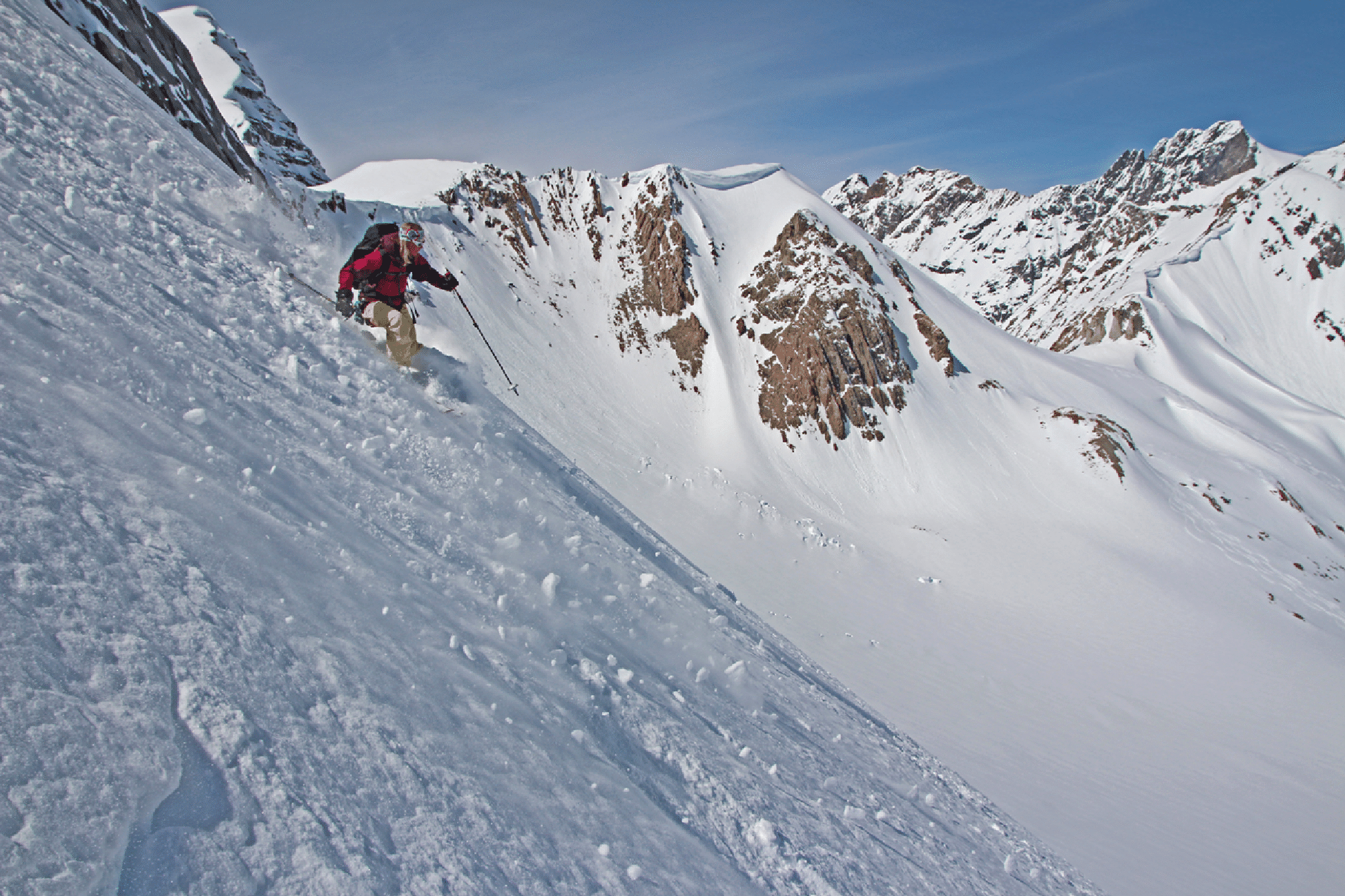
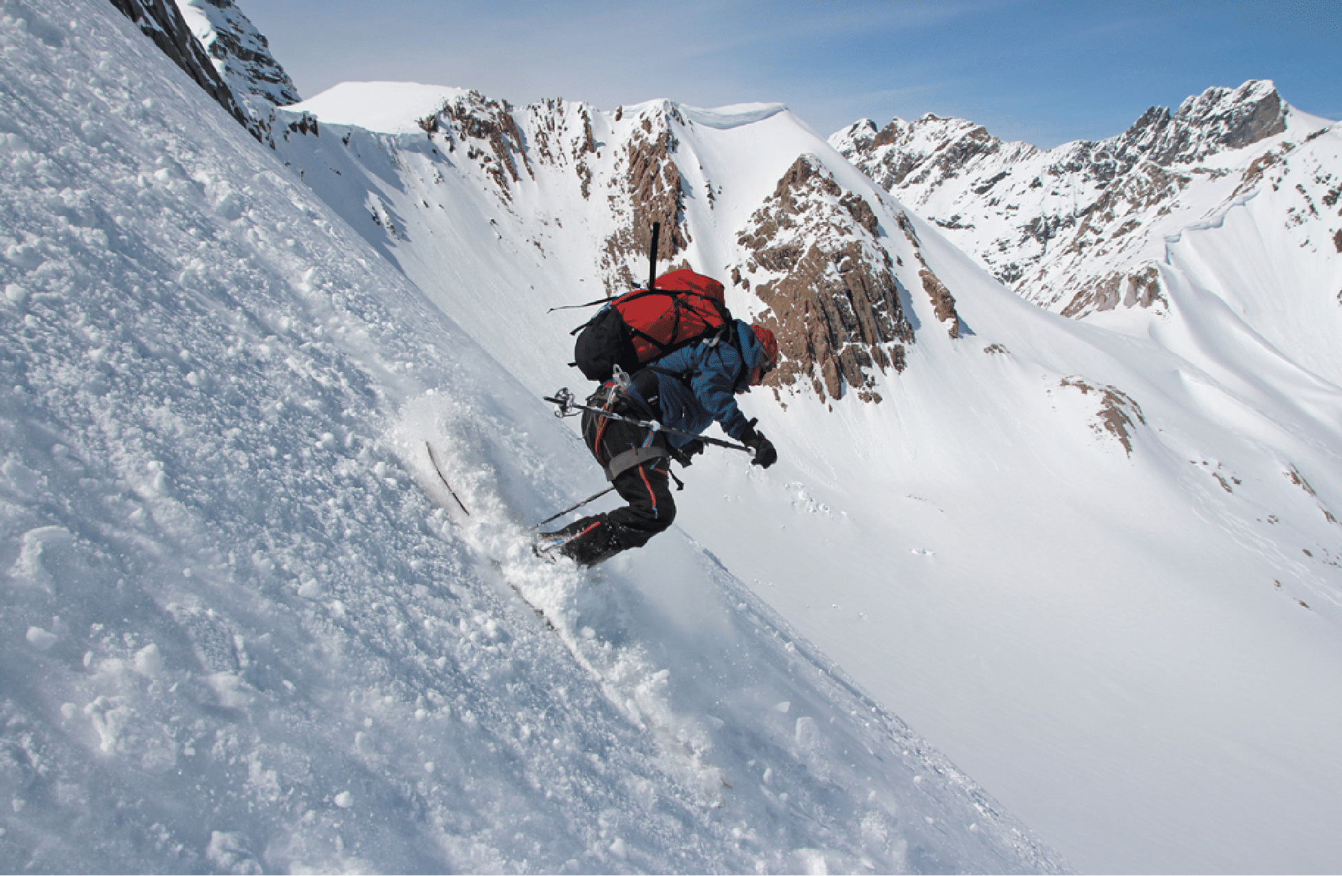
On this steep, icy descent — we all side-slipped the whole thing — Kim found the whippet useful, as did I.
Approaching the col in this valley west of camp on Tuesday. Arras is the peak left of center. This was the highest point we reached in the week. The Lyell Icefield is well left of center; Kemmel is the peak in the center. Photo by Pierre Hungr.
At our high point this day we were on the small col right adjacent to the Andean Face we had passed on Sunday. The foreground peak is Pangman, the rear is Freshfield. The icefield on the right is the Campbell, and at far left is an edge of the large Freshfield Icefield.
The next image shows us relaxing after a 2700-foot run from a col that is out of frame to the left. Two days later we skied from the col in center — really from just below the summit of the peak between the trees. The route back to camp from this spot crosses a large sunny slope, so we were often racing to get across it before it got too warm. Photo by Pierre Hungr.
The next shot was taken earlier in the winter from near Icefall Lodge by Pierre. At far left is the col right above our camp (“Wolverine Col”). Then left of center is a high col that we skied to and from on our first venture into this valley west of camp. We did not ski the col in center. On our last day we got to just below the white summit right of the col that is right of center. All the peaks in this image are unnamed! The one just left of center has the Andean face on its opposite side.
Arras Mountain. This is one of the most interesting and spectacular peaks in the area. It has skiable lines on its east (shown below), north (shown in image after the next one), and west faces (shown in Icefall Lodge 2007 report), and they are all beautiful. The west is what one sees from the Icefall Peak area; those banana couloirs have been skied. The north has been skied as well (see below). But these east-facing banana couloirs have never been skied.
This next shot (by Trevor Sexsmith) is of the N face of Arras, which Trevor has skied from very near the summit. See http://perpetualski.ca/2015/03/arras/#more-539. The curving “banana couloirs” on the right are part of the W face, and that is what is seen from the Icefall Lodge area.
A portrait of Kemmel, which I have climbed twice on skis and once on foot from Icefall Lodge. The lodge is in the small clearing in the roughly triangular patch of trees below and right of Kemmel. Working right of Kemmel are Troll Pass and the Portal; the peak at the right edge is La Clytte with the Groove Tube ski run visible and also the east face and summit of La Clytte just barely visible.
This shows a large part of the terrain at Icefall Lodge. From left, starting with the sharp peak, the peaks are Icefall, Kemmel, La Clytte, Lens. Our camp and water source are visible in foreground,
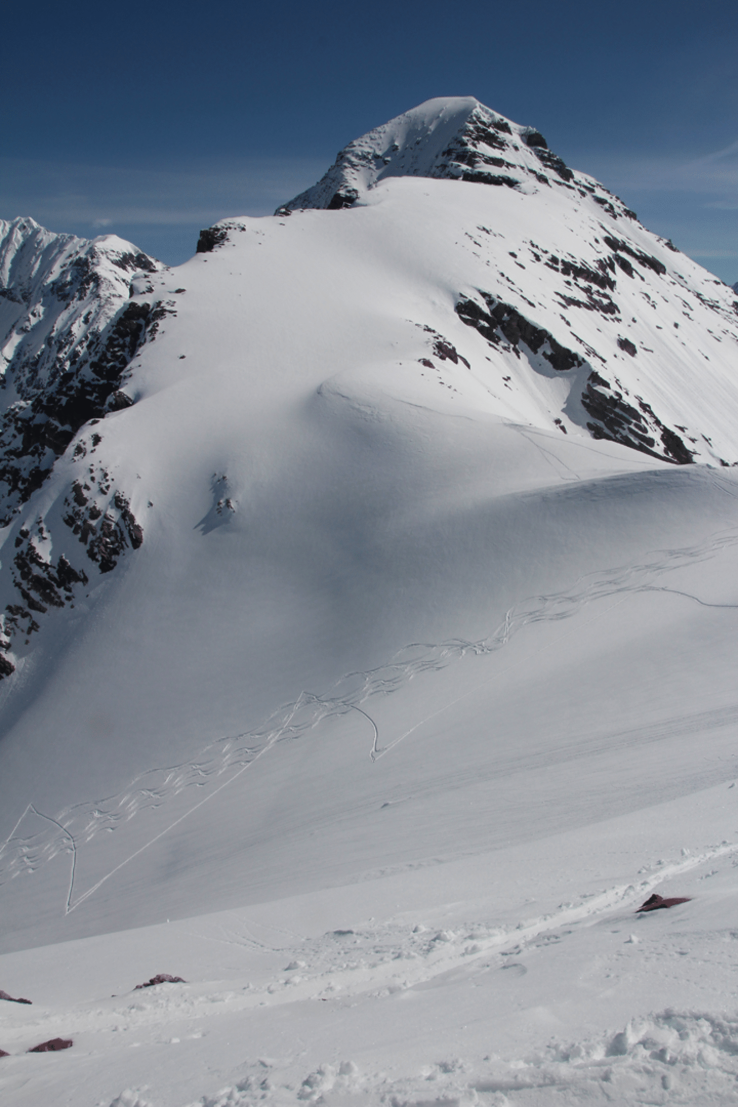
On our last ski day I left my camera behind (also the top pocket of my pack). The weight reduction made a difference in my speed! This image below shows the two westerly ski basins in the Arras Basin. On Thursday we skied the rightmost. On Tuesday we skied a similar line out of frame left. We never skied the one to the left in the image. Now, after reaching the col in center we went up the ridge and into that cool little basin below the summit, right up to the rocks under the summit. But there were some avalanche concerns on that right-hand ridge -- the first such all week -- so we did not get to that final ridge for the easy ascent to the summit. From the basin we skied to the col and then down for a 2200-foot run. (Photo: Kim Clark)
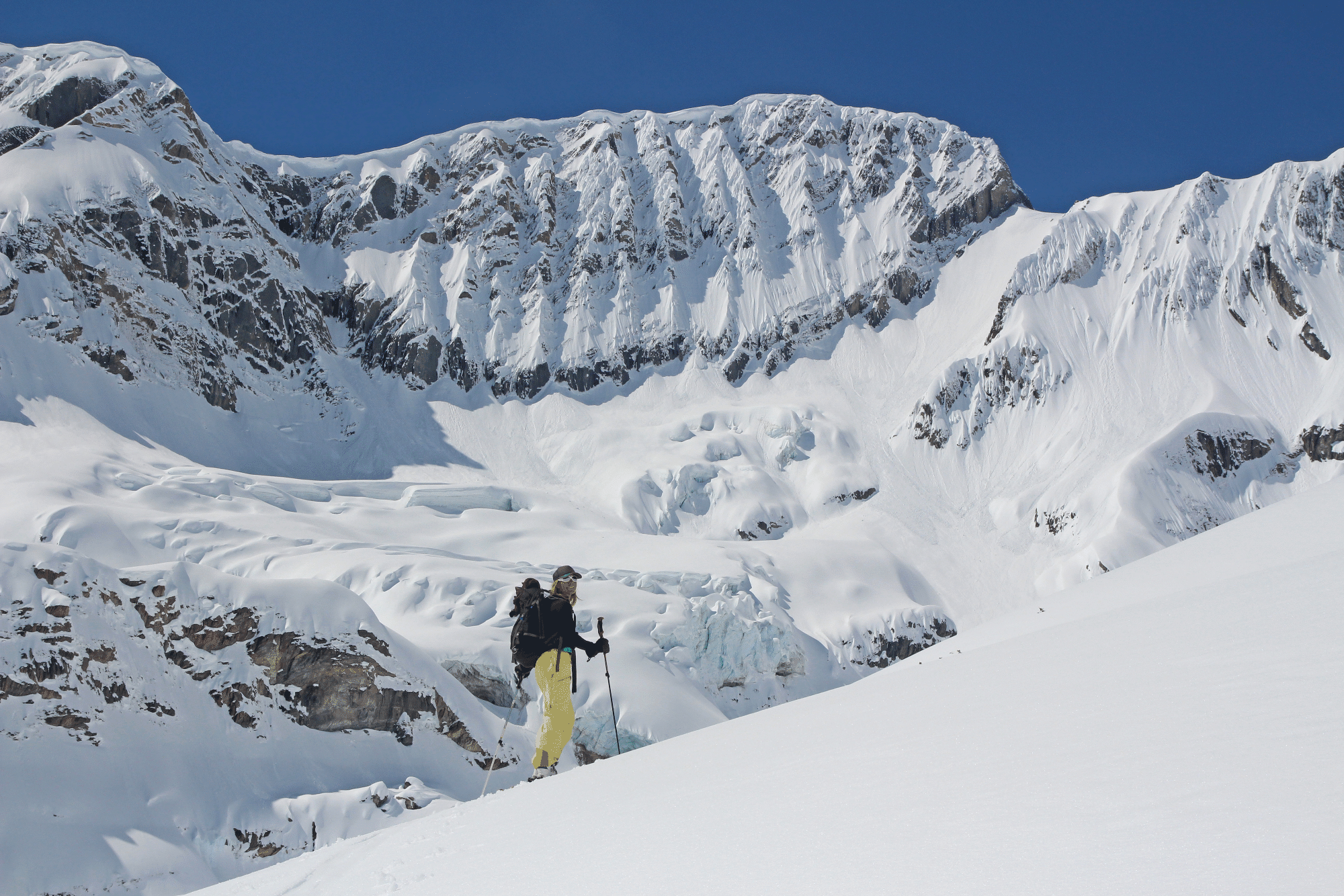
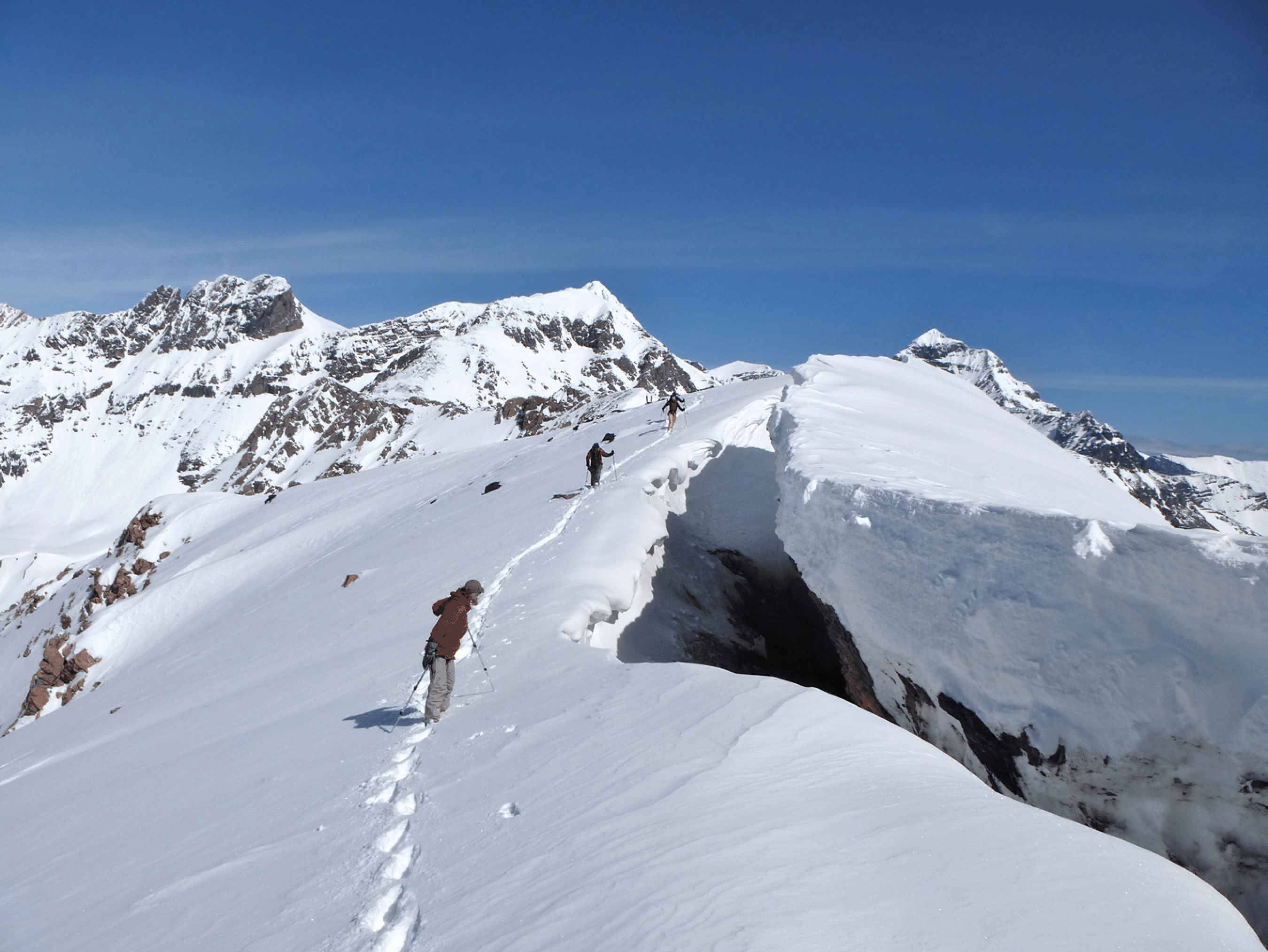
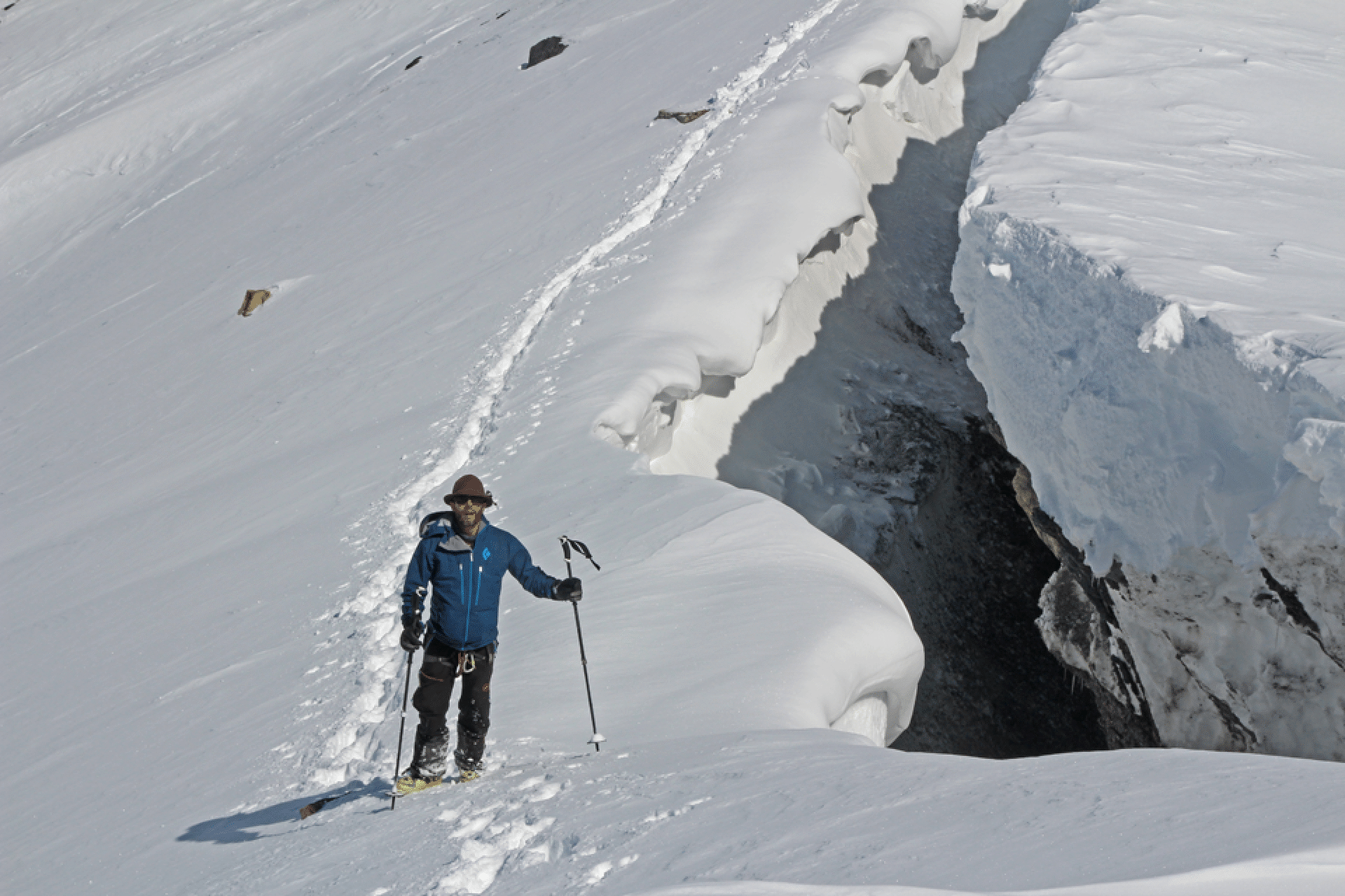
Note the horizontal line at upper right that looks like an avalanche crown. But a glance at an earlier image shows that it is a crevasse.