Oasis Lake Base Camp
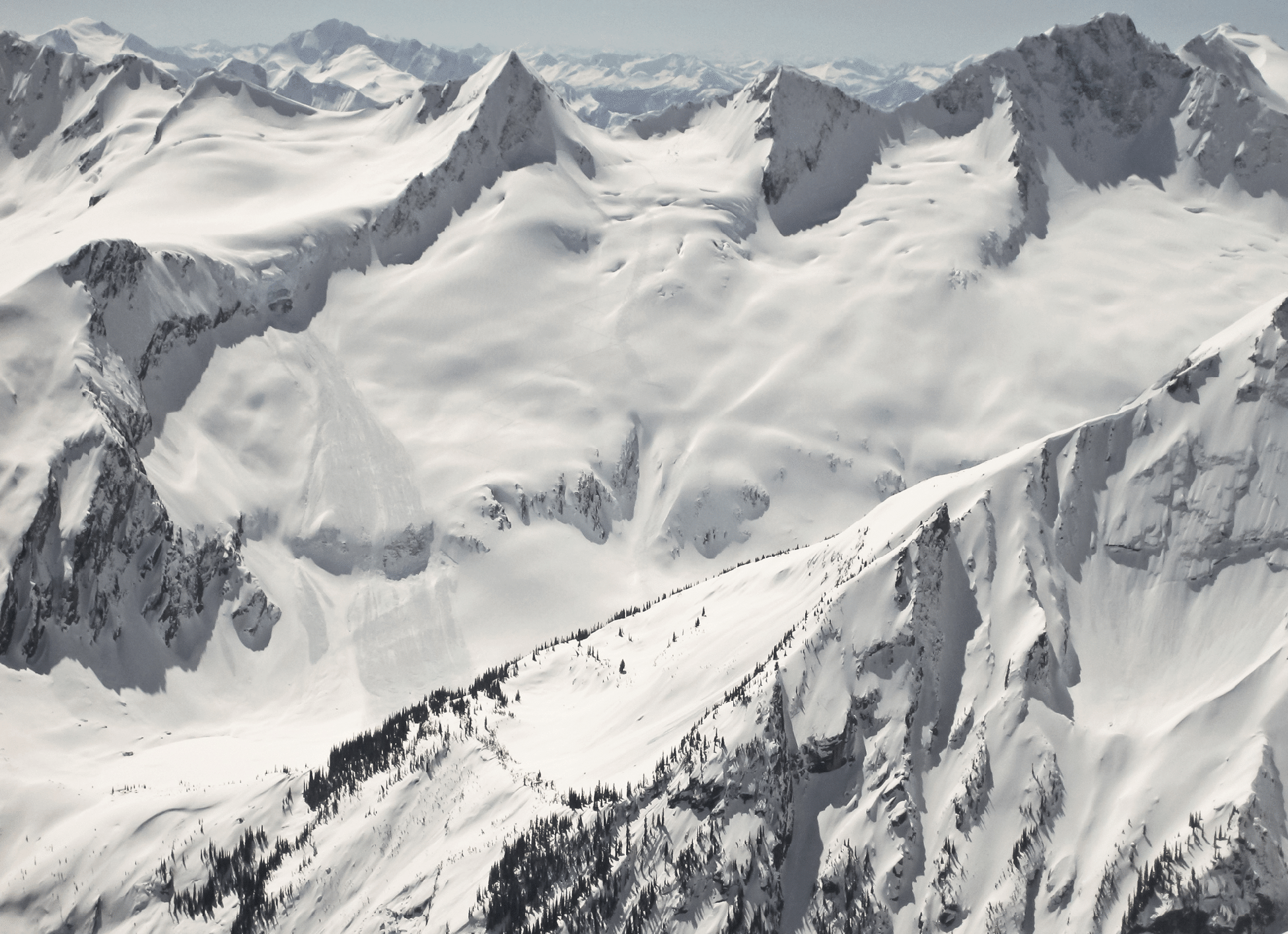
Oasis Lake and our camp in the sparse trees at the lake’s left edge. Mount Goodrich is the central sharp summit, and our tracks down from the Goodrich-Odysseus col are well shown in this shot from Typee taken by Ellen Hollinshead.
Photos
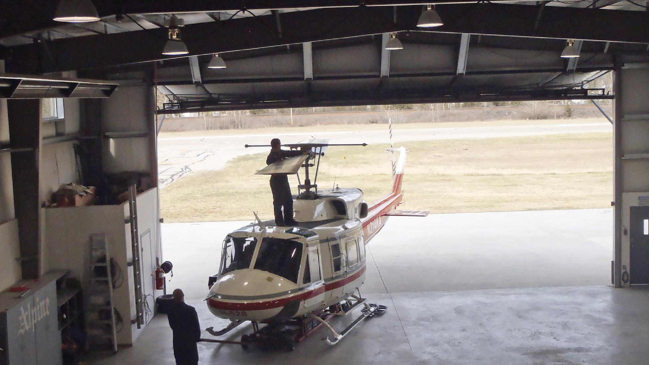
Putting the Bell 212 helicopter to bed after deciding no flight on Saturday was possible. (Photo by Kim Clark).
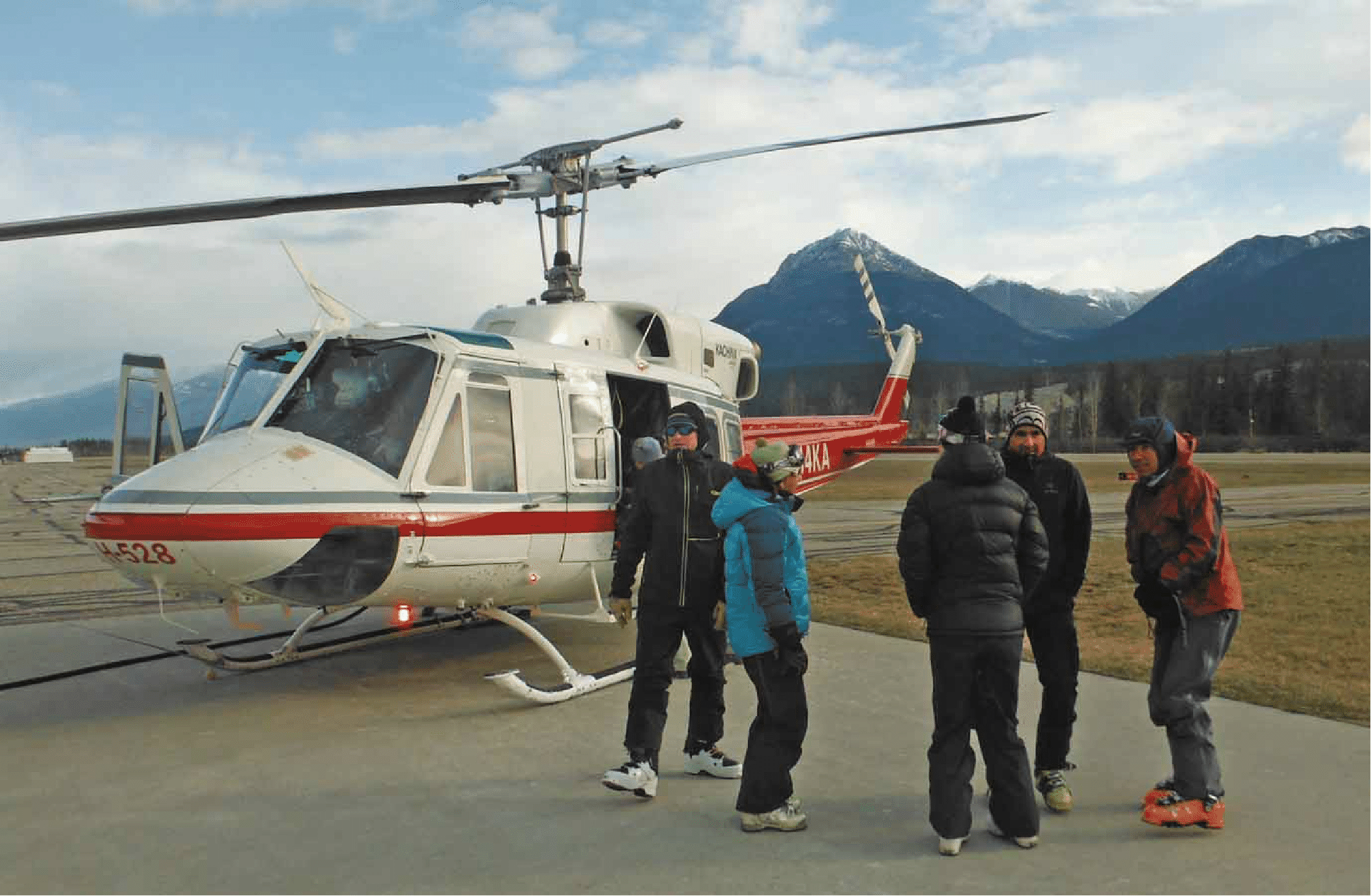
The Bell 212, fully loaded and ready to go after a one-day delay. It was quite cold in Golden this morning, and of course much colder up at our camp when we arrived (photo by Ben McShan).
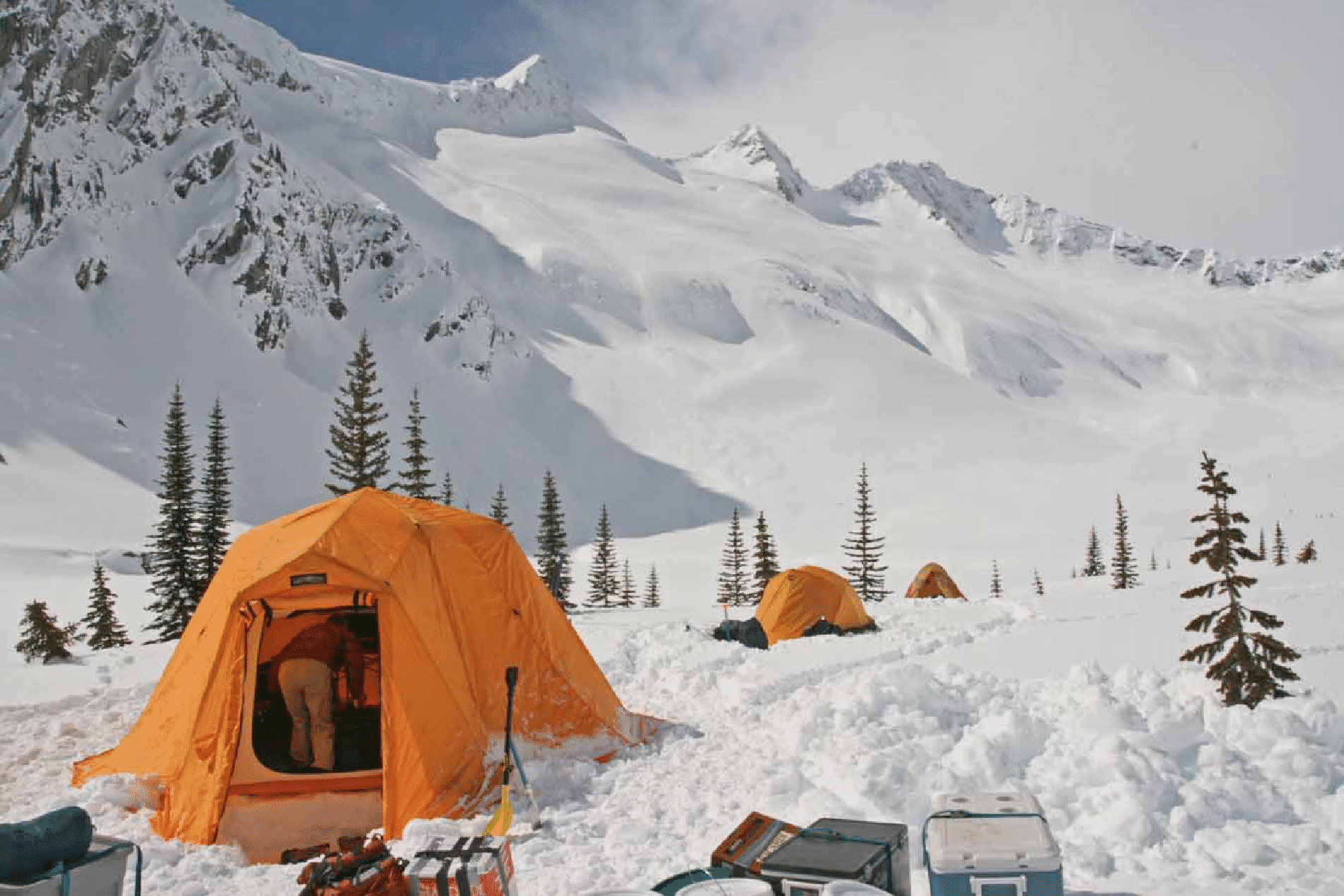
Our camp at around noon on the day we flew in, with the Arctic Oven in foreground.
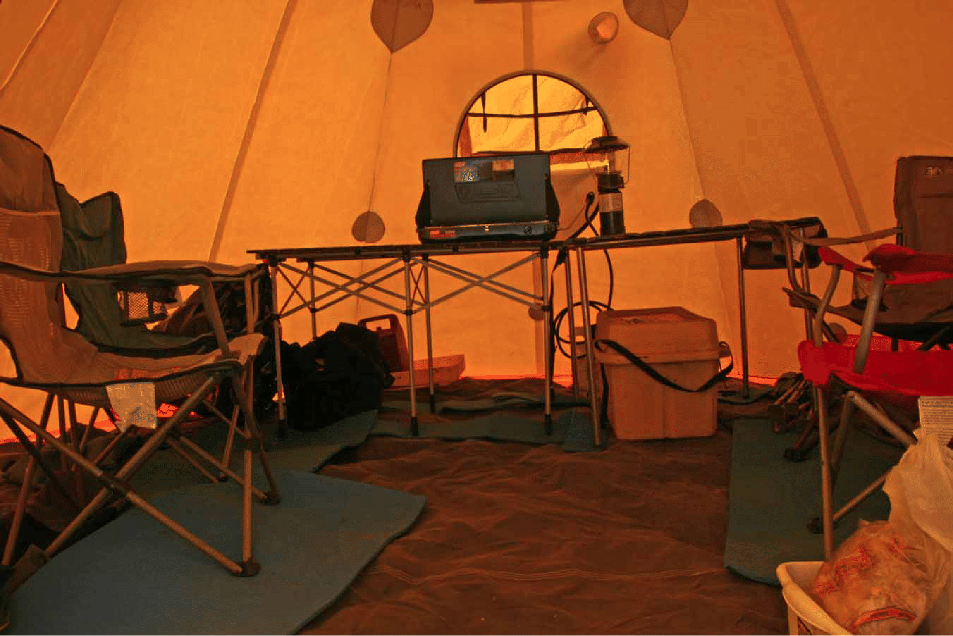
Inside the awesome Arctic Oven group tent provided by Pierre. The interior is a soft white material which repels condensation.
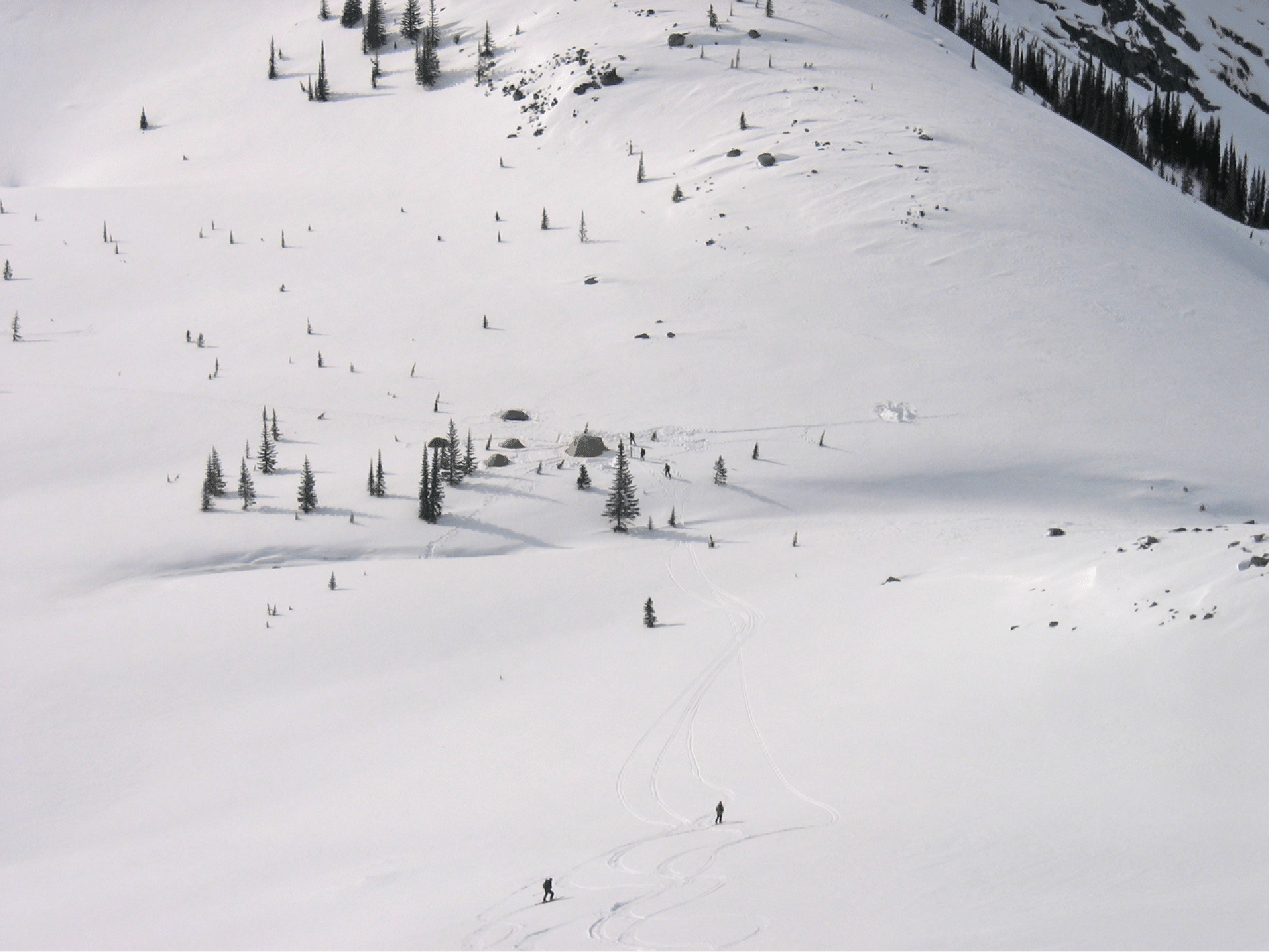
Camp is beside an exquisite water hole, which we used in 2004, one reason for choosing this site this year (photo by Ben McShan). The photo below was taken later in the week, but nicely shows the camp’s location on a safe bench. The water hole is hidden in front of camp. (Photo by Elke Dratch.)
![]()
Approaching Oasis Pass on our first afternoon. Great weather.
Kim near Oasis Pass, with Scylla and the Chinese Wall and, in the right distance, South Scylla Pass that we would visit later. (Photo by Elke Dratch.)
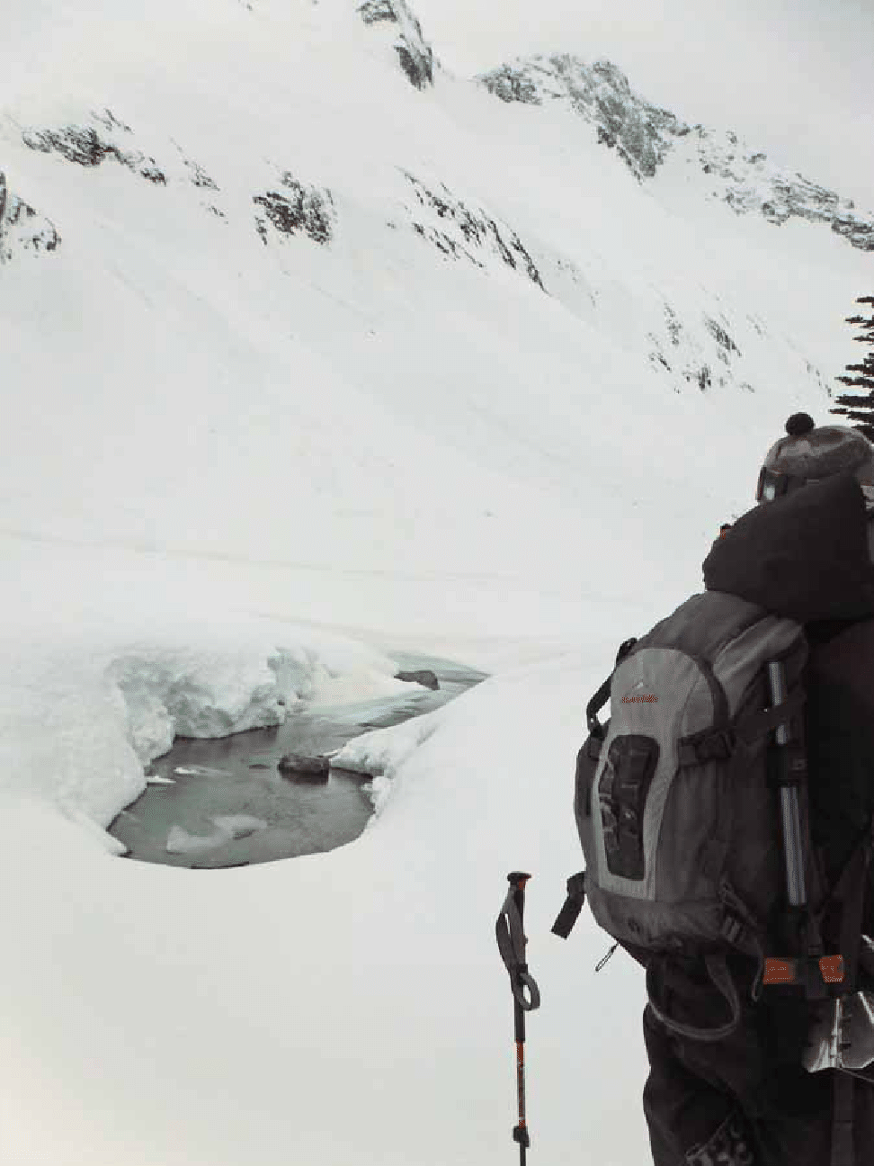
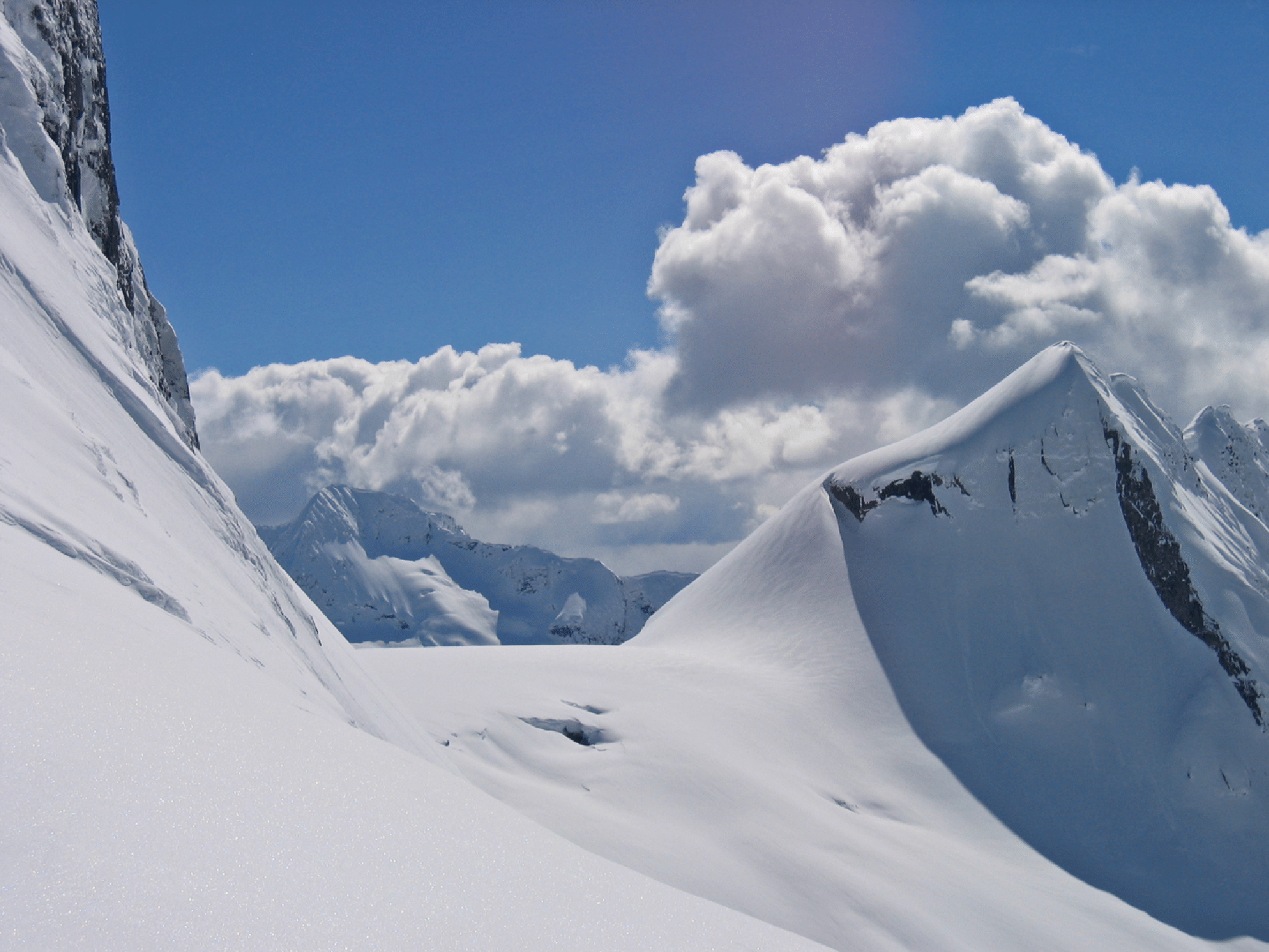
Pierre looking over the west side of Oasis Pass, down to the Stygian Pool. This area is in the middle of many ranges, with alpine views in all directions.
The view of West Scylla Pass from Oasis pass. We would go through it two days later on a long loop tour. (Photo by Elke Dratch.)
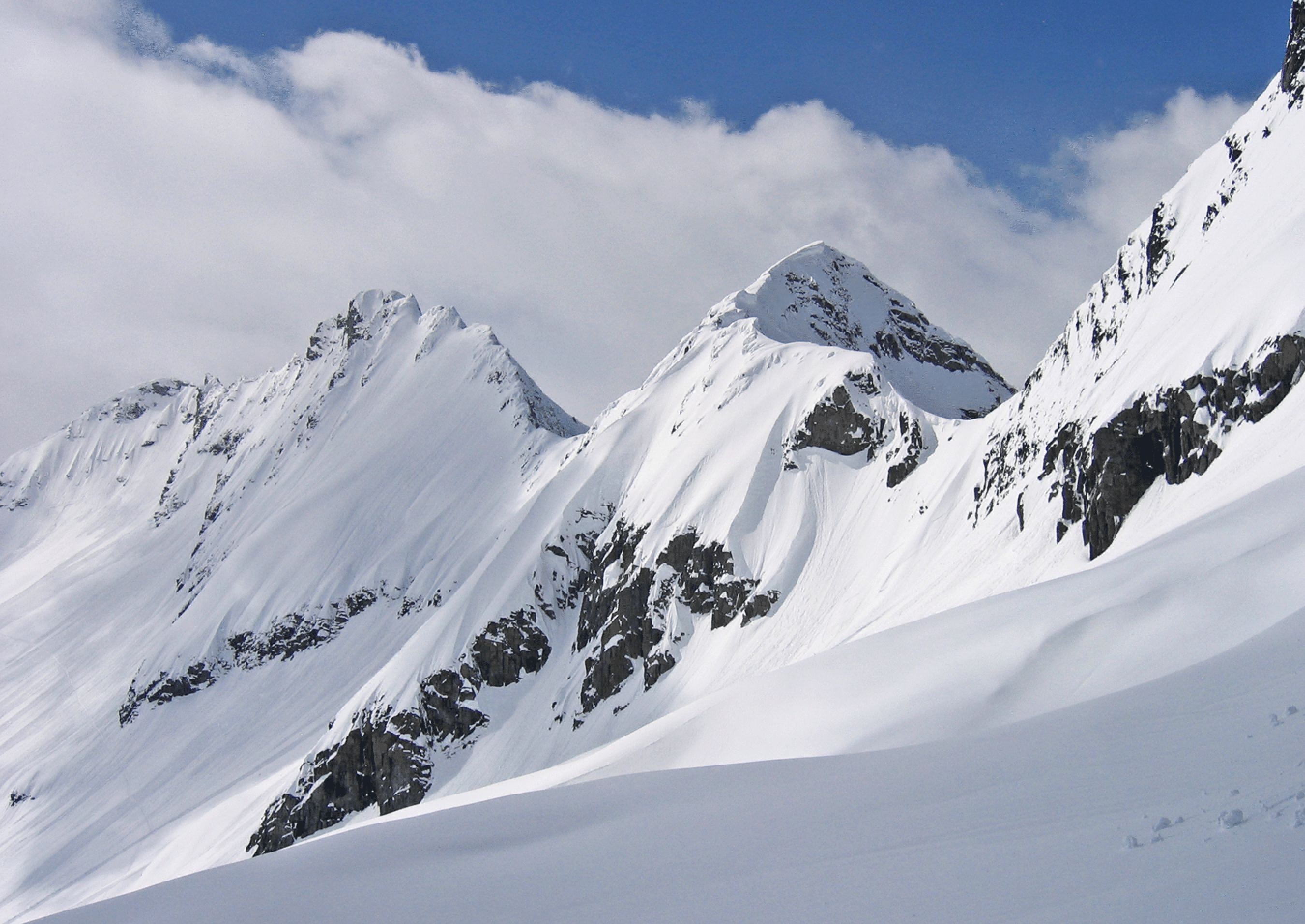
The Chinese Wall and Scylla Mountain (true Scylla summit is actually out of frame to the left). The pass at right rear (South Scylla Pass) is one we went over two days later as we looped around Scylla Mountain.
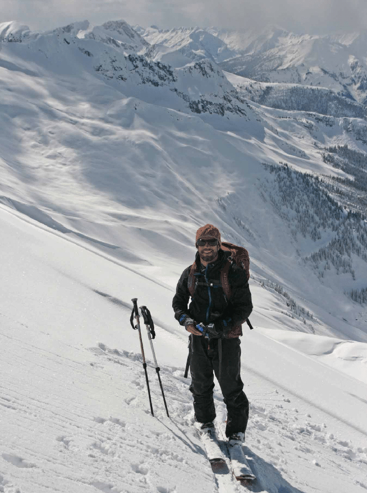
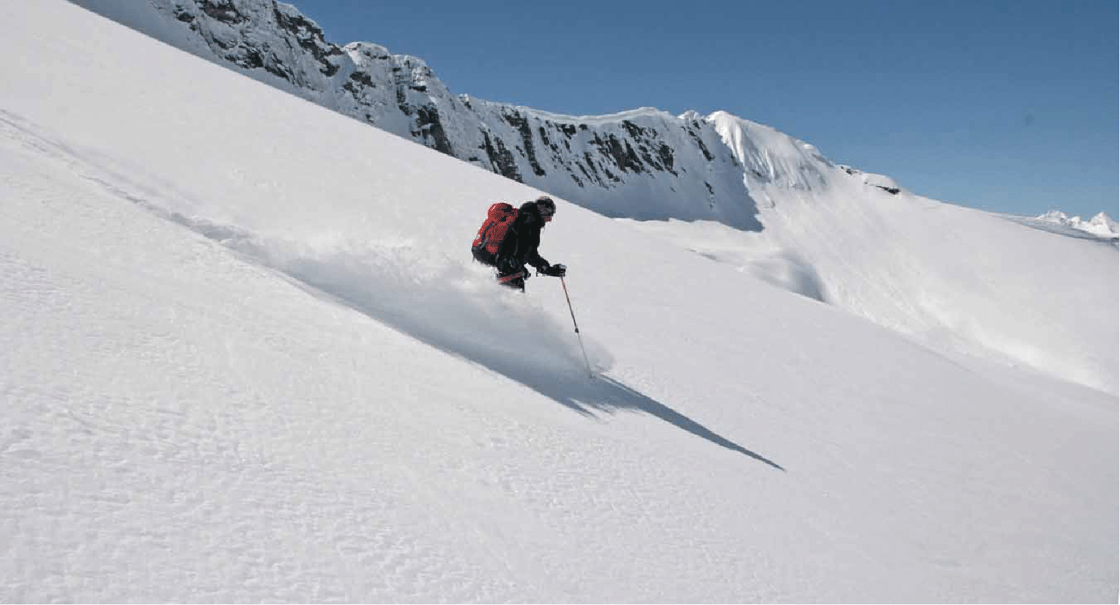
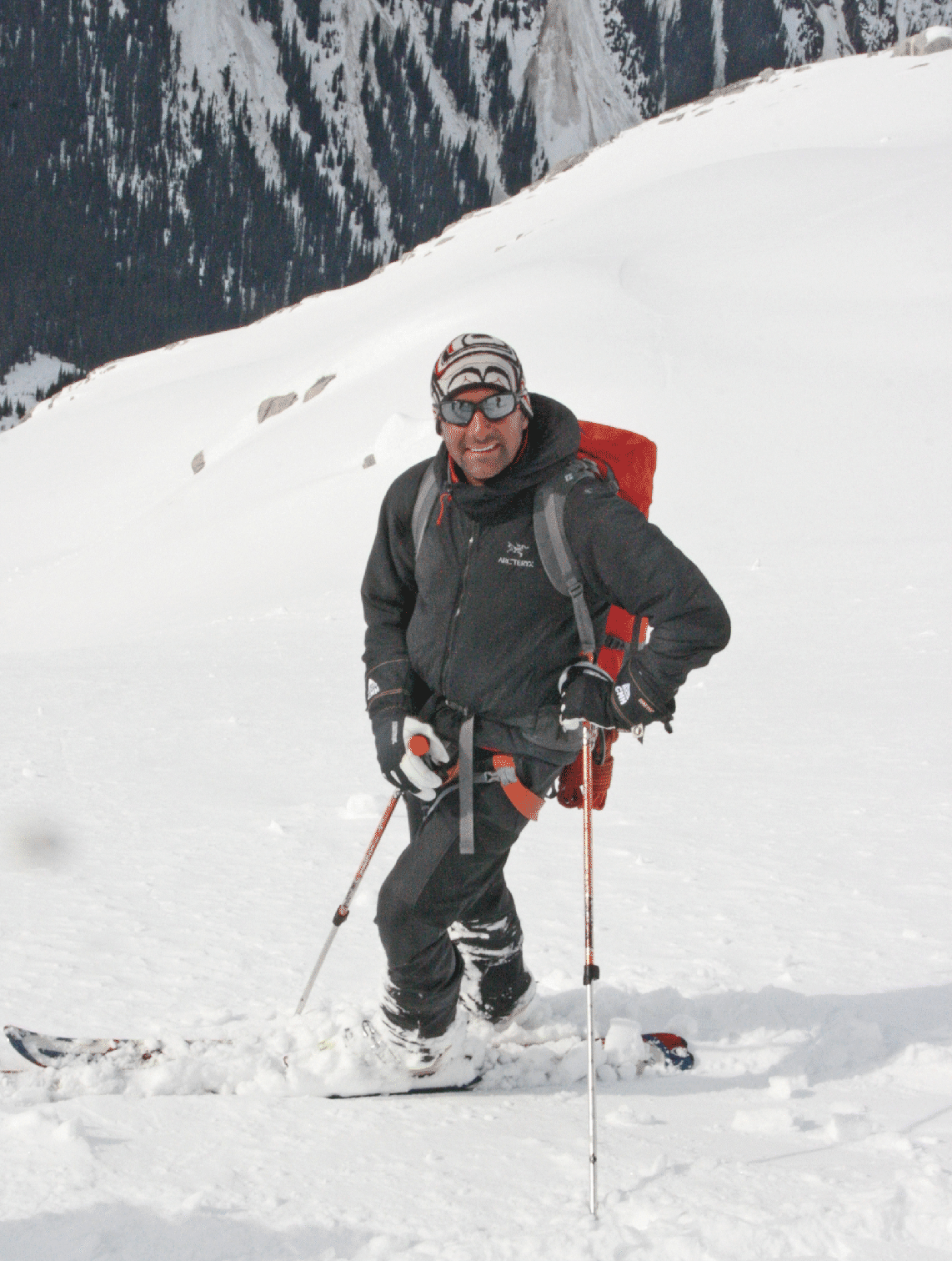
Ben prepares for the first descent of the trip...
...as does Stan (photo by Ben McShan).
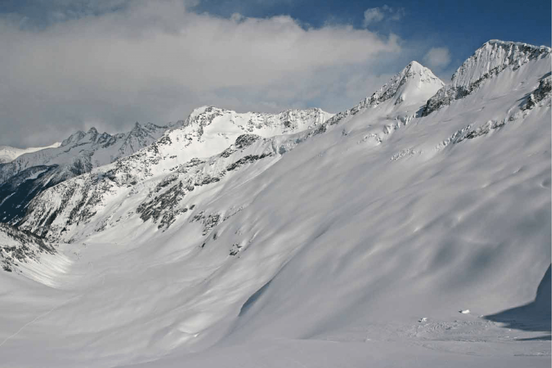
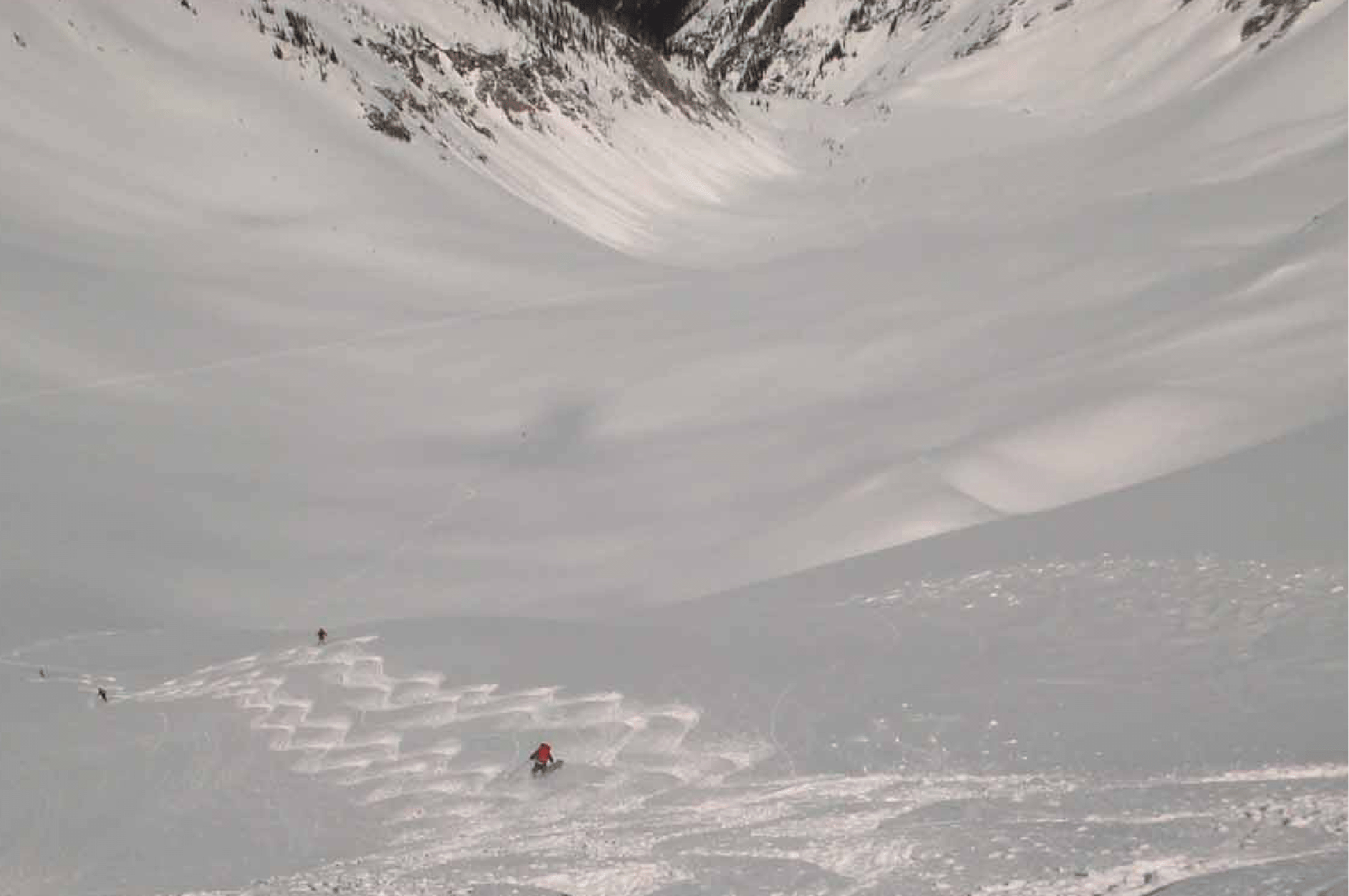
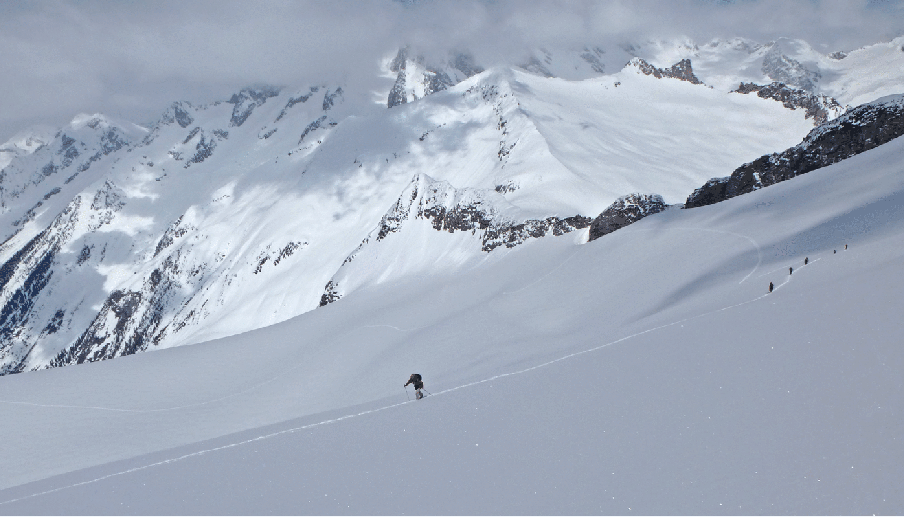
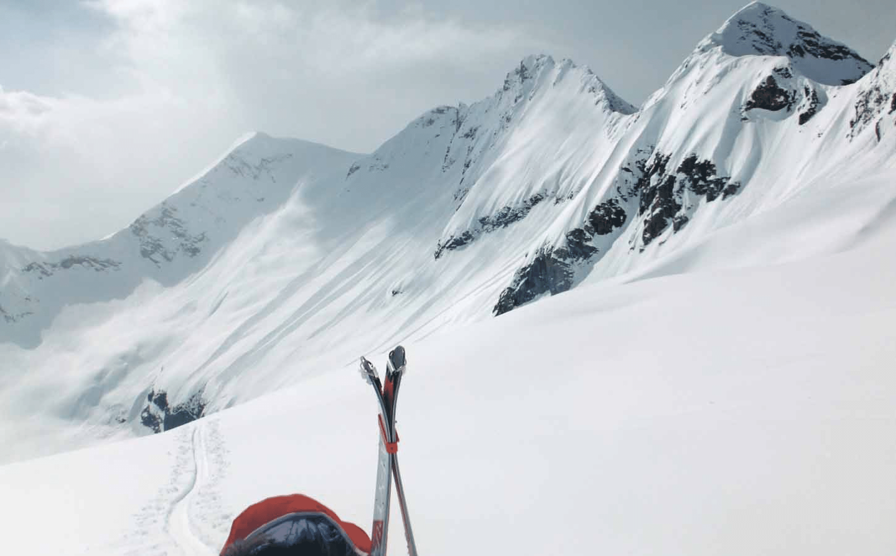
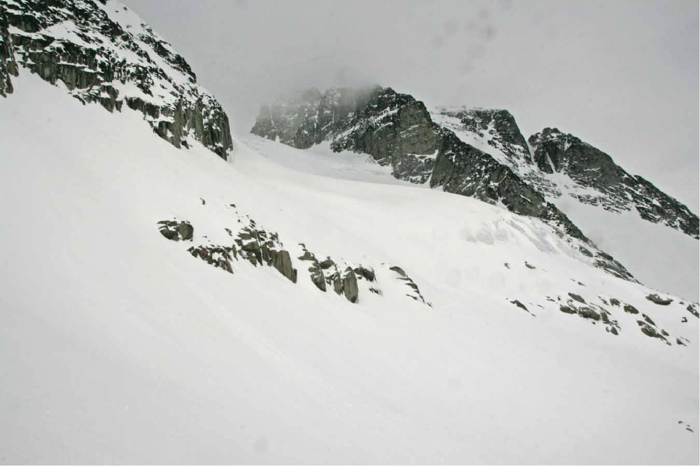
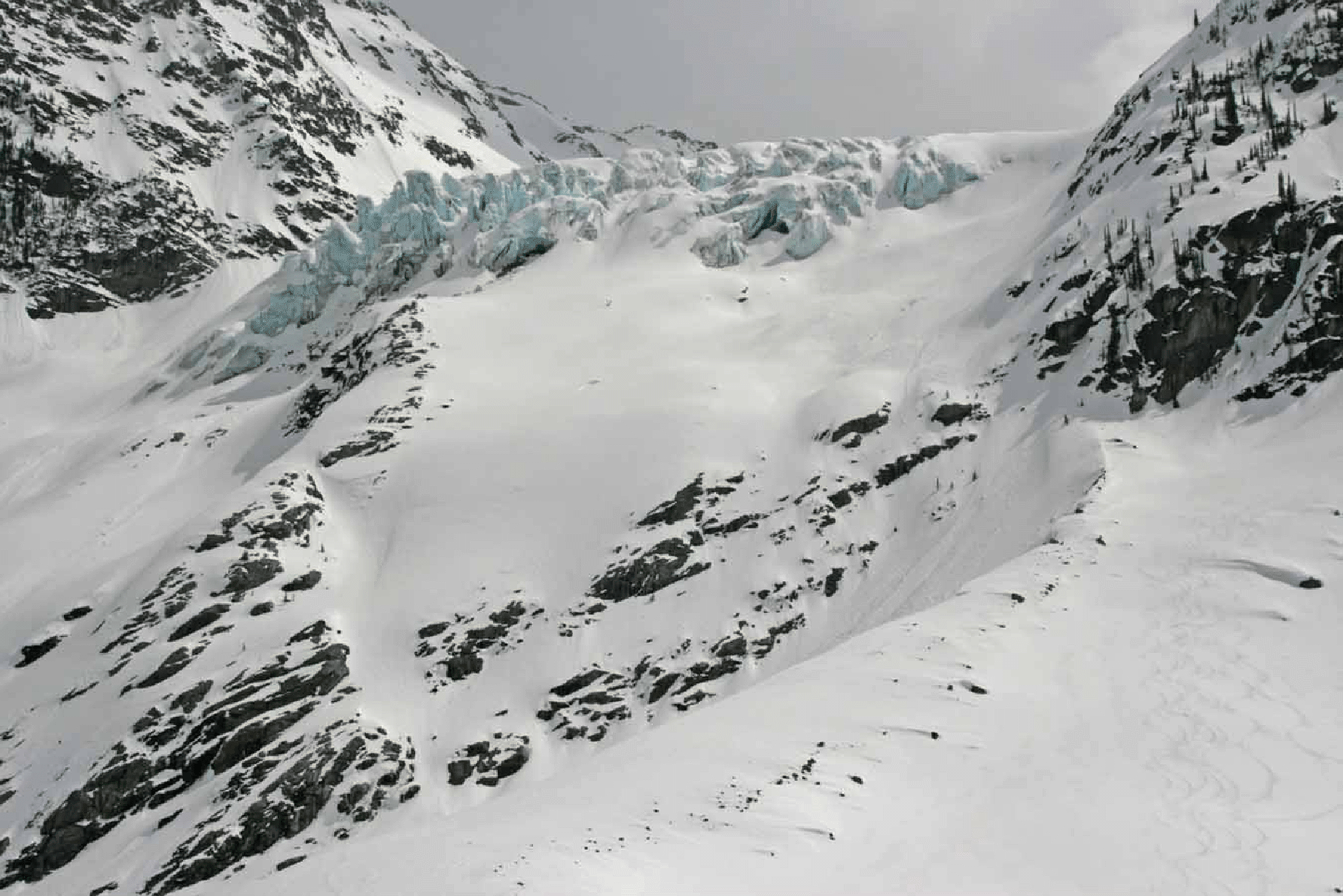
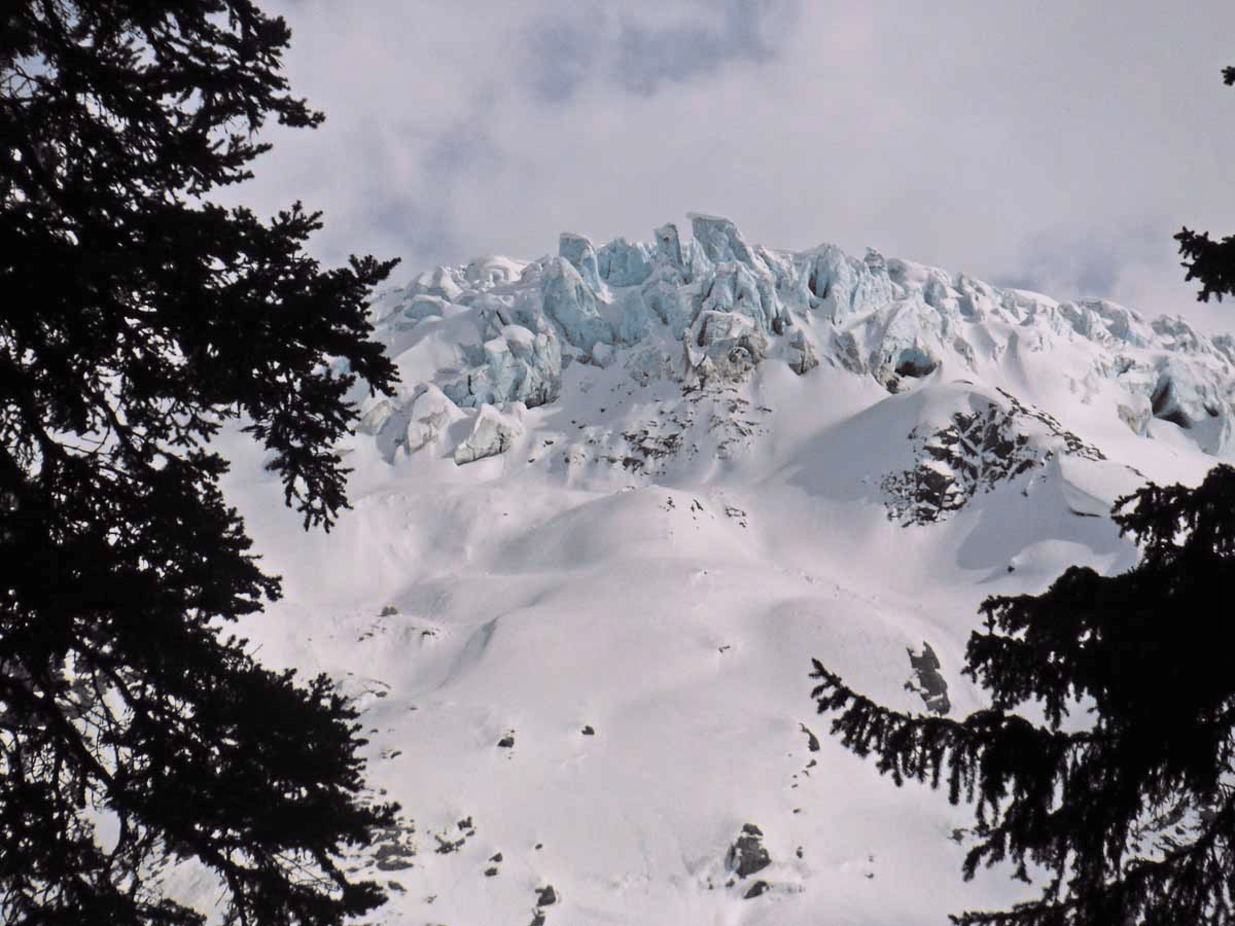
The view down Oasis valley to camp. The slope on the right looks great, but an overnight serac-triggered avalanche from the icefall in center would destroy some of it. Mount Goodrich and Odysseus Peak at center right.
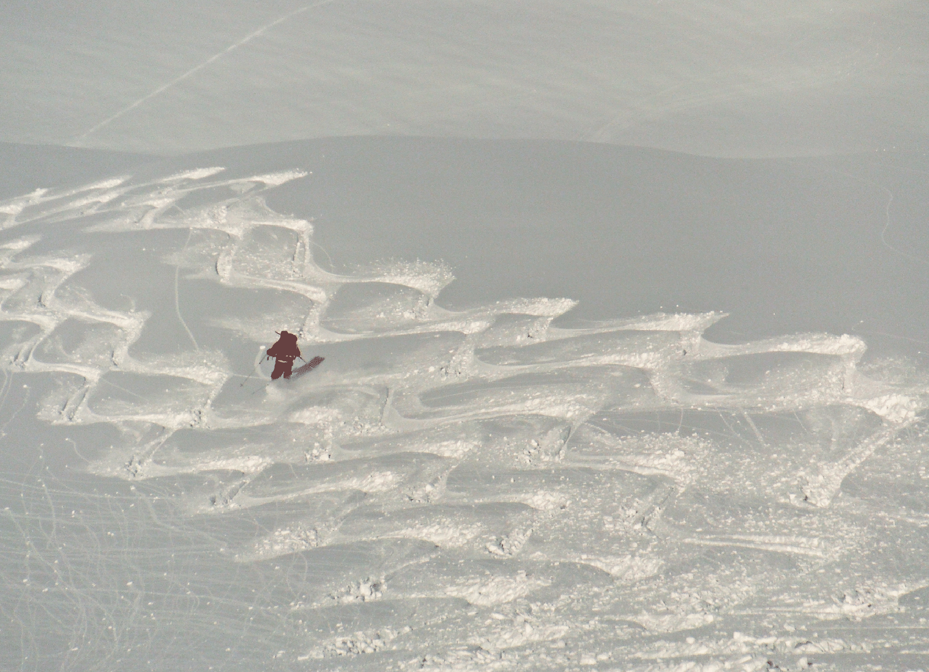
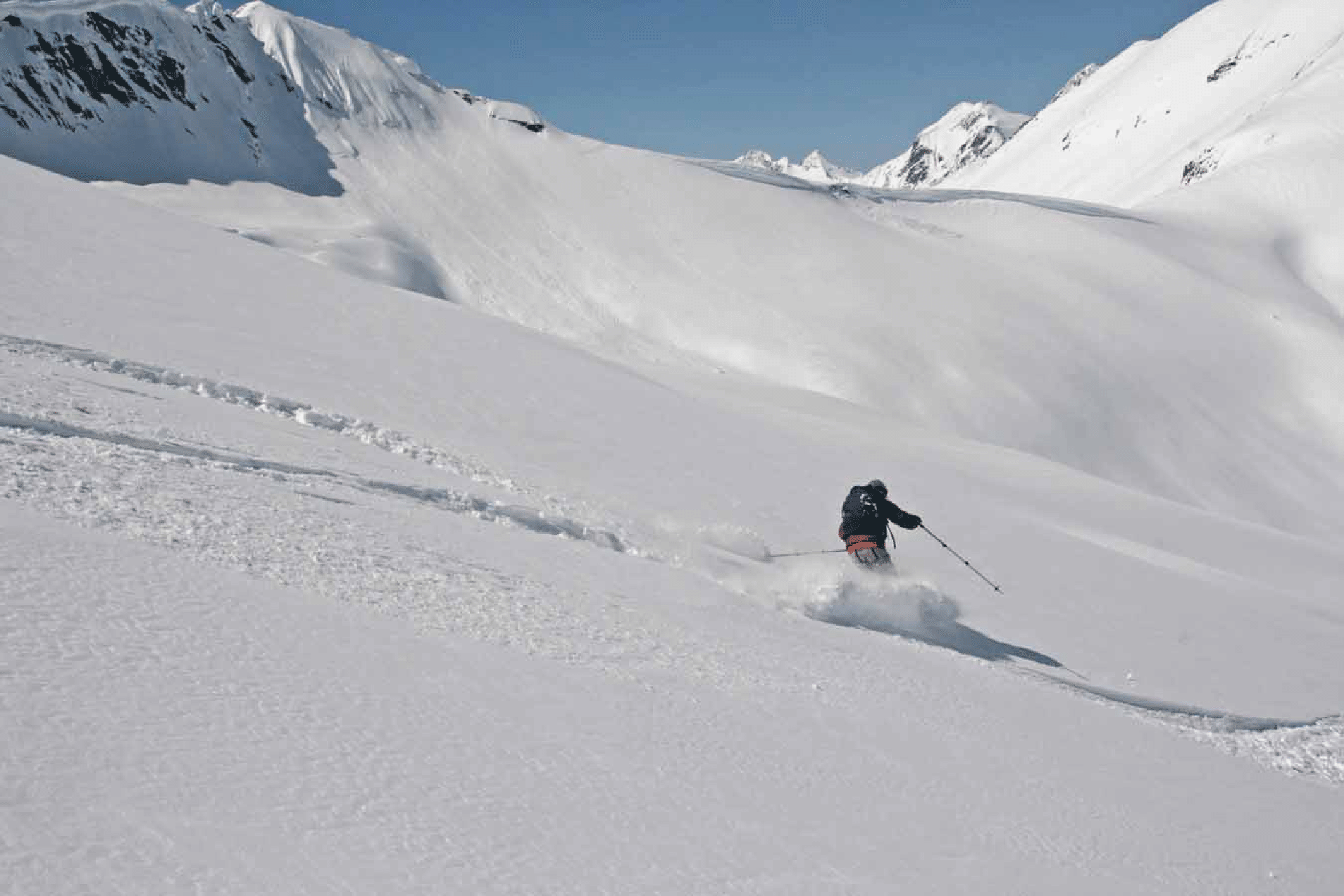
Lots of fun in the pow (photos by Ben McShan).
Our first descent, from just south of Oasis Pass.
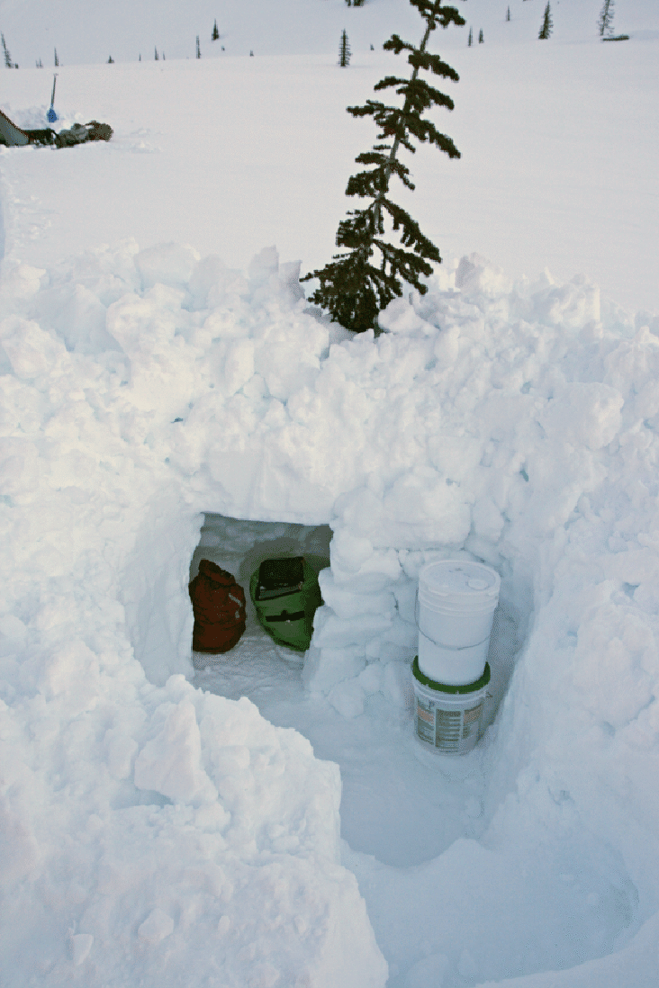
Our food storage system. We blocked the small door with two coolers and we thought it would be impervious even to wolverines. But we saw not a single animal track all week.
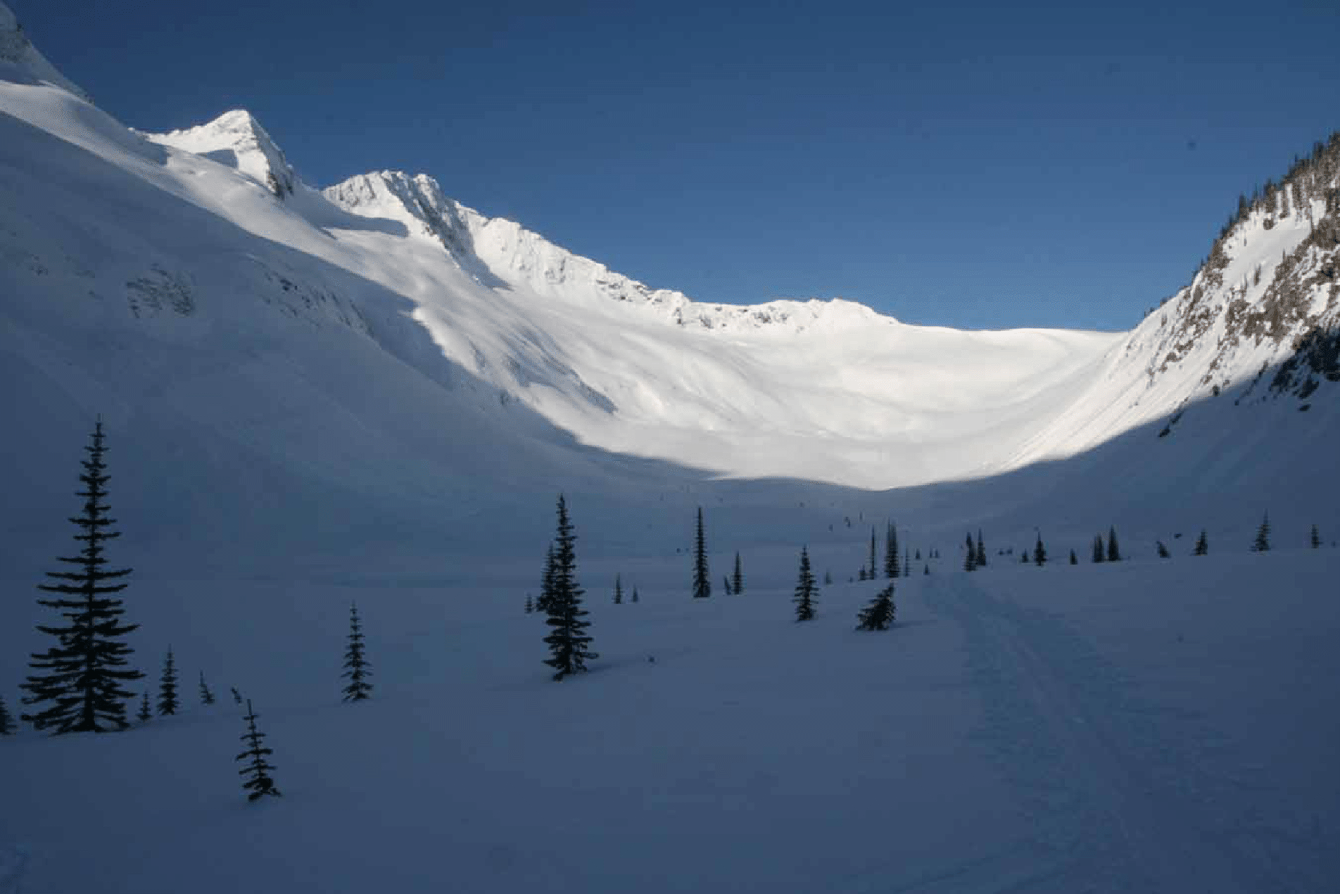
Dawn on Monday, Day 2: Looking up valley from camp to Oasis Pass; our tracks slightly visible.
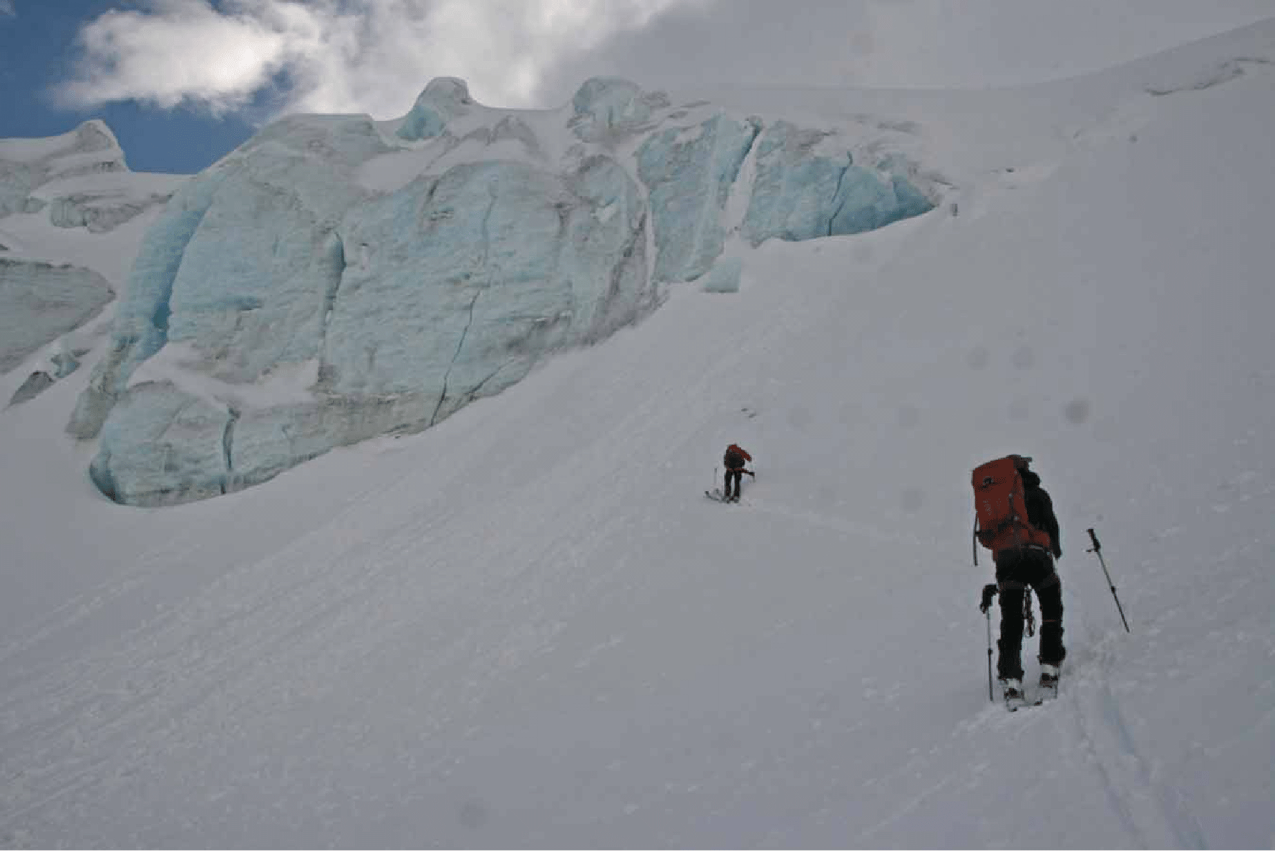
A magnificent composition by Ben during our climb of the West Wrong Glacier to the Goodrich-Odysseus col (photo by Ben McShan).
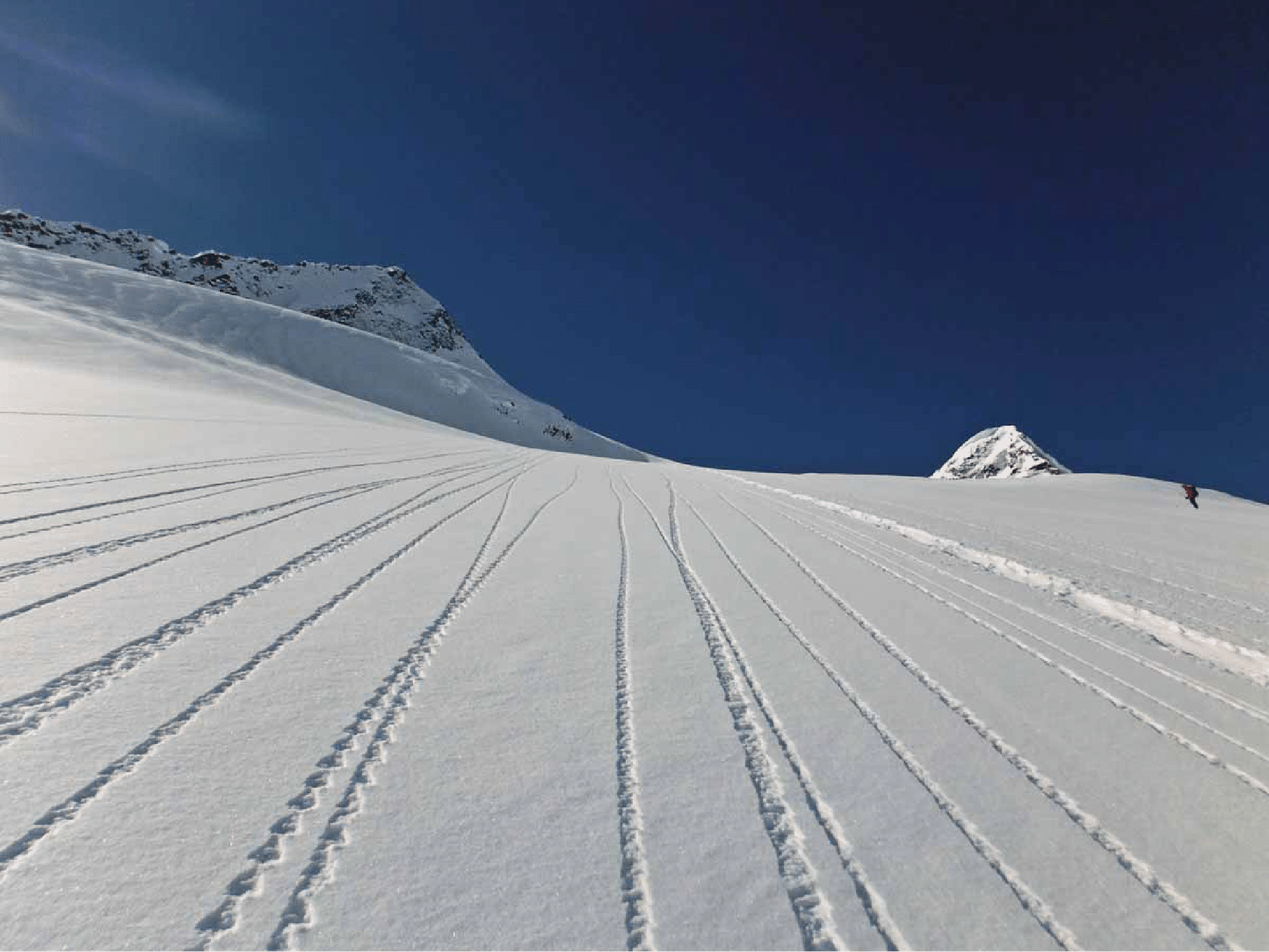
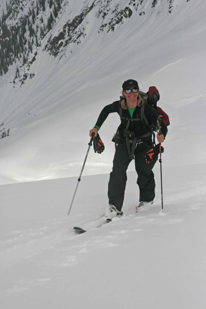
Kim skinning up the West Wrong Glacier to the Goodrich-Odysseus col. Nice cold powder.
The final push to the col. We roped up for the last stretch. What wonderful snow here. And the coverage was quite good: more snow than on our 2004 visit.
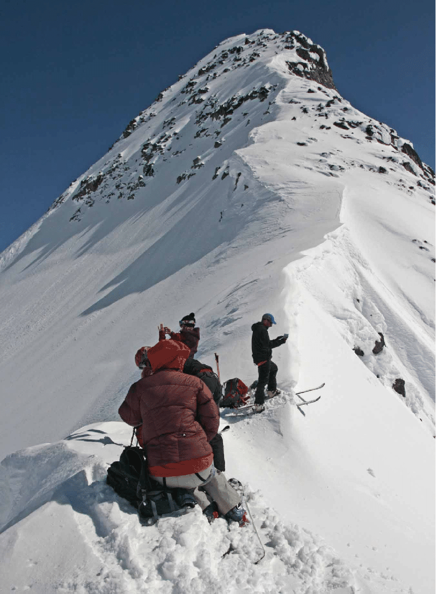
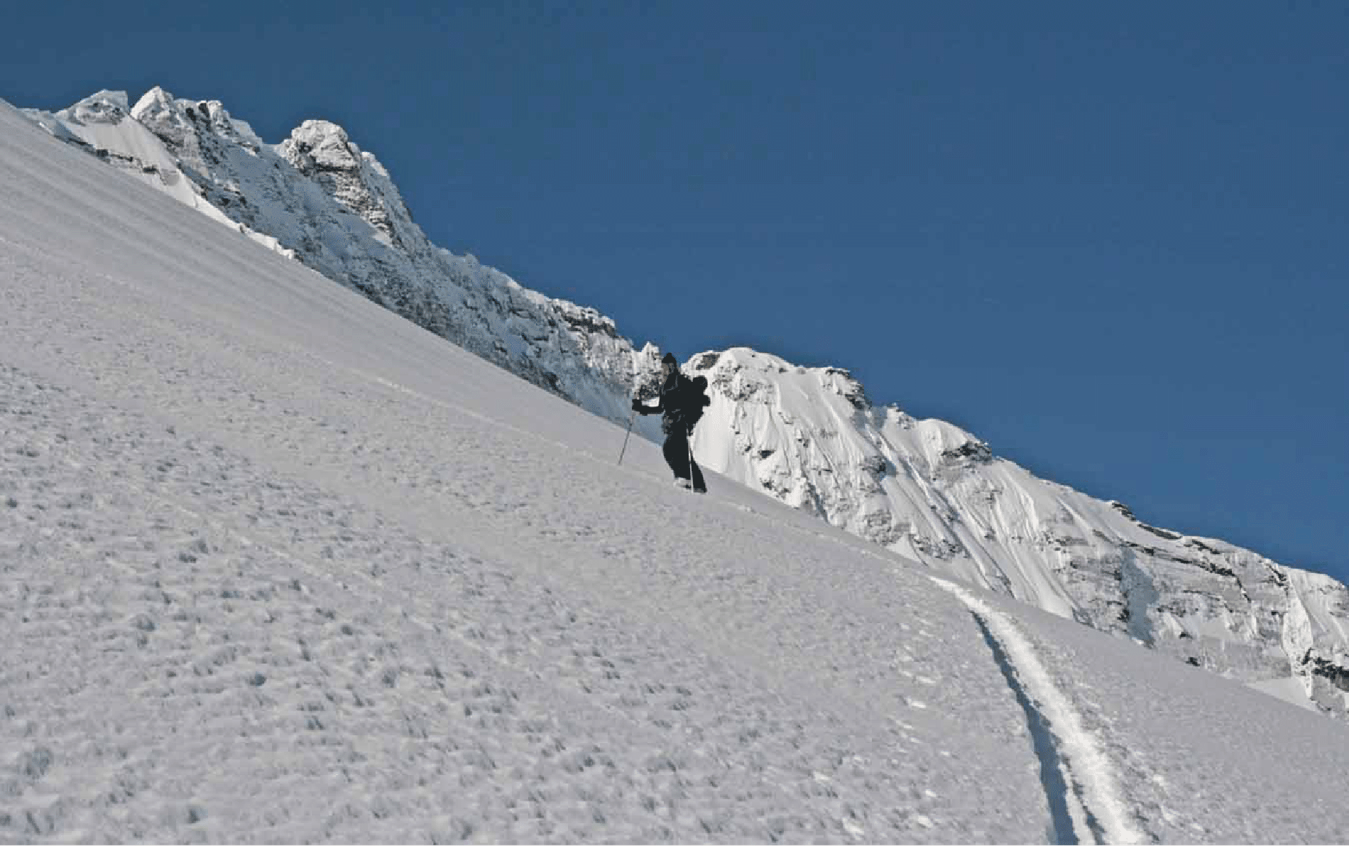
The col with Goodrich behind. The south side was quite steep and we descended the same way we climbed.
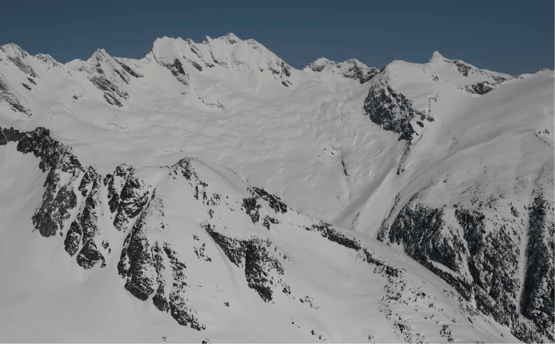
Looking north to the Moby Dick massif, Ahab (rear), Forecastle (flat white peak right of center), Benito Cereno (left of Moby Dick), and Butters (sharp summit at right rear). In 2004 we skied Butters from Battle Abbey. Also in that year we got into the Abbey using the gentle col right of Forecastle.
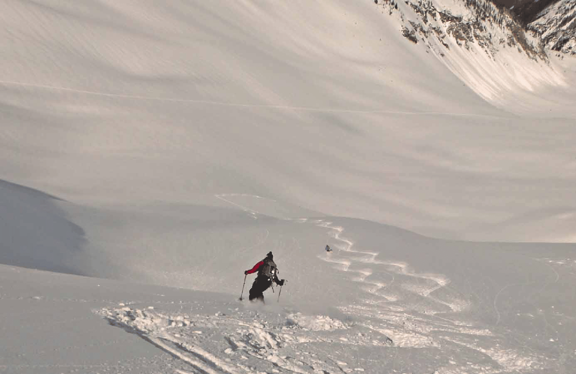
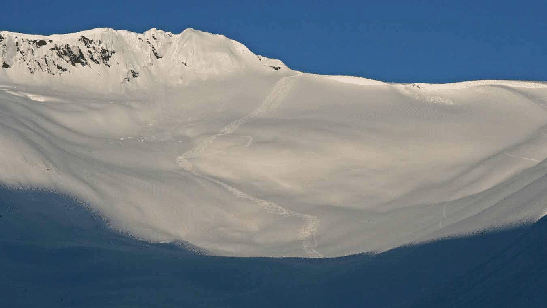
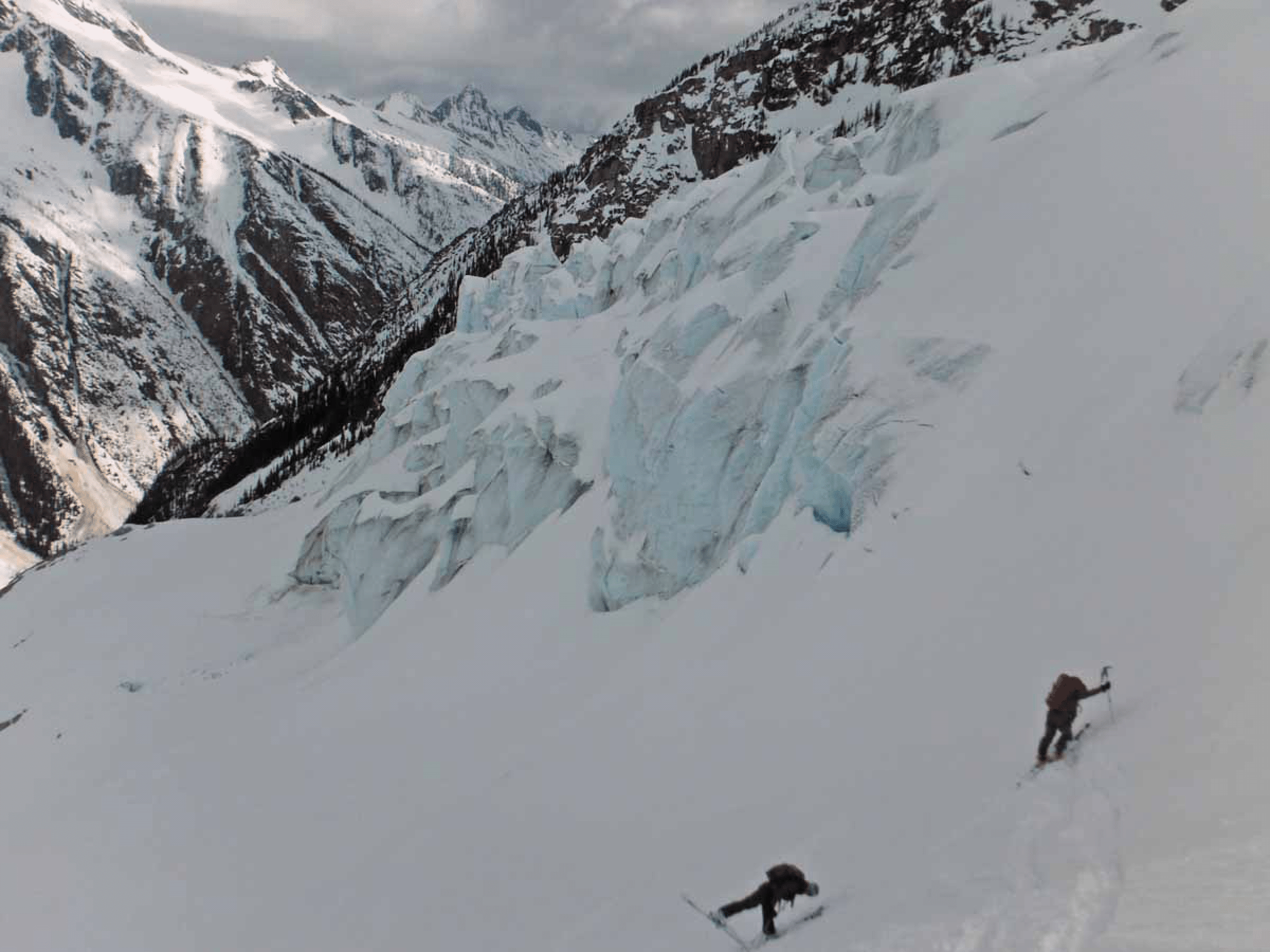
At the very end of our first run Kim triggered a small slab avalanche on this steep slope, but rode it out to her left without falling (photo by Ben McShan).

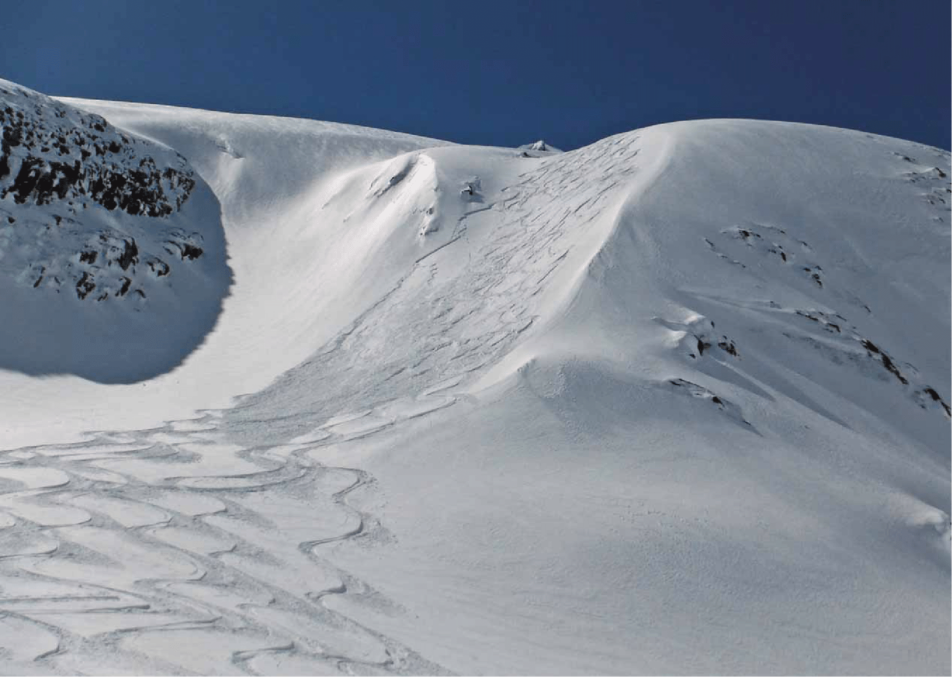
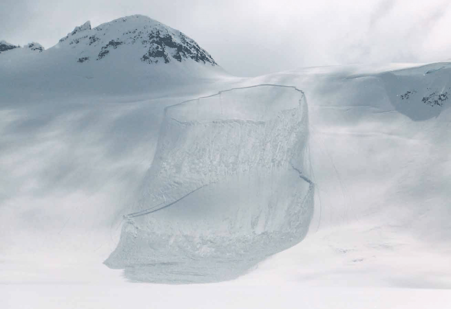
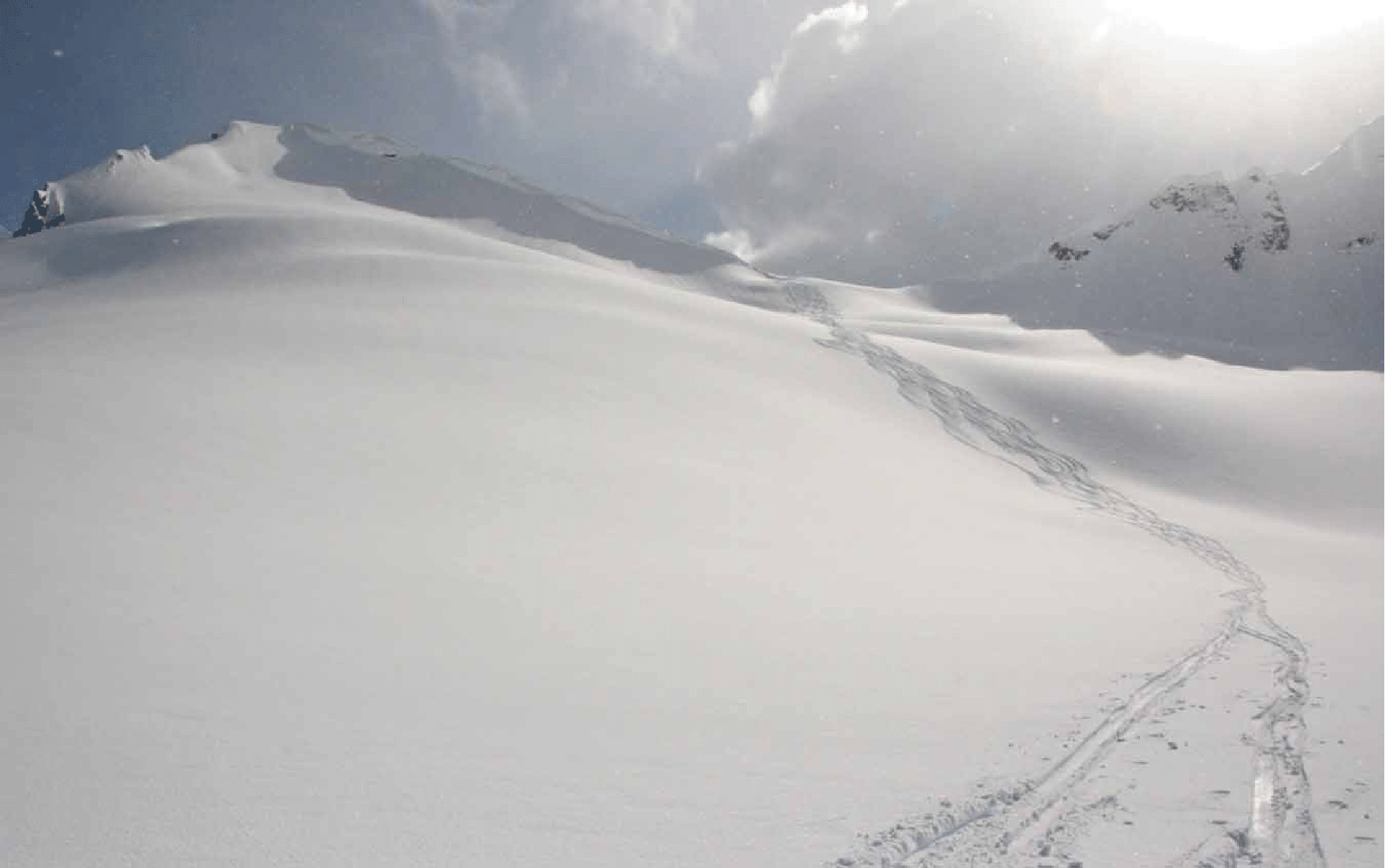
The view of the slope we skied from the col, taken by Ellen Hollinshead from Typee, a peak near Battle Abbey. This majestic view shows the steep exit (small slab avalanche). Our camp and Oasis Lake are visible near trees at lower left; the Goodrich-Hanover col (see next day) is visible at top left; Snow Ocean, where we started our 2004 traverse, inspired by exactly this view, is at extreme top left. The serac fall is prominent at center left. The closeup below (also by Ellen) shows the uptrack nicely.
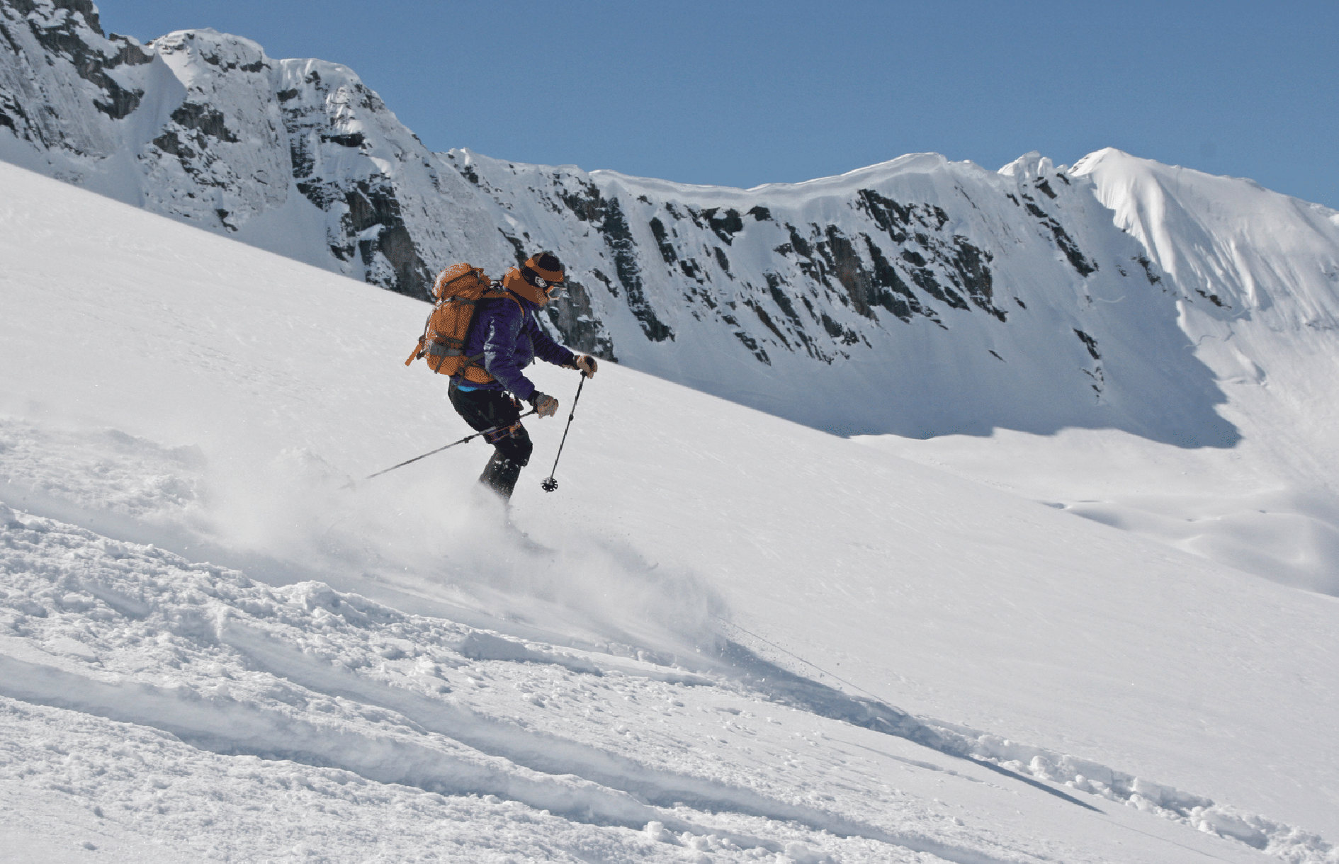
Pierre on run number 2 of day 2. Chinese Wall behind.
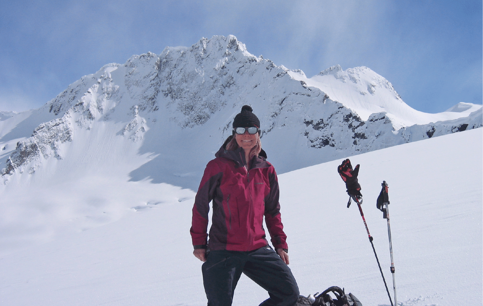
Katie, with Oasis Pass behind.
Bill and the Chinese Wall.
Katie after the nice powder runs, with Oasis Pass and Billy Budd behind (photo by Elke Dratch).
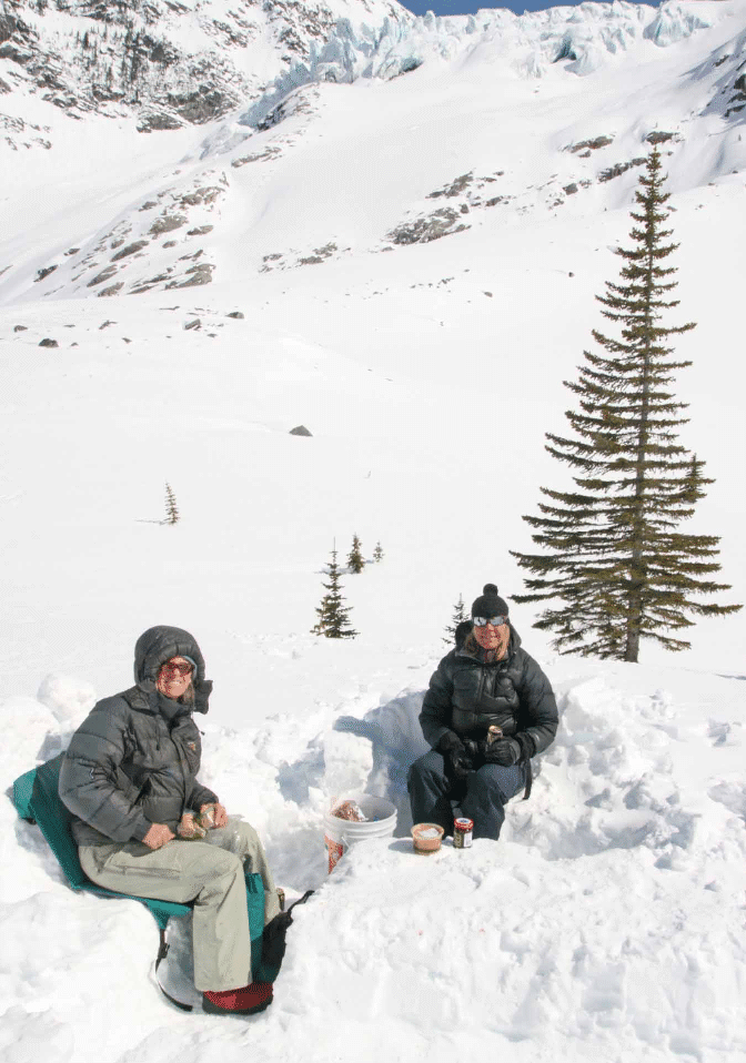
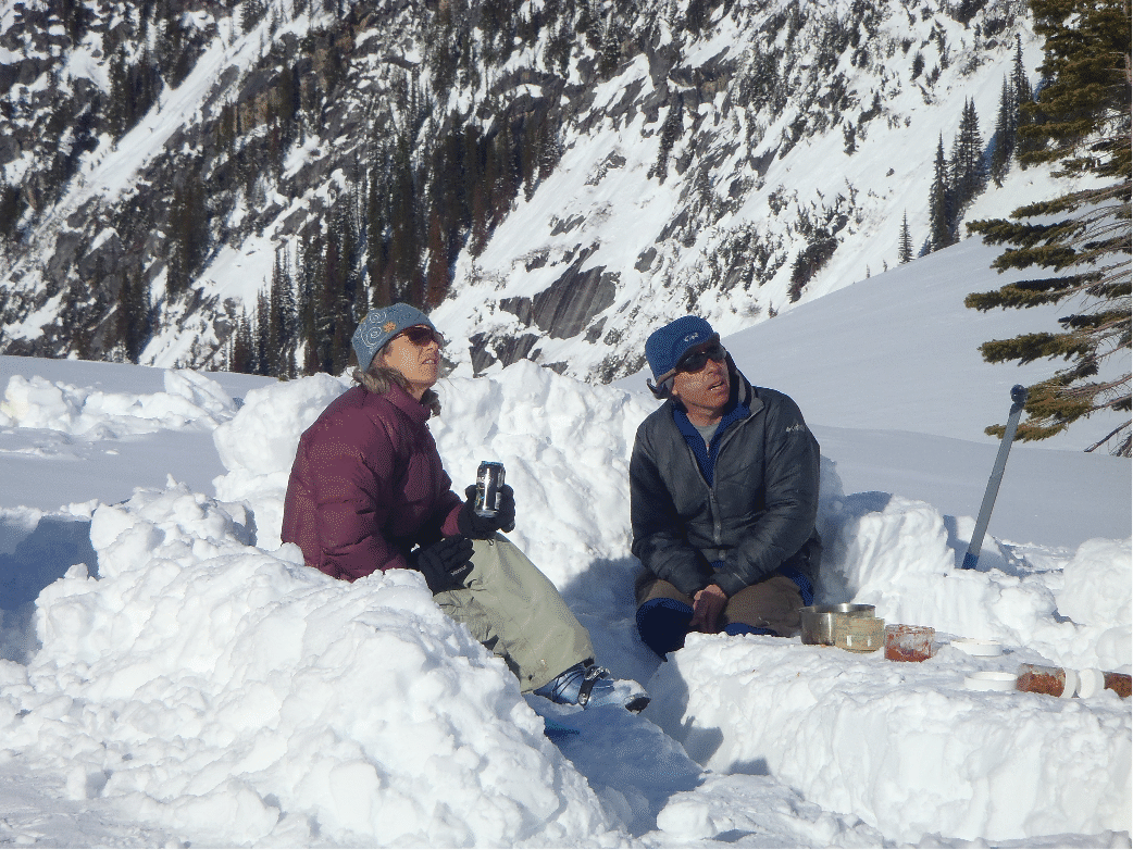
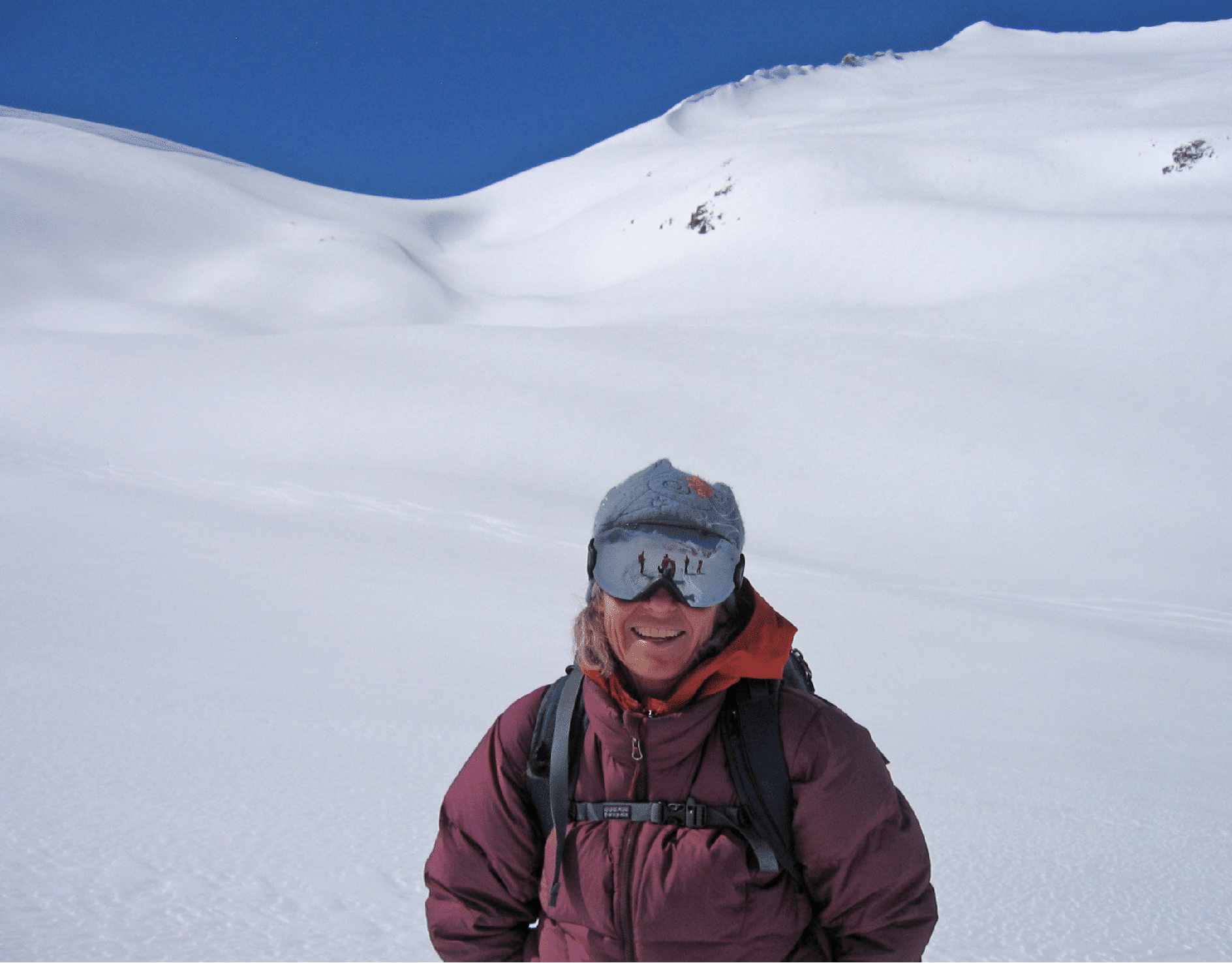
Katie and Kim, and Katie and Stan, enjoy happy hour at camp. The winds never let up all week. (Second photo by Kim Clark.)
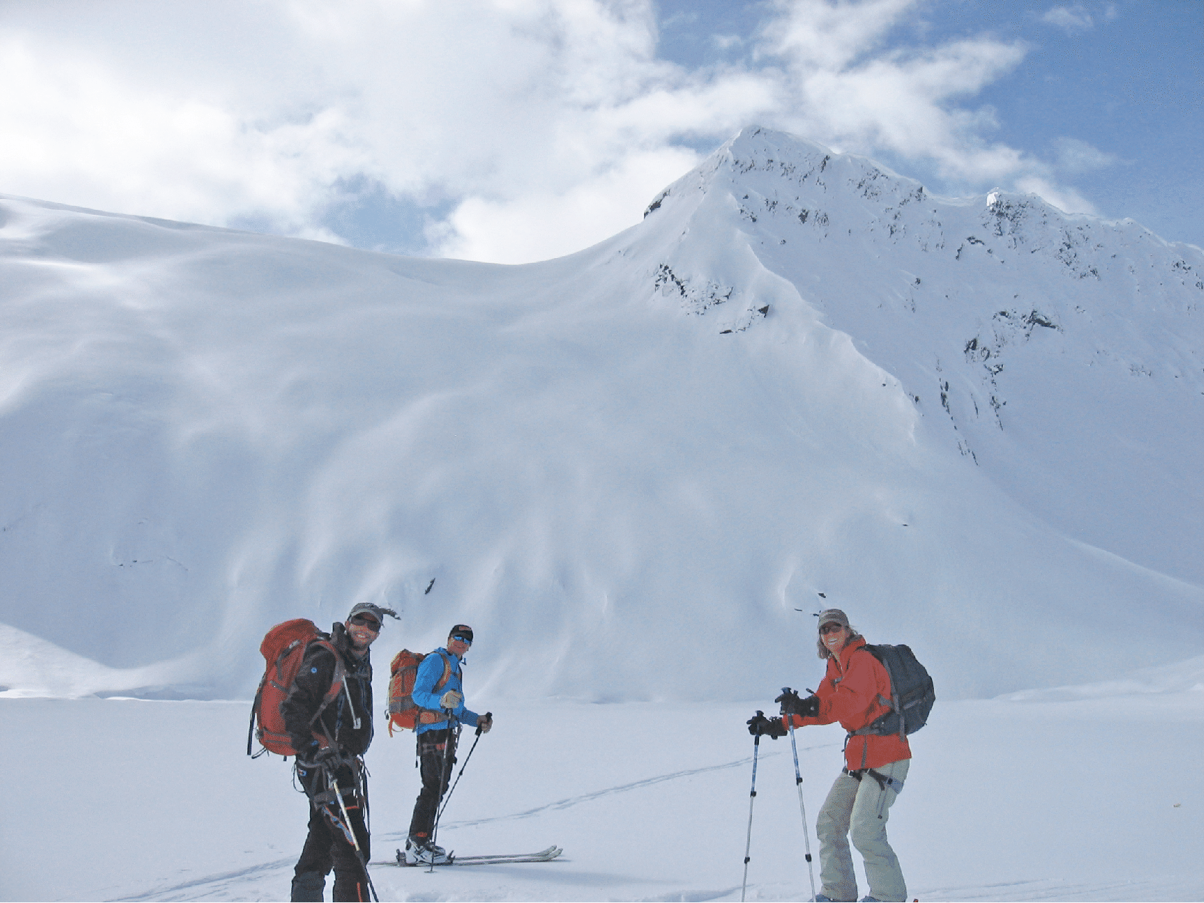
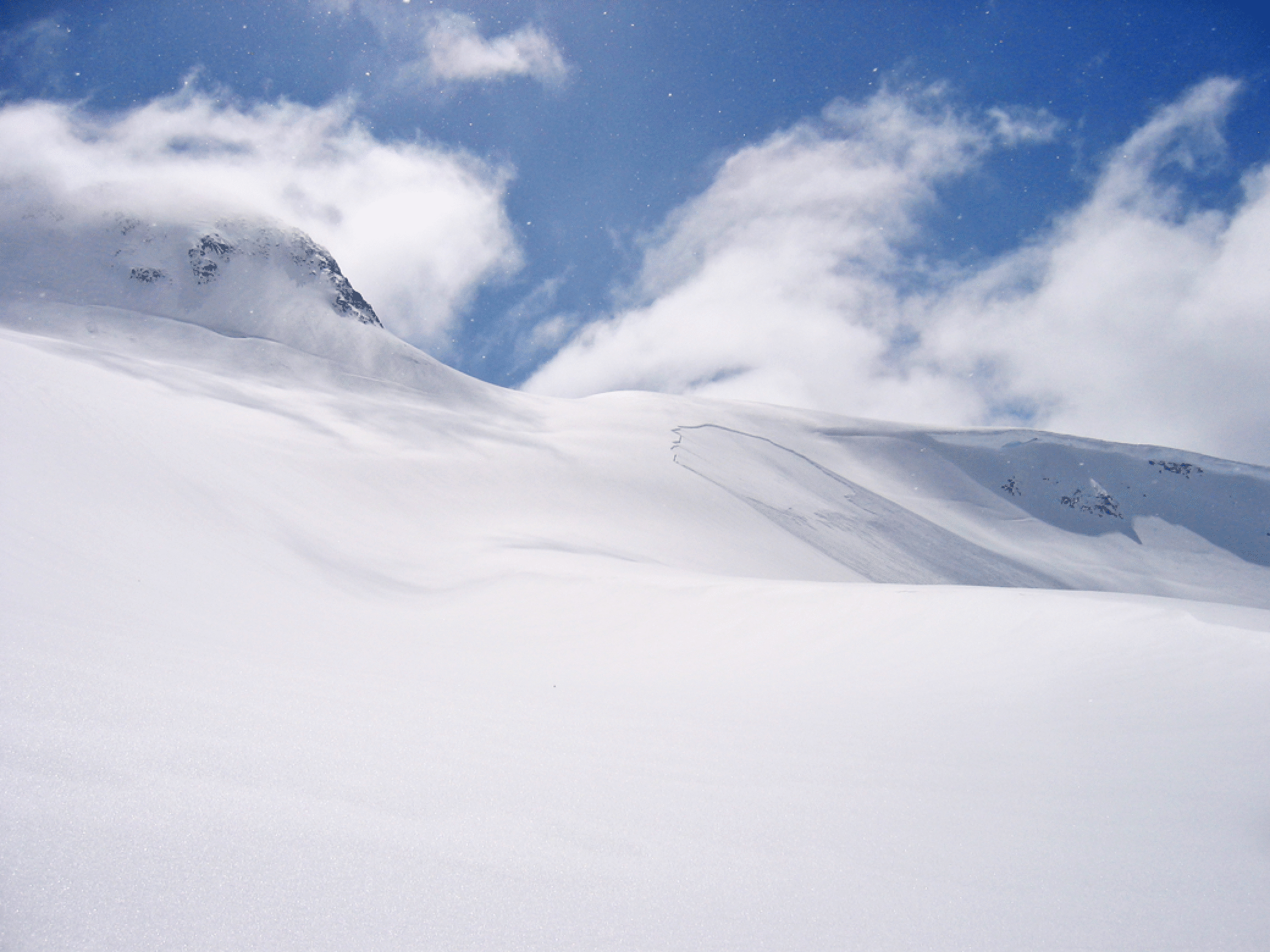
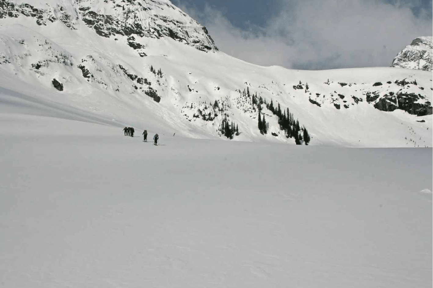
On our third day we went over Oasis Pass and down to the Stygian Pool, the remote lake at the head of Kellie Creek. The slope beyond led easily to West Scylla Pass. (Photo by Elke Dratch.)
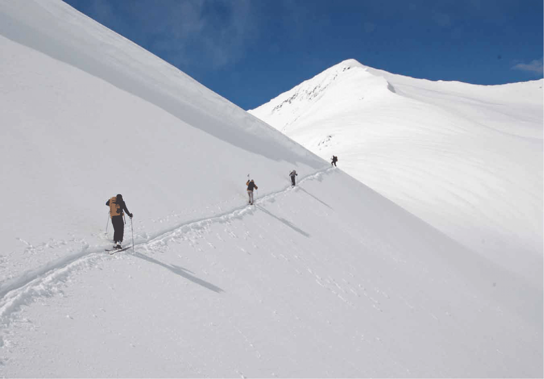
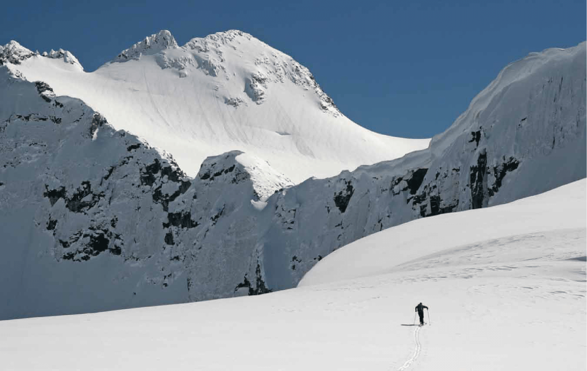
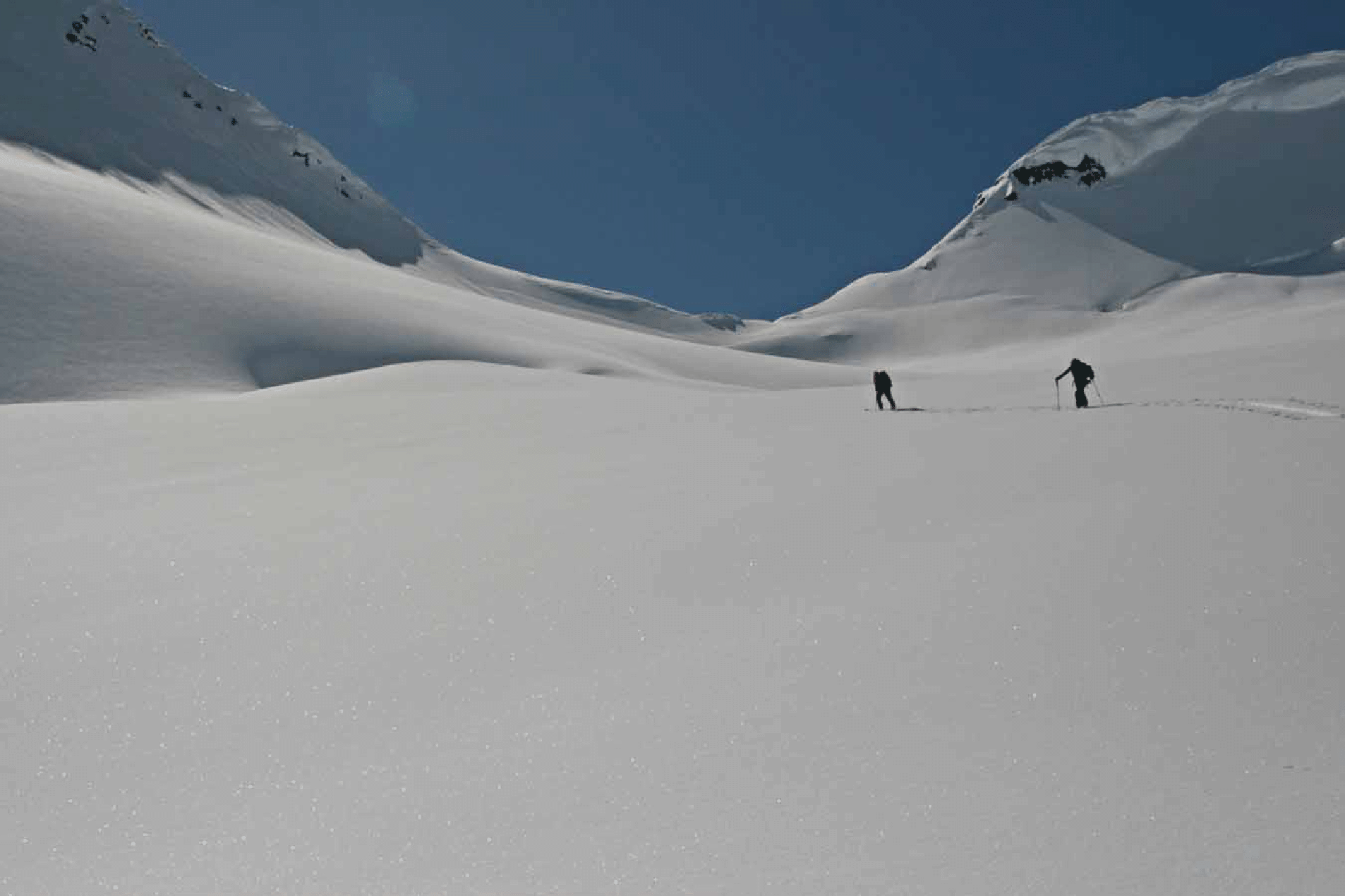
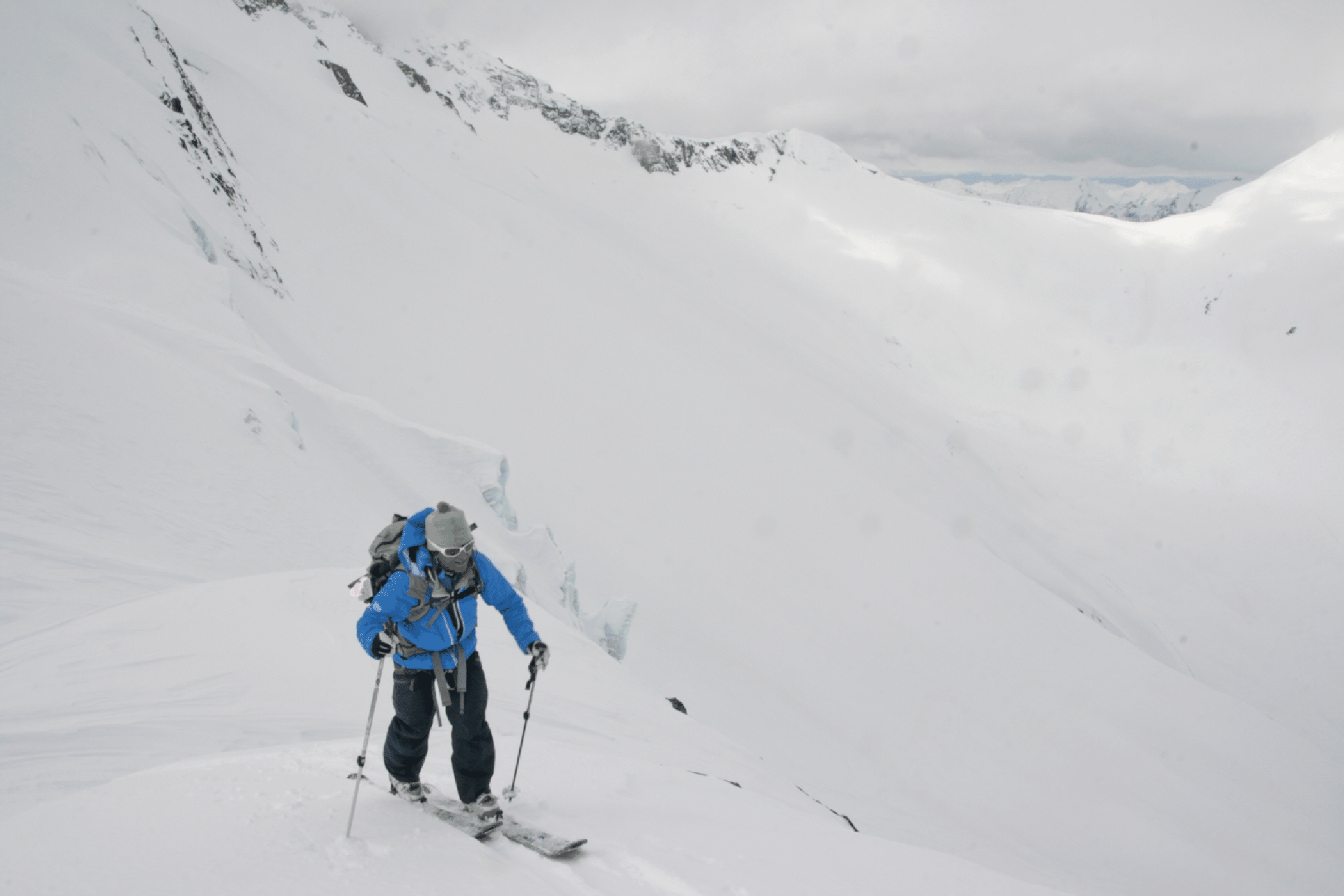
Day three. Kim climbing to the col west of Scylla.
Climbing towards South Scylla Pass after the pass above the Stygian Pool; west face of Billy Budd prominent left of the summit (that face caused us much difficulty in 2004). Photo by Pierre Hungr.
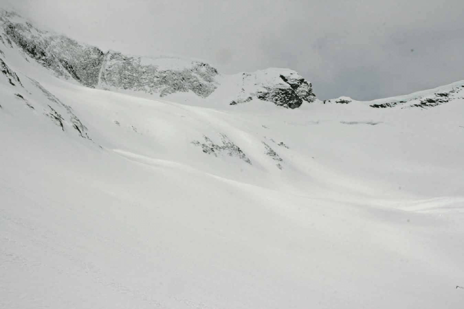
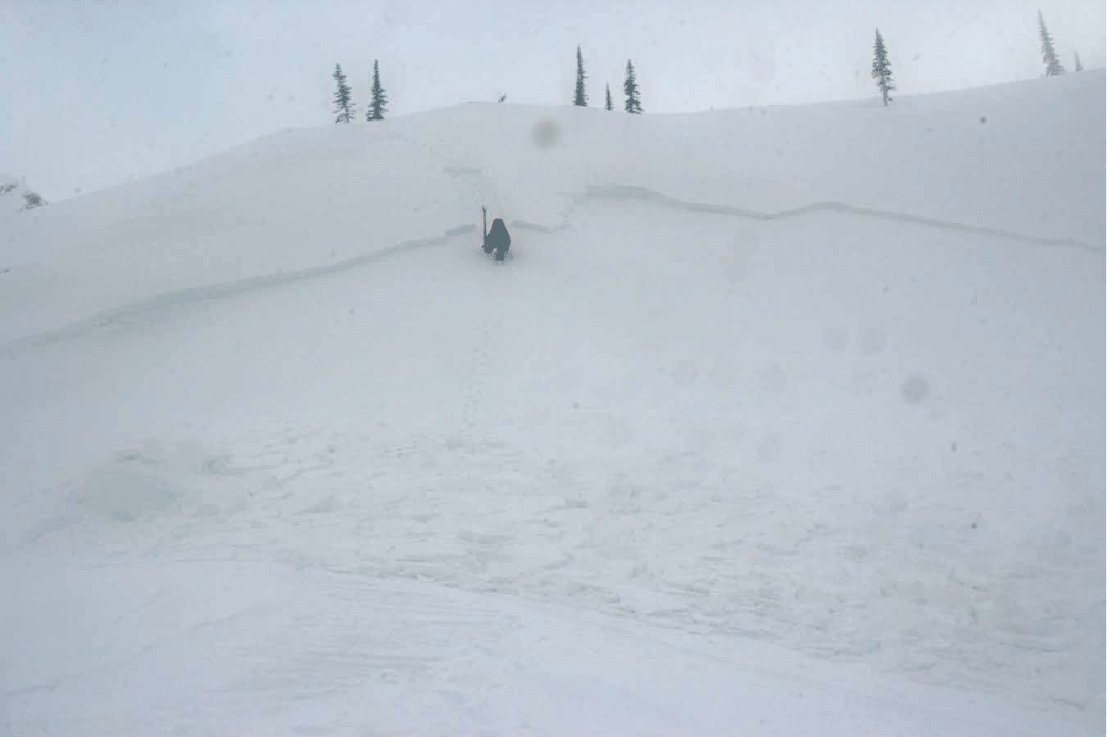
As we rested after the first part of the climb out of the Stygian pool, this class 2 slab released across from our position. Note how it stepped down two levels. (Photo by Ben McShan)
A side view of the natural avalanche, with South Scylla Pass behind (photo by Elke Dratch).
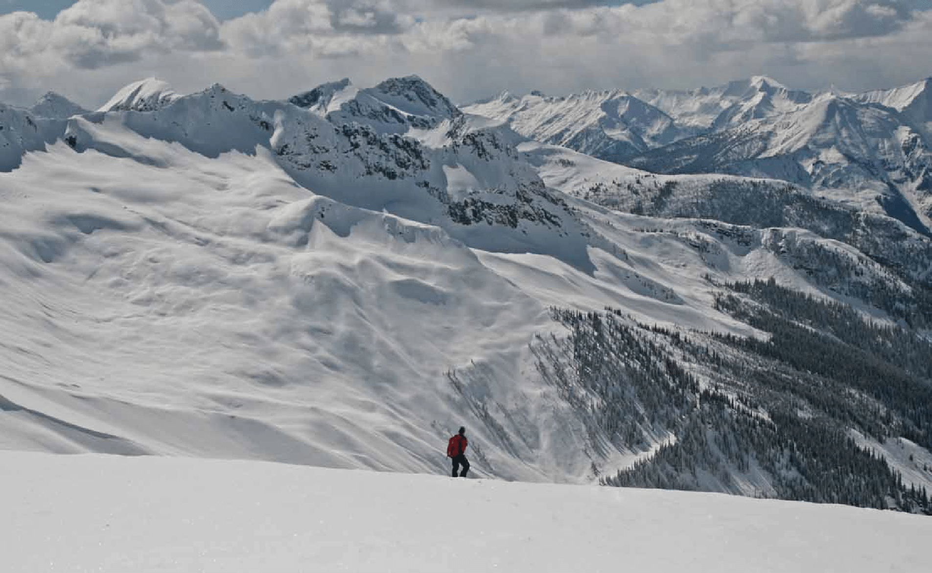
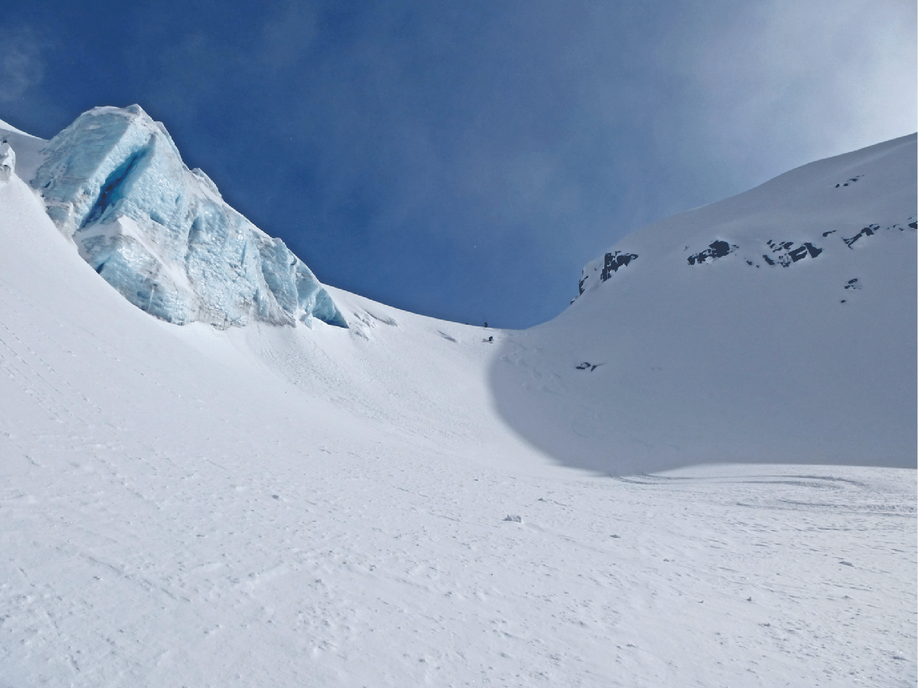
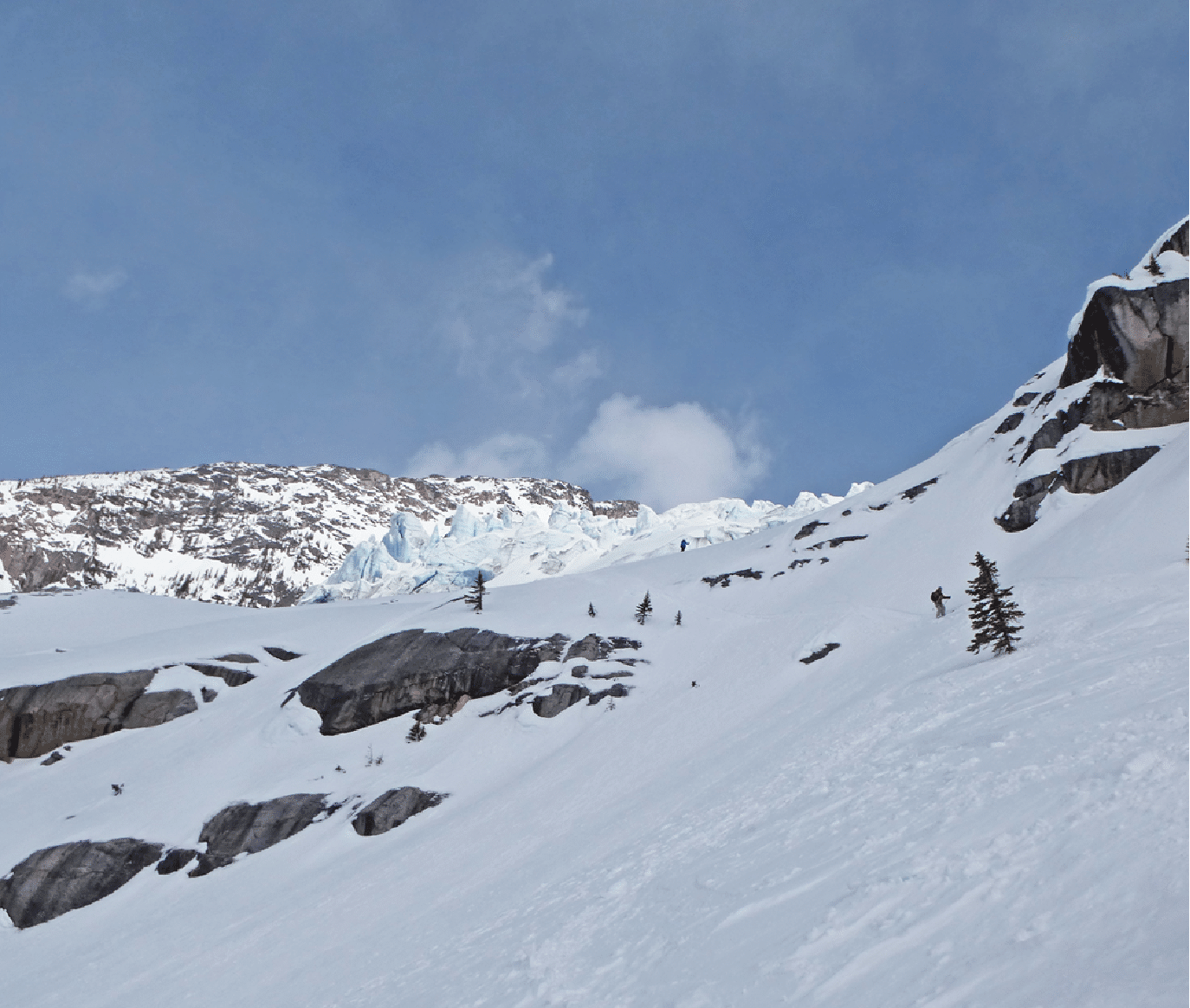
The descent of the Scylla Glacier (photo by Ben McShan).
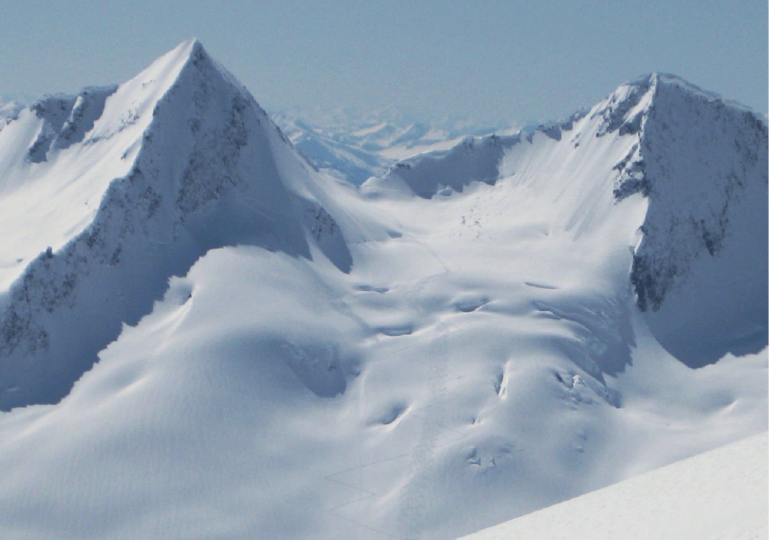
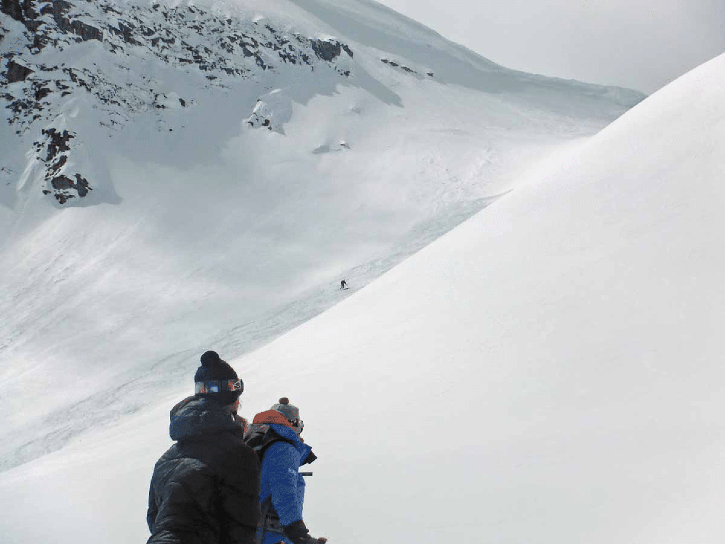
The basin south of Scylla. Our descent was from the snowy col left of center, followed by an unpleasant downward traverse through the debris (photo by Ben McShan). The next photo, by Elke, shows the same terrain, with nice light on the Goodrich-Odysseus col at right.
![]()
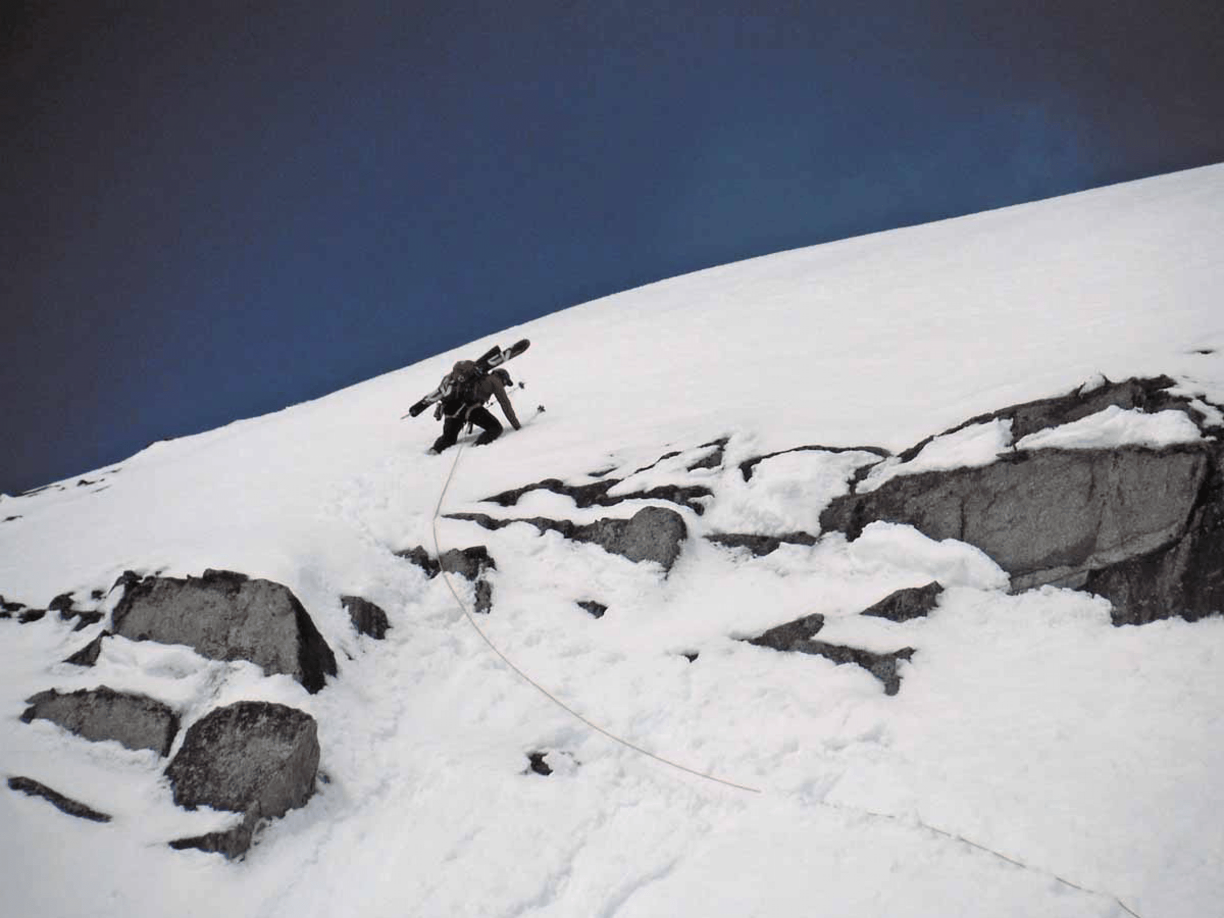
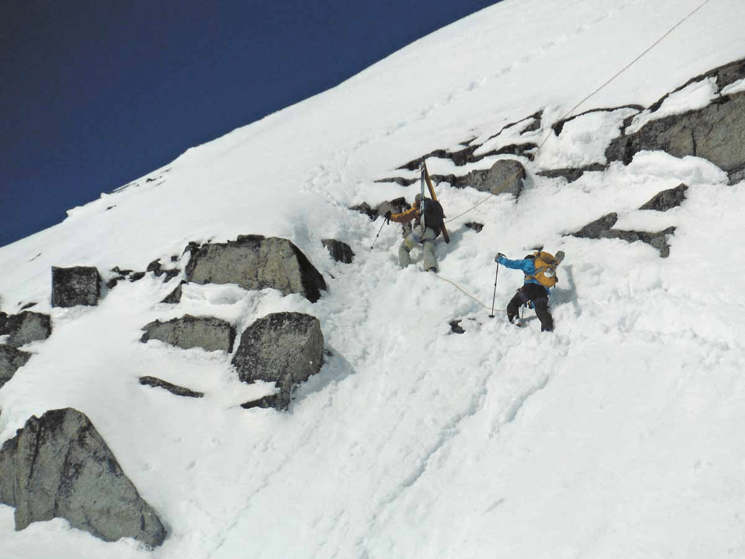
Pierre leads up through steep snow to find a way to the Goodrich-Hanover col, which yields easy access to the Wrong Glacier (photo by Ben McShan).
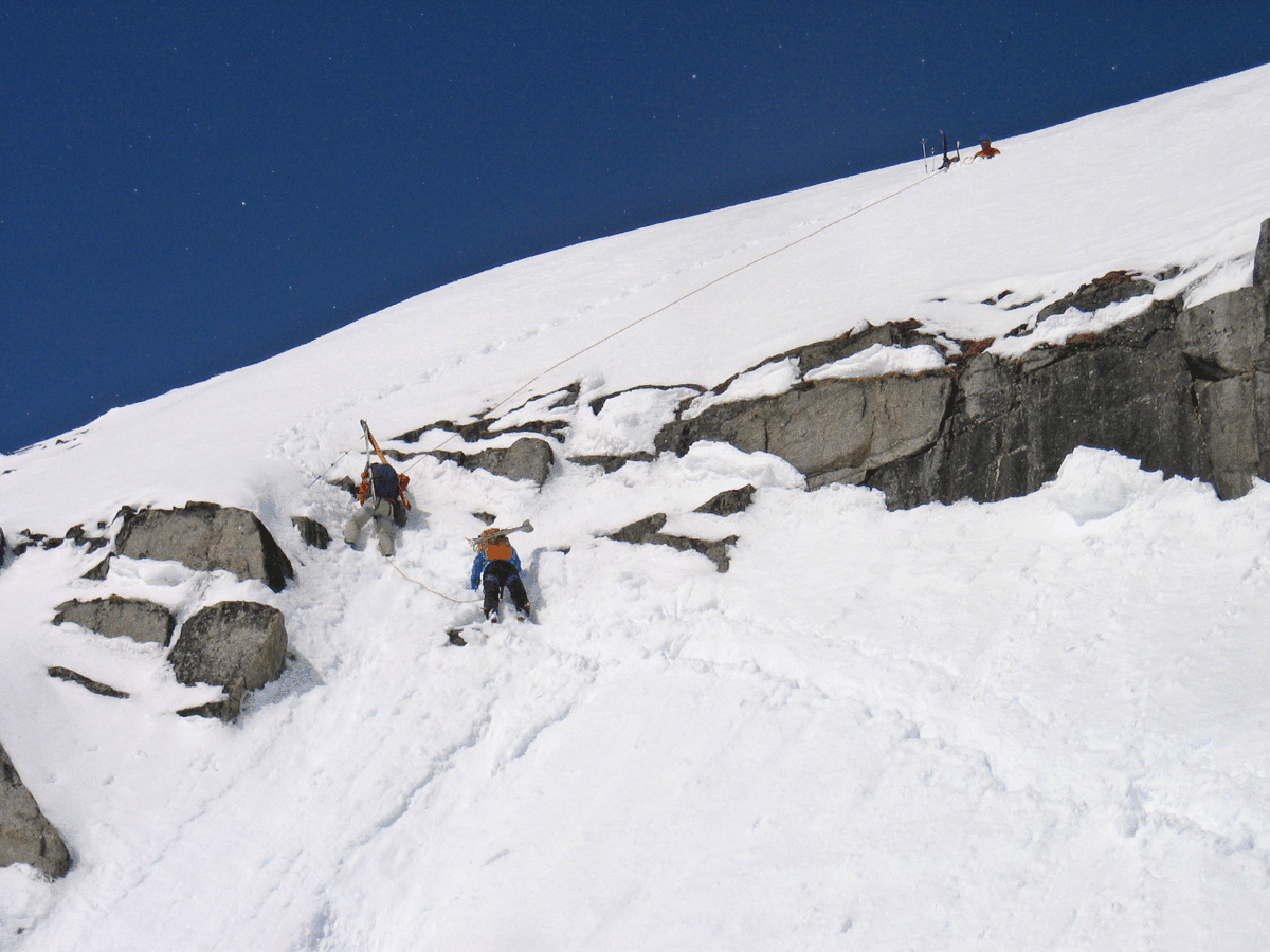
Pierre’s belay made it easy for the rest of us. Here Katie and Bill head up. (Photo by Elke Dratch.)
Close-up of Katie and Bill (photo by Ben McShan).
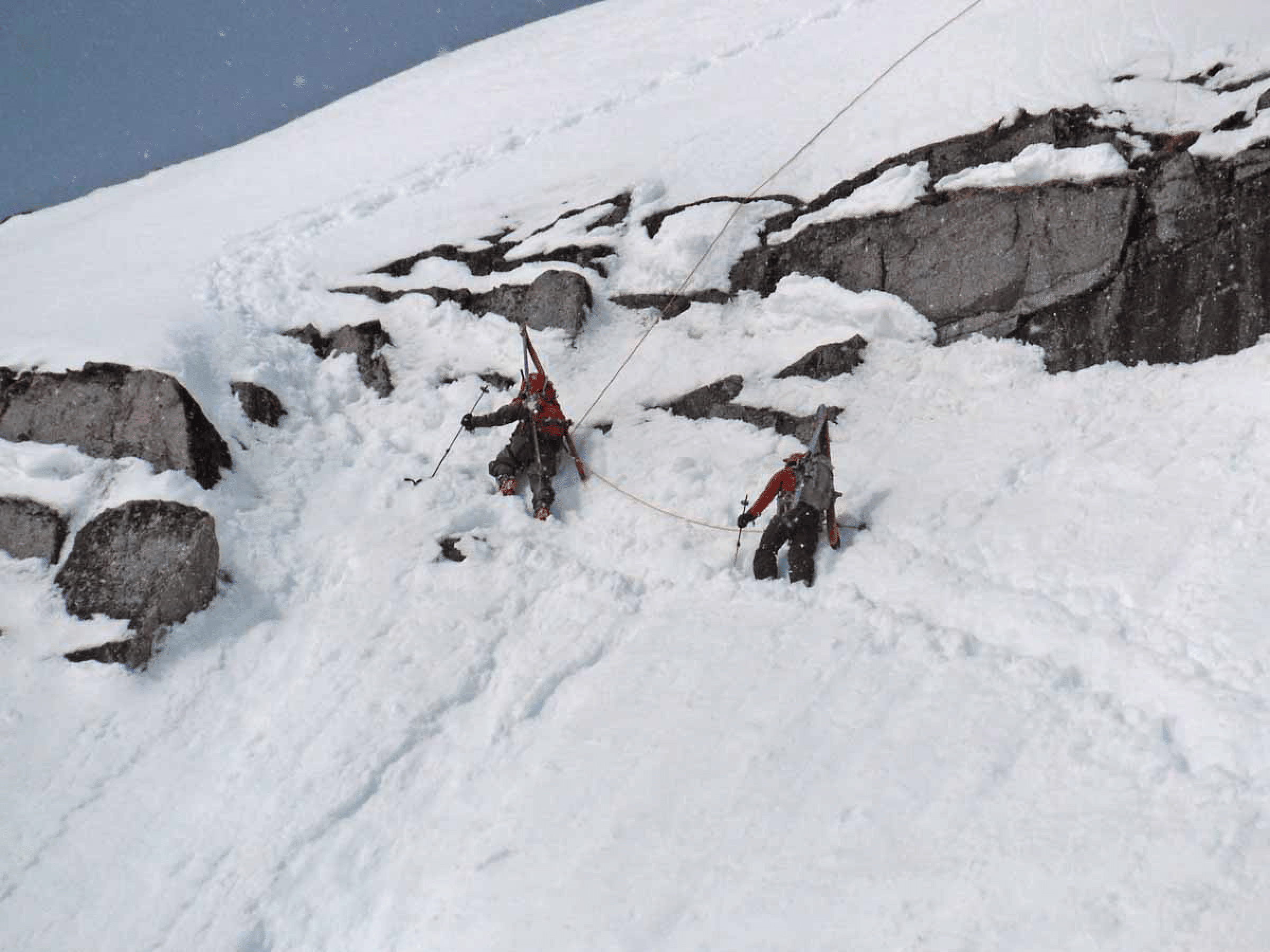
Stan and Elke (photo by Ben McShan).
Stan and Elke just at the crux, as snow started to fall (photo by Ben McShan or Kim Clark).
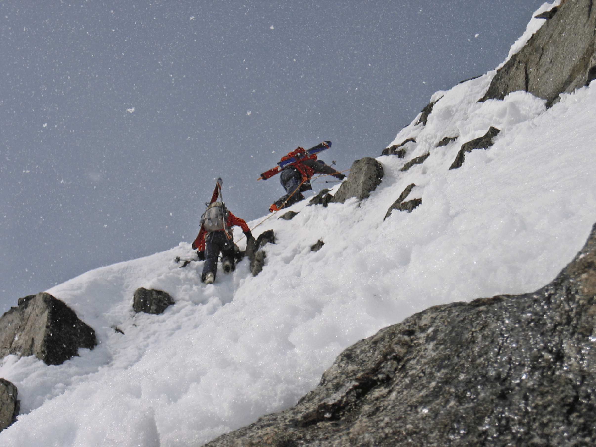
Elke topping out after the belayed pitch to reach the Goodrich-Hanover col.
The descent on the main Wrong Glacier from the Goodrich-Hanover col.
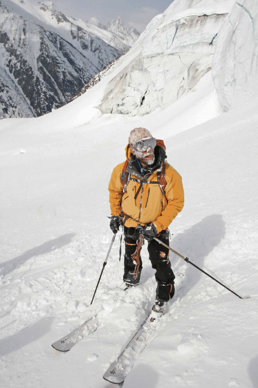
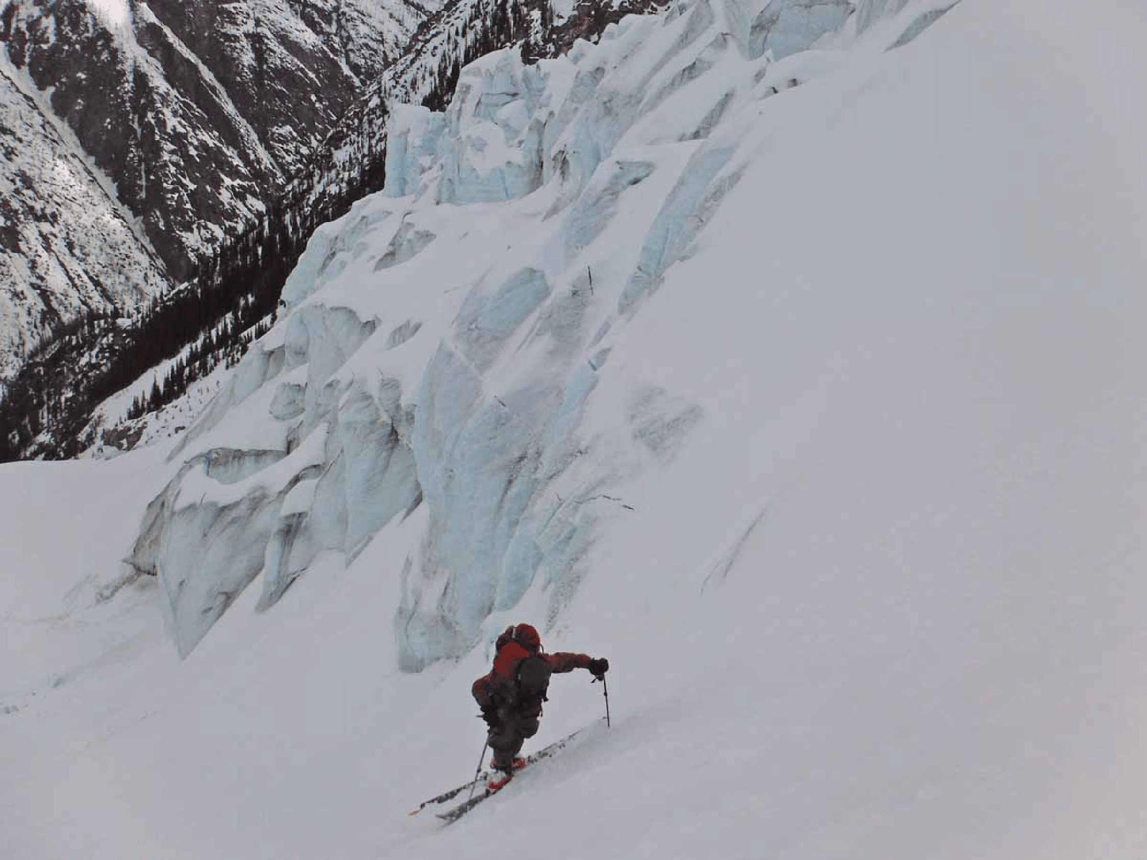
The steep descent by the Wrong icefall. A couple days later we would go up this. Surprise: Skiing up is much harder than skiing down. Photo by Pierre Hungr.
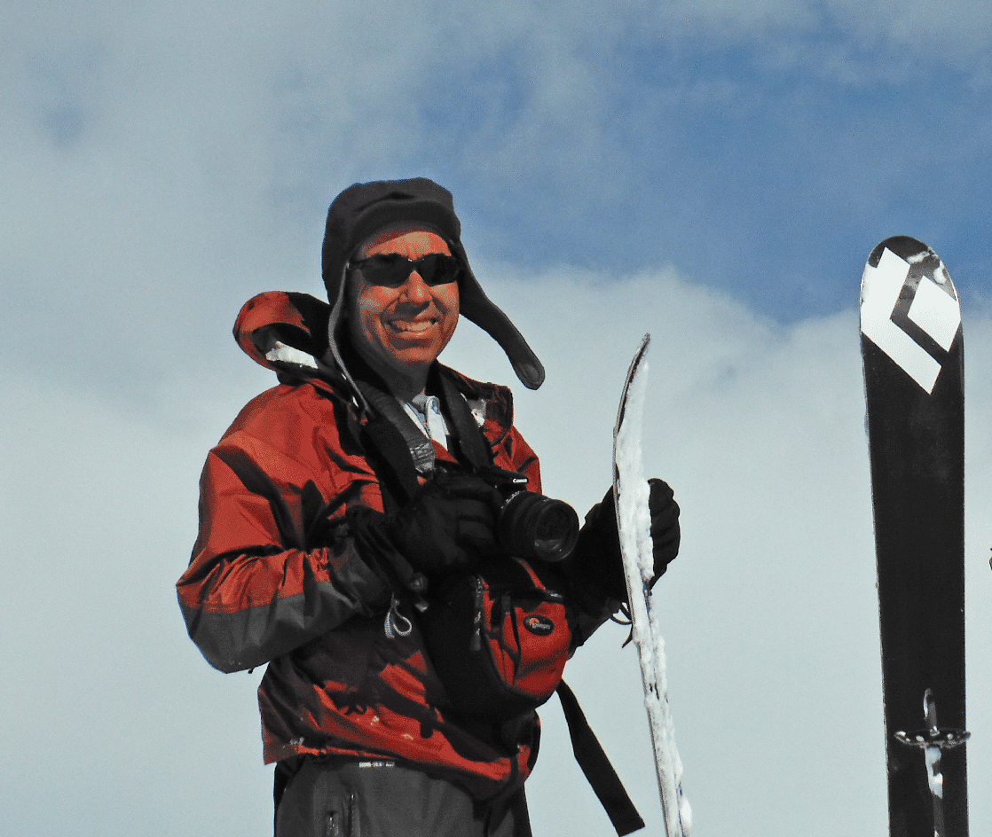
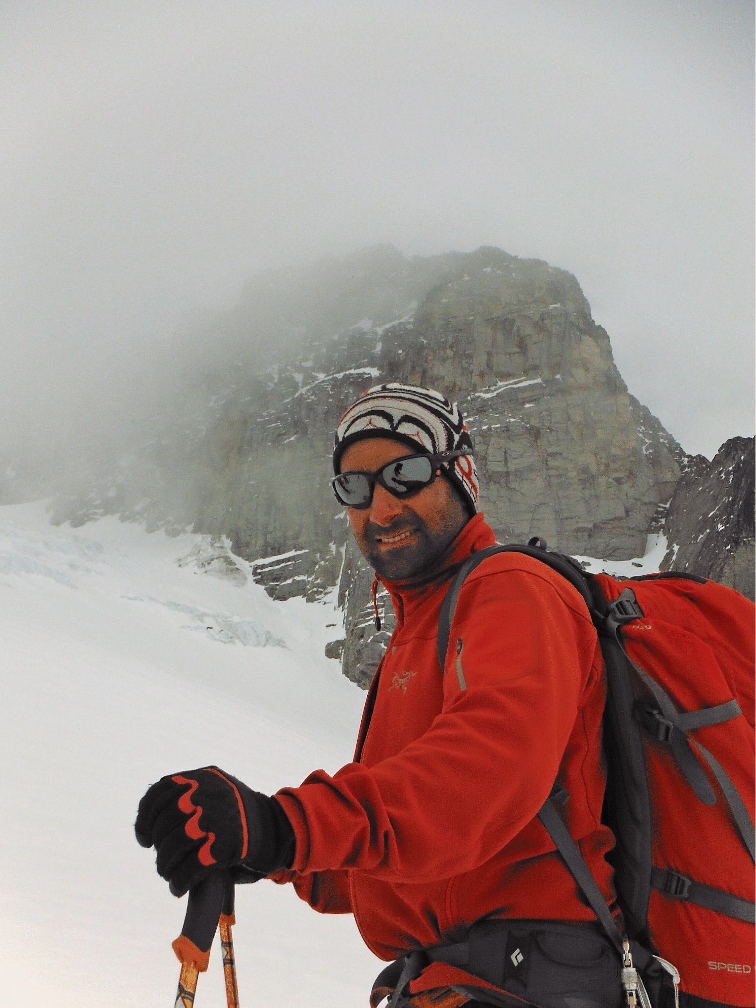
Ben.
David Peak right of center, named after David Hope-Simpson, my sister’s father-in-law, who climbed it in about 1949 from McMurdo.
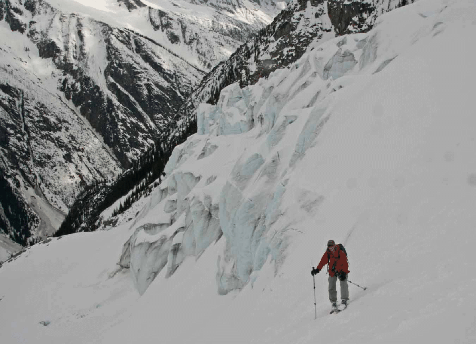
Pierre after the descent of the Wrong Icefall.
Katie on the exit traversing ledge from the Wrong to the right. Photo by Pierre Hungr.
Day Four: Wednesday: The headwall in Houston Creek. We ascended the slope just right of center.
Houston Pass and White Chocolate Couloir in center. We skied that in 2004.
The start of the Harpoon Glacier: a glorious line, but we got only about a third of the way up it.
Pierre on the Harpoon Glacier (photo by Ben McShan).
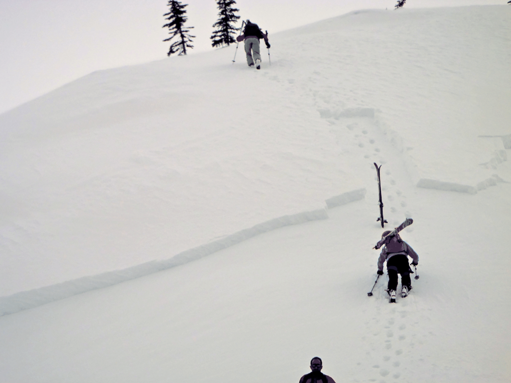
A slab avalanche on our return trip, just below camp. Pierre cleaned it up a little and we booted up to get home.
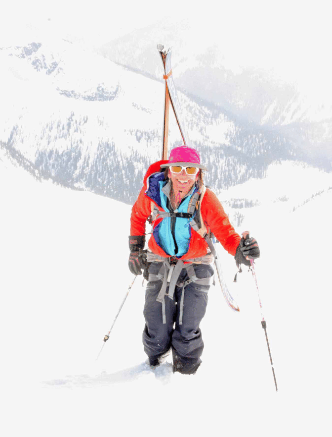
Booting (photo byKim Clark).
The view from near camp of the Wrong icefall and the descent route at looker’s right. This picture proves that there was more snow here this year than in April 2004, where more rocks were showing.
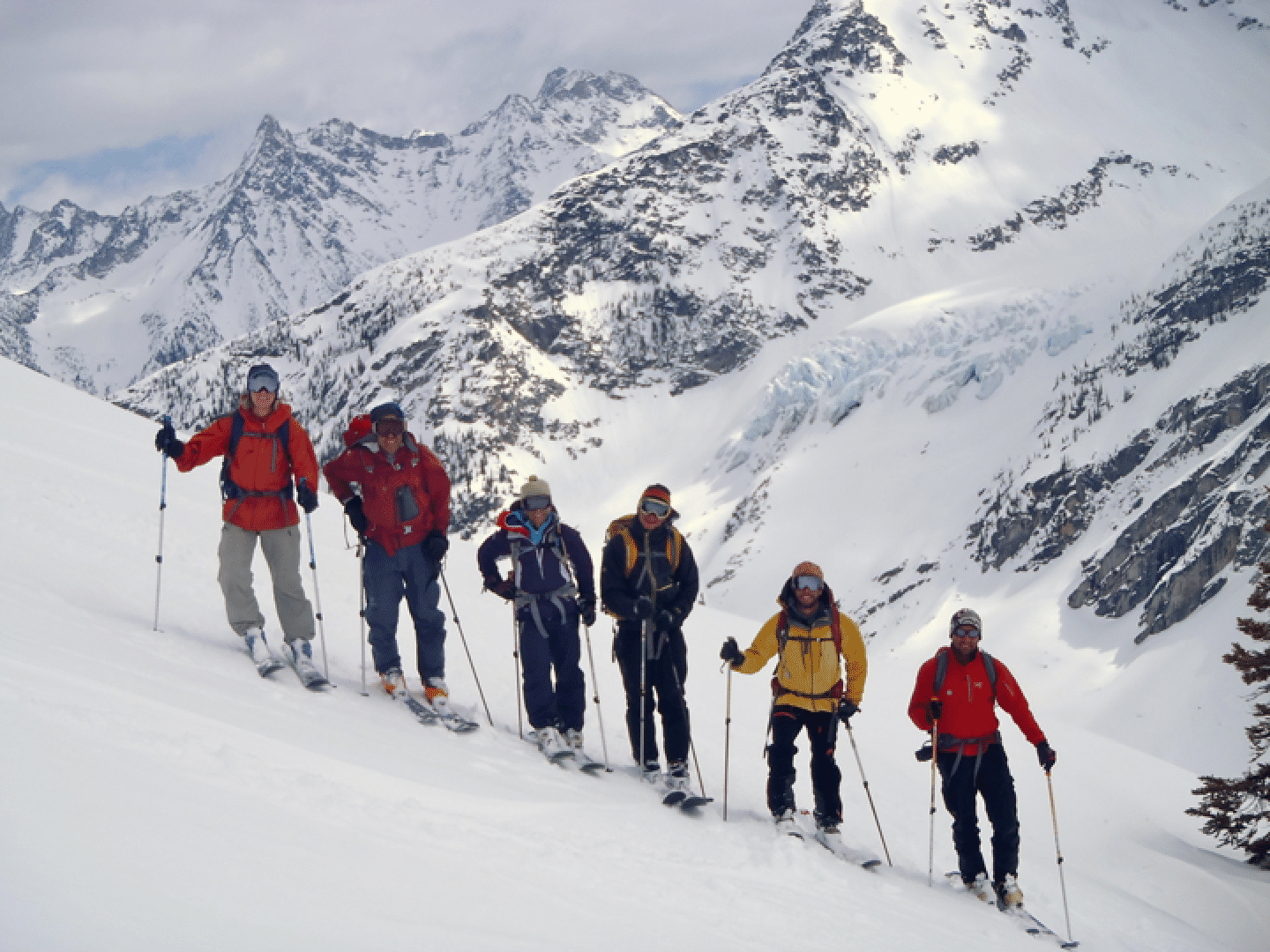
Katie, Stan, Elke, Bill, Pierre, Ben on the Billy Budd day (photo by Kim Clark).
Pierre checking conditions as we enter the steep section.
Friday, Day 6: Ascending the Wrong icefall. This had a very steep slope making for difficult kick turns.
Kick turns on the Wrongfall were difficult (photo by Ben McShan).
After much instruction, I am finally able to get my feet in the correct position on a difficult kick-turn (photo by Ben McShan).
Elke reaches a remarkable spot above two lobes of the Wrong icefall, with a view straight down to camp. Oasis Pass in rear.
The Wrongfall (photo by Ben McShan).