Mt. Tupper, Day Two: Over 15 Hours of Hard Work
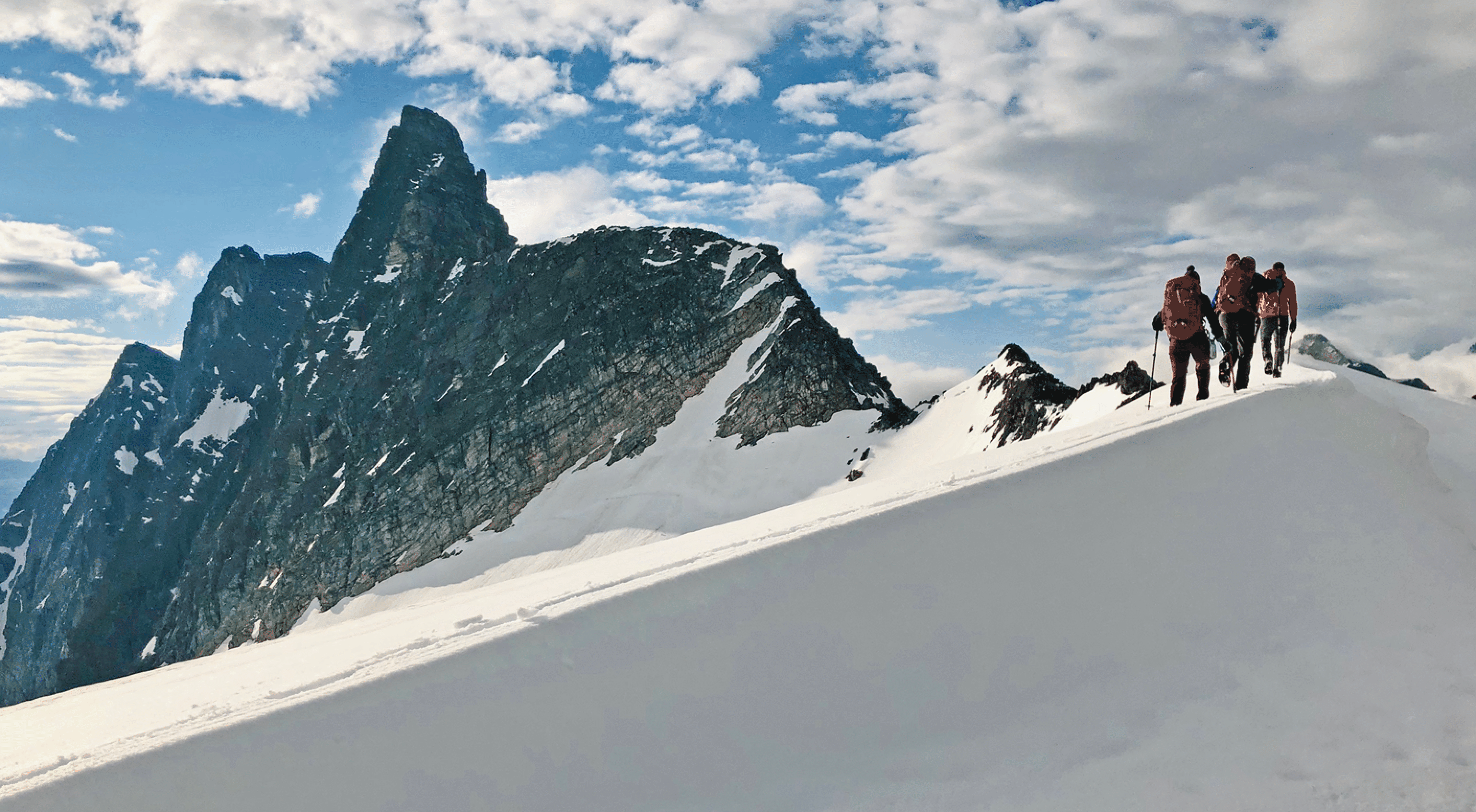
Sir Donald greets us at dawn. The famous NW Ridge is the right skyline; I climbed it in 1982.
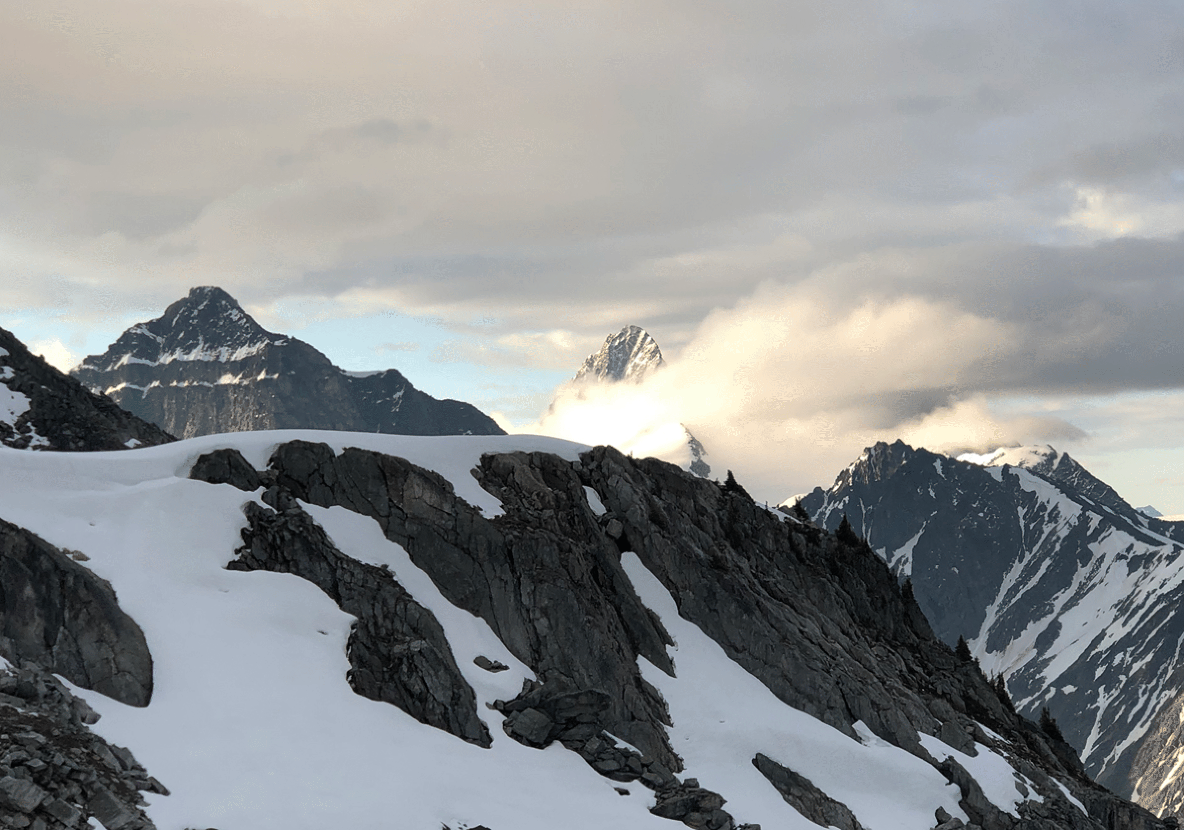
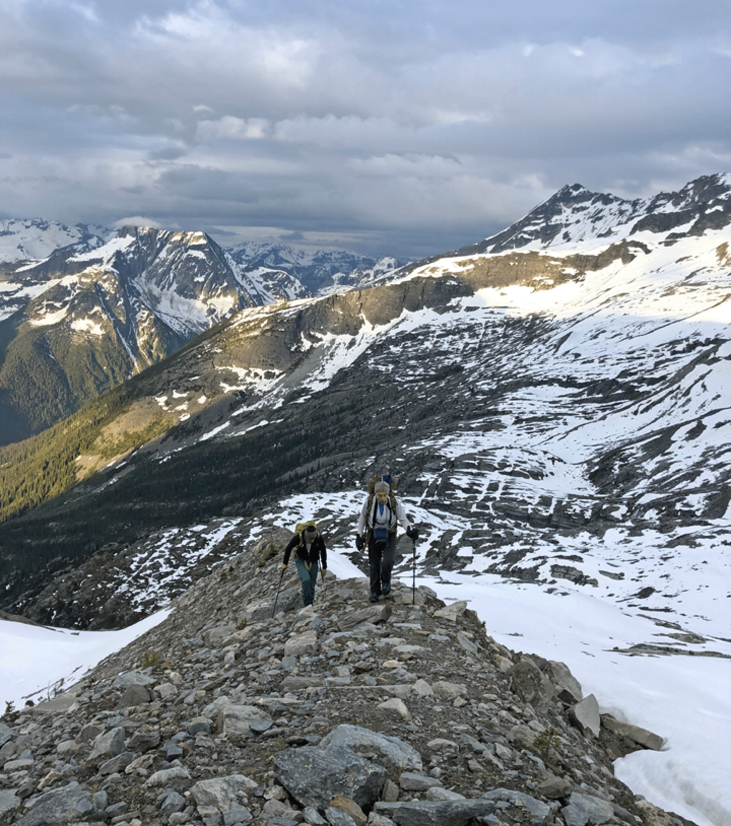
The walk on the lower ridge was pleasant, but the clouds were already building up.
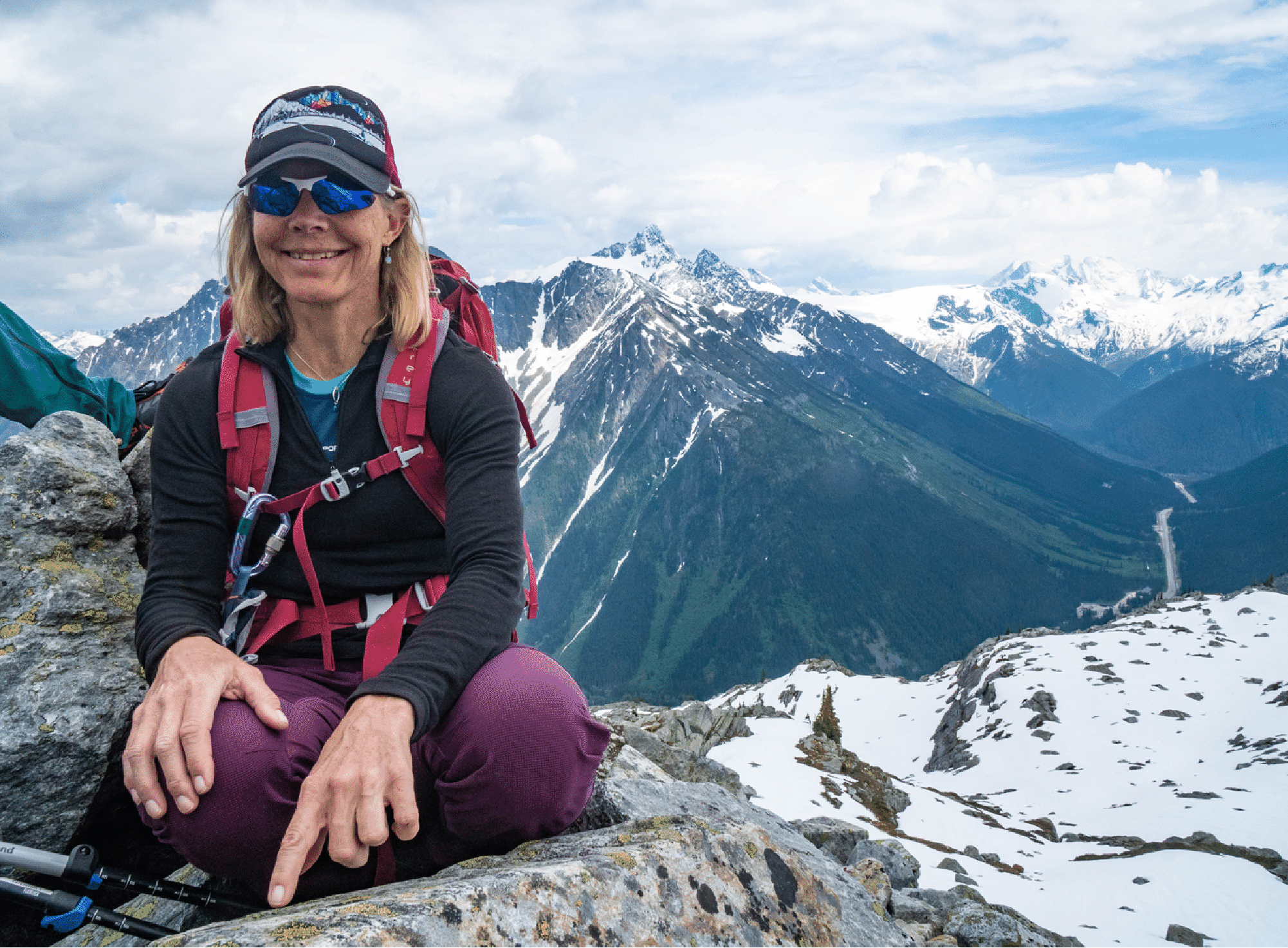
Tupper rises in the east, where there is still blue sky. (Photo by Tim McAllister.)
The climb is in sight of the Trans-Canada Highway below.
Climbing through the snow. (Photo by Tim McAllister.)
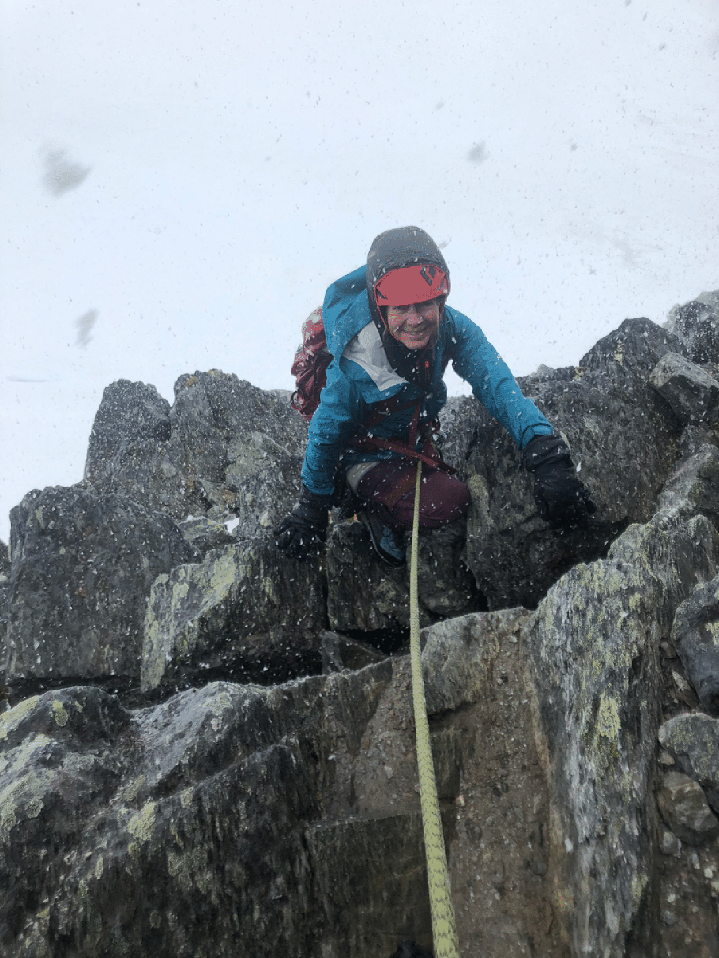
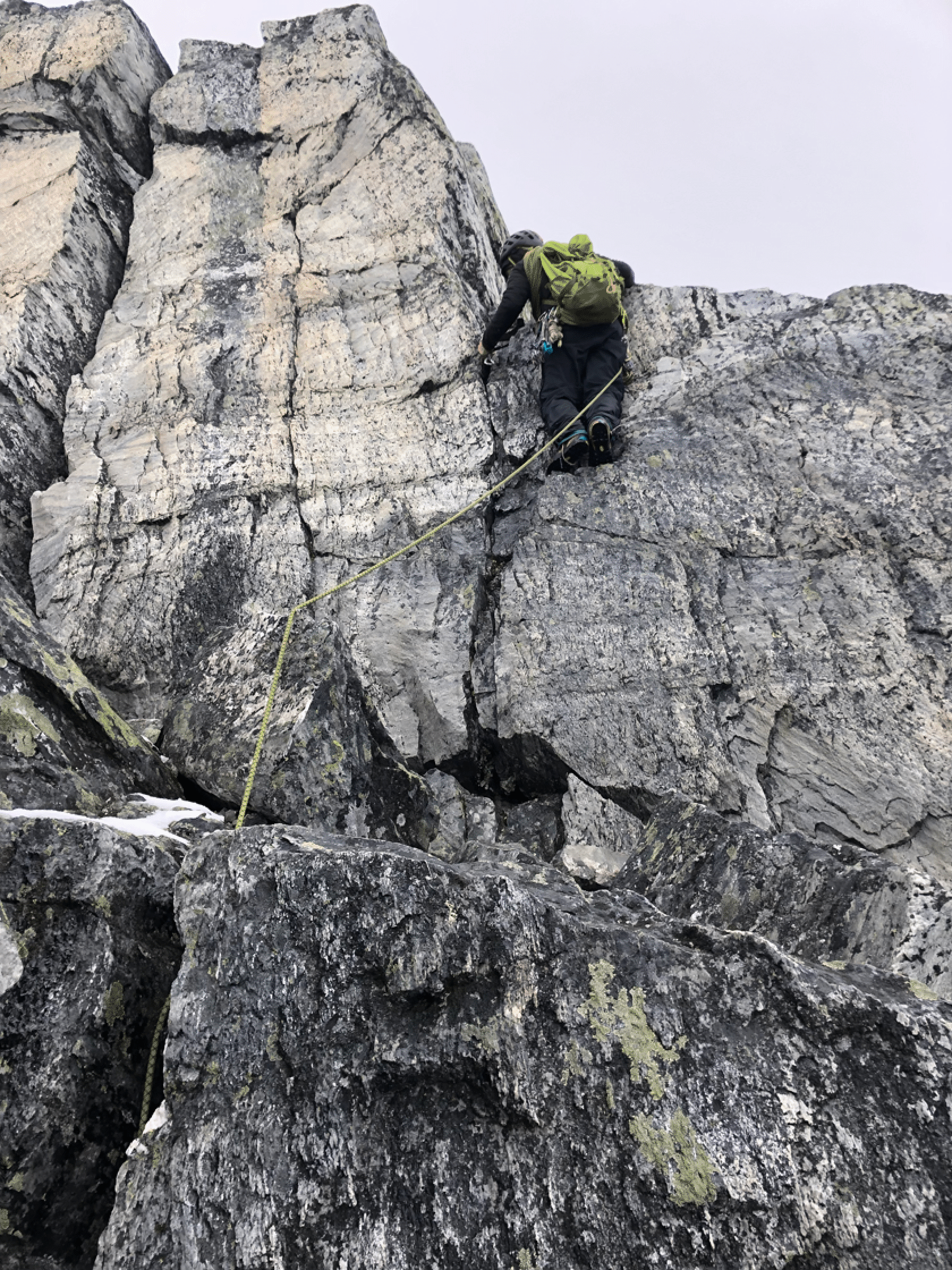
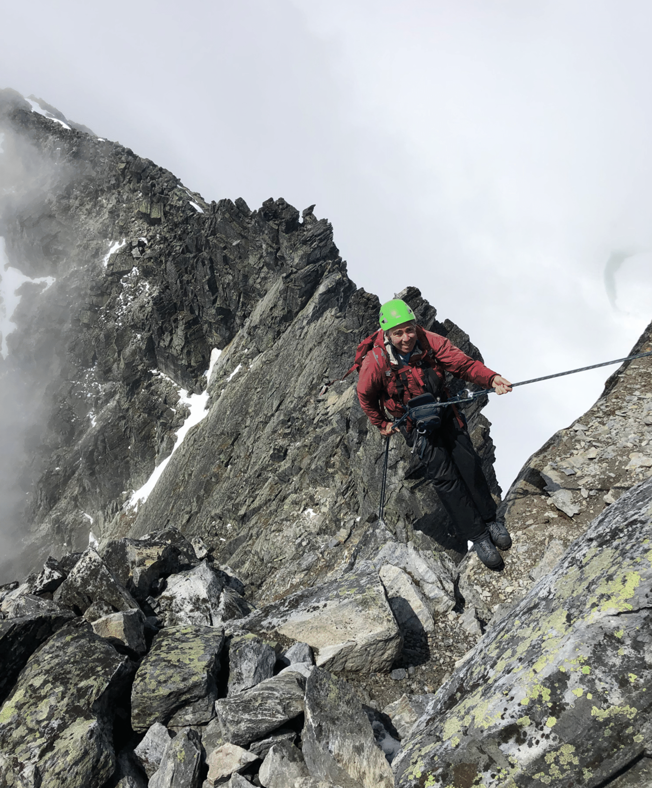
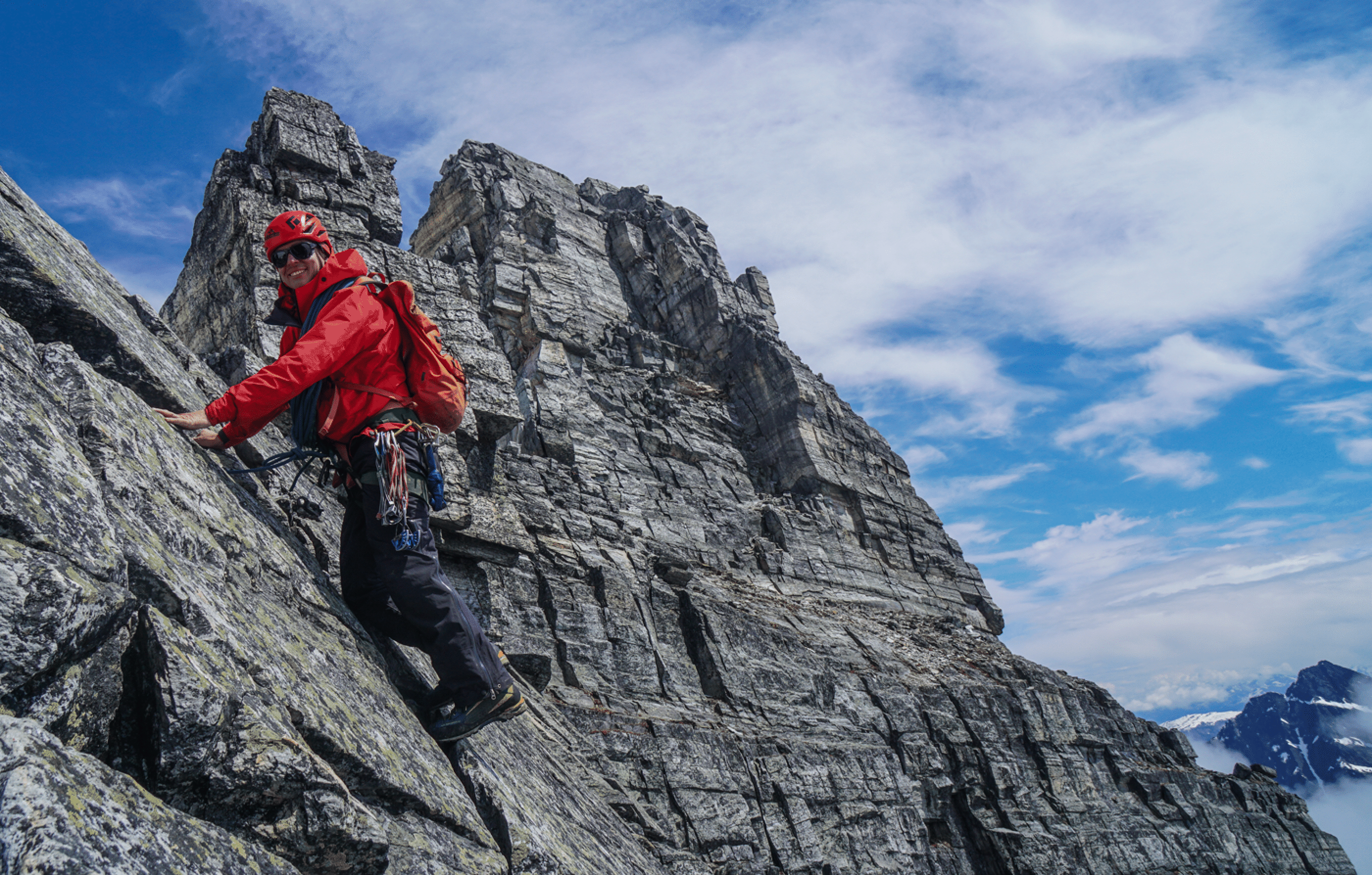
As the technical section begins, the rock is quite wet. First photo by Andrew Rennie.
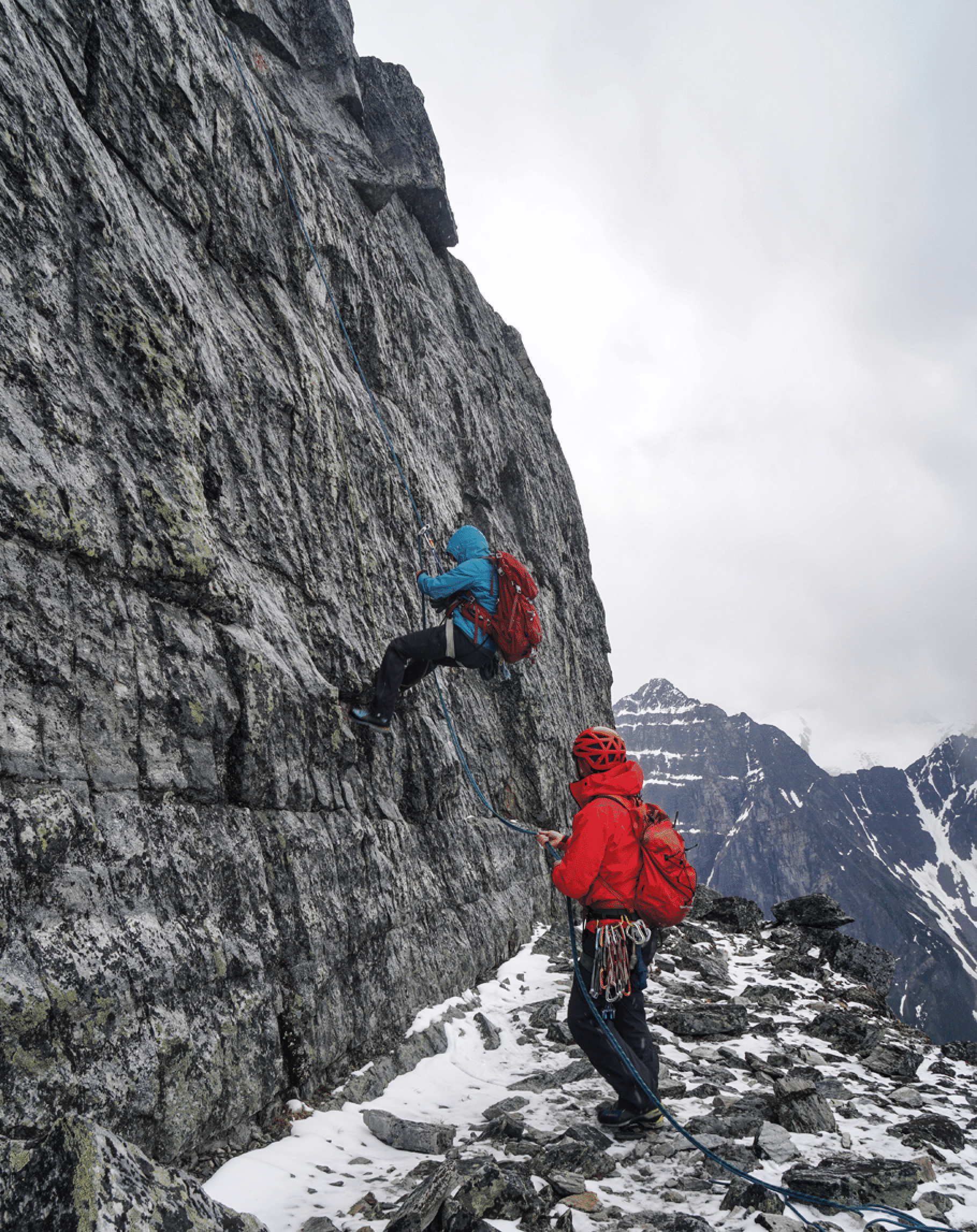
Tim leads the second pitch. The hard part here is off the ledge with a little snow. The crack on the left is an alternate route. Photo by Kim Clark.
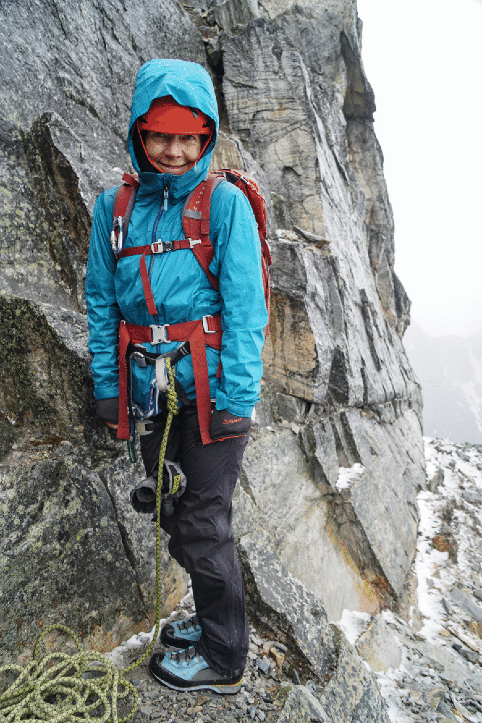
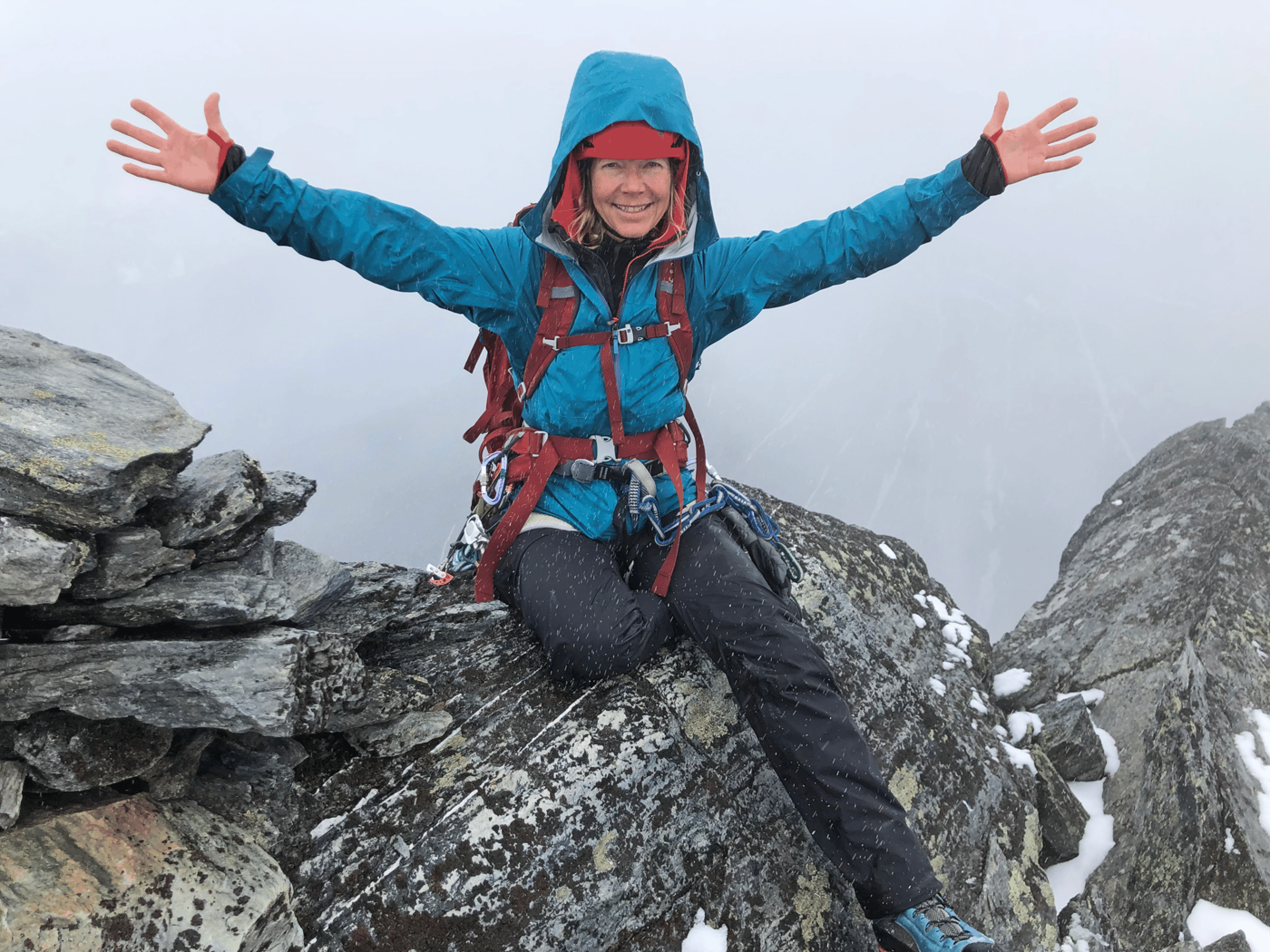
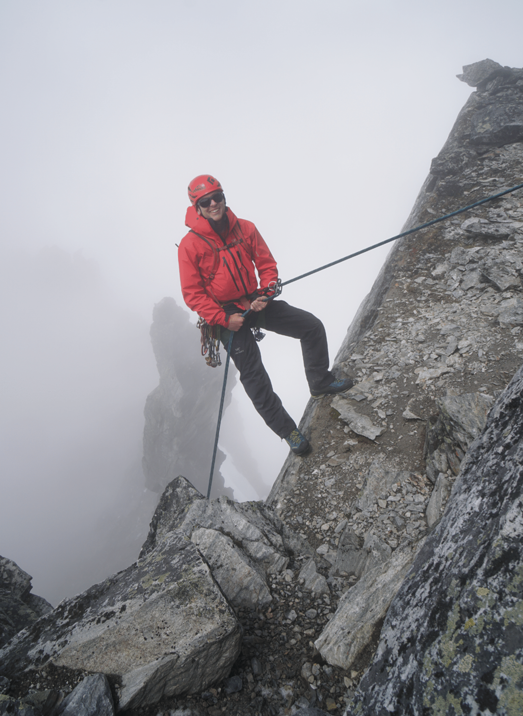
A happy Kim, despite the falling snow. (Photo by Tim McAllister.)
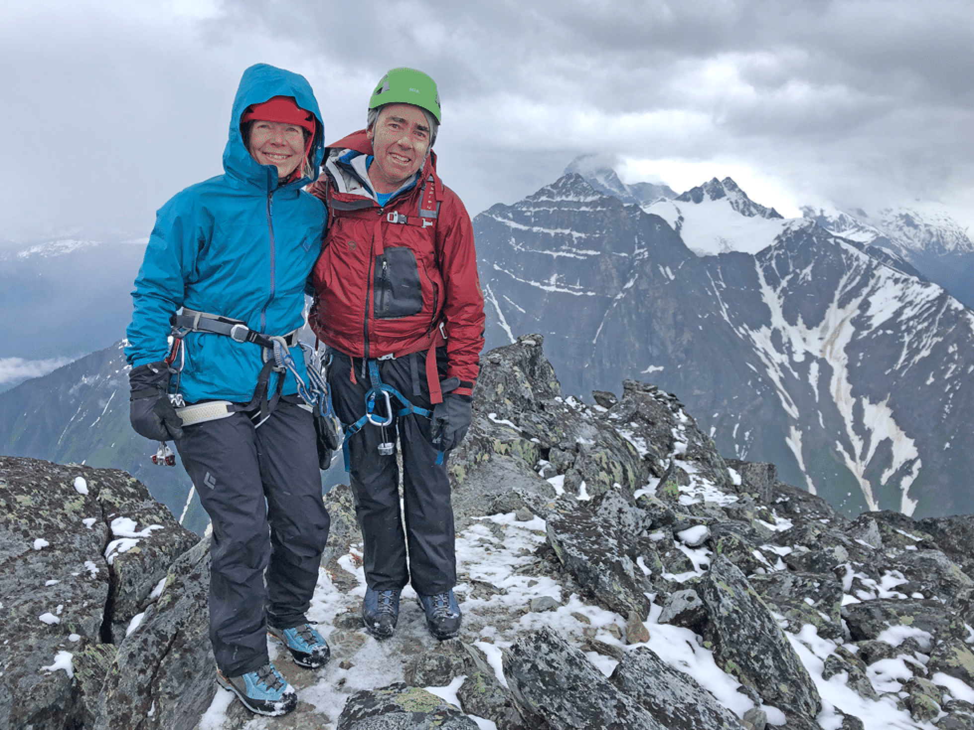
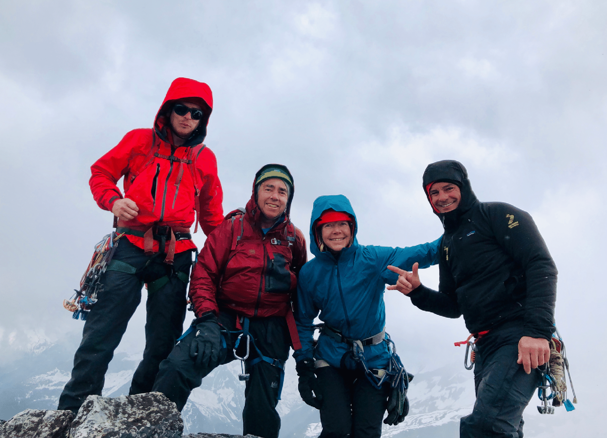
At the summit. We are happy to have made it in these conditions, but the long descent awaits us. Photos by Tim McAllister.
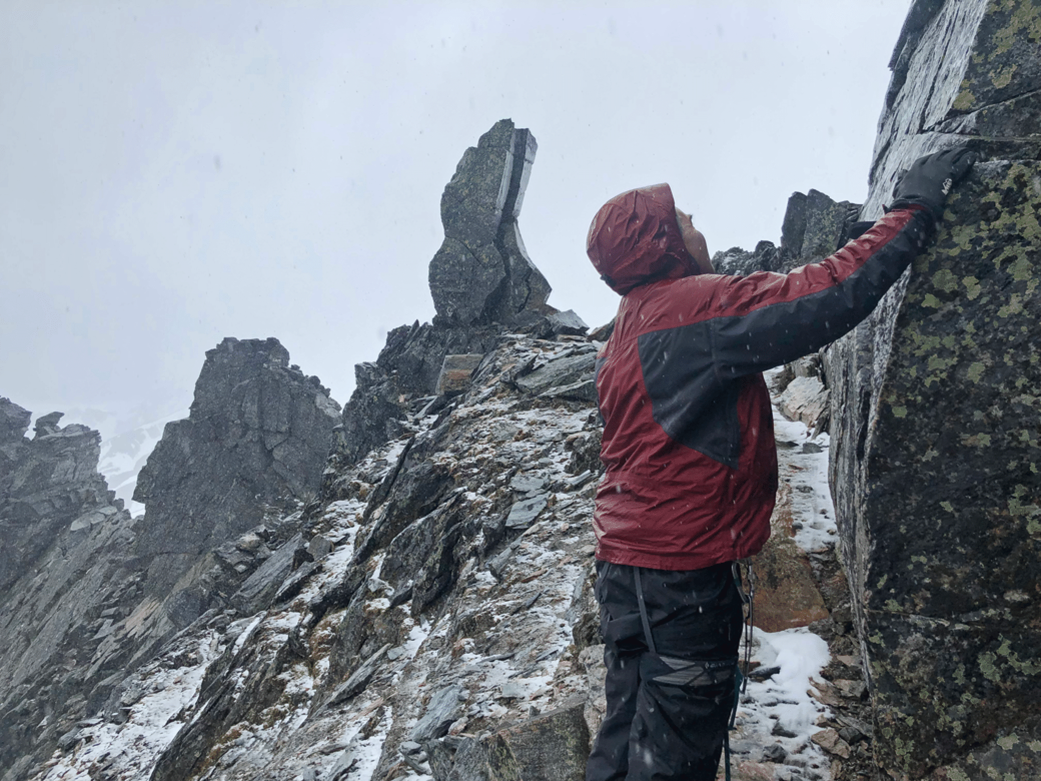
The hermit lurks below. There was a very funny typo on a B.C. web page which said that the tower looks like a hermit with a god [sic] at its feet.
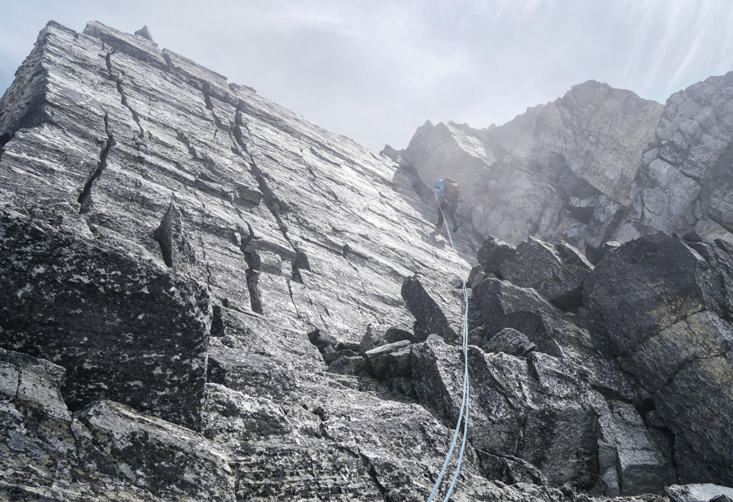
Kim descending one of many class 4 sections.
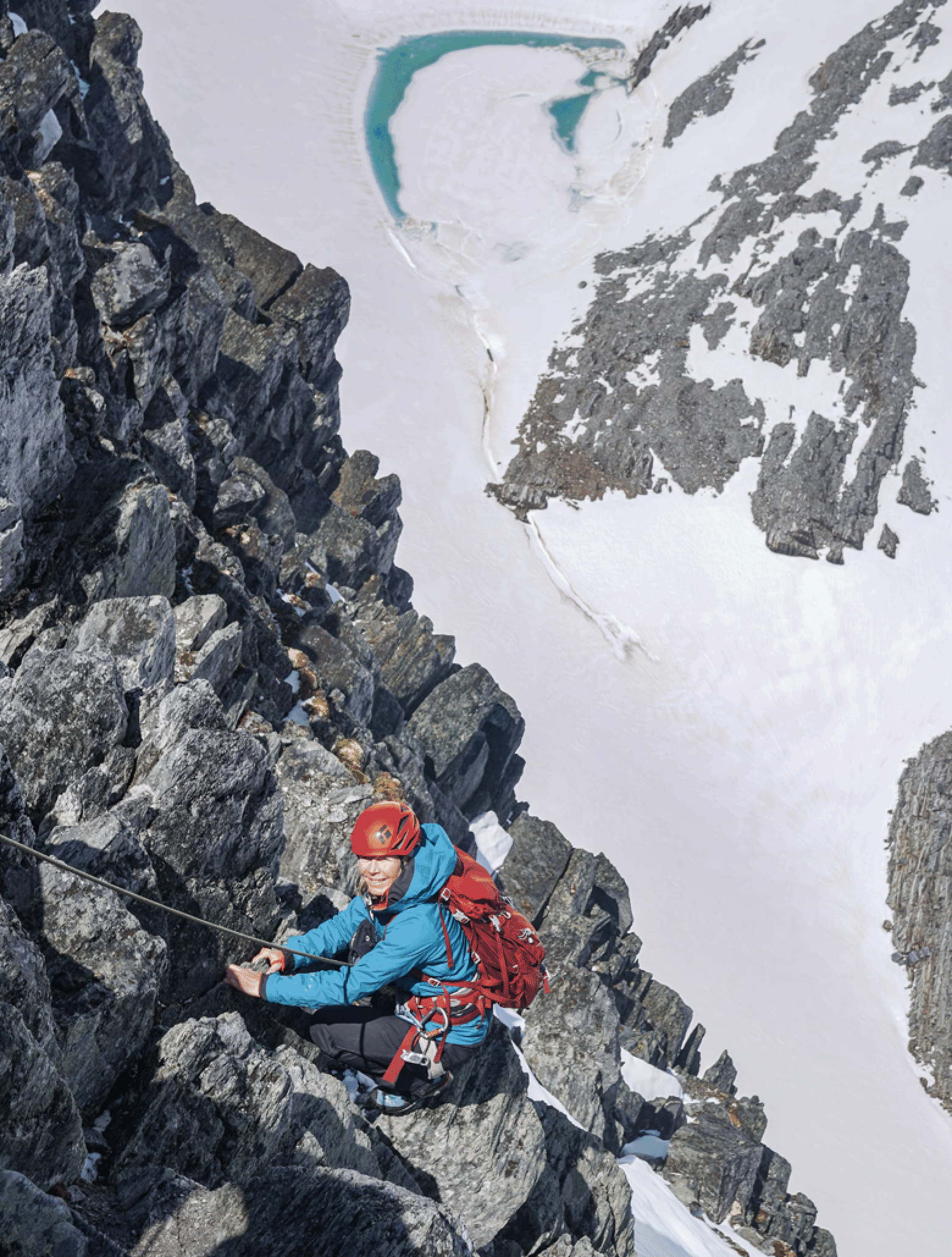
Kim rappelling near the second pitch.
Stan on the last rappel. Photo by Kim Clark.
Andrew descending after all the rappels have been completed.
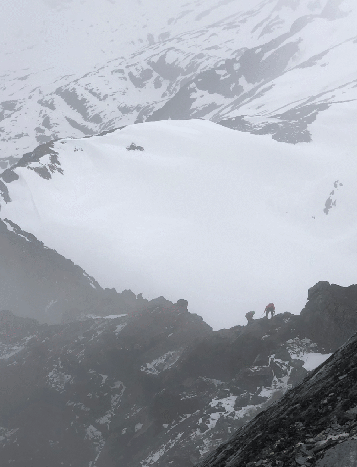
Descending into the murk. (Photo by Tim McAllister)
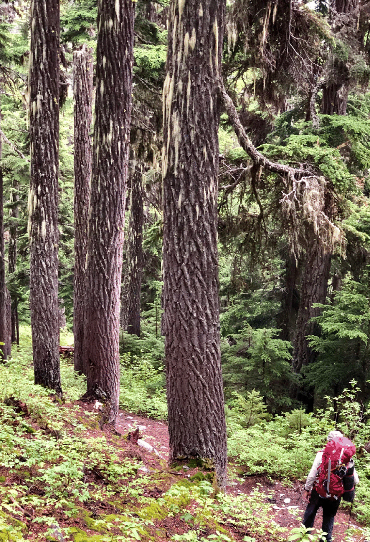
The trail from camp to road was fabulous. (Photo by Tim McAllister)